Panama (March 2018): Across the Cordillera Central from Boquete to Caribbean Coast (Day 3)
![]()
Return to main Cordillera trekking page | Return to main Panama 2018 page
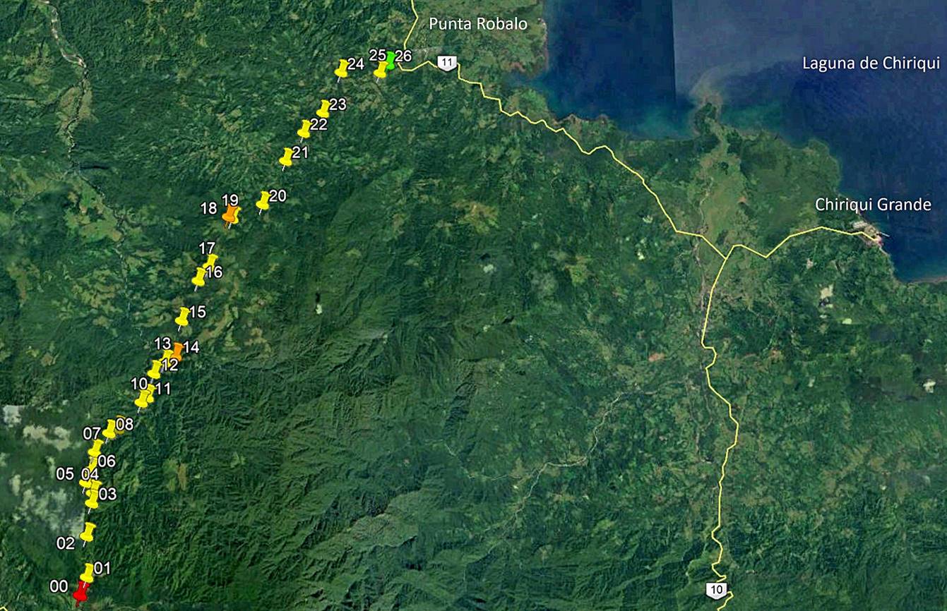
[Reminder: Click here to access the GPS-recorded waypoints in Google Earth.]
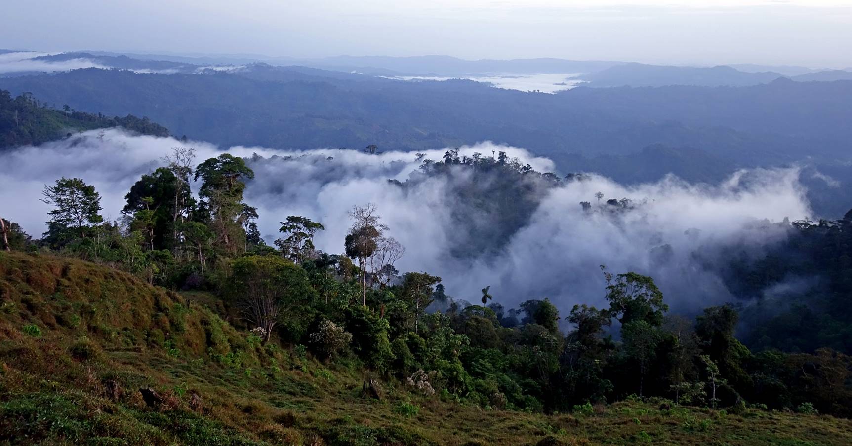
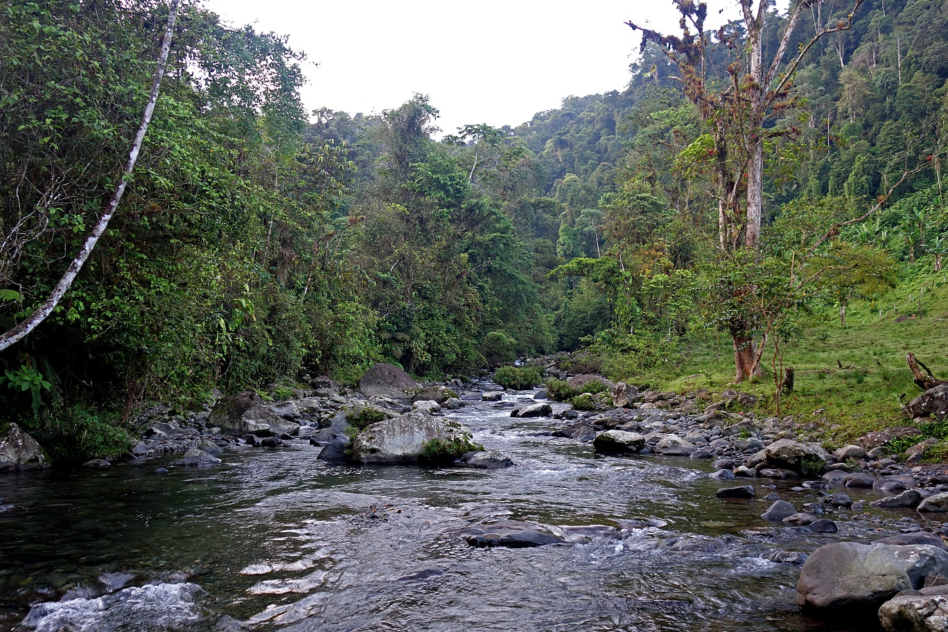
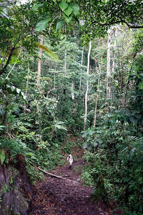
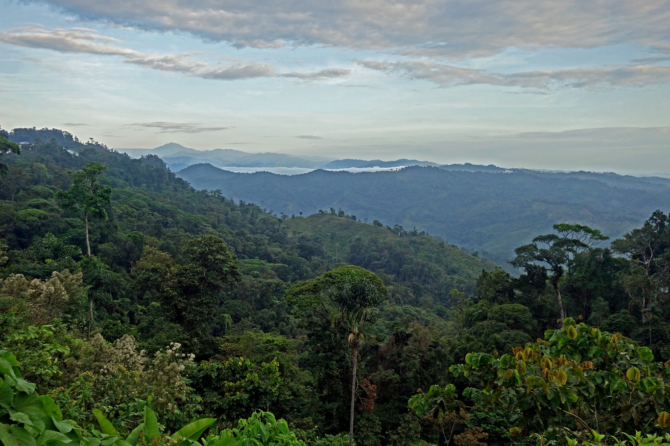
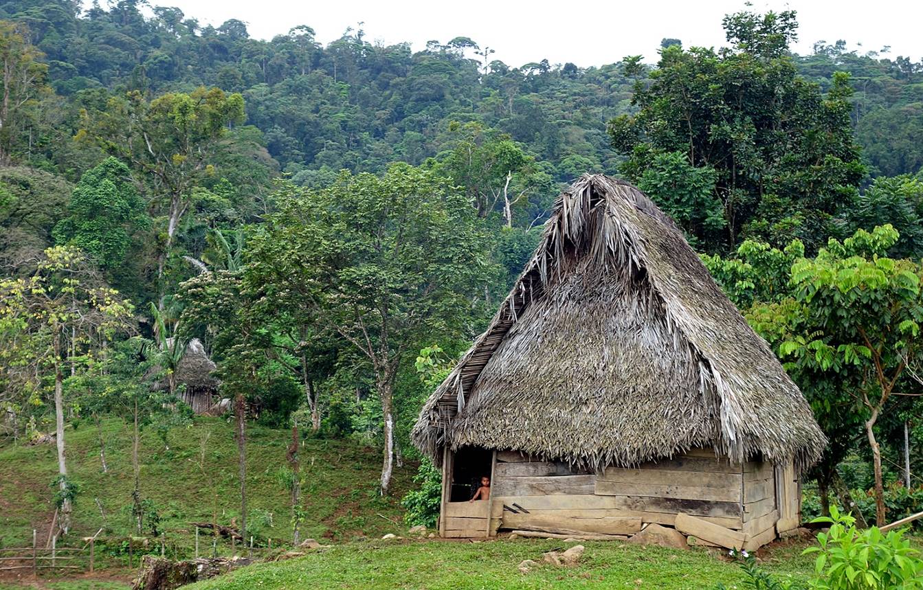
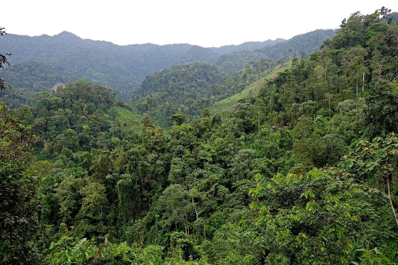
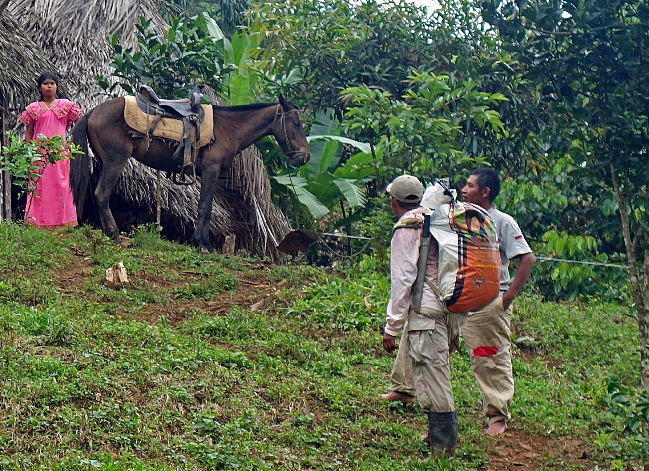
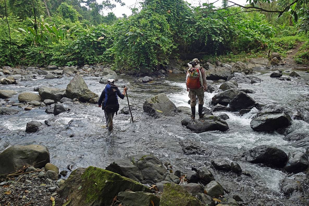
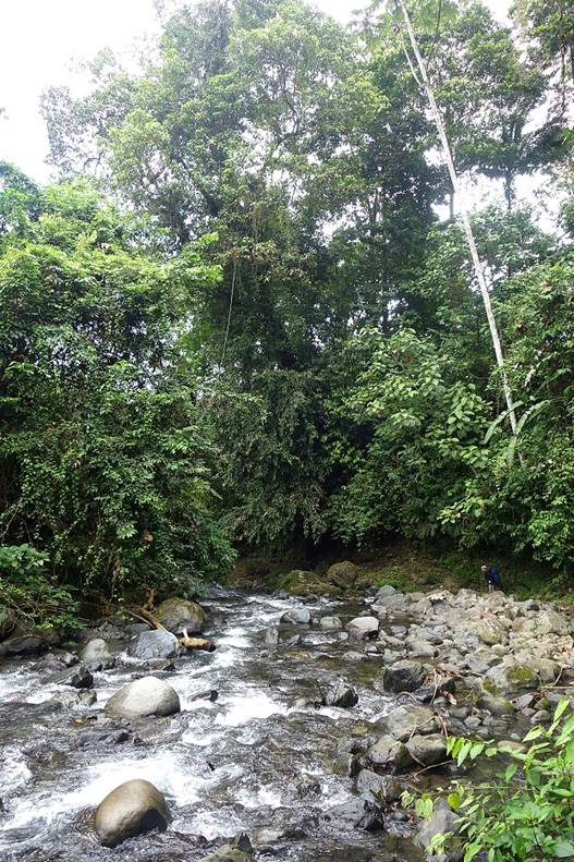
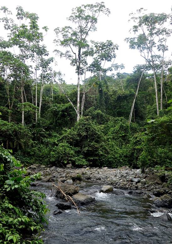
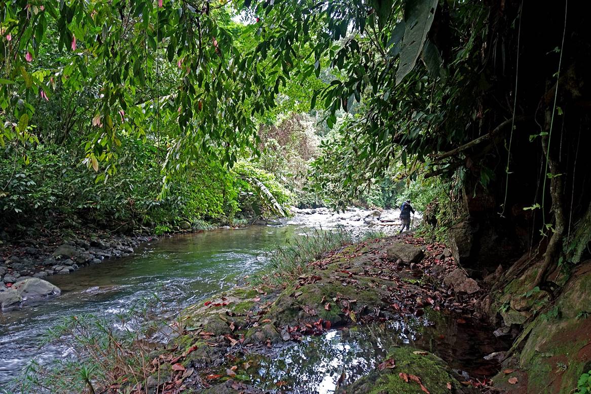
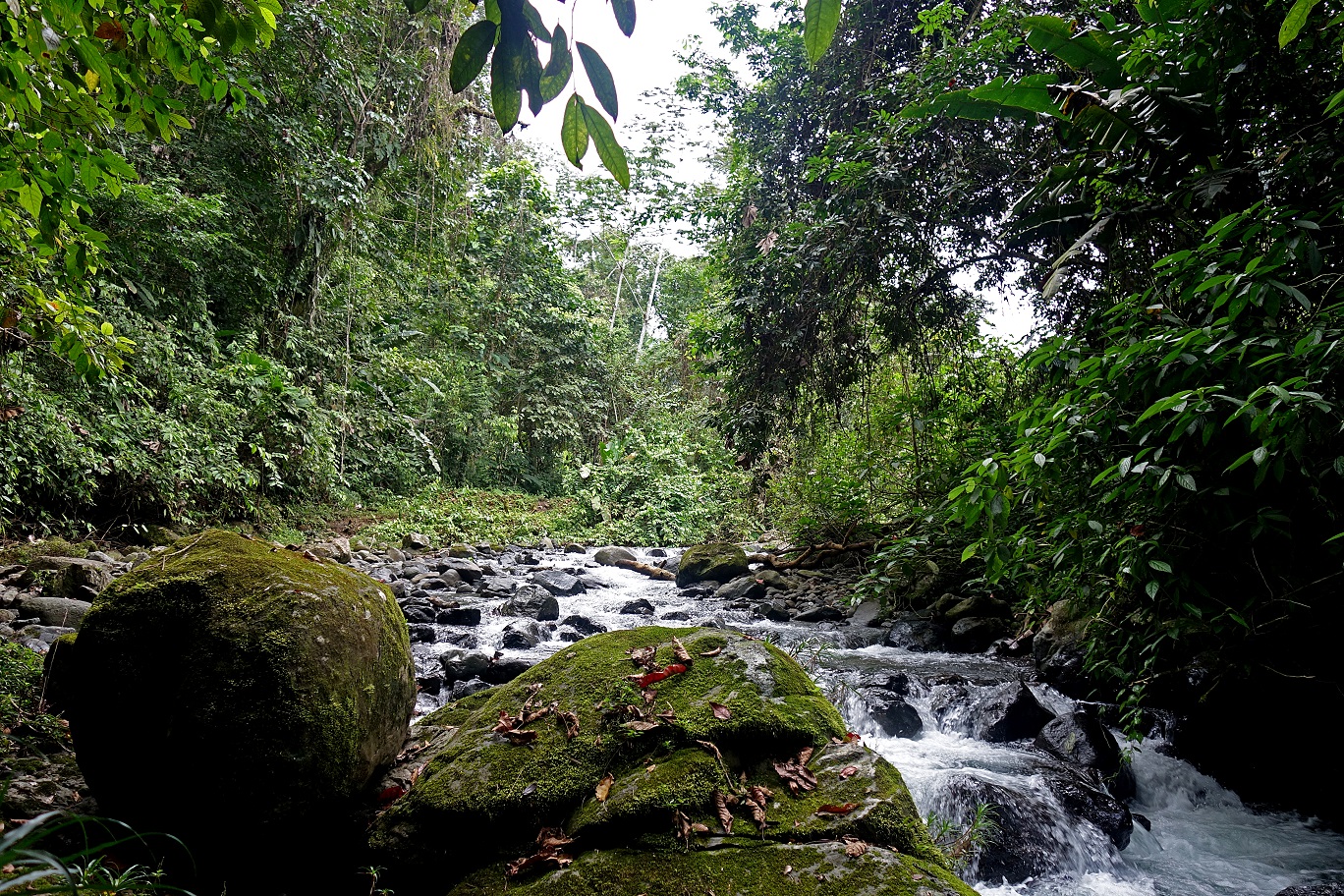
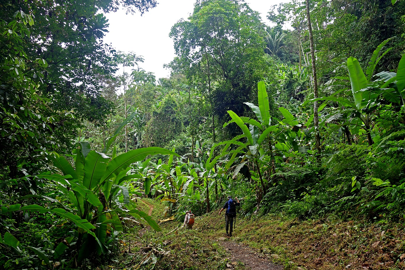
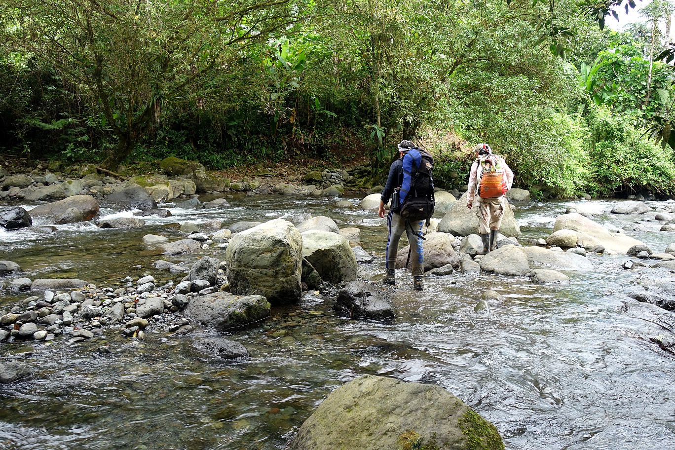
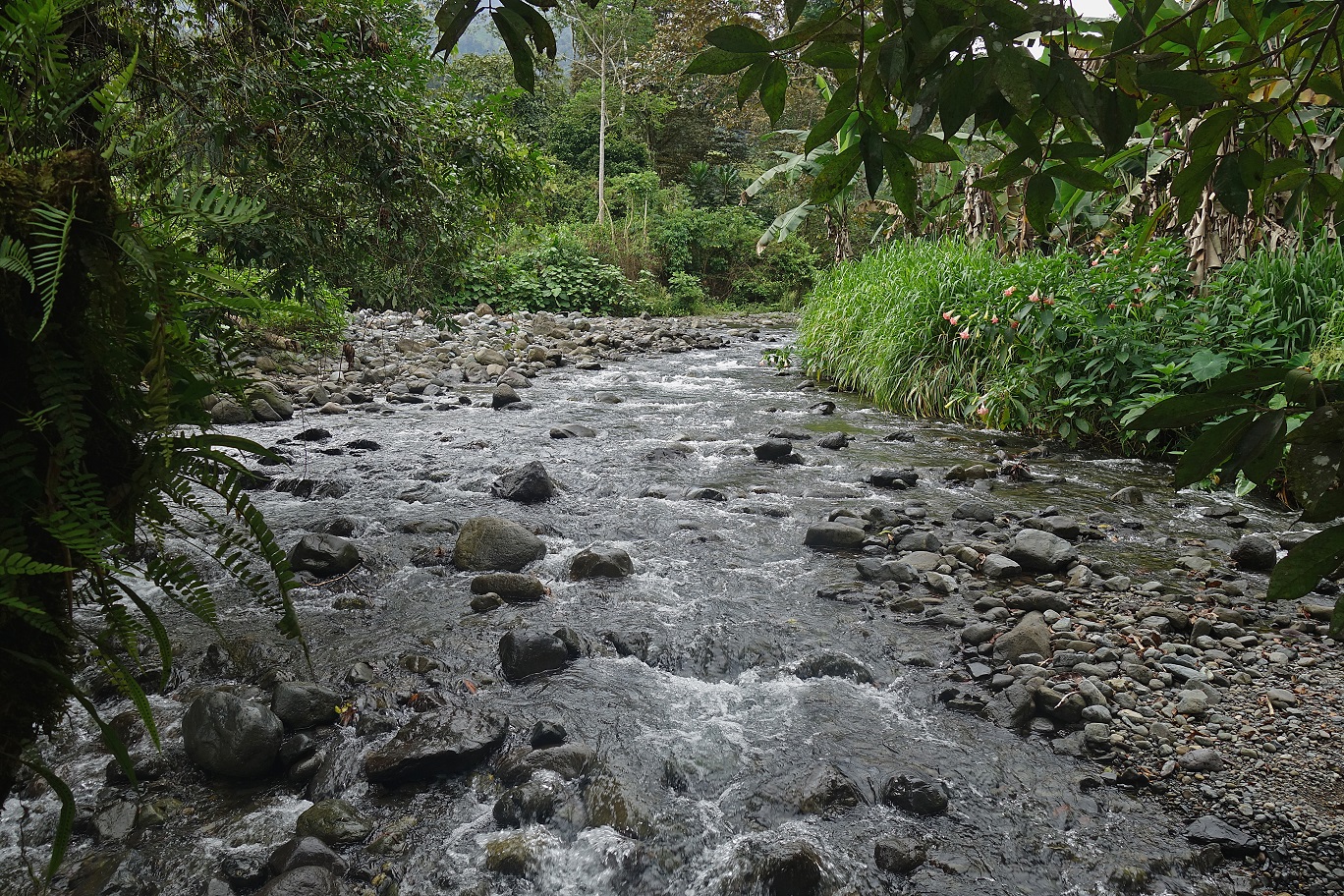
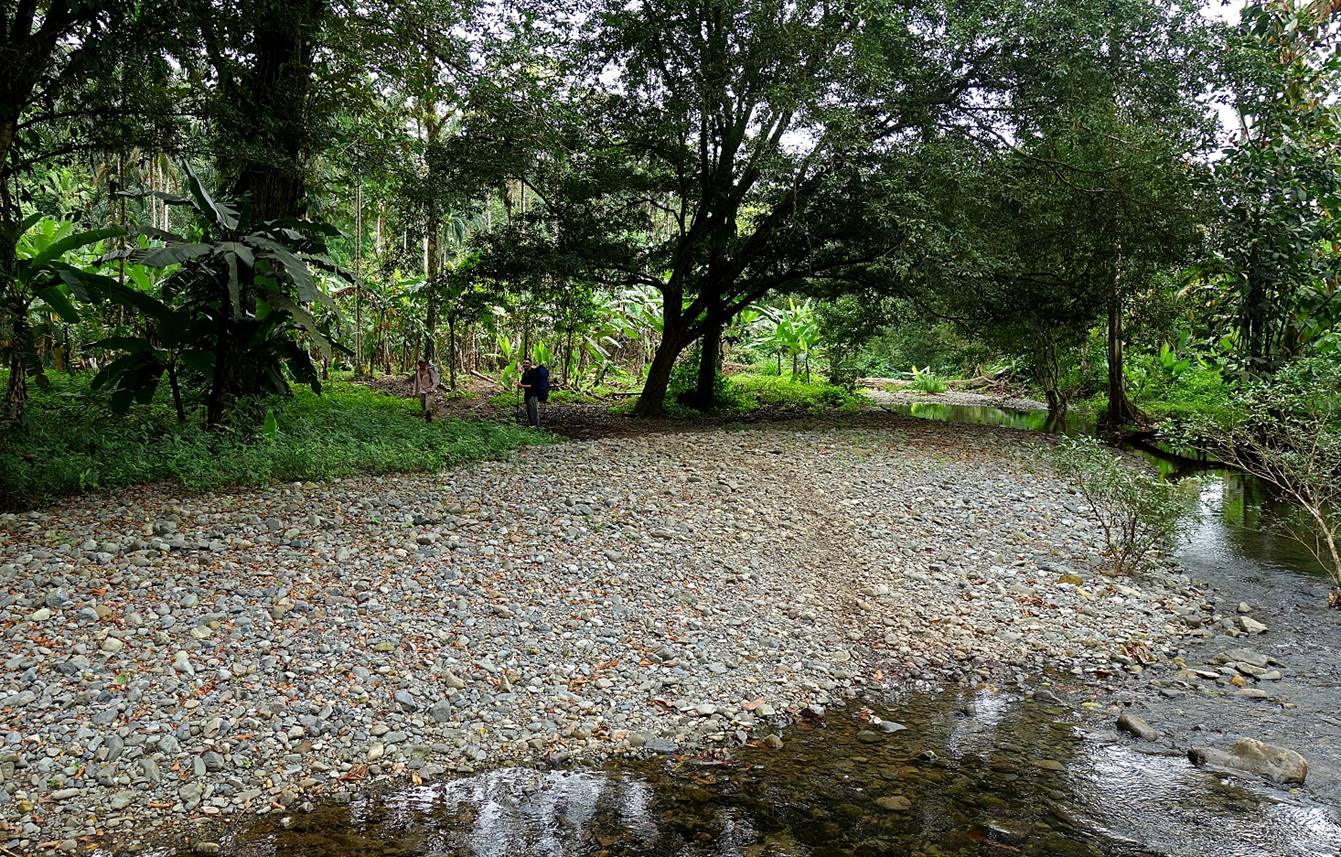
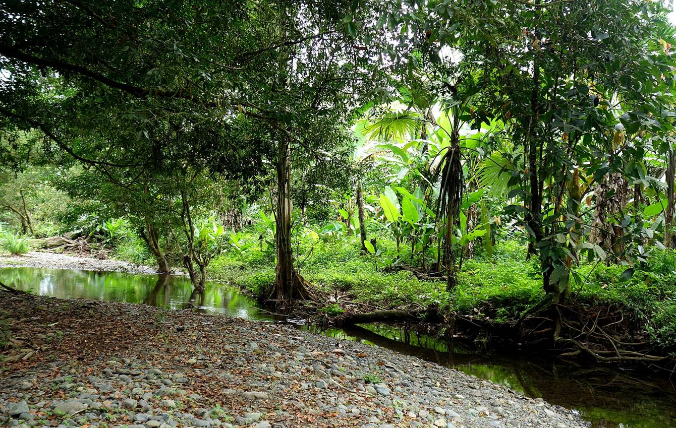
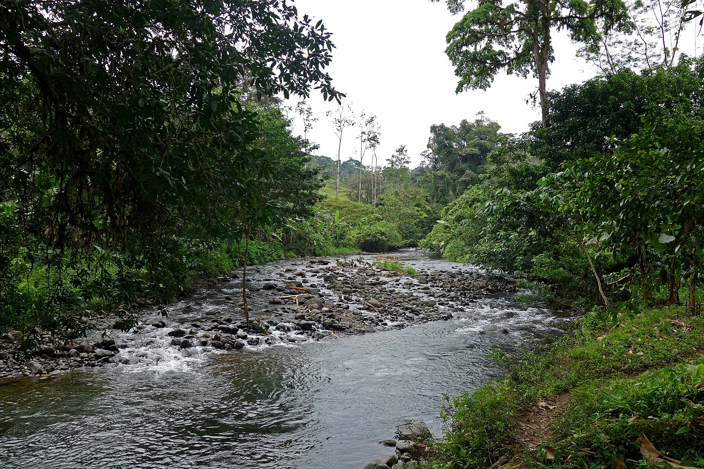
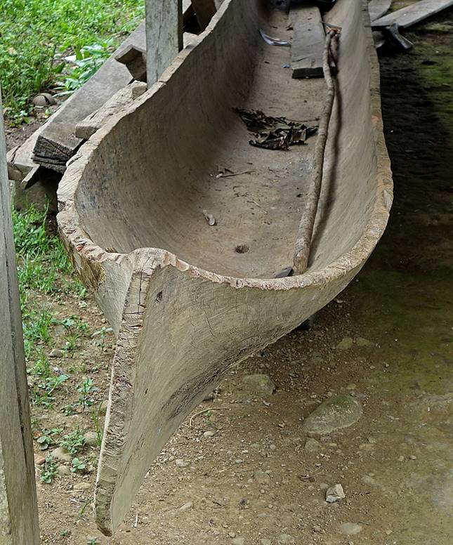
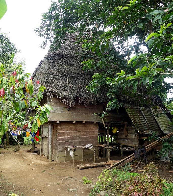
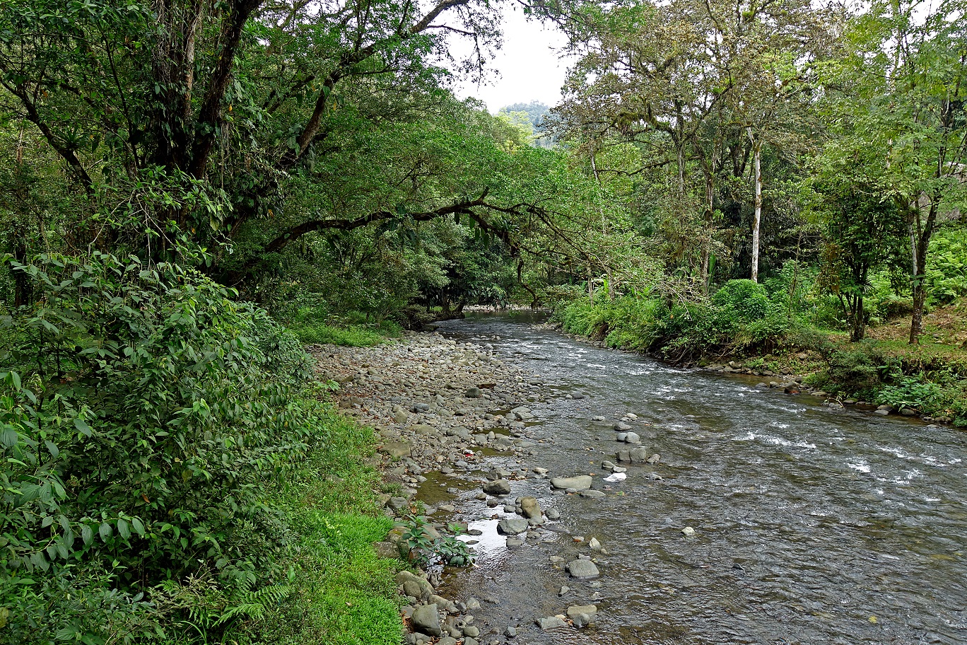
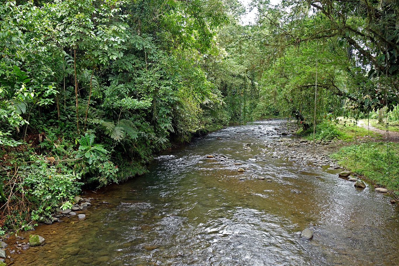
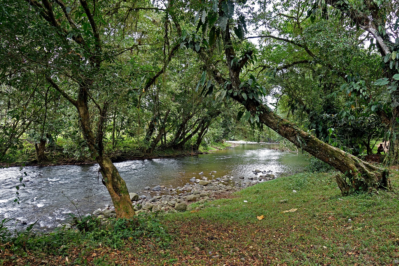
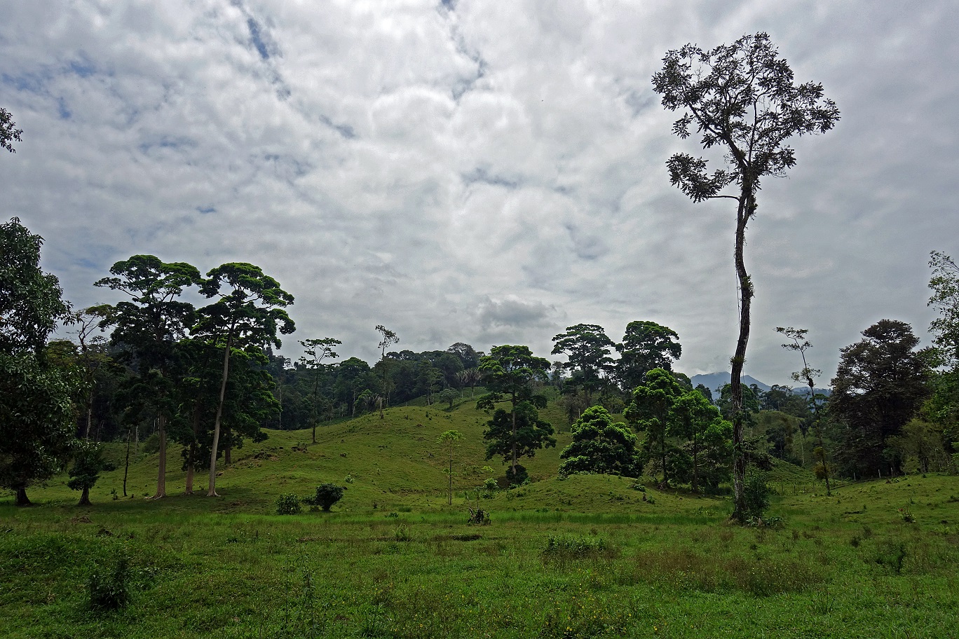
On that day we lost much elevation to reach sea level. We passed by an increasing number of Ngobe-Bugle settlements and we forded more and more rivers. With loss of elevation sun became our enemy.
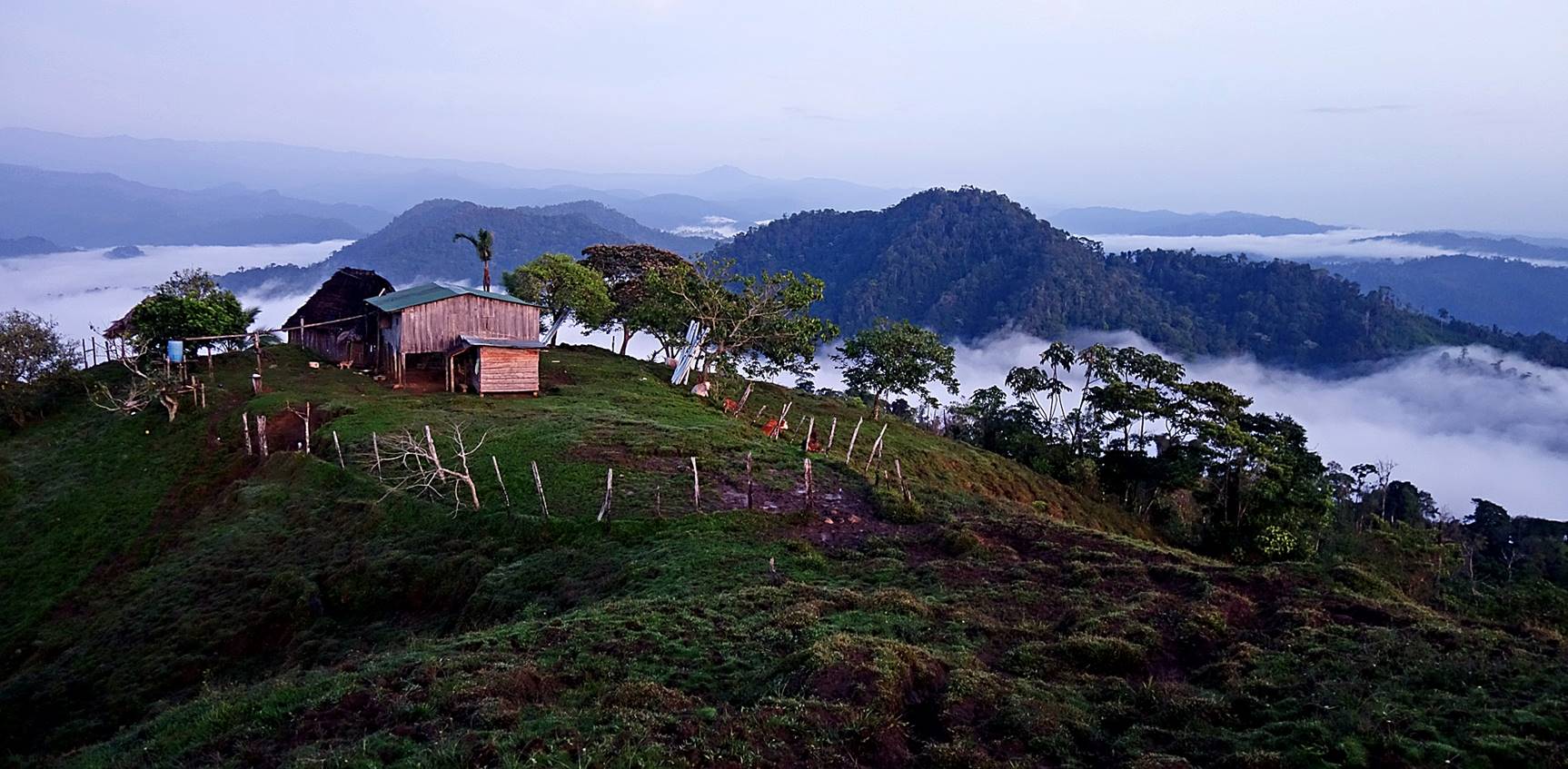
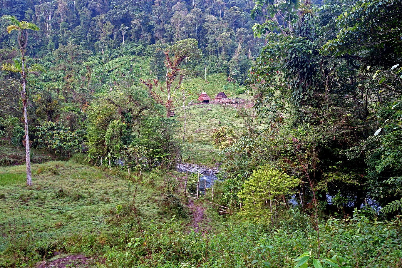
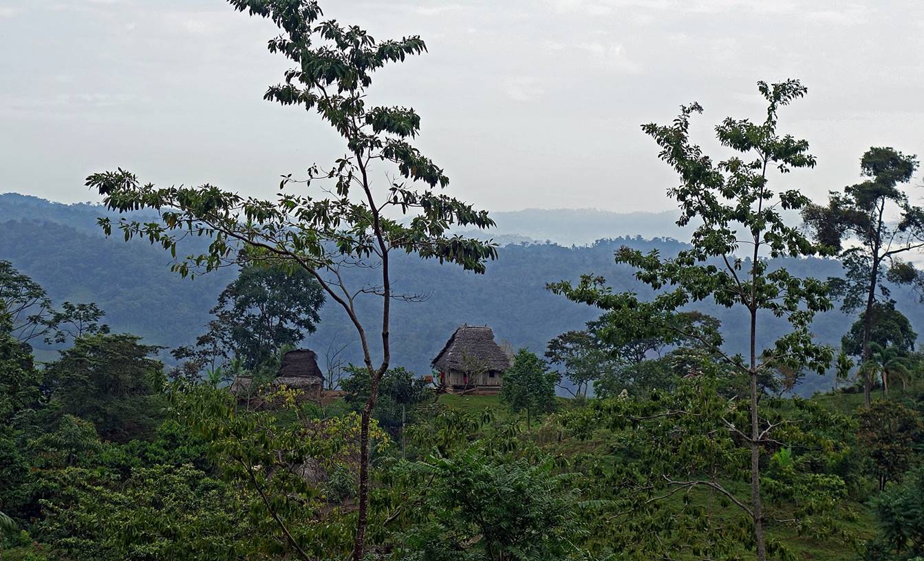
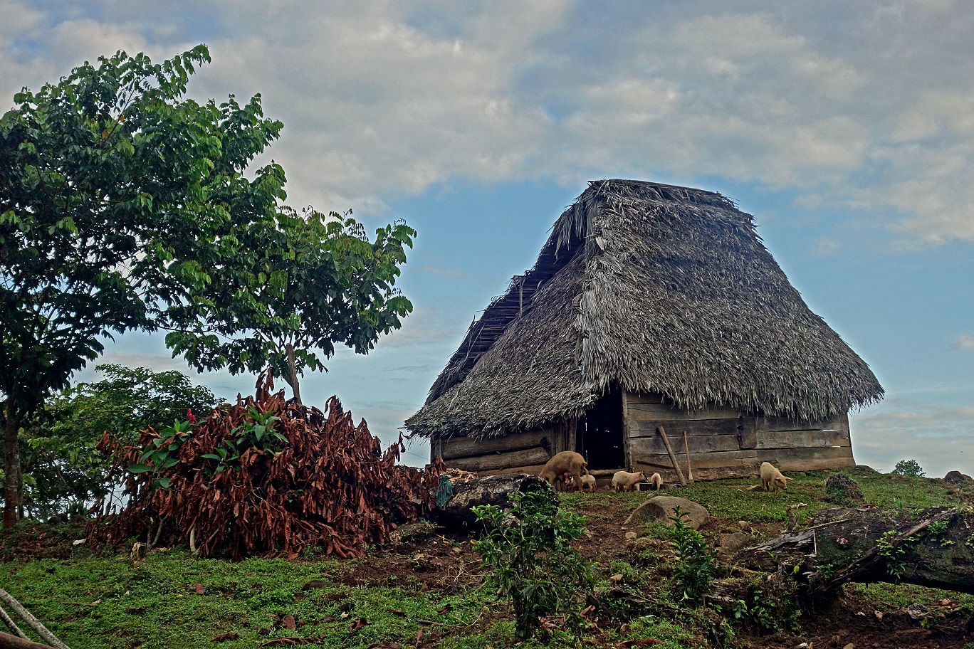
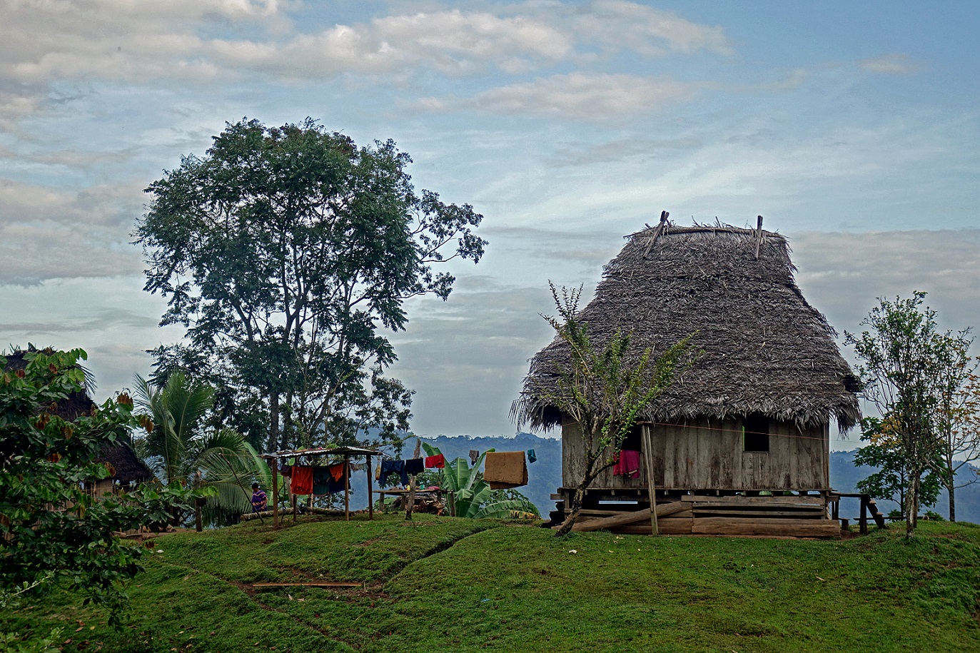
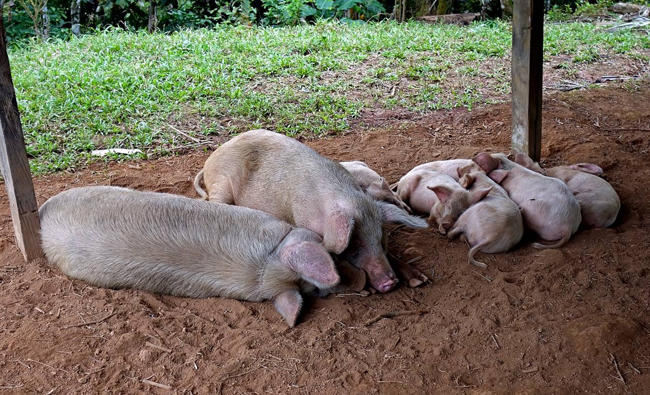
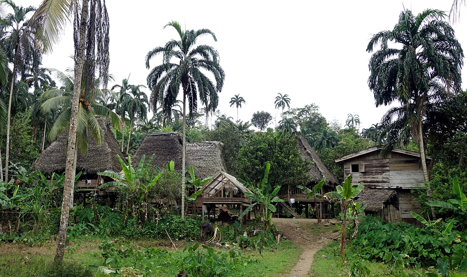
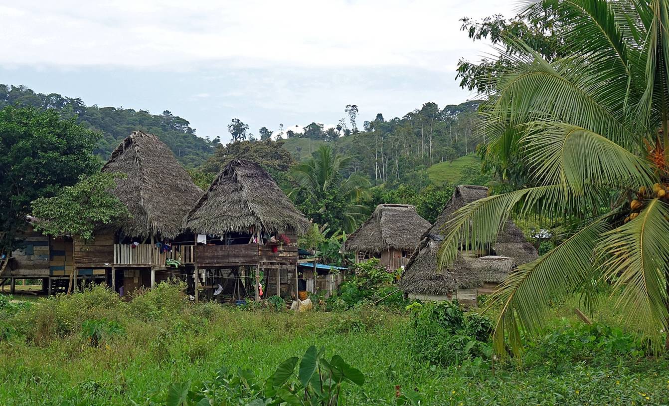
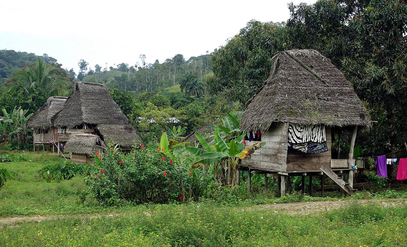
Early morning at the Ngobe-Bugle house where we spent the night.
|
|
|
|
|
|
|
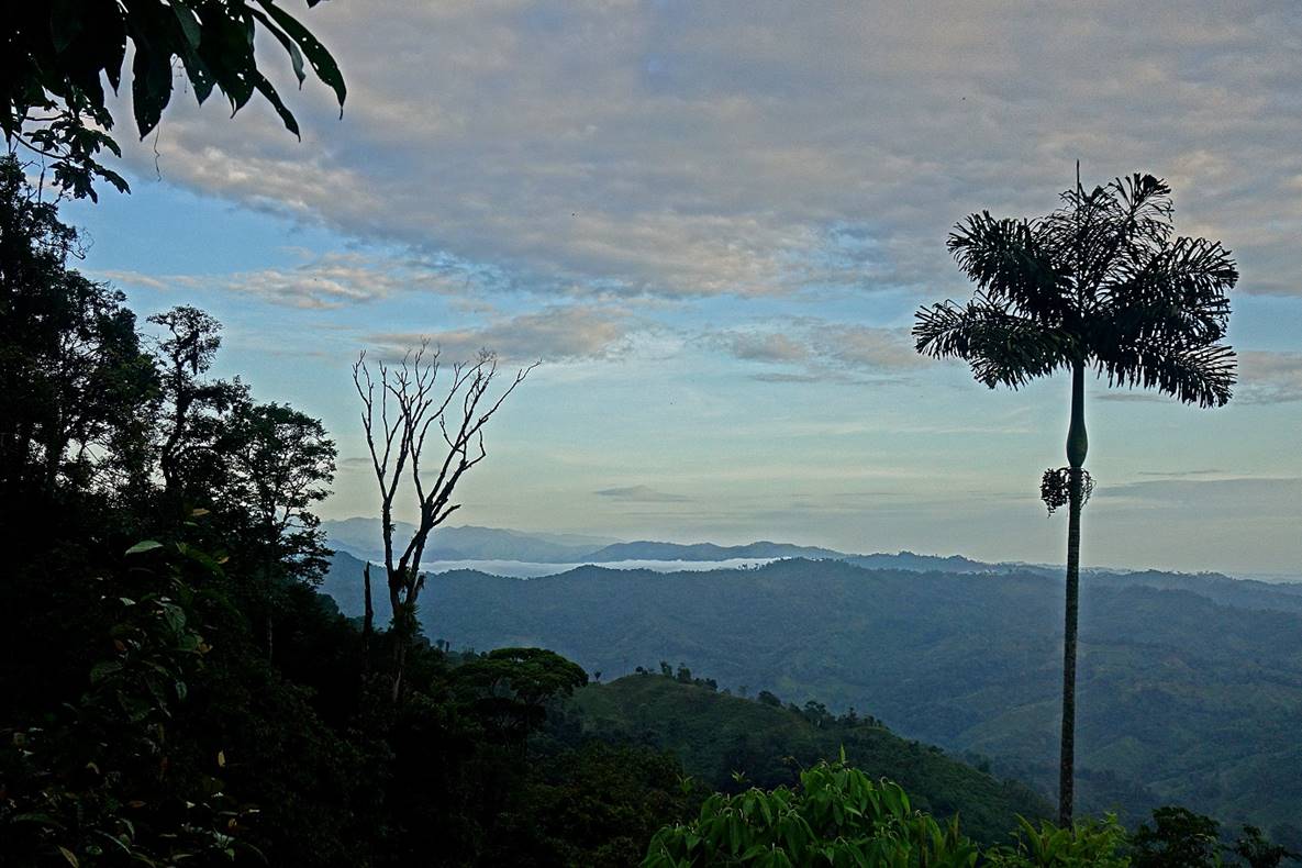
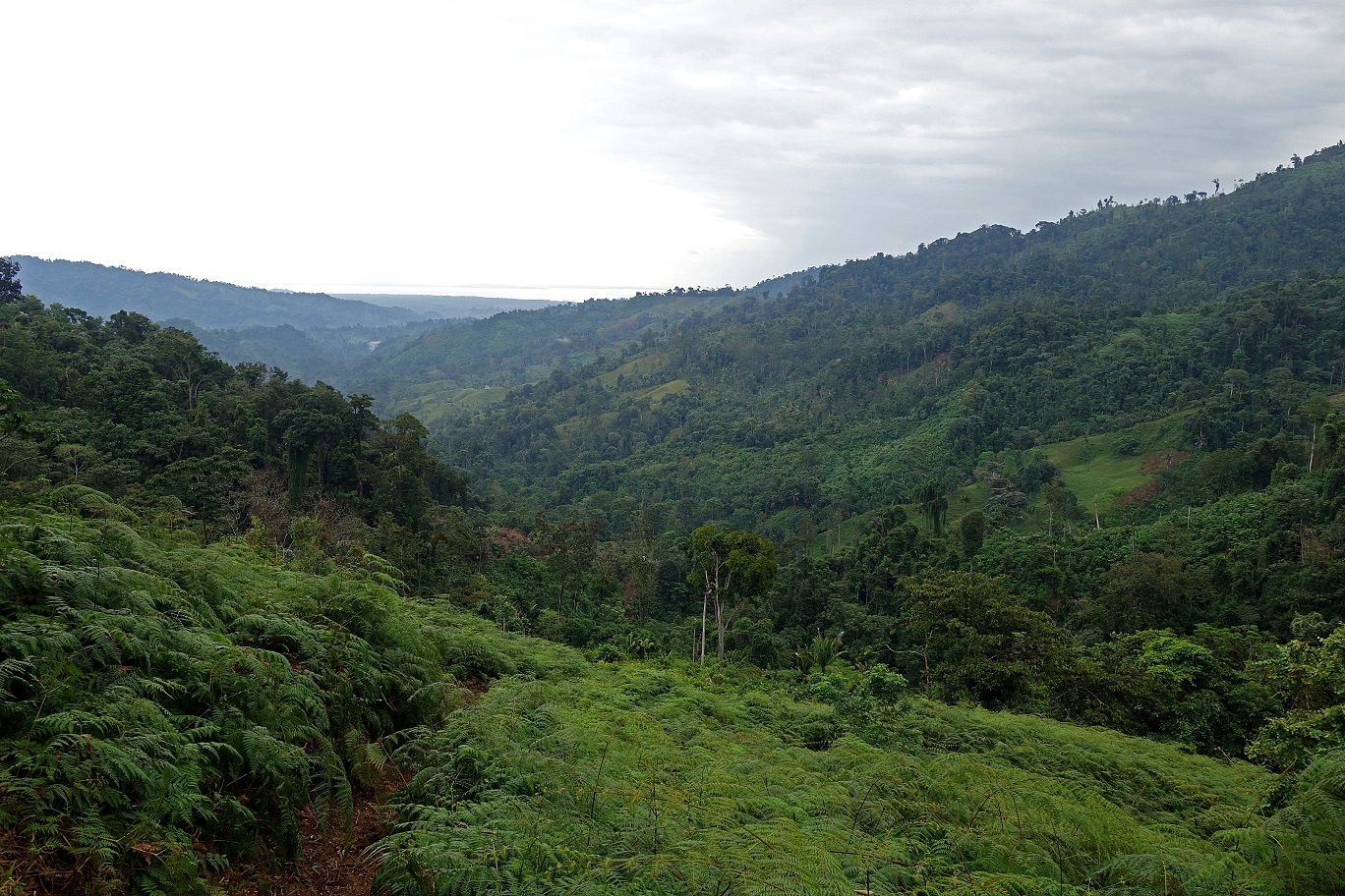
View toward the Caribbean Sea, with Laguna de Chiriqui (connected to the sea) visible on the right.
|
|
|
|
|
|
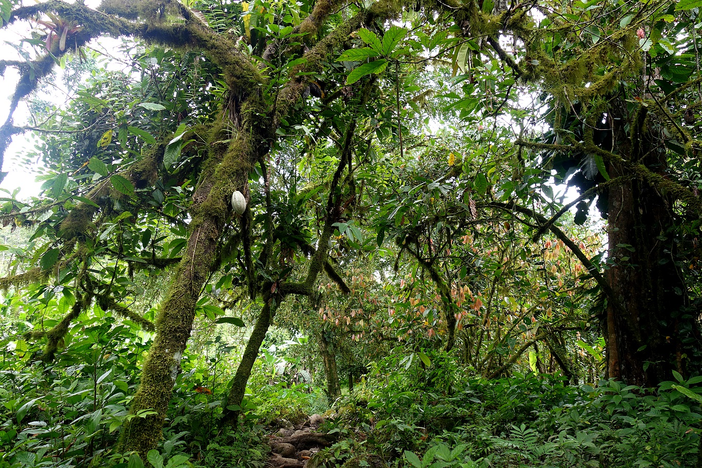
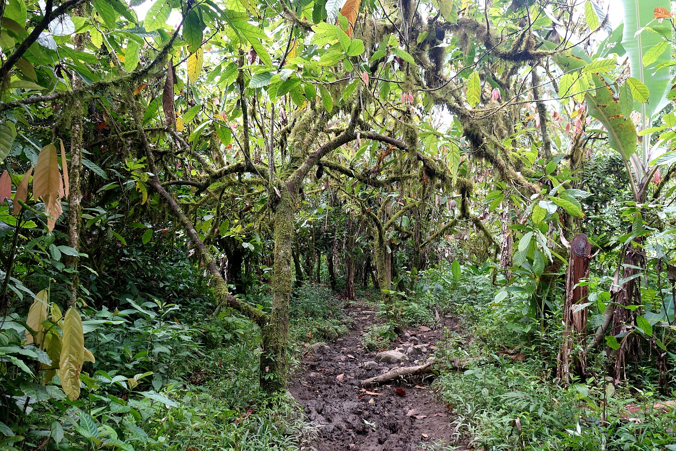
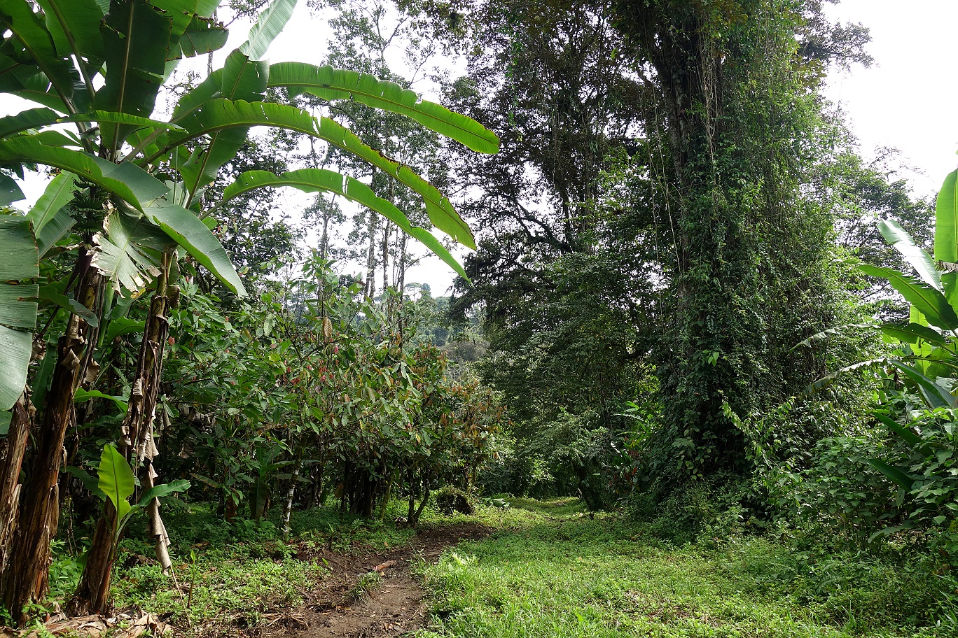
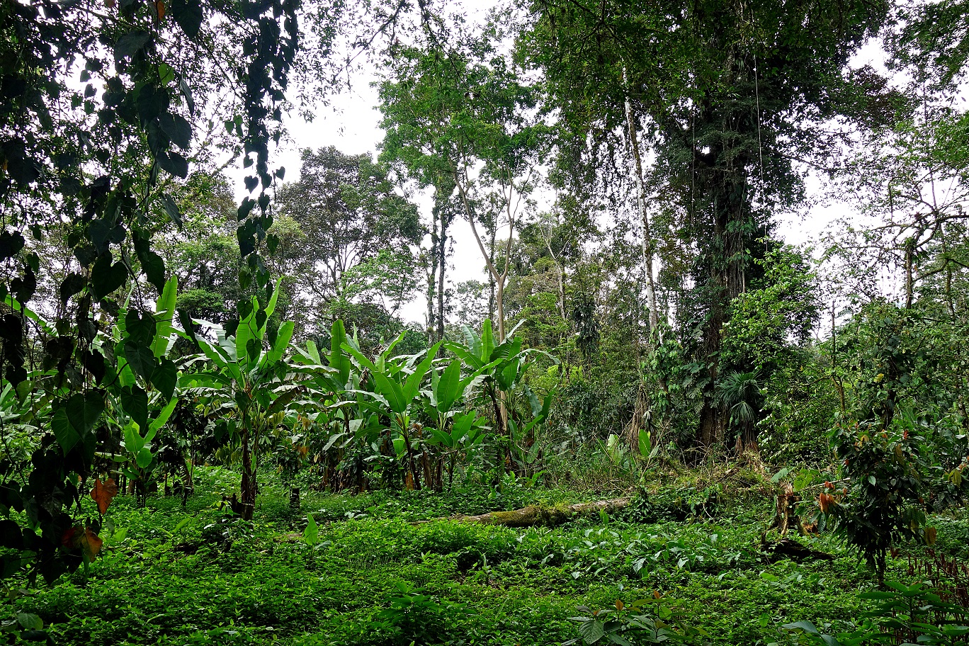
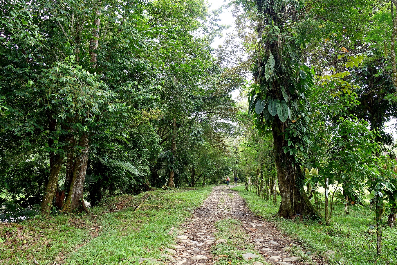
Path among cacao trees.
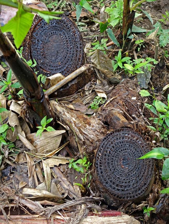
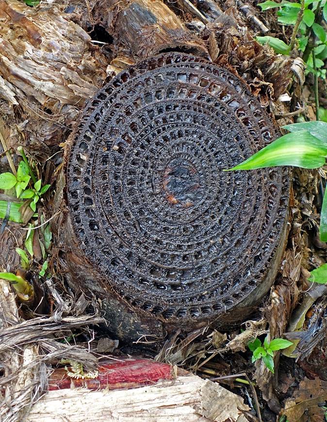
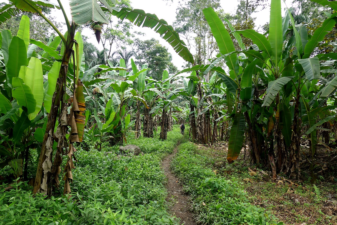
Pattern of banana tree cross-sections.
|
|
|
|
|
|
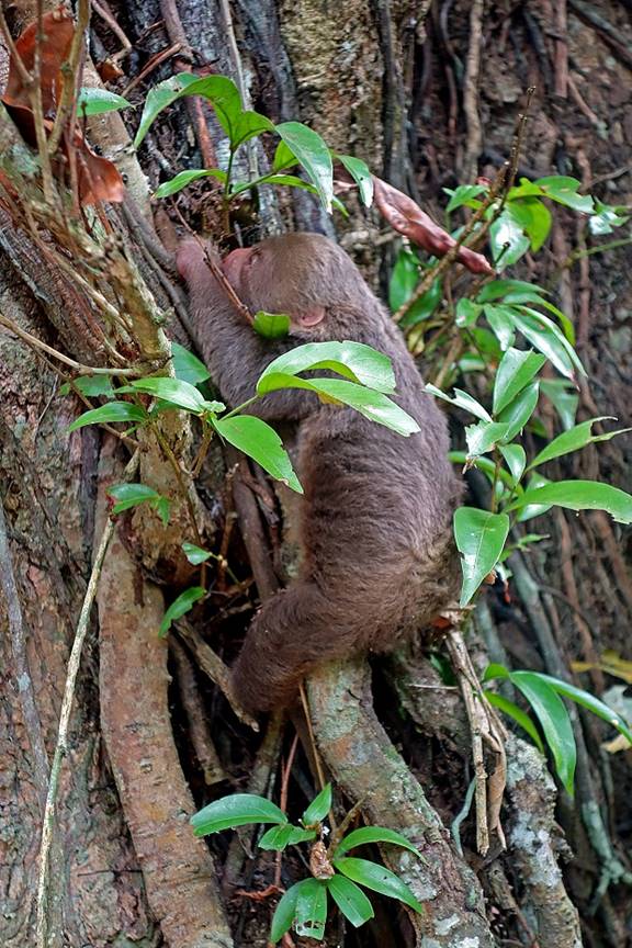
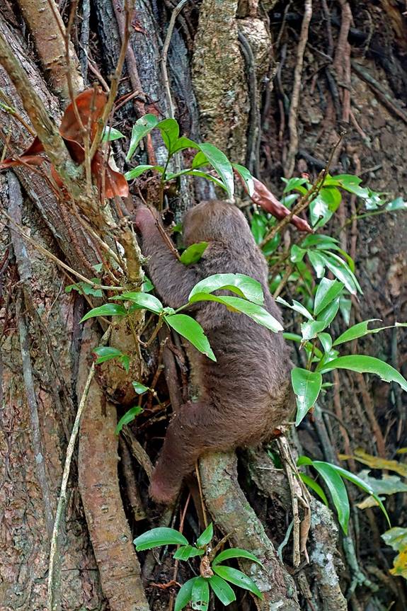
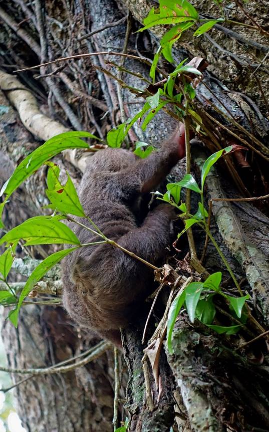
Young sloth trying to climb back in its tree.
|
|
|
|
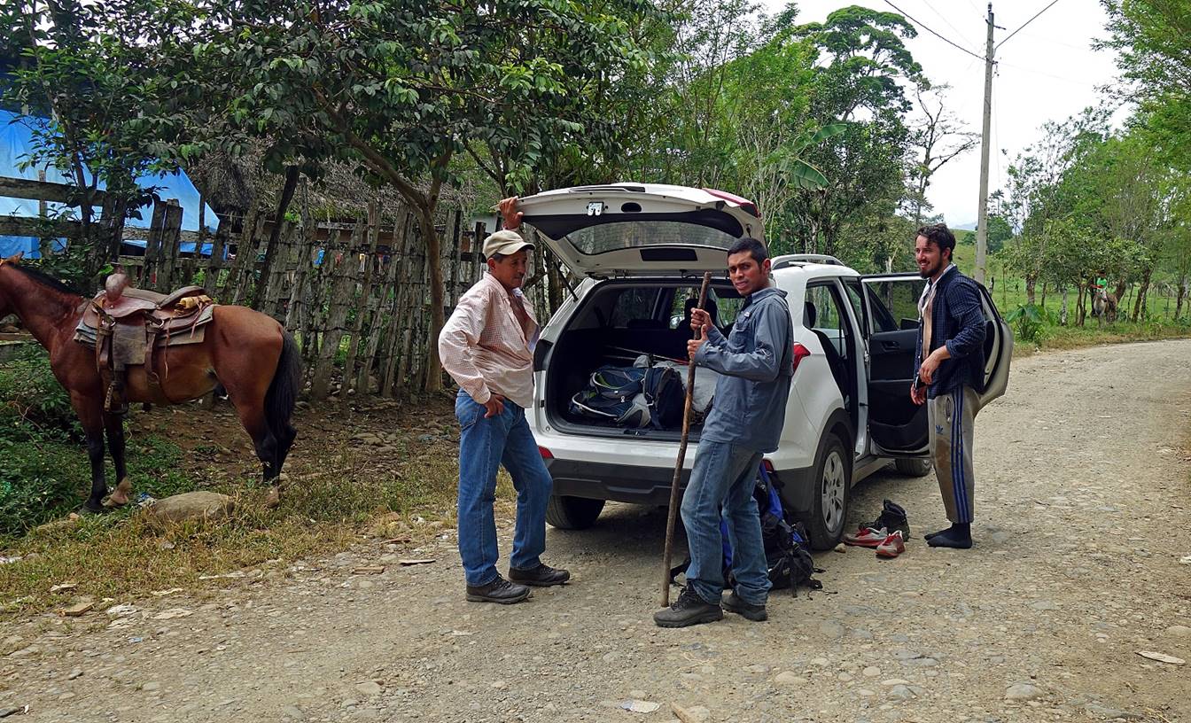
Meeting with the car at the end of the trek, near the main road back to Boquete.
![]()
Return to main Cordillera trekking page | Return to main Panama 2018 page