Peru (1999): Five-day trek in the Cordillera Vilcabamba
![]()
Return to my mountaineering/trekking/travel webpage
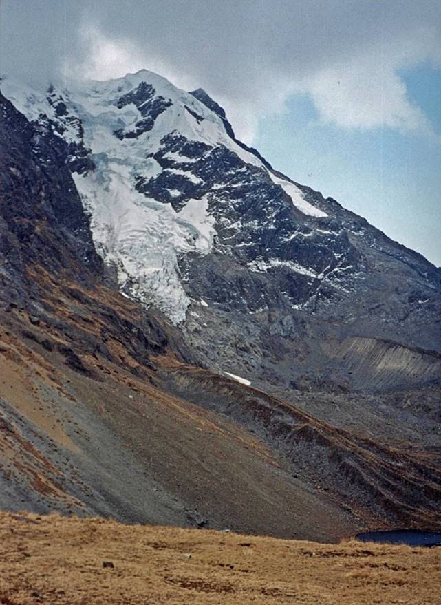
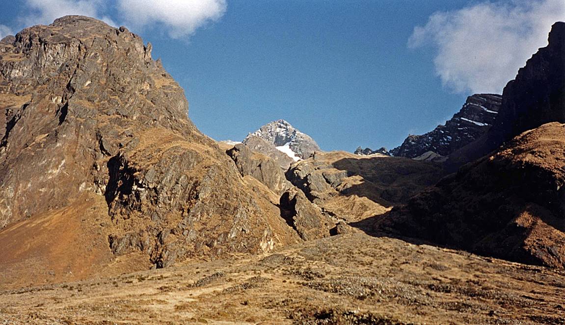
The Cordillera Vilcabamba
is located northwest of Cusco between the Rio Urubamba on its northern side and
the Rio Apurimac on its southern side. This 85km-long mountain range contains famous
Machu Pichu and several peaks above 5000m. It
culminates at Salkantay (6271m). I did this trek after a 10-day trek
in the Cordillera Vilcanota (south-east of Cusco) and
before making short visits to Cusco and the Amazonian basin.
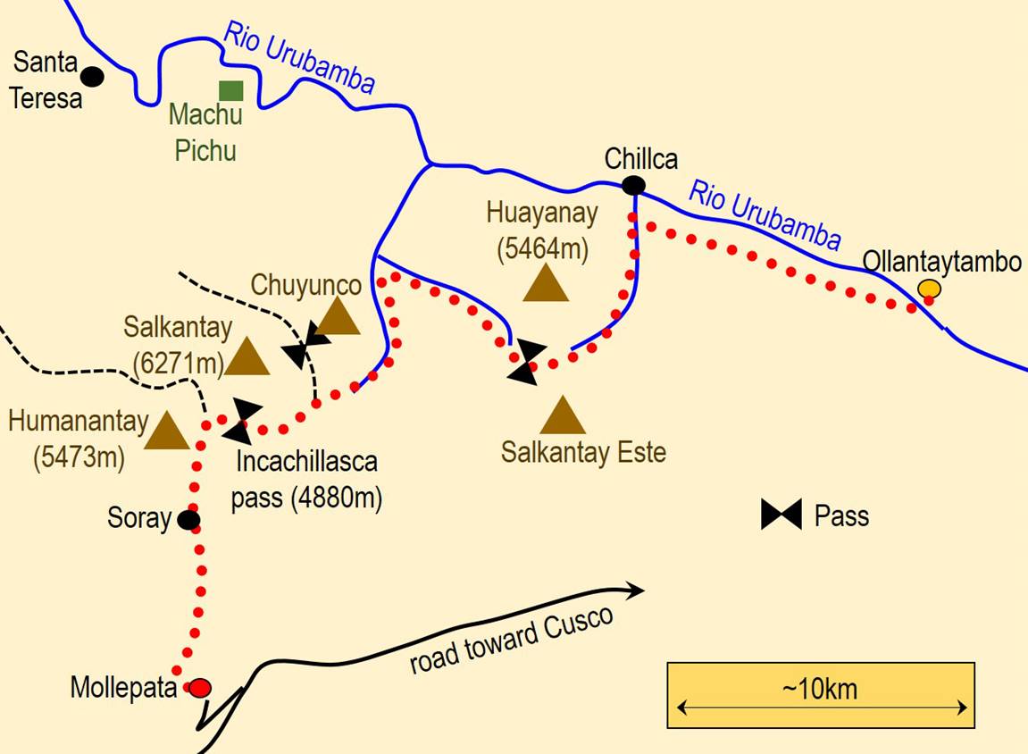
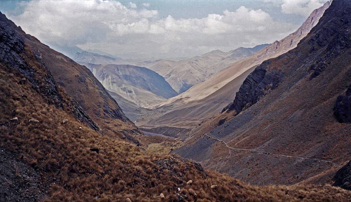
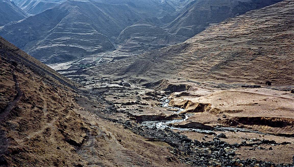
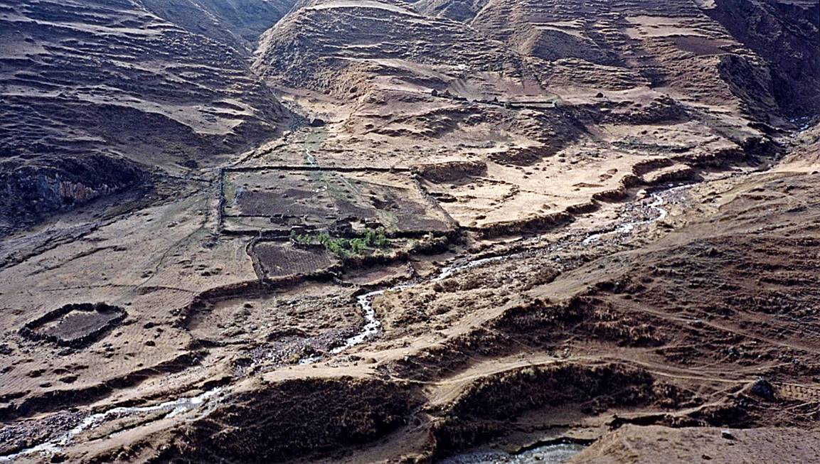
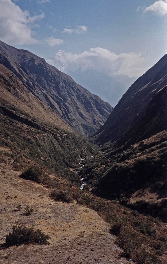
Map sketch, with approximate itinerary
drawn in red dots. The trek starts in Mollepata and
ends in Ollantaytambo.
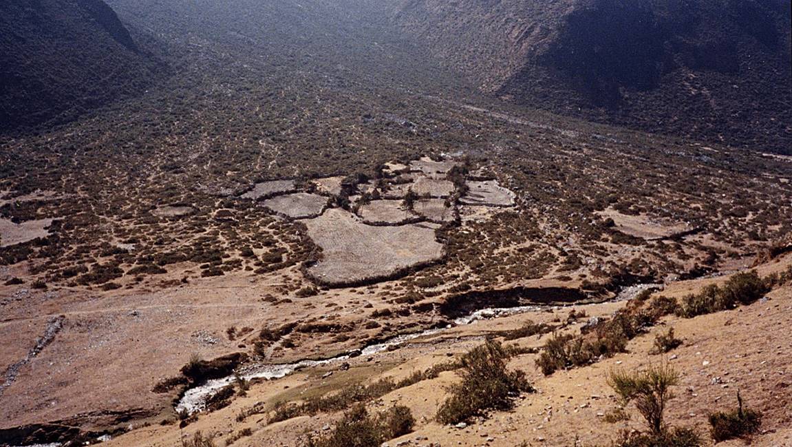
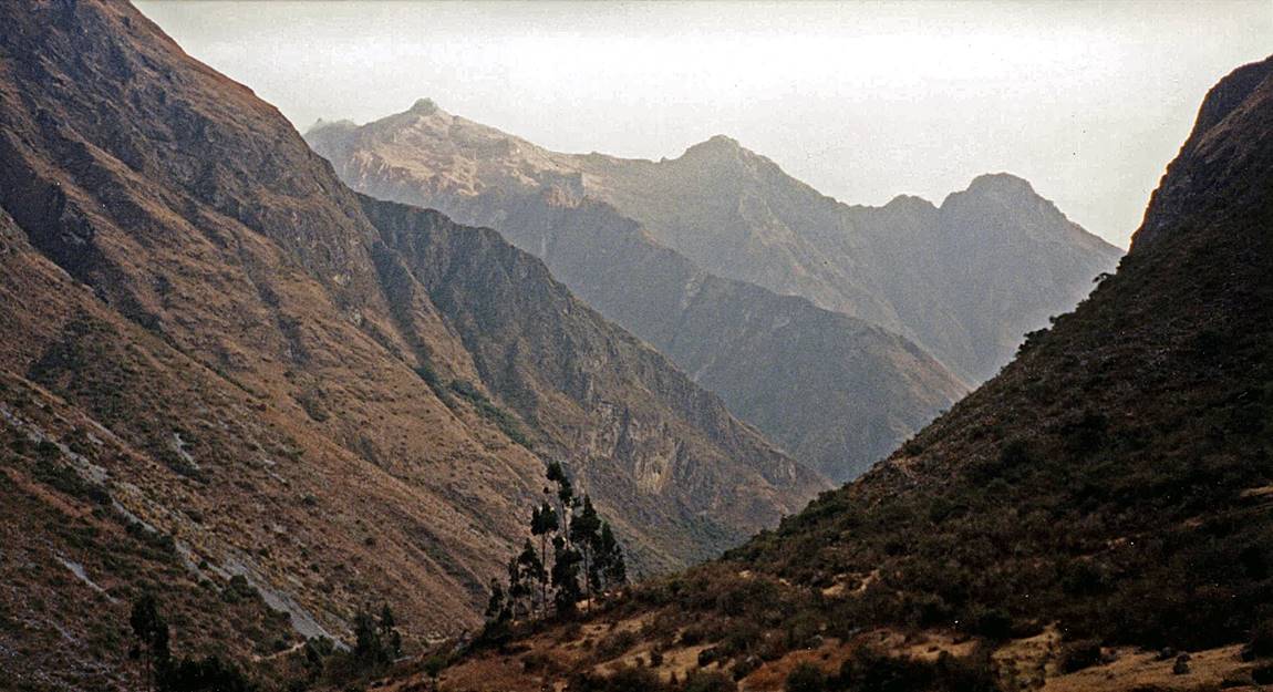
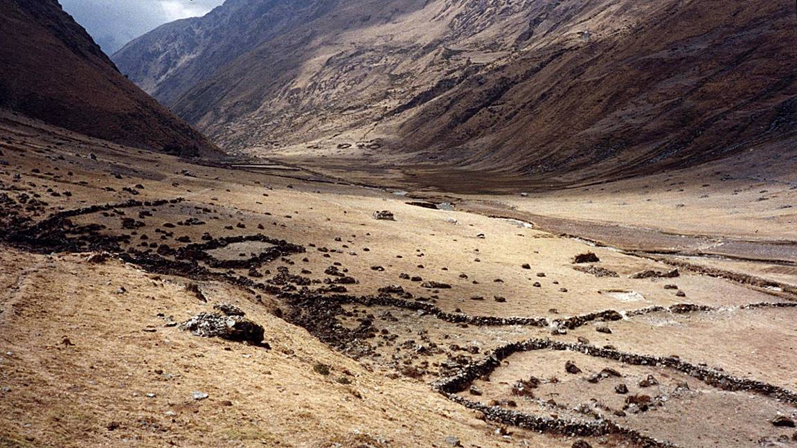
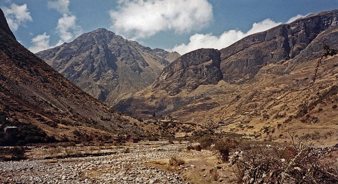
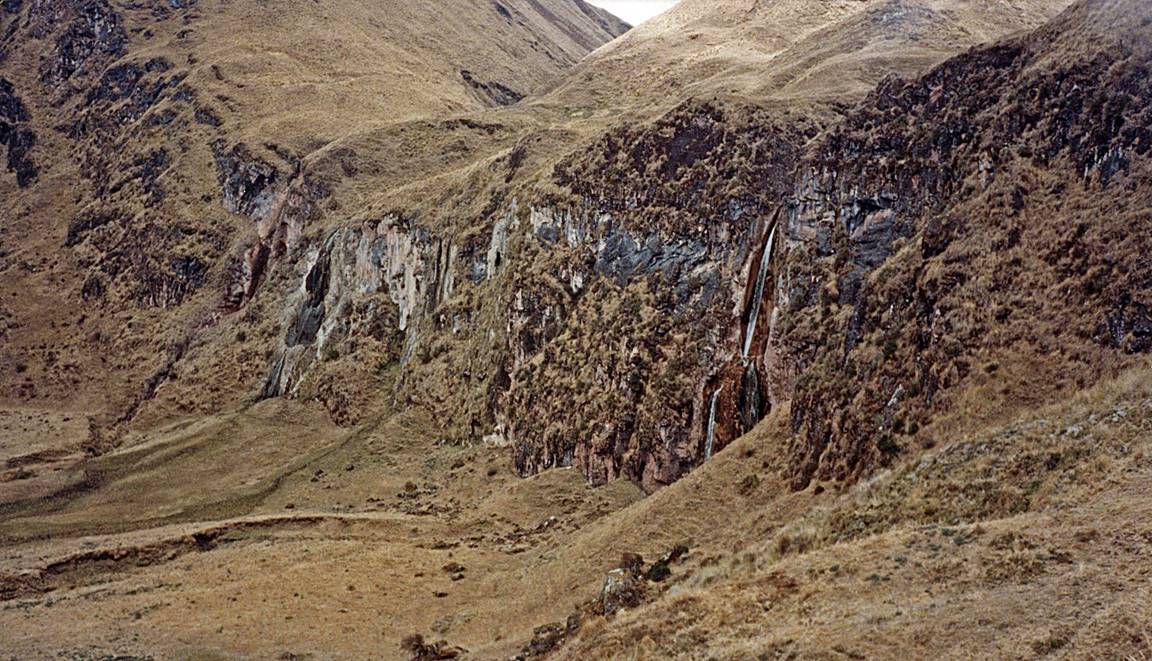
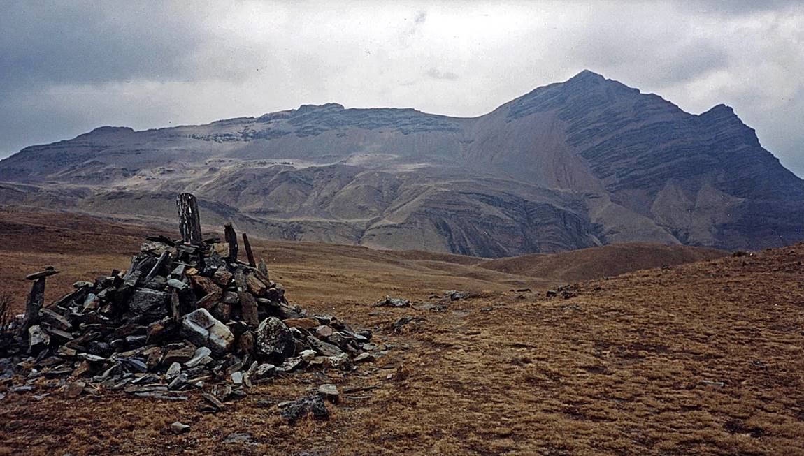
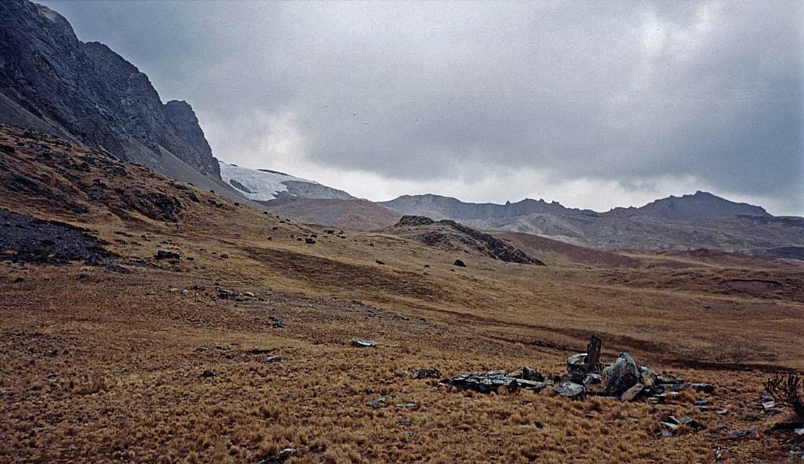
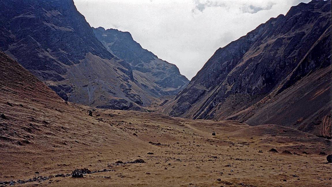
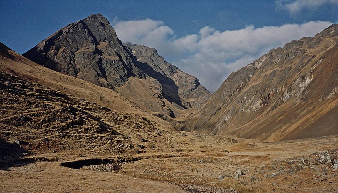
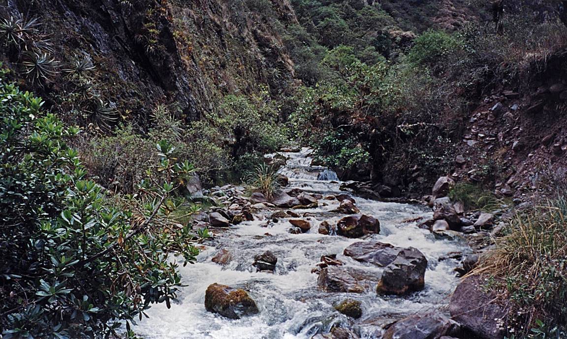
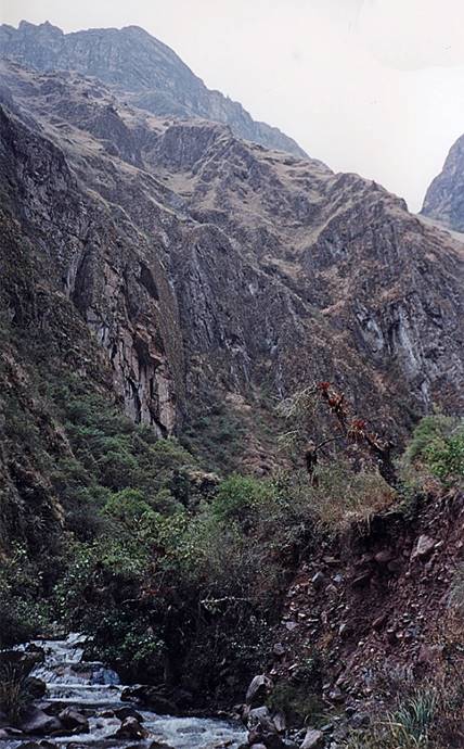
The photos below are in chronological order.
|
|
|
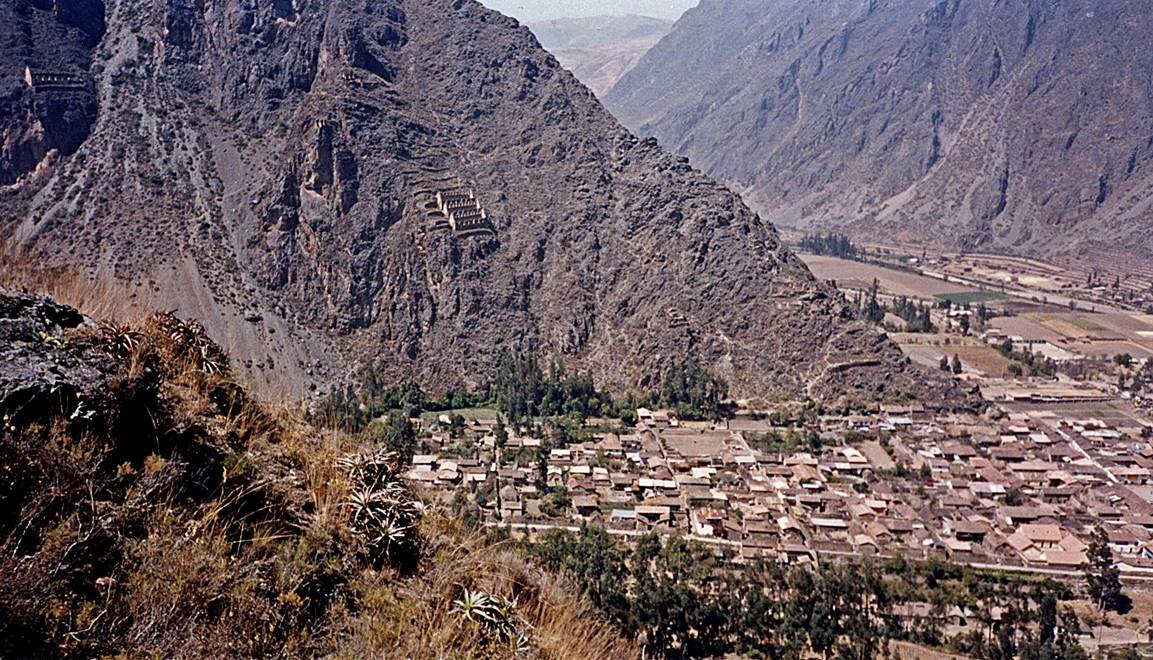
Arriving at Ollantaytambo.
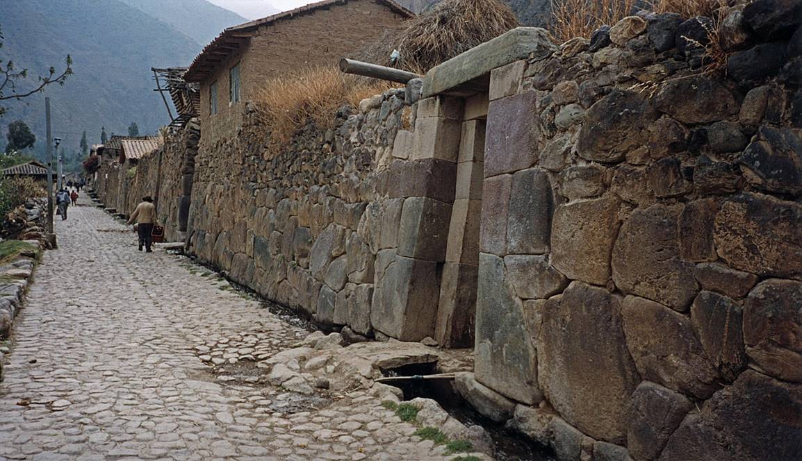
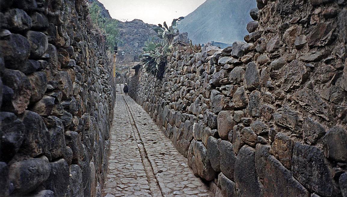
Inca streets of Ollantaytambo.
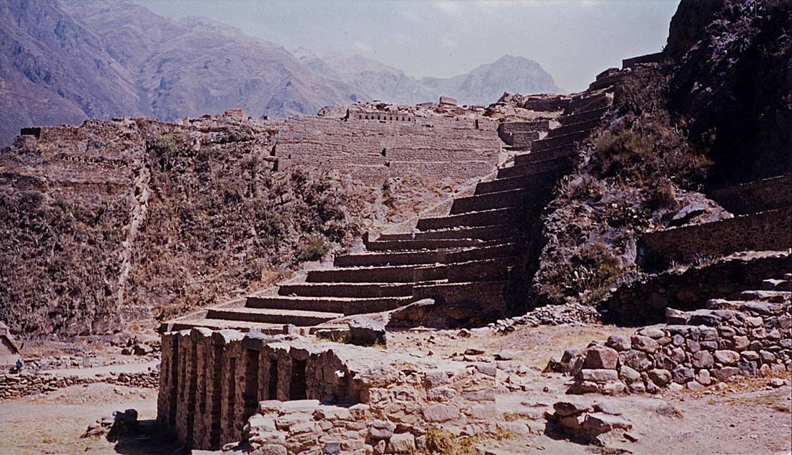
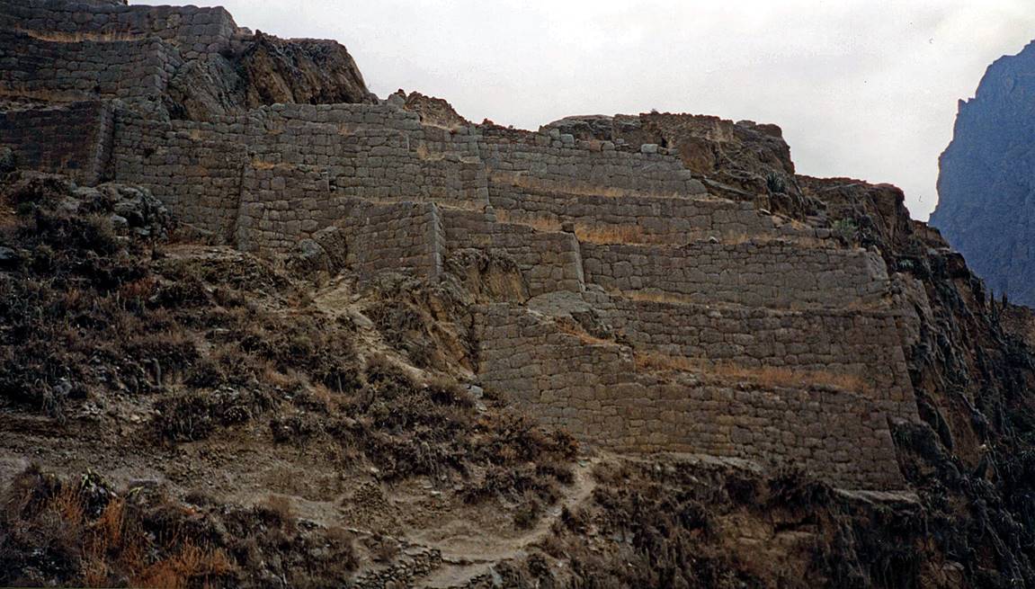
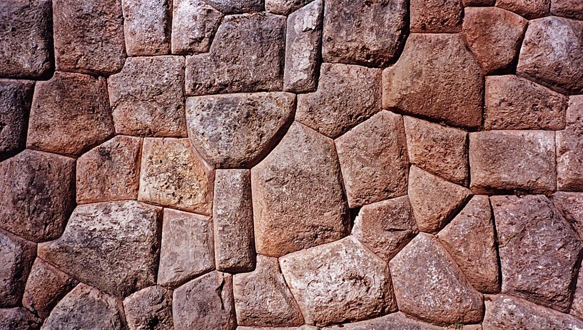
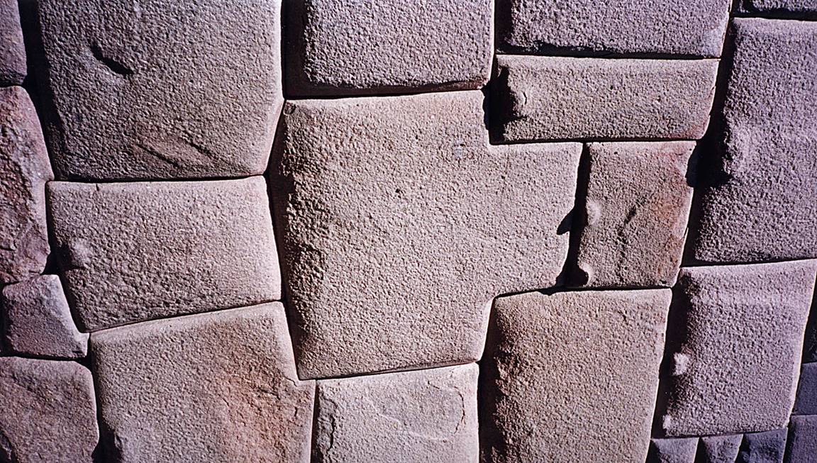
Inca fortress in Ollantaytambo.
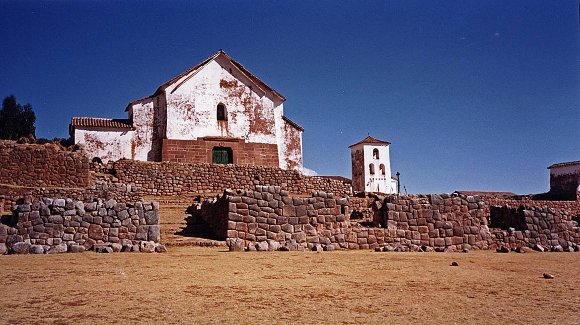
Chinchero church and Inca wall (along the road
between Ollantaytambo and Cusco).
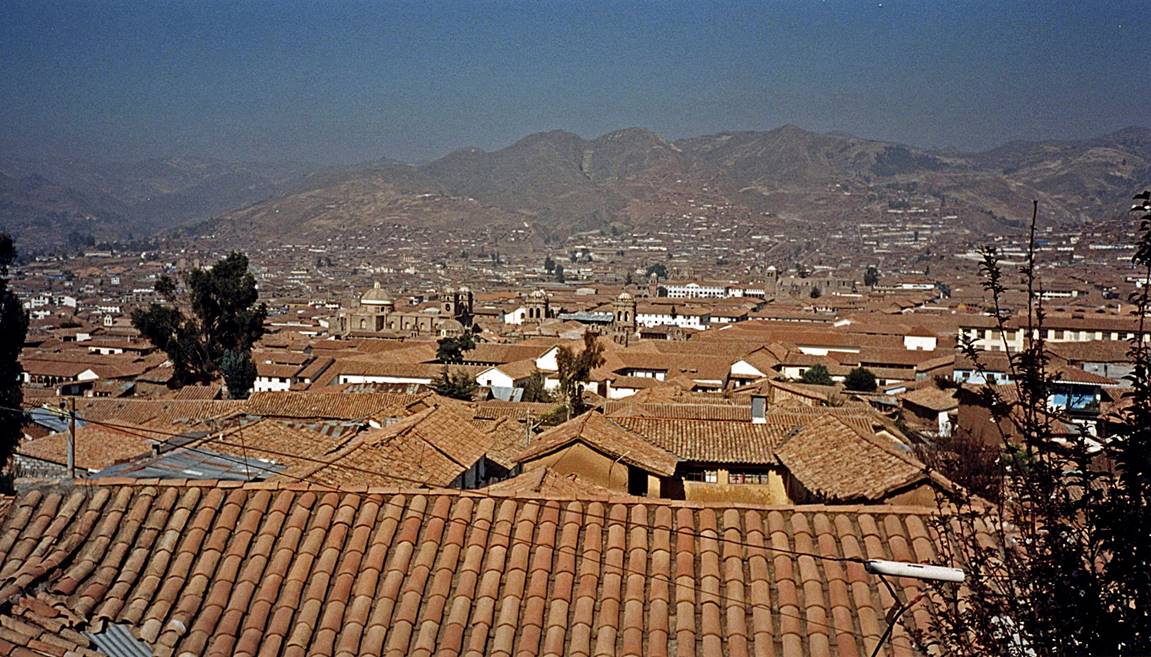
Cusco:
- View over the roofs of the colonial part
of the city.
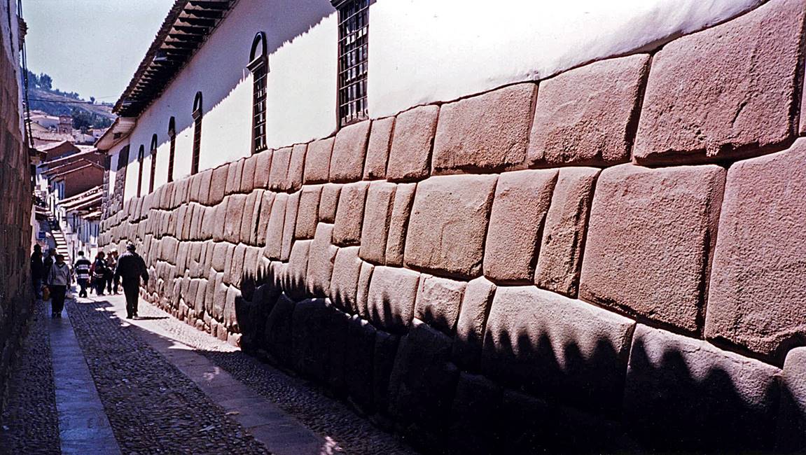
- Hatunrumiyoc Street.
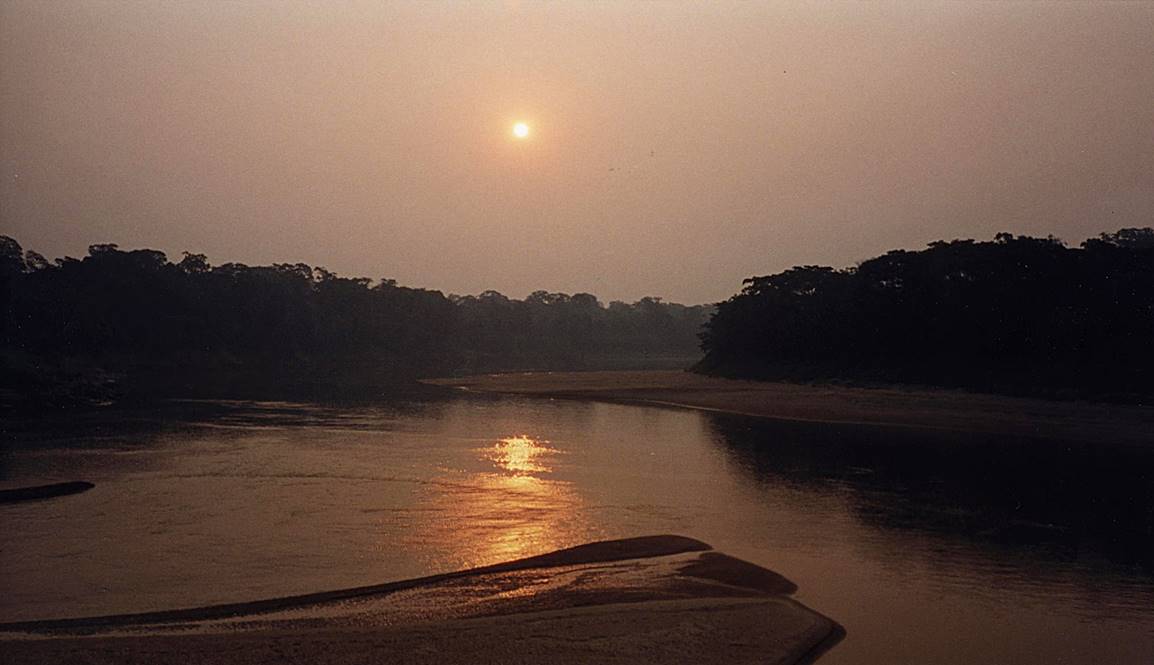
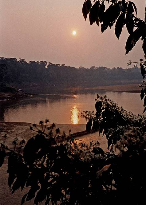
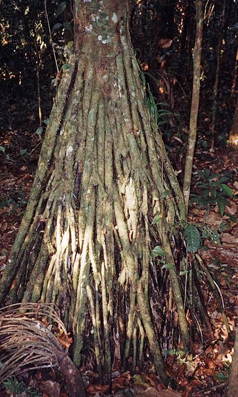
Short excursion along the Rio Madre de Dios, east of Maldonado:
- Rio Madre de Dios at sunset.
|
|
|
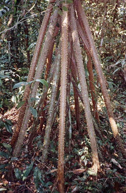
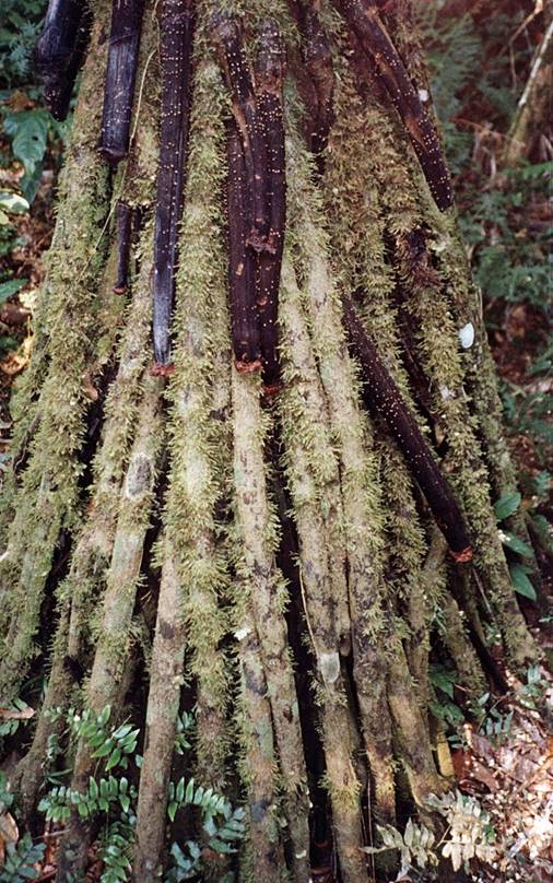
- Walking trees.
|
|
|
|
![]()