Ascent of Mt. Binaiya (Seram Island, Indonesia) - November 2010
![]()
Return to my
mountaineering/trekking/travel webpage
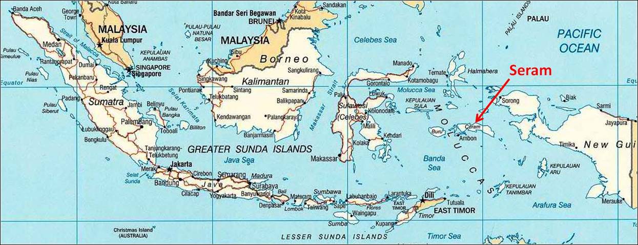
Seram is a big island (17,000
sq.km; 6,600 sq.miles) located in eastern Indonesia
(Maluku Province), near New Guinea. It is mountainous, sparsely populated, and
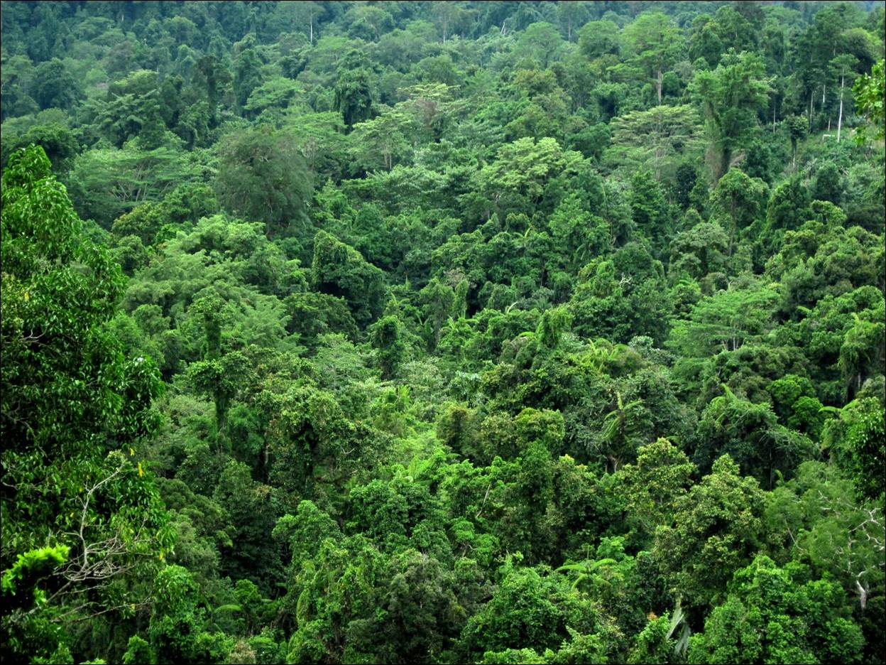
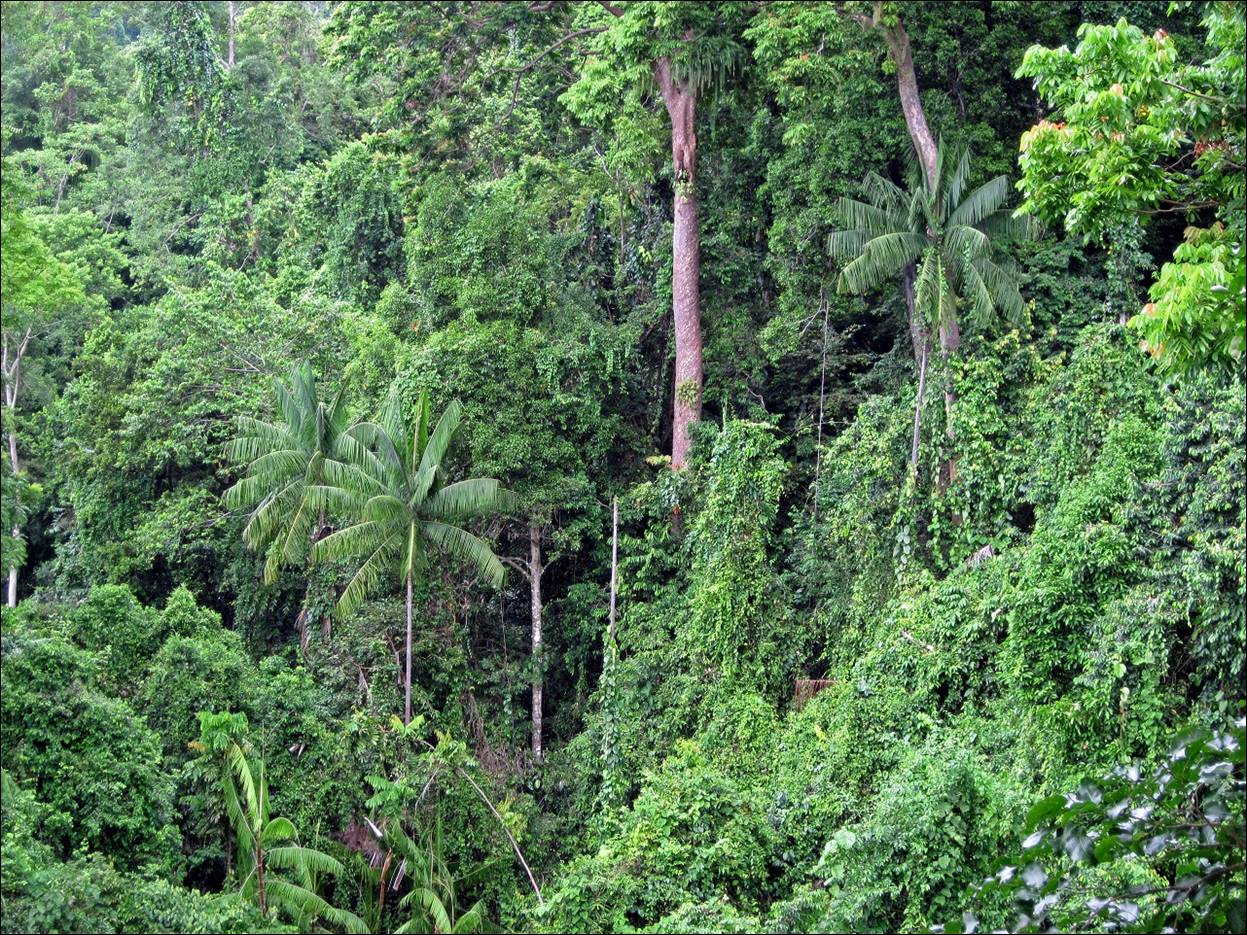
almost completely covered with dense forests. It is best known for its large
number of endemic bird species. Its indigenous inhabitants are also locally
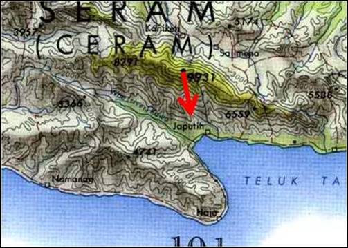
famous for their magic. The goal of my trip was to climb Mt. Binaiya (3,019 m; 9,905 ft),
the highest point in the island, from the north coast. I did this trip during
the second half of November 2010, hence during the rainy season. I had
initially planned to complete the traverse of the island to the south coast.
But information obtained locally suggested that, due to heavy rains, this would
have required crossing fast flowing rivers on the south side of Mt. Binaiya. So, instead, we returned from Mt. Binaiya by the same path as we came in.
The logistics for this
trip (transportation, permits, food) was very well arranged by Joan Korompis, from Indonesia
Trekking. Joan also joined the trip and acted as team leader to hire and
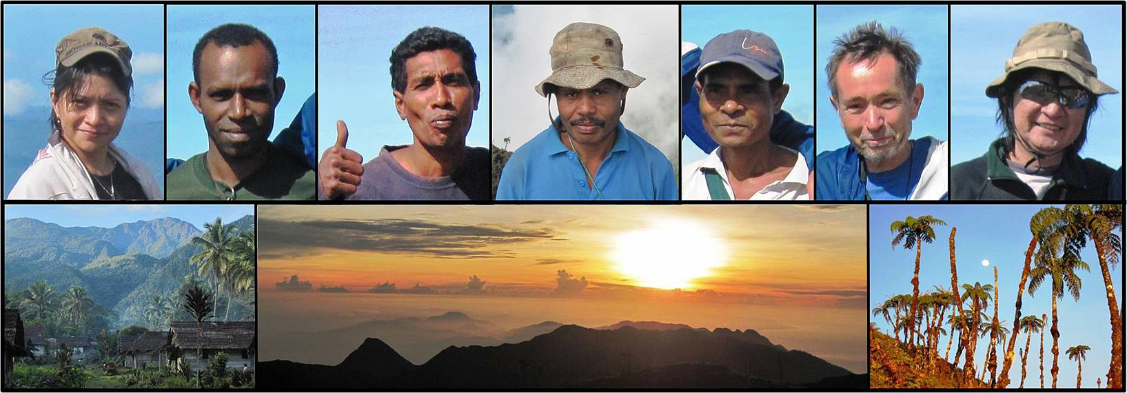
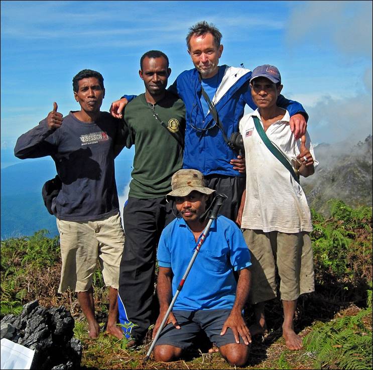
organize porters. Overall, the party consisted of (see photos at the top of this
page, from left to right): Joan, Demis (a ranger from
Manusela National Park, originally from western
Papua), Jemmy (a porter from Masihulan,
near Sawai on the north coast), Elie
(a porter from Huahulu village), Frans
(a porter from Kanikeh village), myself, and ″Mister
Leo″ (Leonardo Padeatu, the owner of Indonesia
Trekking, who had decided to join the trip). Only Frans
had been to Mt. Binaiya before; so, he was our actual
guide to the summit beyond Kanikeh. Joan was the only
member of the Indonesian team who spoke English.
Our trek started from the
paved road along the northern coast (see map below). We successively traversed Huahulu village (just a few kilometers away from the road),
Roho village (a 3-hour hike from Huahulu),
and Kanikeh village (about 7 hours from Roho), before reaching Mt. Binaiya
(about 9 hours from Kanikeh). On our way in, we spent
nights in Huahulu, in the forest between Roho and Kanikeh, in Kanikeh (~650m), in the forest below Mt. Binaiya (~2100m), and finally near the summit of Mt. Binaiya (~3000m).
Overall, the trek was
quite hard and strenuous, as we had to hike almost continuously either in muddy
or swampy terrain, or in rivers. The terrain was also often steep and slippery.
It became somewhat easier above 2,200m near Mt. Binaiya:
there, it was even steeper, but not as wet and vegetation was less dense. We
had very heavy rains almost each day.
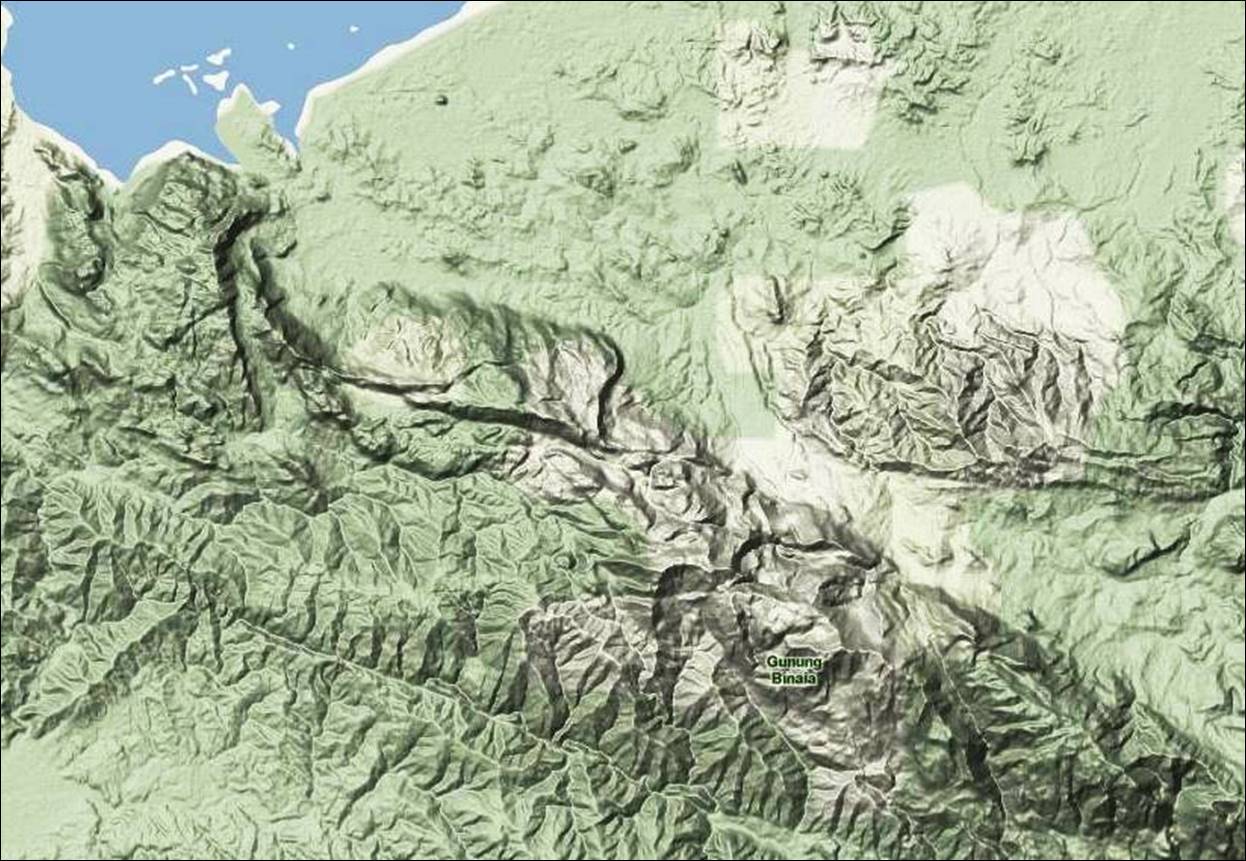
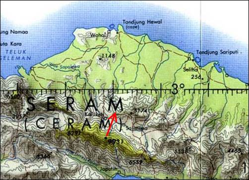
Maps of:
1.
Indonesia.
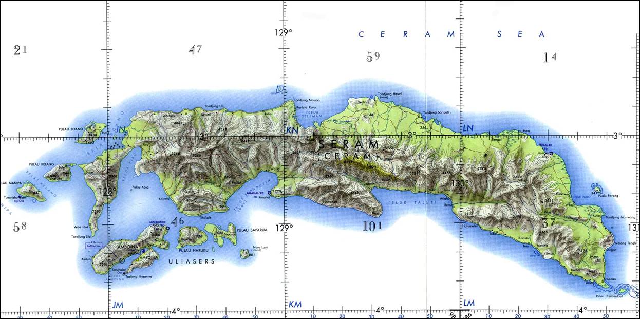
2. Seram.
3.
Trek (very approximate).
4. Terrain.
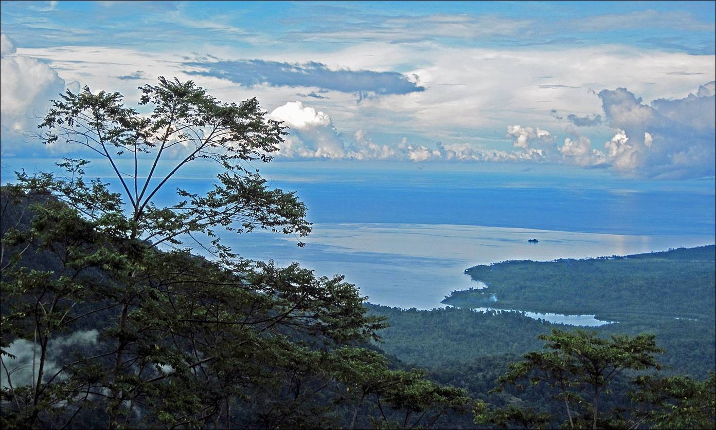
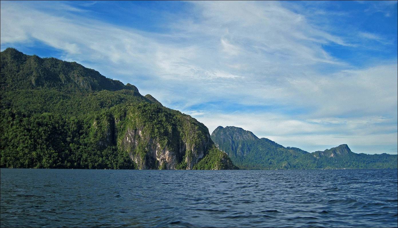
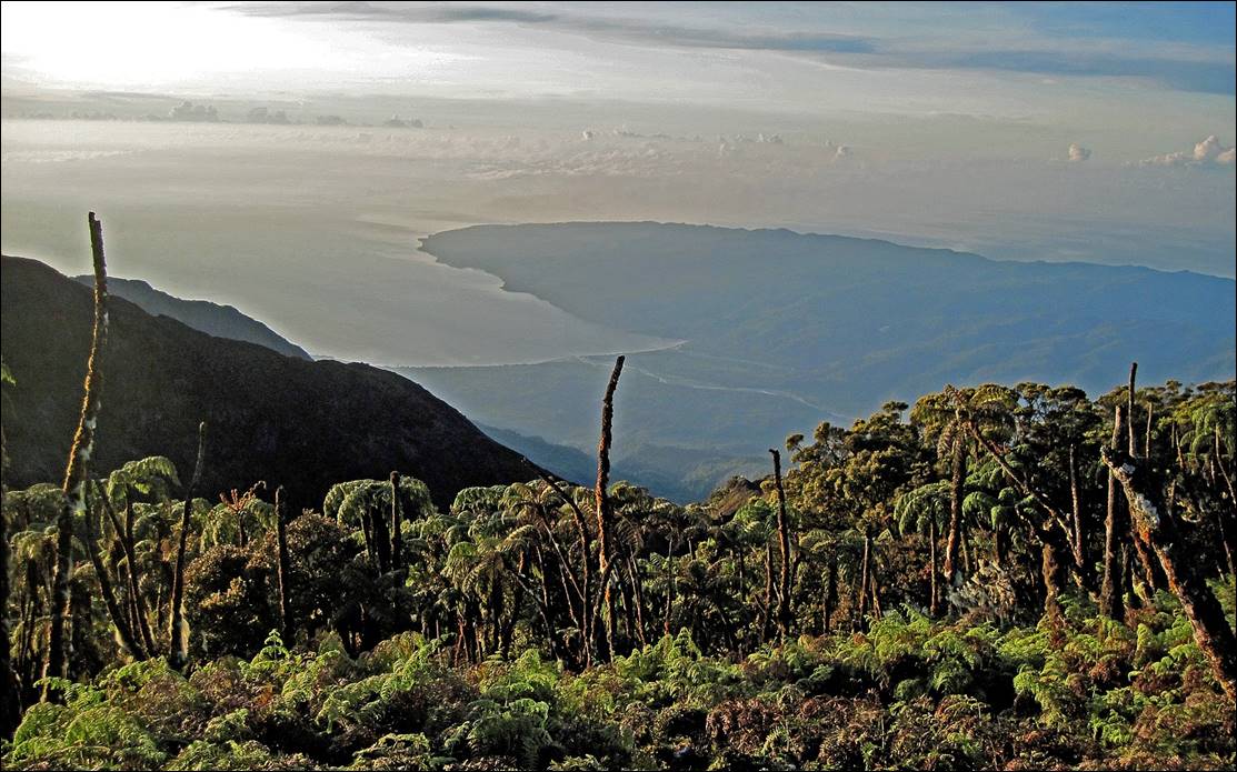
View of Seram‛s north
coast, from the last pass along the road connecting Masohi
(Seram‛s capital, in the South) to Sawai.
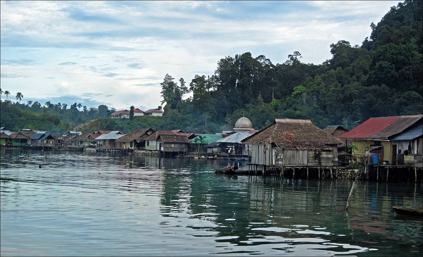
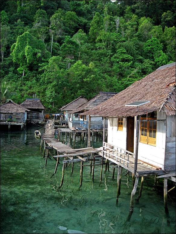
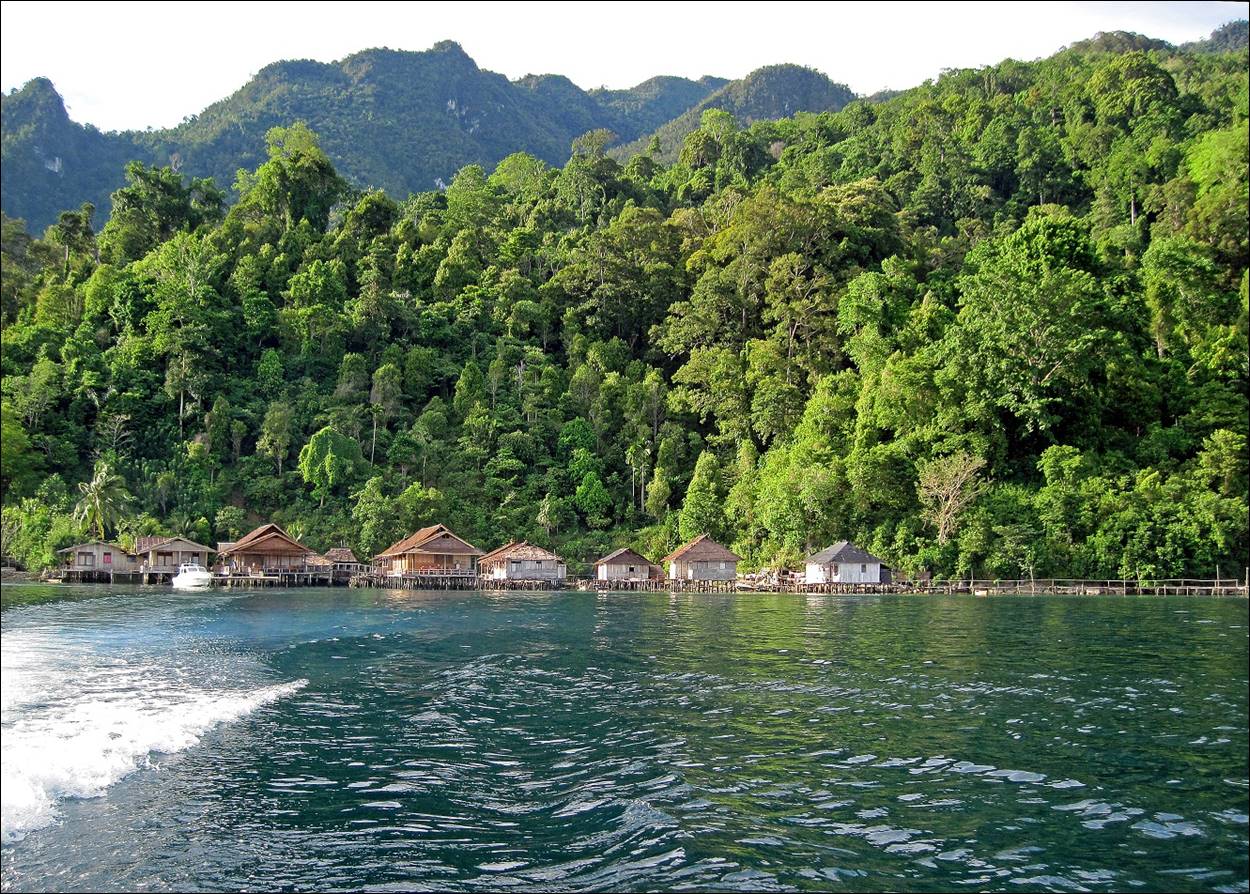
Sawai, a fisherman village
mostly built on pilotis above the sea, where we spent
two nights.
|
|
|
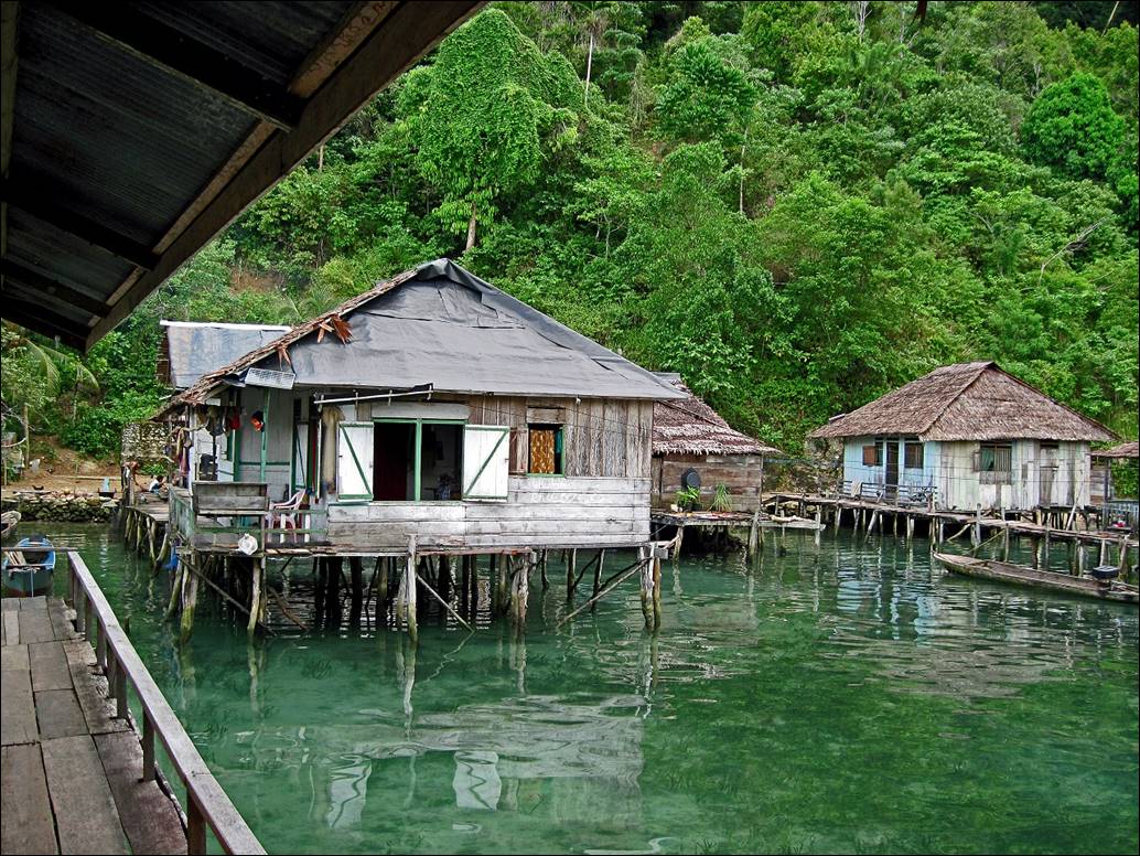
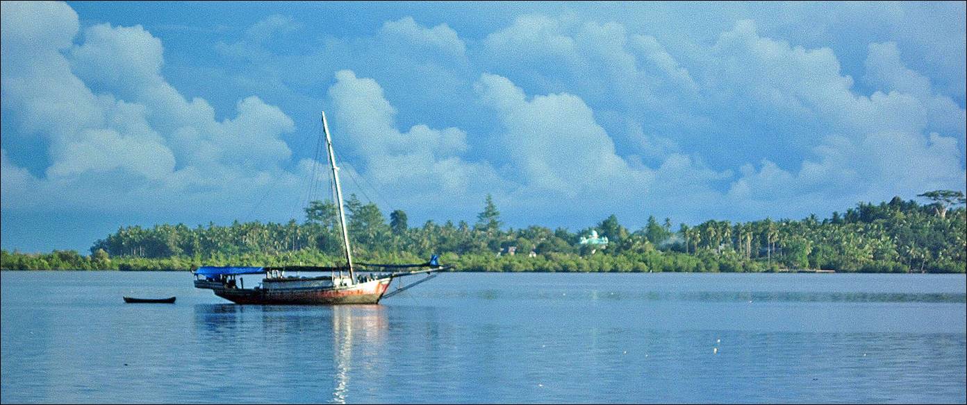
View
of Sawai bay.
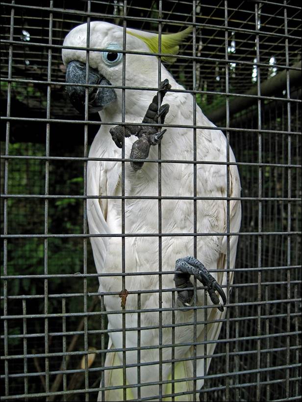
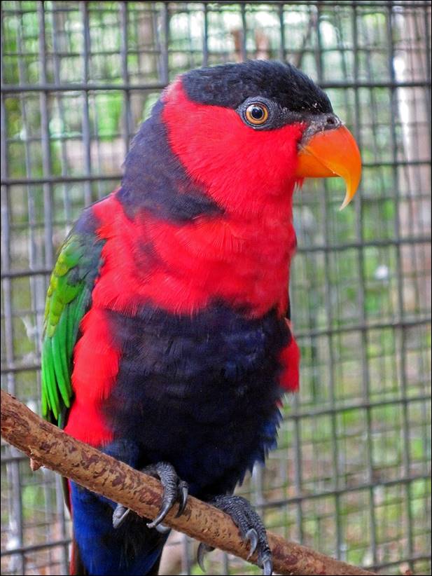
Birds
of Seram in a bird rehabilitation center near Sawai. Although I saw a huge number of beautiful birds
during the trip, I was only able to take photos of birds in captivity.
|
|
|
On
the first day we took a forest acclimatization hike around Sawai.
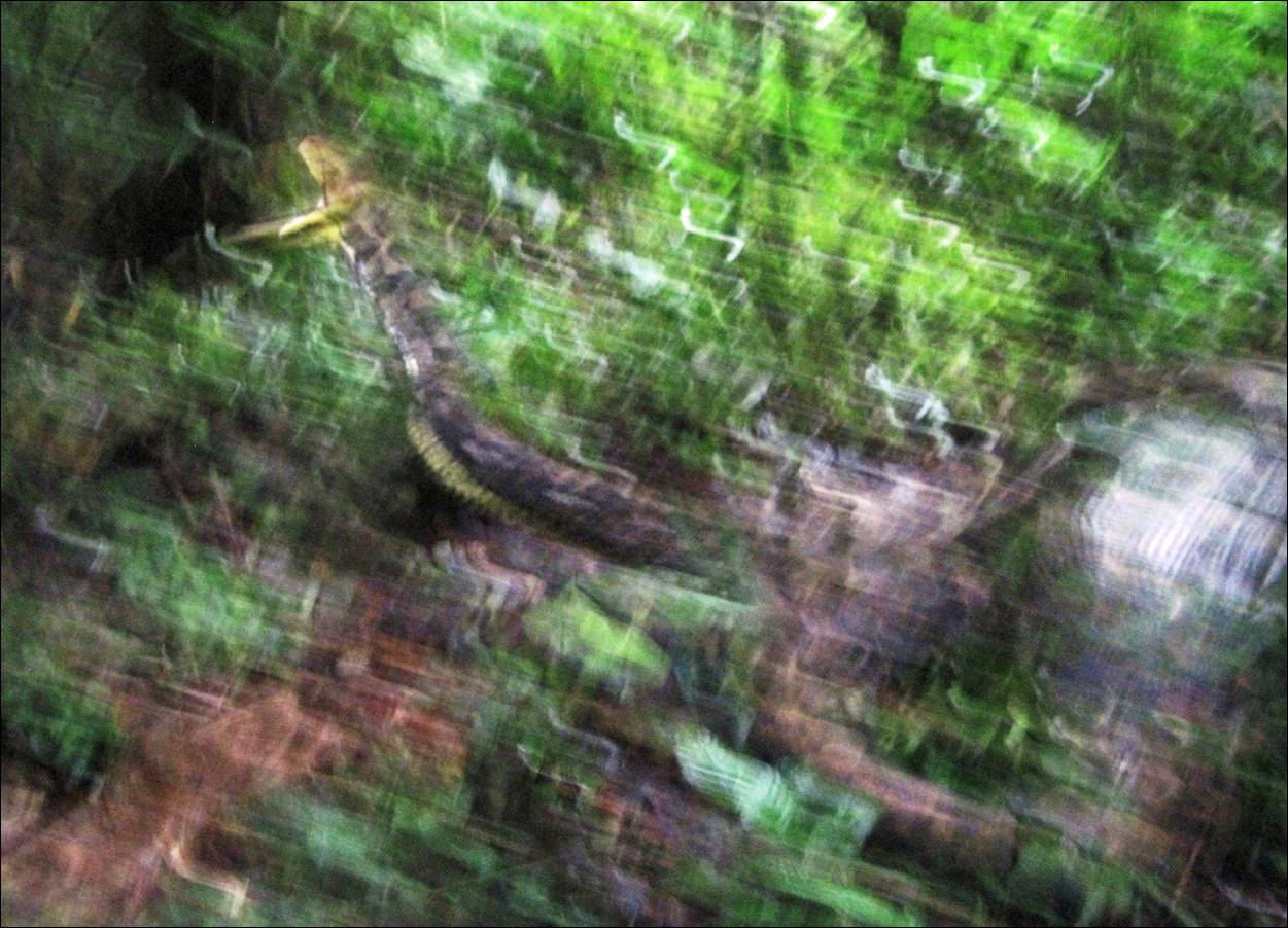
Encounter
with a python that had swallowed a deer. Extremely impressive. It takes about a
month for a python to digest such a big animal.
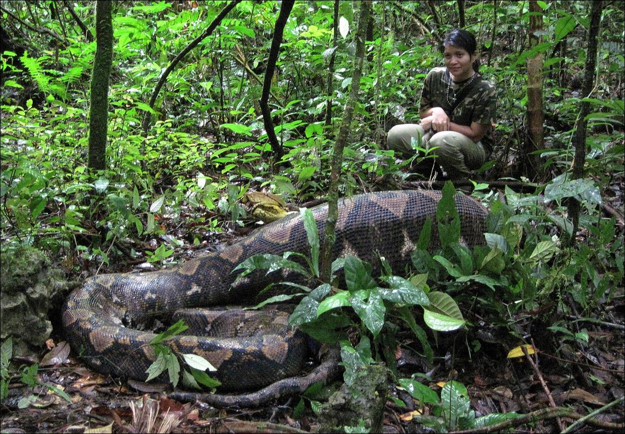
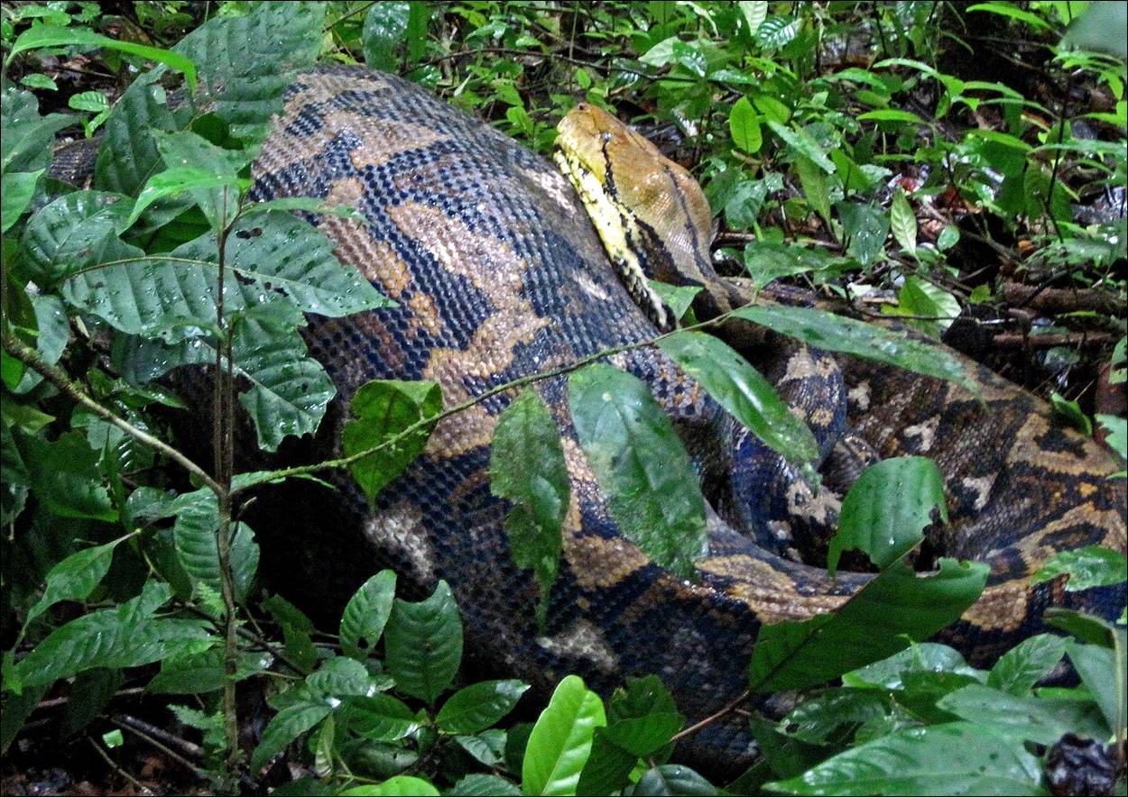
But don′t mess with
a python. Even with a deer in its belly, it can react quickly.
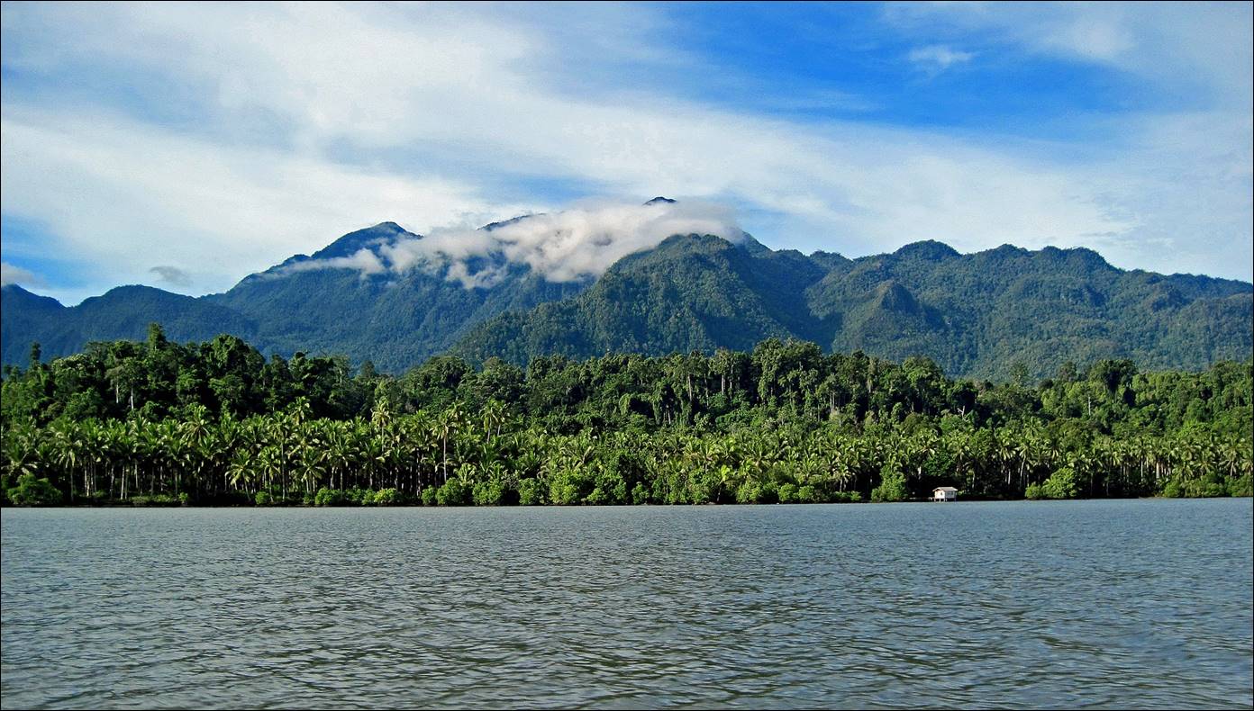
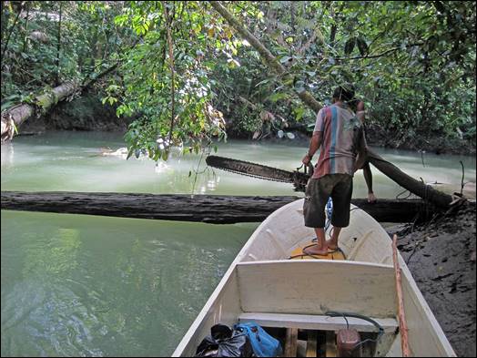
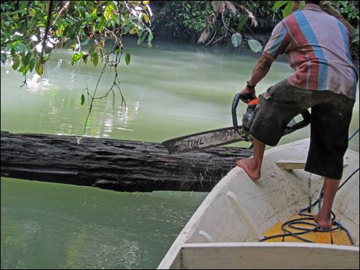
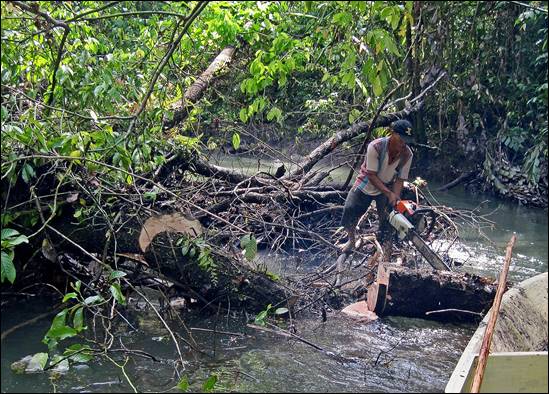
We
left Sawai on a long boat to go to Salawai river. This allowed us to
see Seram from the sea.
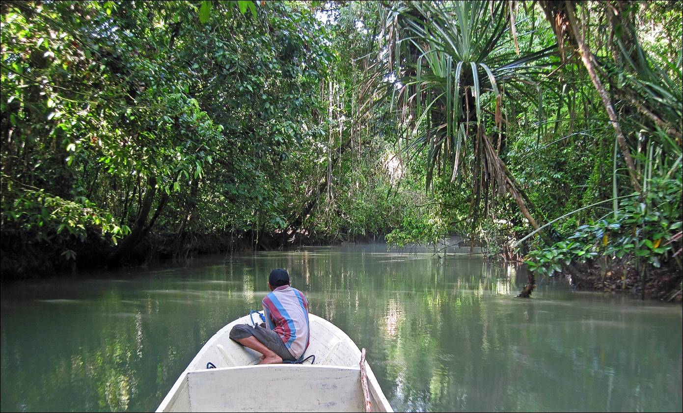
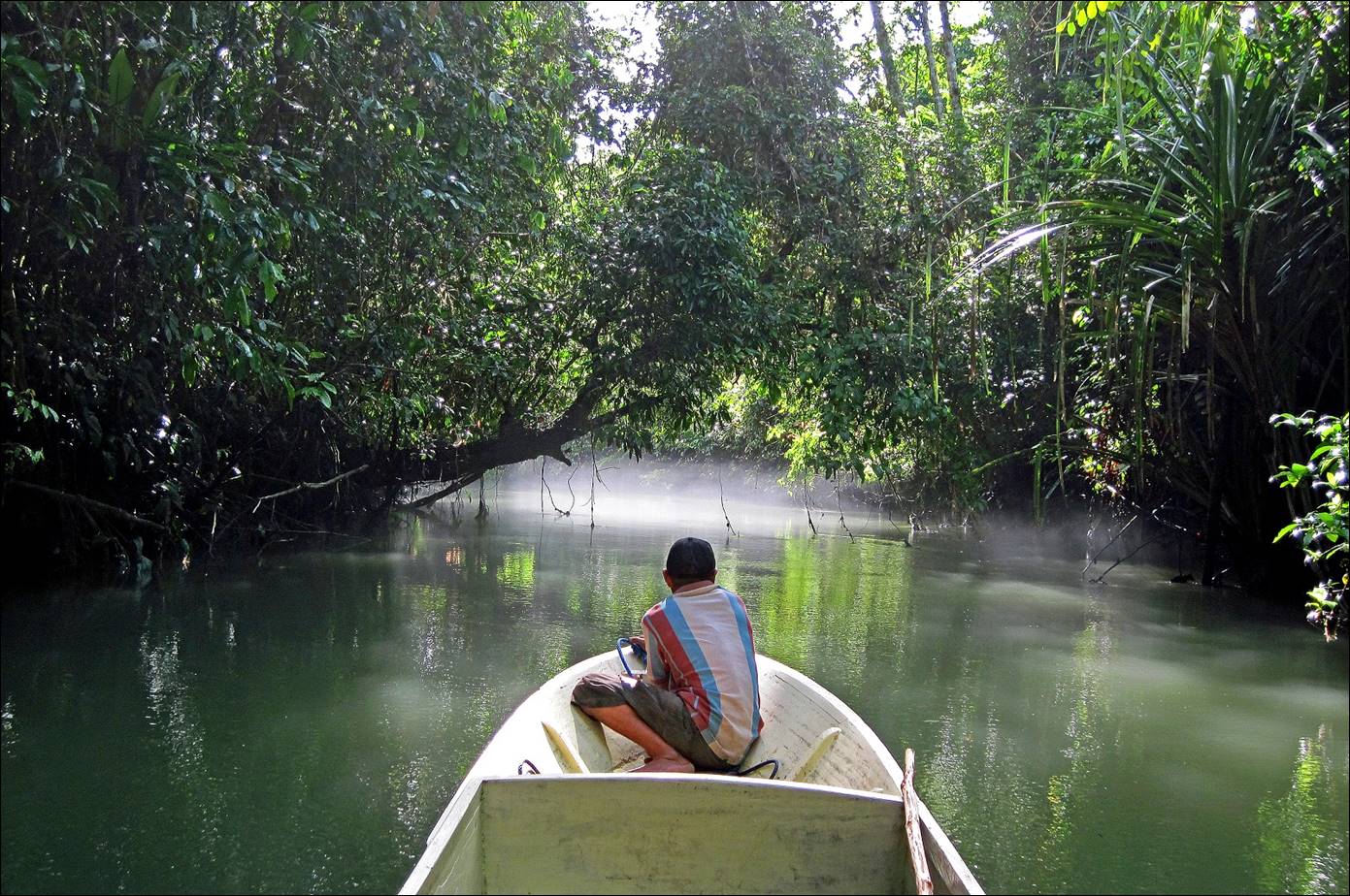
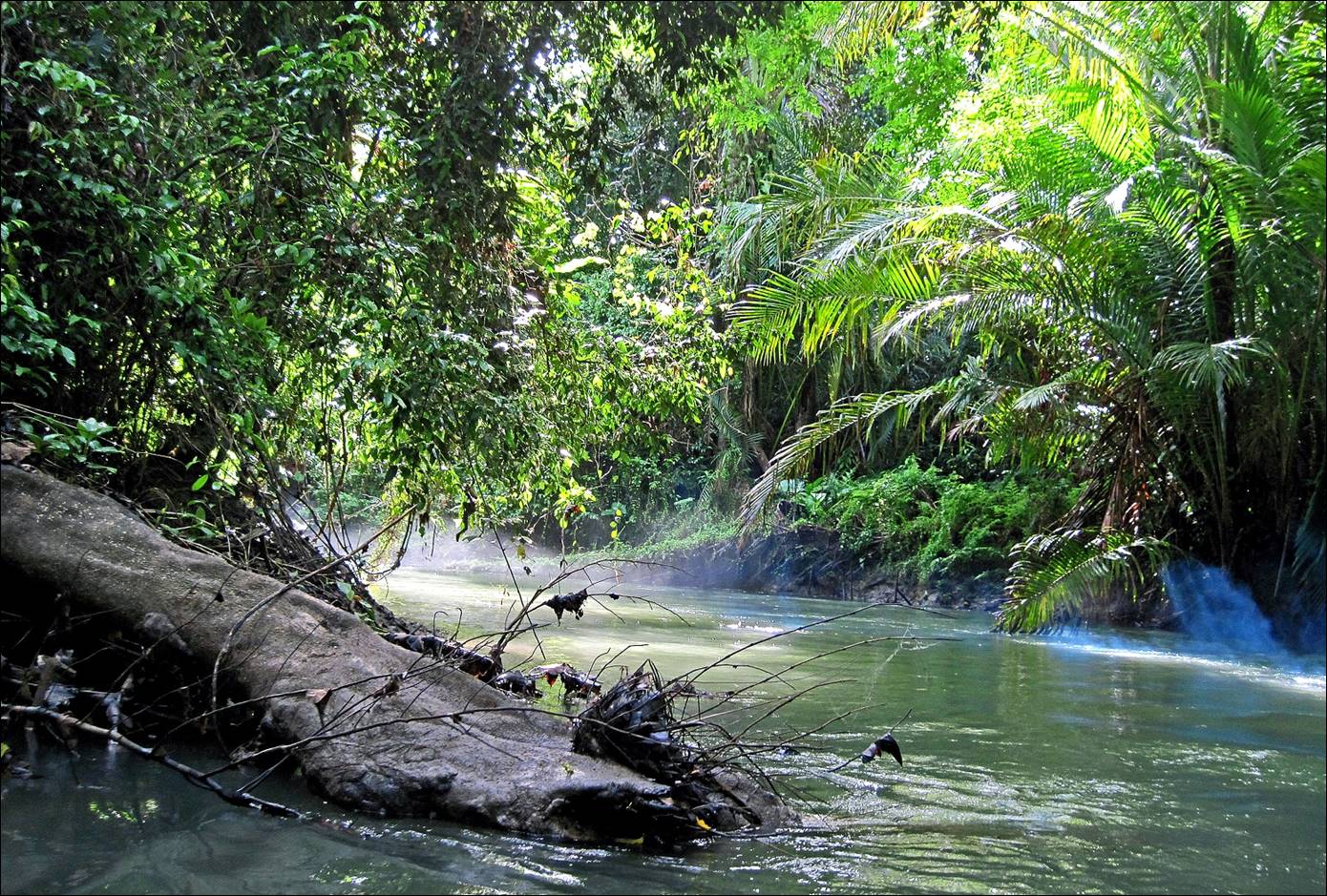
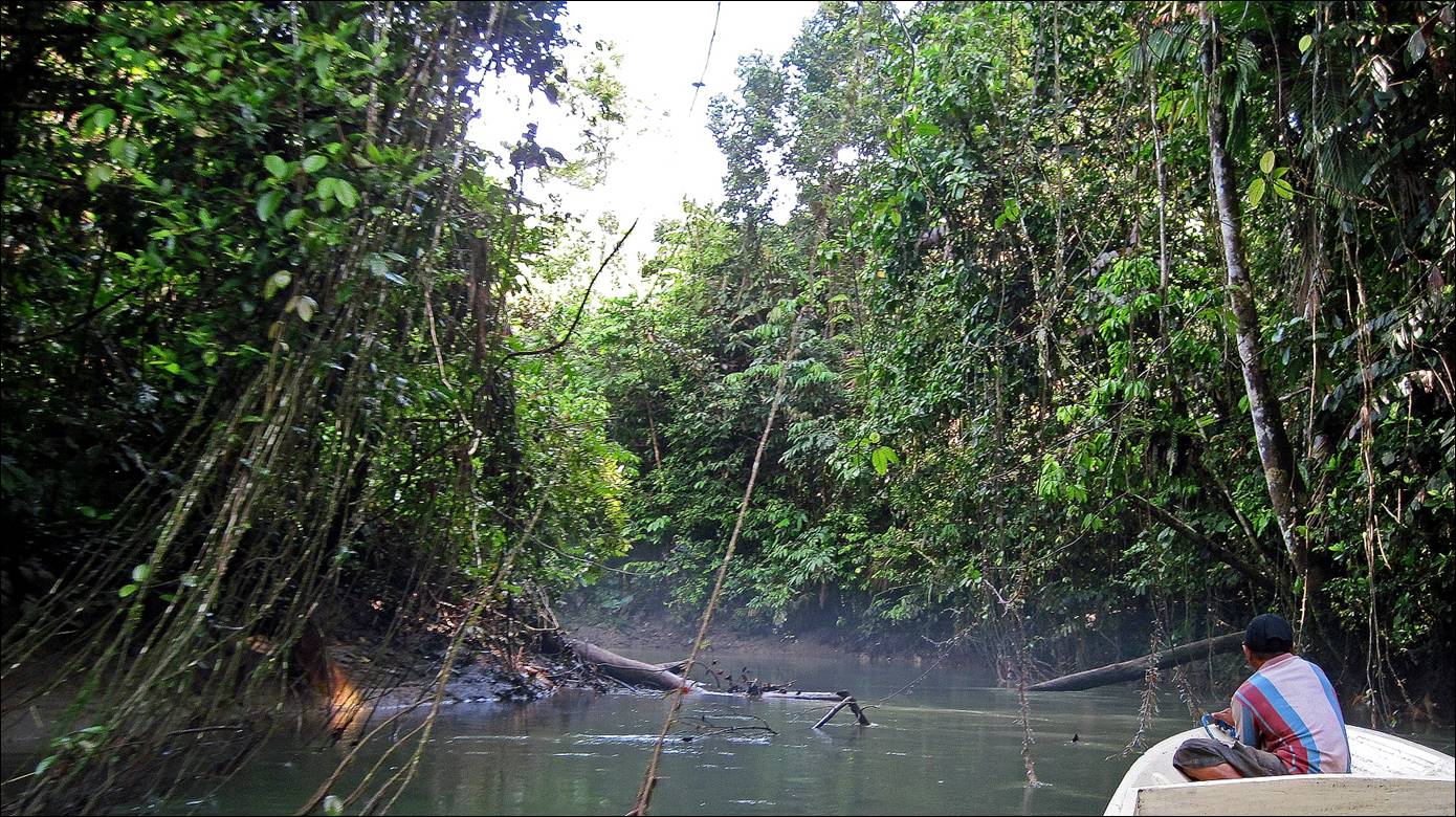
Along
Salawai river. The river hosts a huge number of birds
and a few crocodiles. It is not long, but traverses dense forest. The travel by
boat was not easy, mostly due to low branches and fallen trees. We went as far
as we could and spent the night in the forest. On the next morning we navigated
back to a bridge where the road along northern Seram
crosses the river. A short drive from there brought us to the start of our
trek, not far from the village of Huahulu.
|
|
|
|
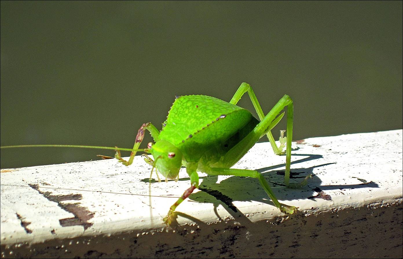
A small visitor on the long boat.
After leaving Salawai river, a short hike led us to Huahulu village, where we spent a night. Like the other two
villages (Roho and Hanikeh)
that we traversed during this trek, Huahulu consists
of two rows of traditional houses separated by a main alley. All houses are
equipped with a small solar panel.
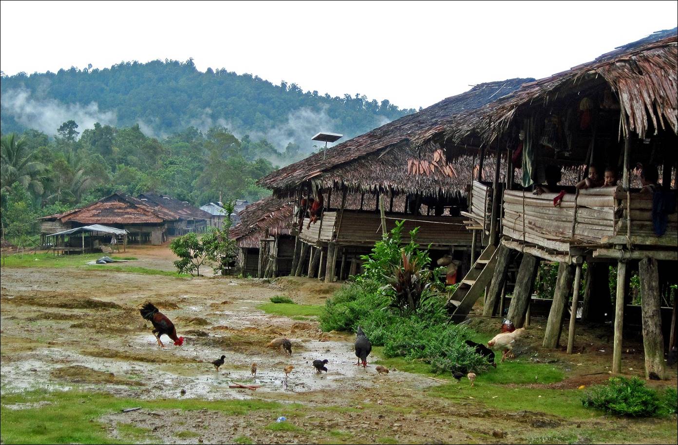
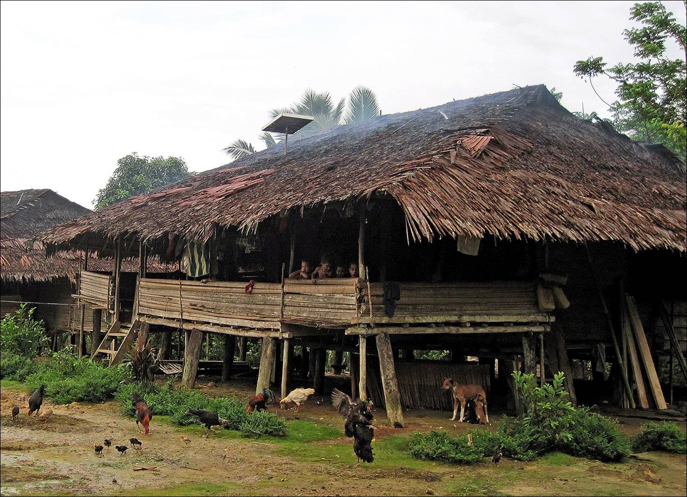
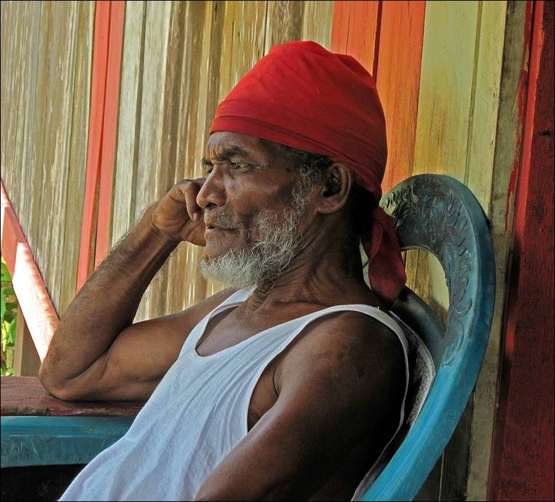
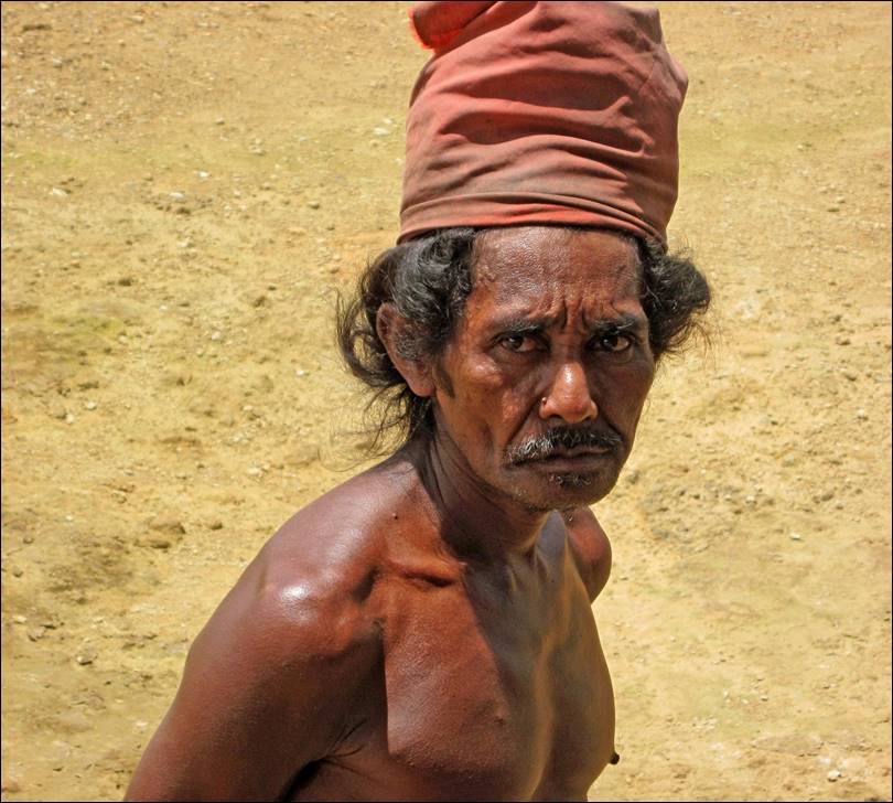
Huahulu is populated by
indigenous Seram people, who still wear a traditional
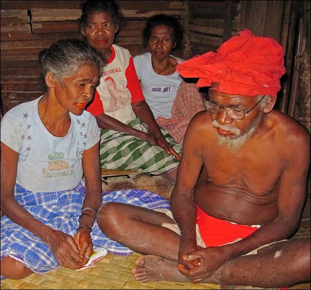
red bandana.
|
|
|
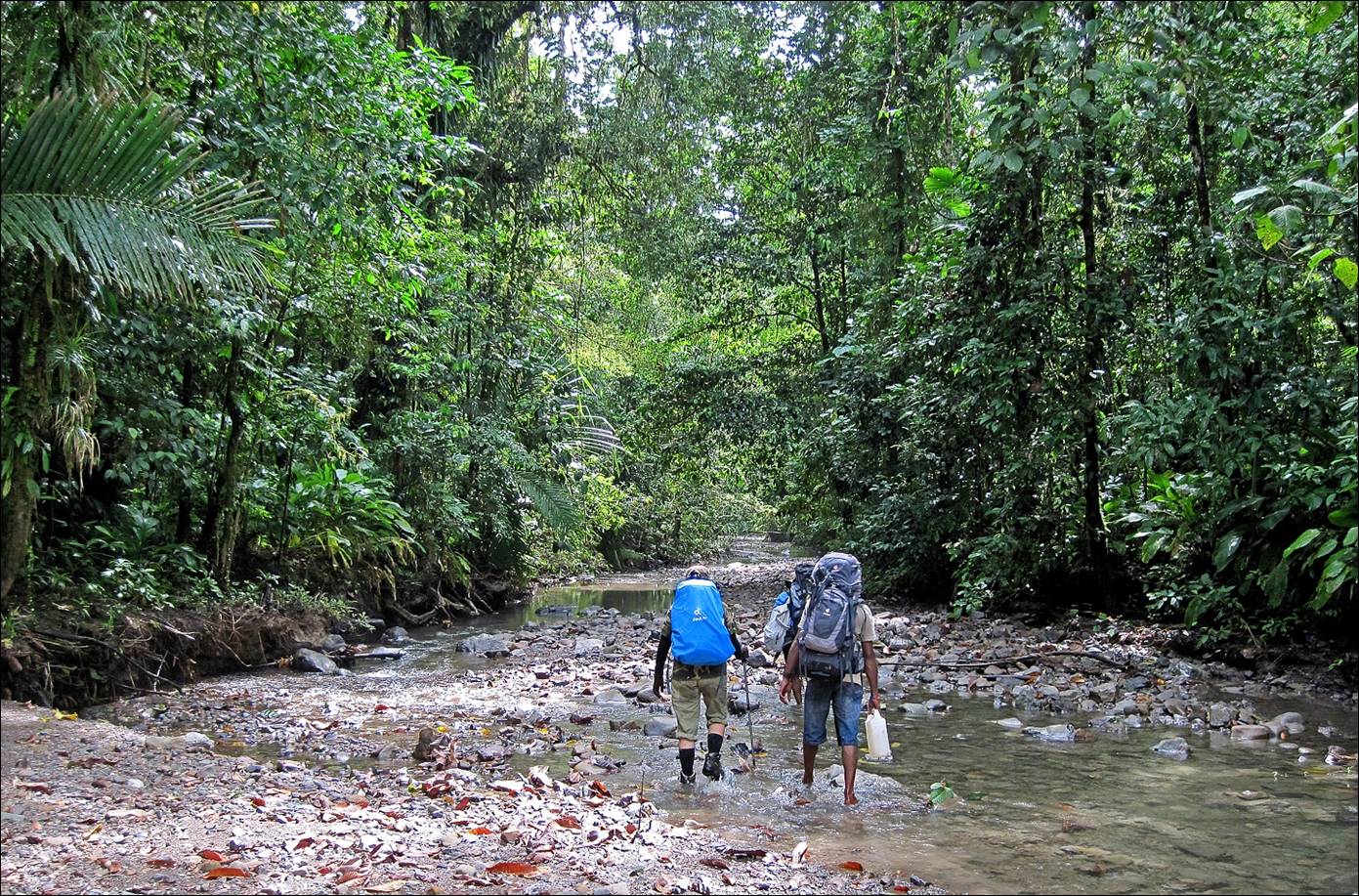
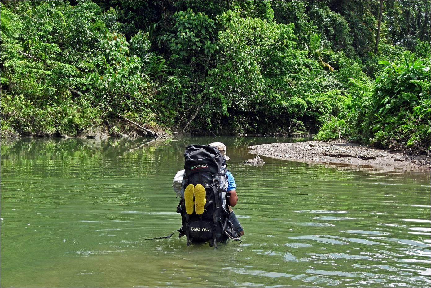
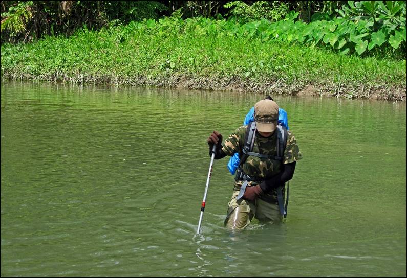
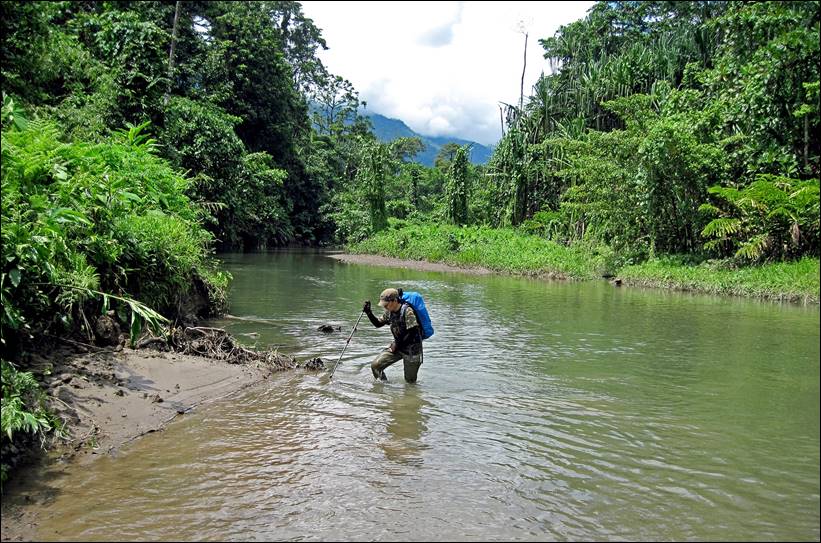
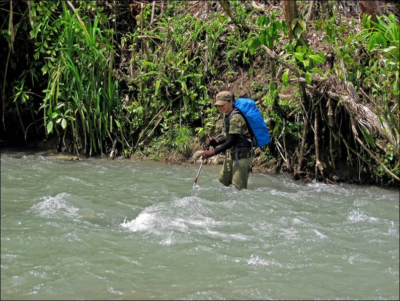
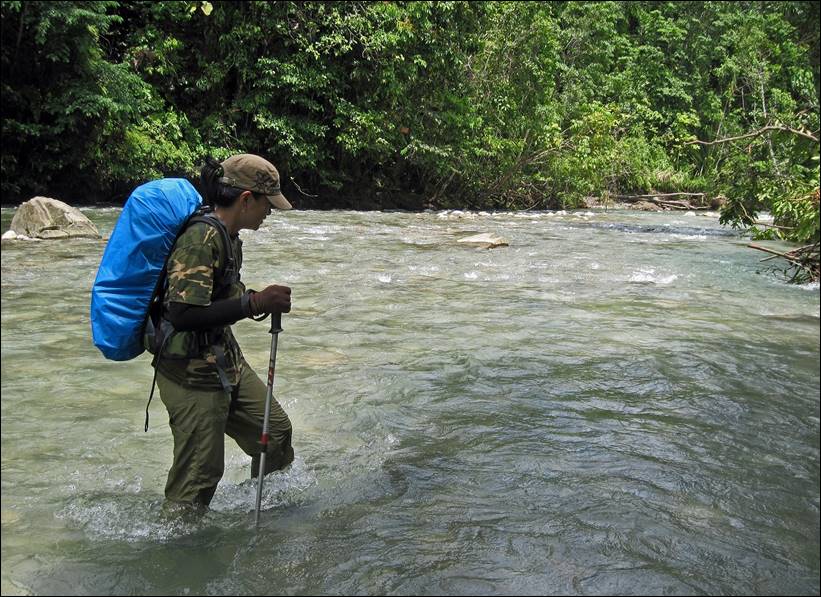
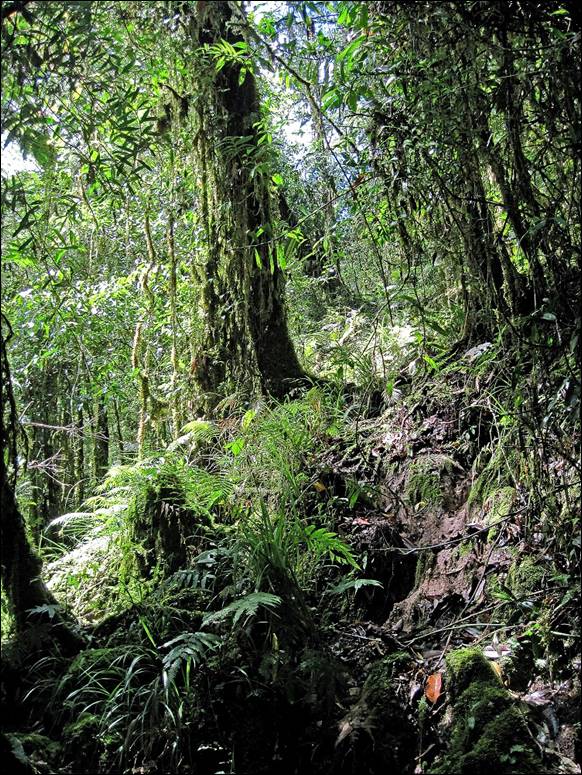
Immediately
after leaving Huahulu the forest was very
dense. Most of the time there were no trails, even faint ones. Then rivers were
natural passageways. Half of the way between Huahulu
and Roho we hiked in rivers,
|
|
|
|
|
|
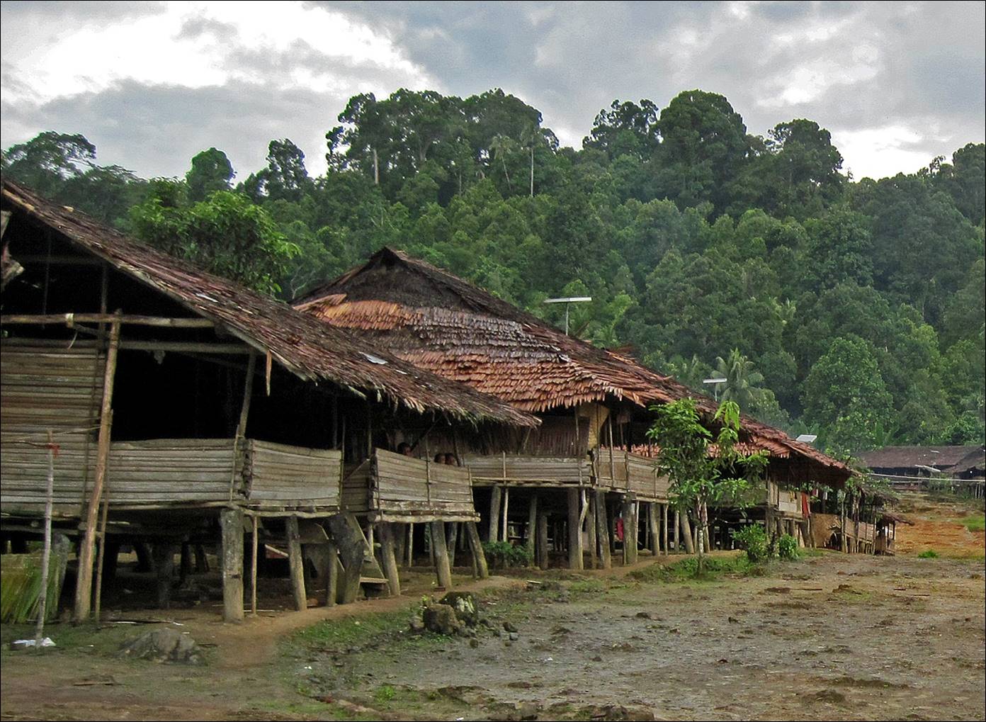
Roho village.
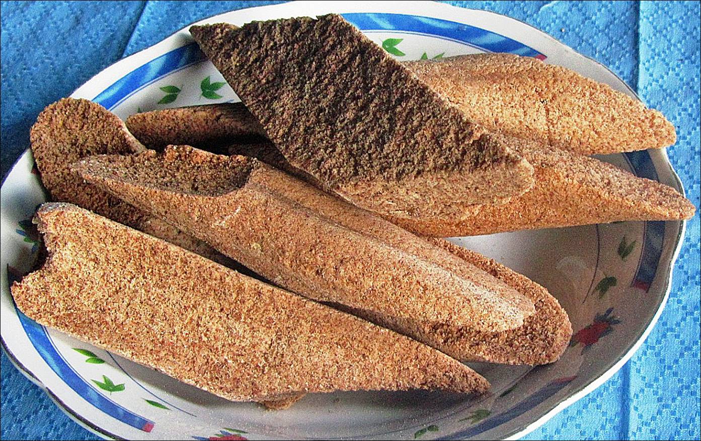
Sago
bread in Roho. It is made by crushing the wood of the
sago palm tree into thin particles. The bread is cooked in bamboo stems.
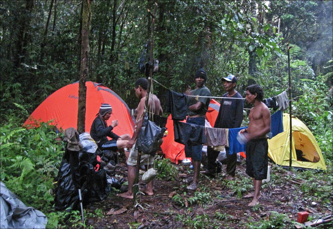
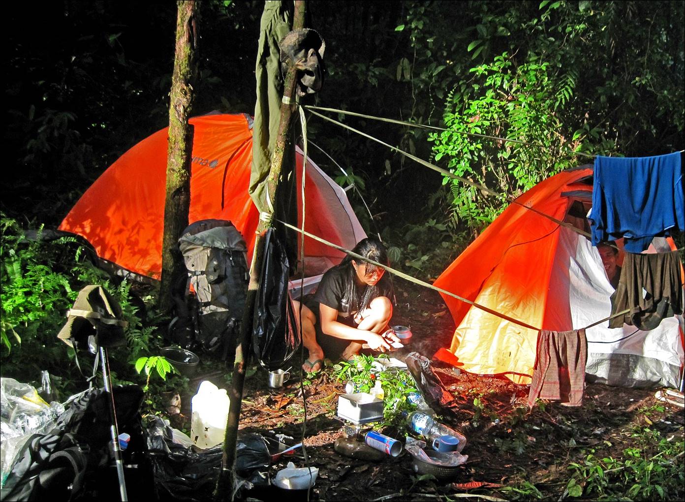
Our
camp in the forest between Roho and Hanikeh. The path between these two villages is long, hard,
and extremely muddy. Whatever gets wet can no longer get dry again. So, it is
critical to keep dry clothes in waterproof plastic bags for the nights. Each
day we were wearing the same wet clothes that we had been wearing on the
previous day.
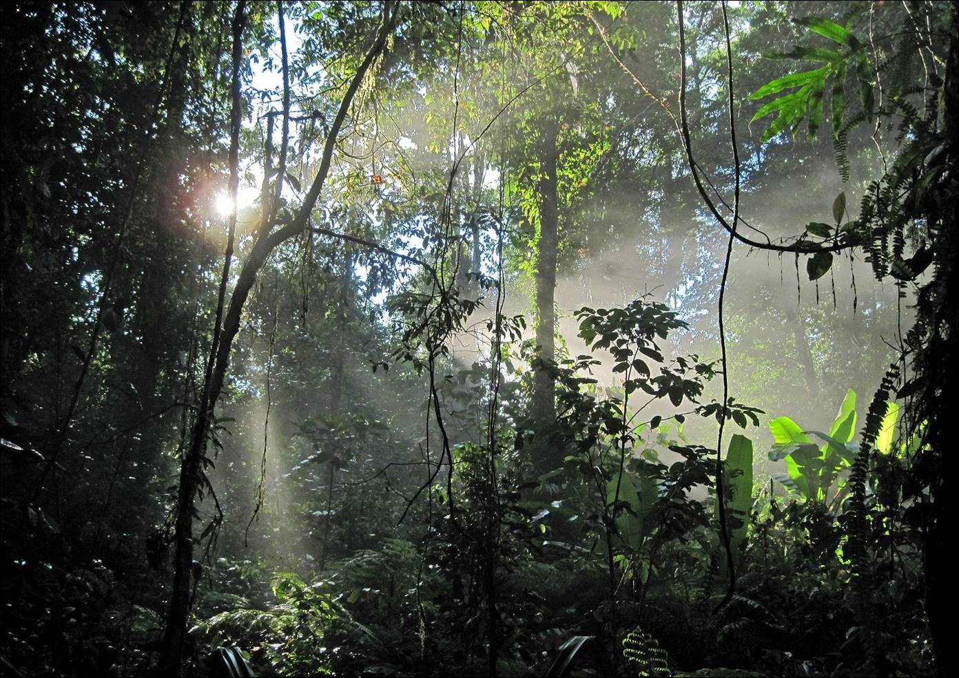
Next
morning, some early sun through the trees at the camp.
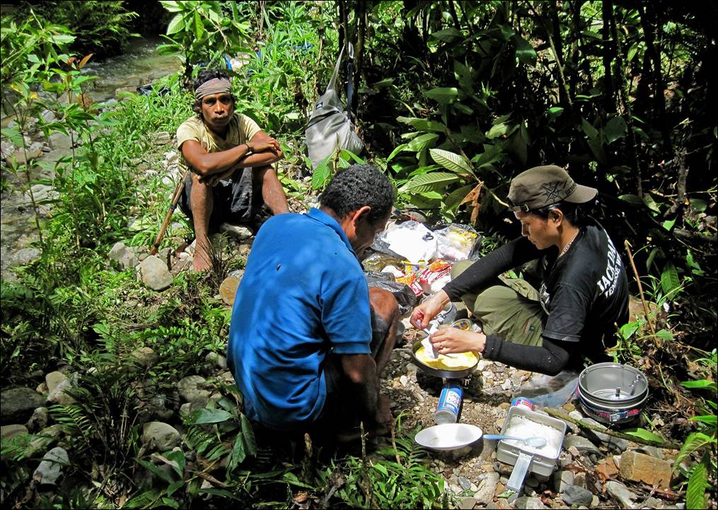
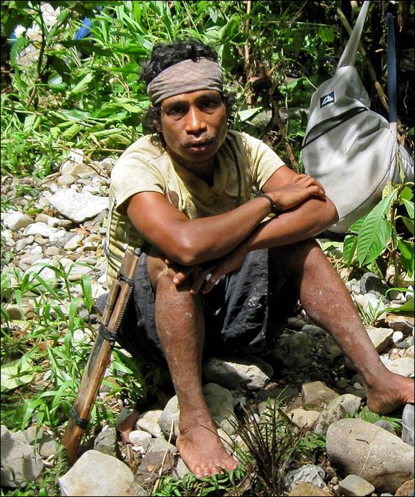
Lunch
stop on our way to Hanikeh with a local man who was
traveling with us.
|
|
|
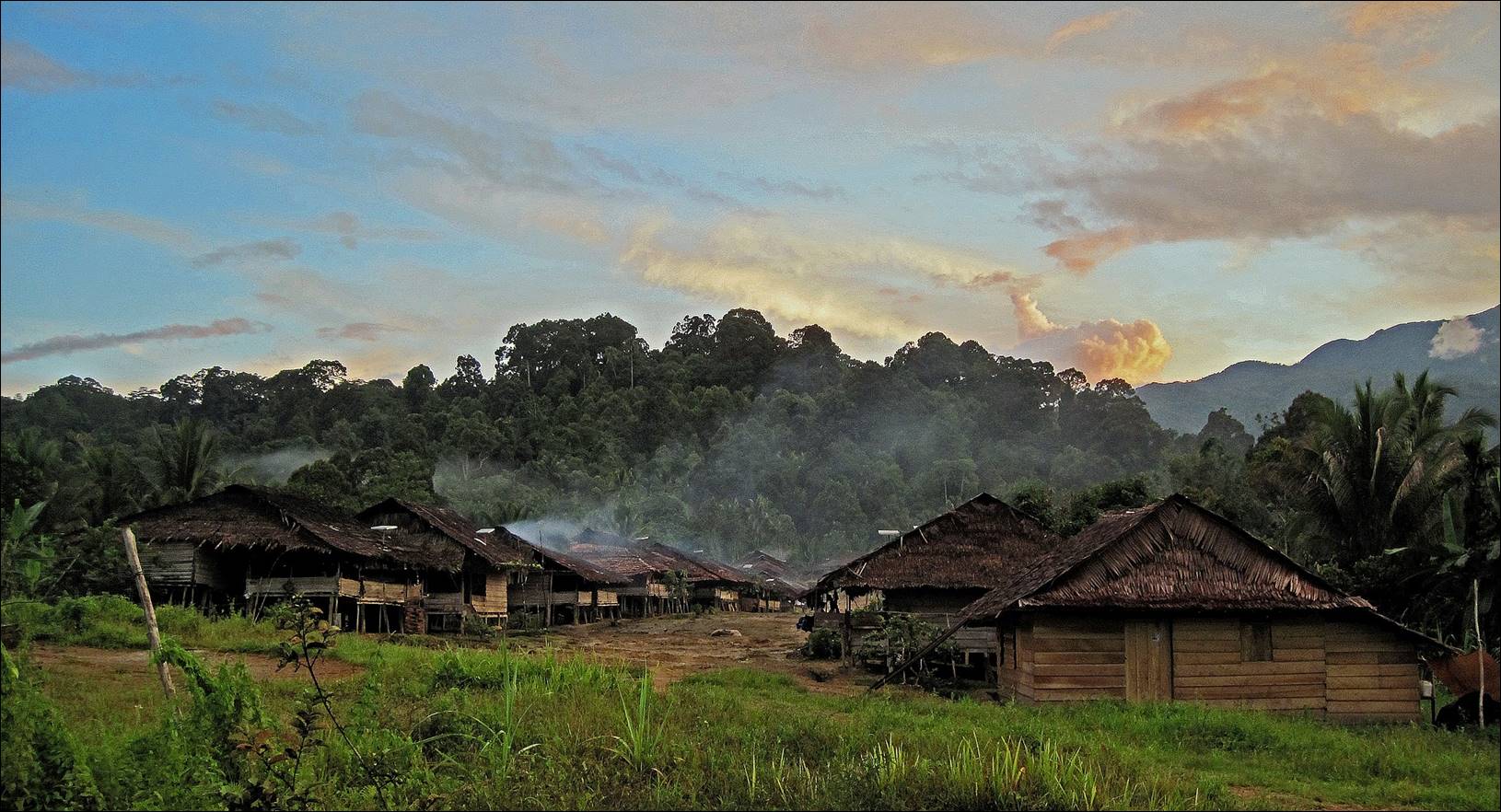
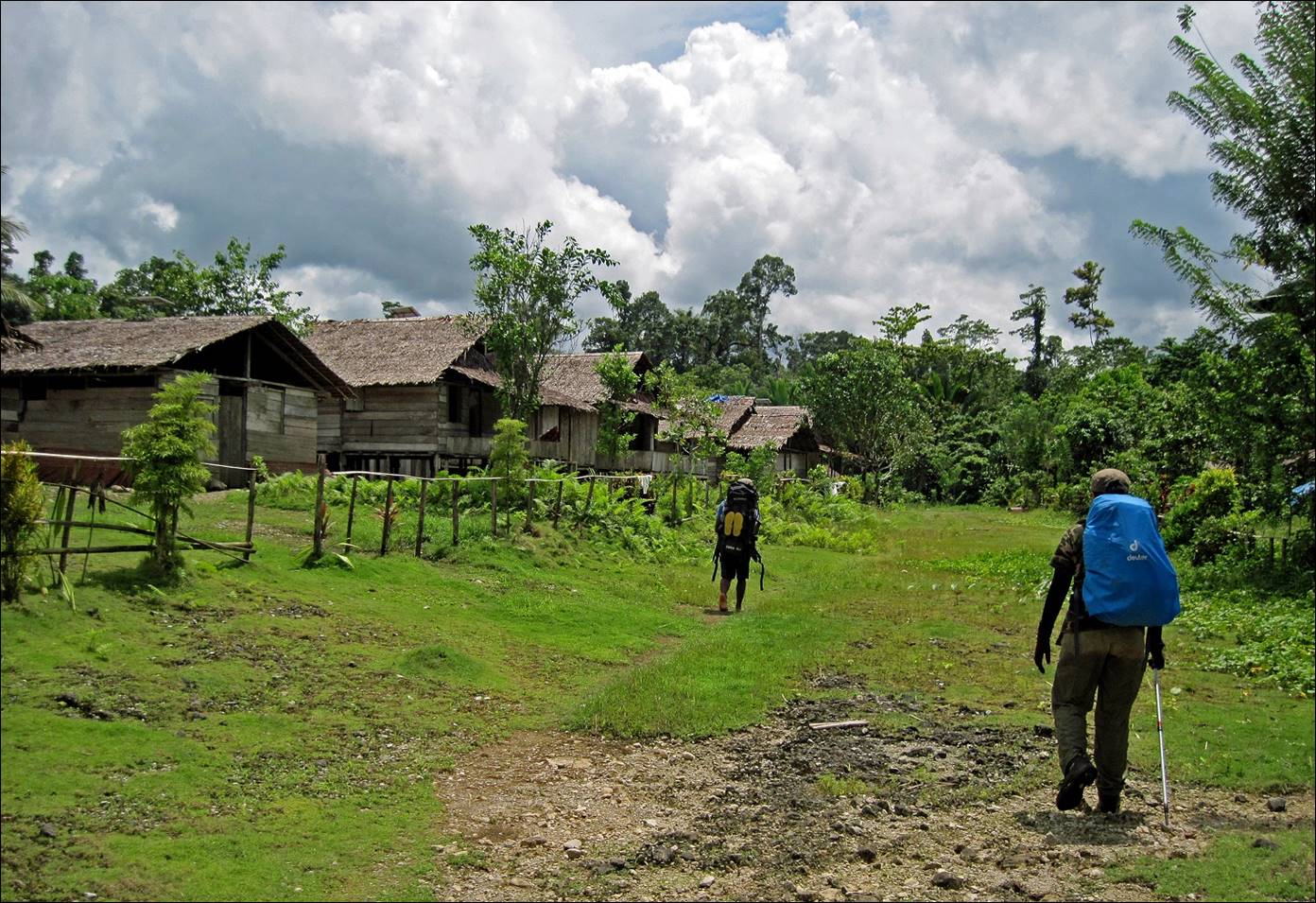
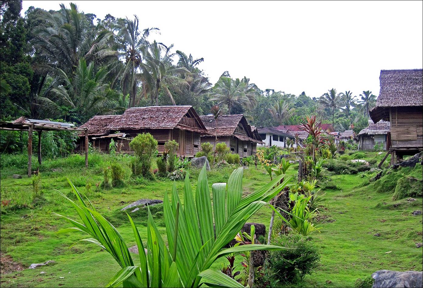
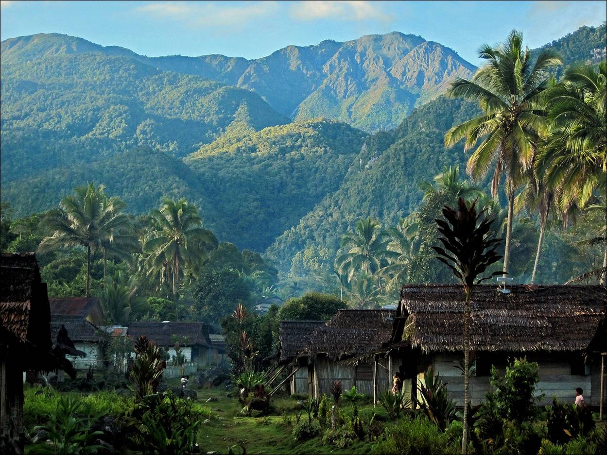
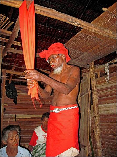
Hanikeh village.
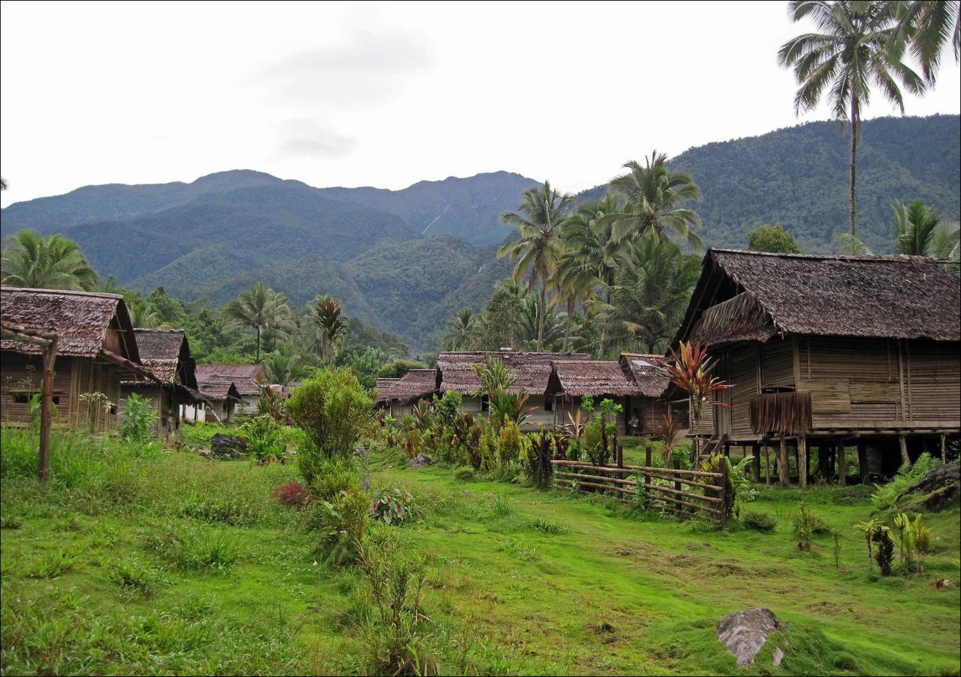
View
of Mt. Binaiya (center-right), 2400m above Hanikeh.
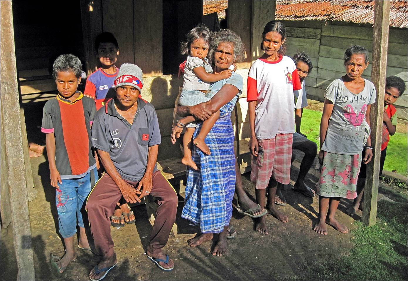
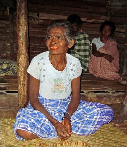
People
of Hanikeh.
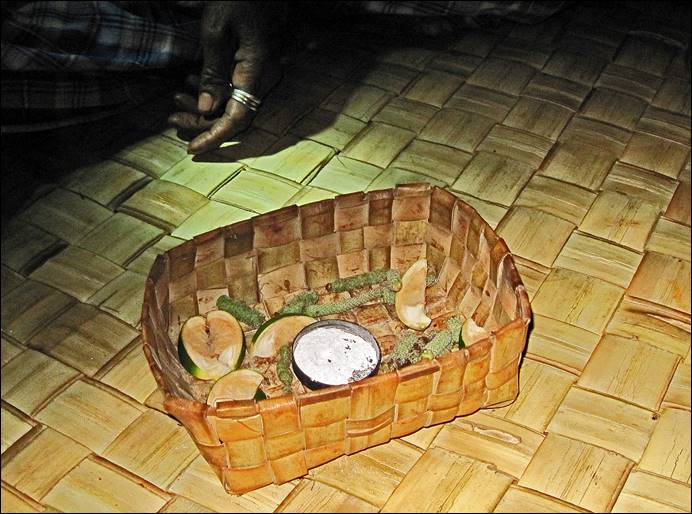
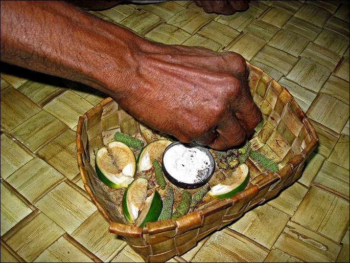
Traditional
ceremony in Hanikeh to bring protection upon us
during our climb.
|
|
|
|
|
|
|
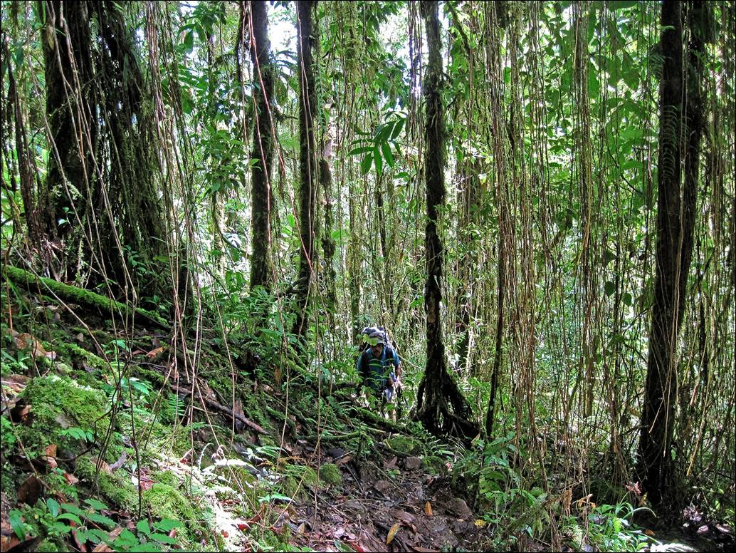
The
path above Hanikeh is often very steep, but slightly
less muddy than between Roho and Hanikeh.
|
|
|
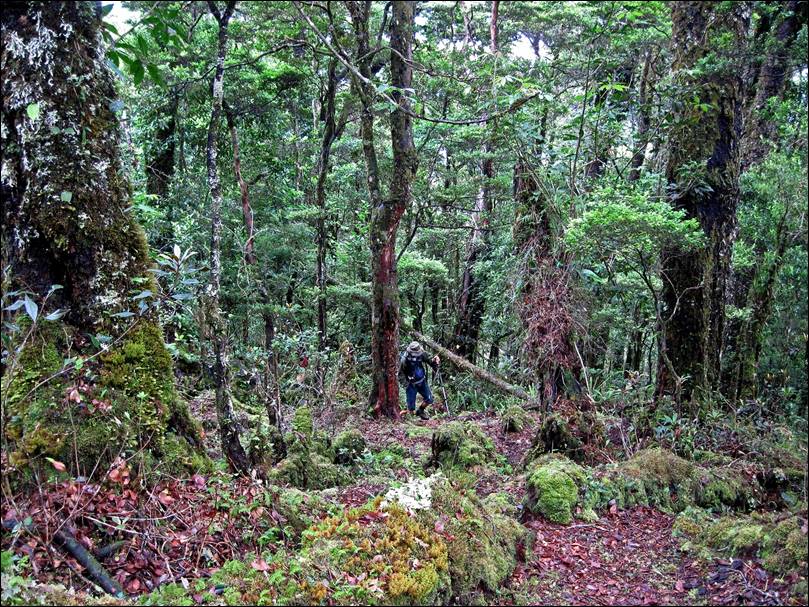
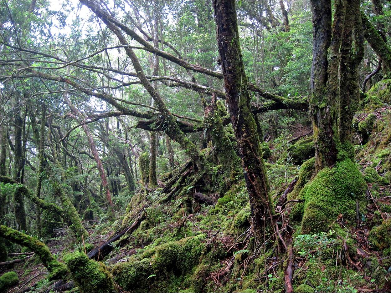
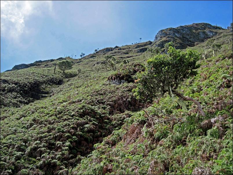
Above
our night camp (2100m) the forest becomes a rain forest and is easier to hike.
|
|
|
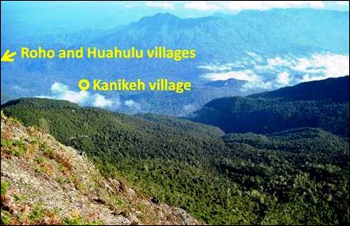
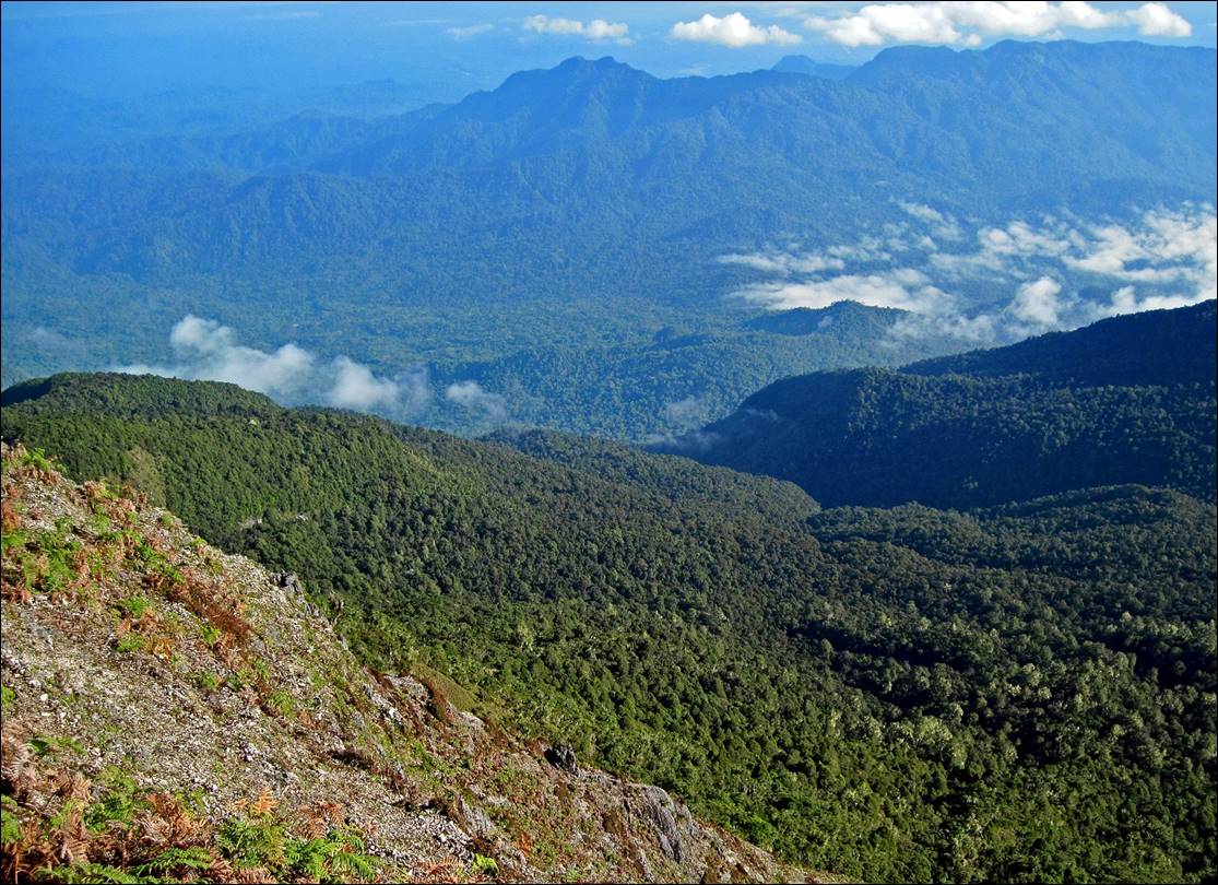
A
rare sight over the northern plain of Seram during
the ascent in the forest. Hanikeh is visible near the
center of the picture (white dot).
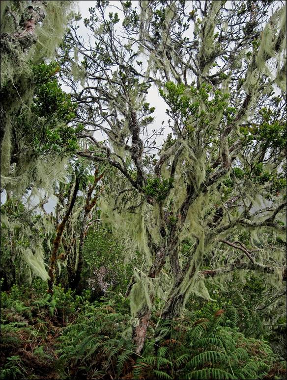
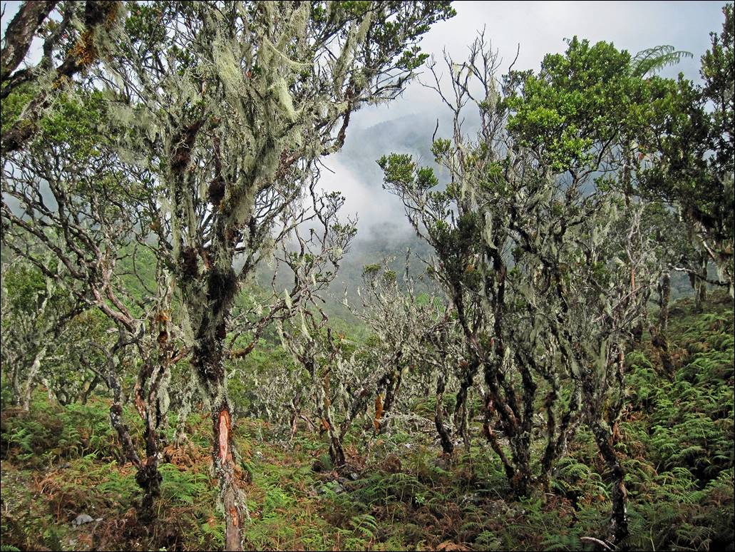
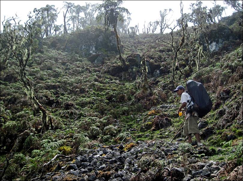
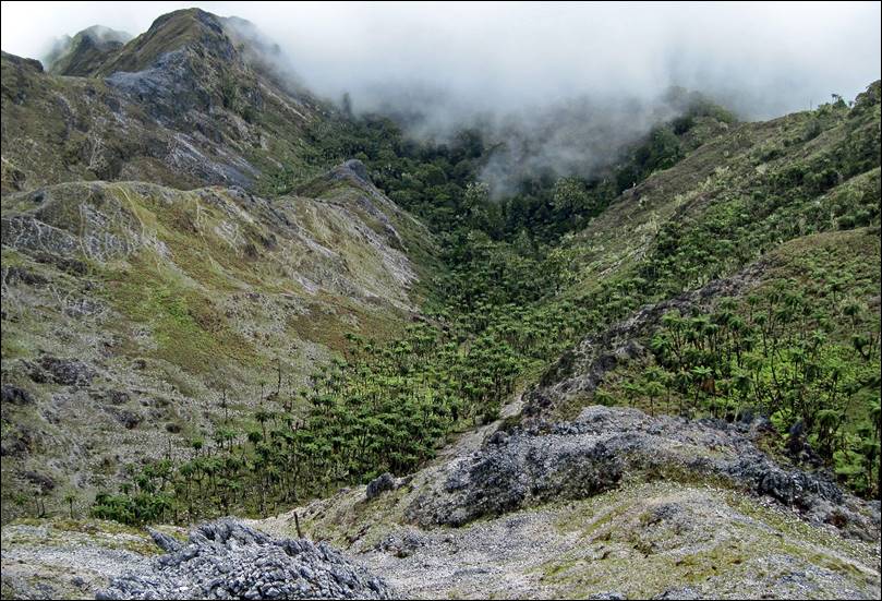
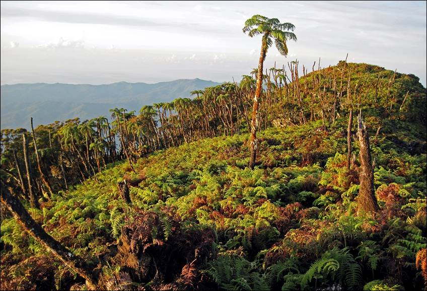
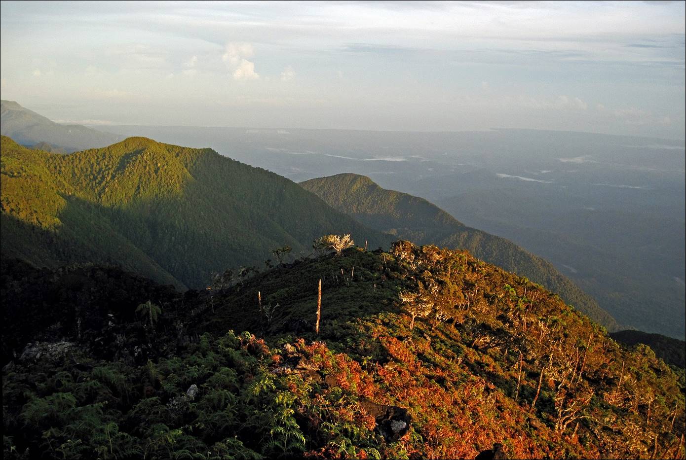
As
we climb further up (here, at about 2600m), the vegetation becomes sparser.
|
|
|
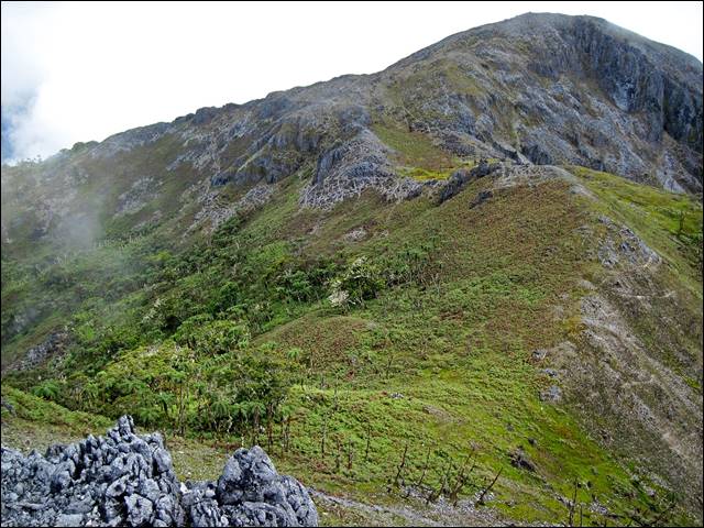
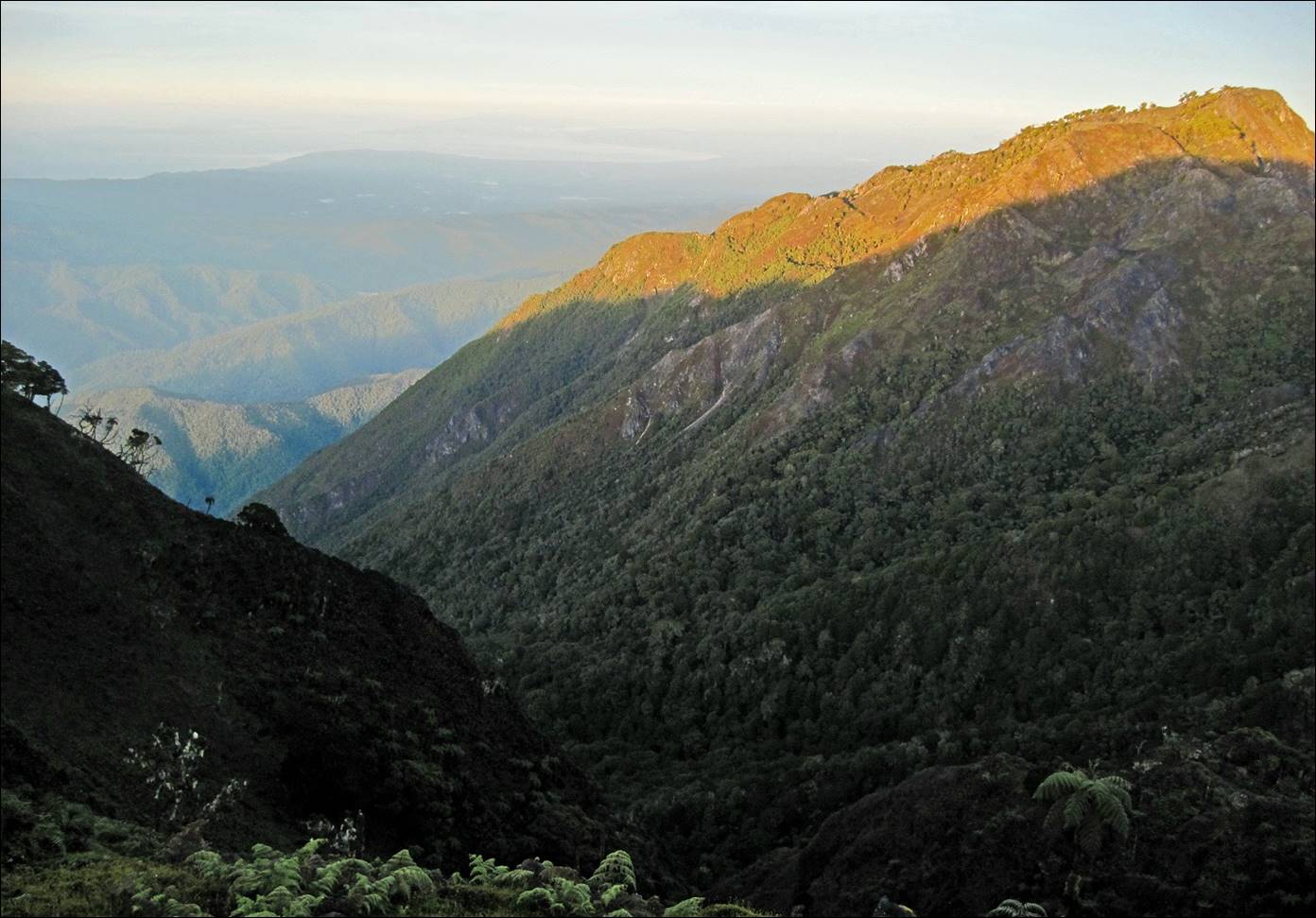
Below
the summit of Mt. Binaiya.
|
|
|
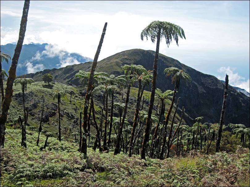
Main
(left) and secondary (right) summits of Mt. Binaiya.
|
|
|
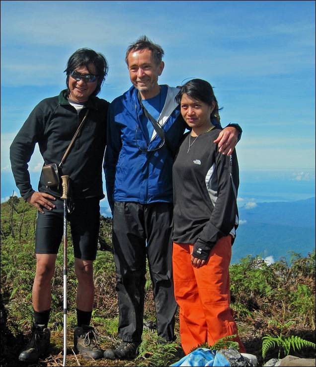
At the summit with my wonderful porters (left) and with Joan
and Mister Leo (right).
|
|
|
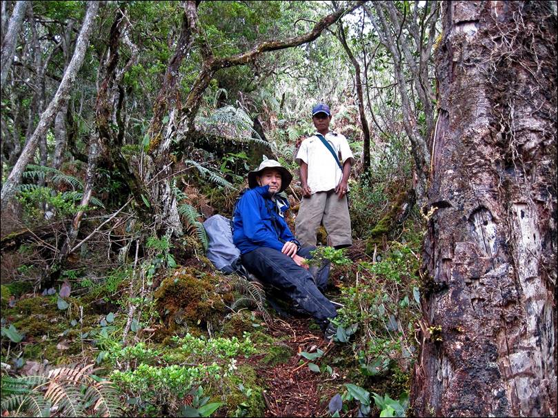
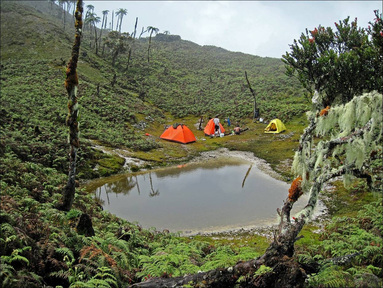
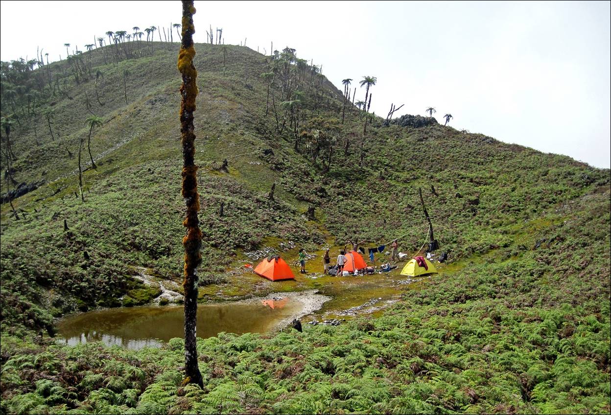
Our
camp, just below the summit, where we spent one night before returning to Hanikeh.
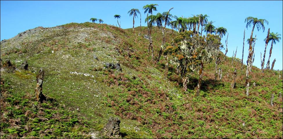
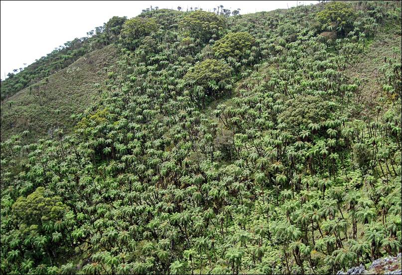
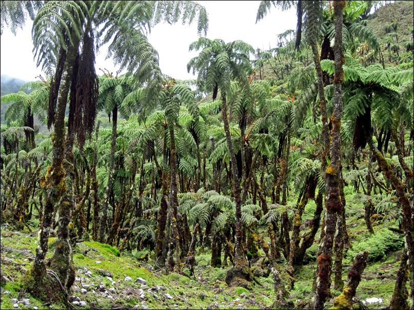
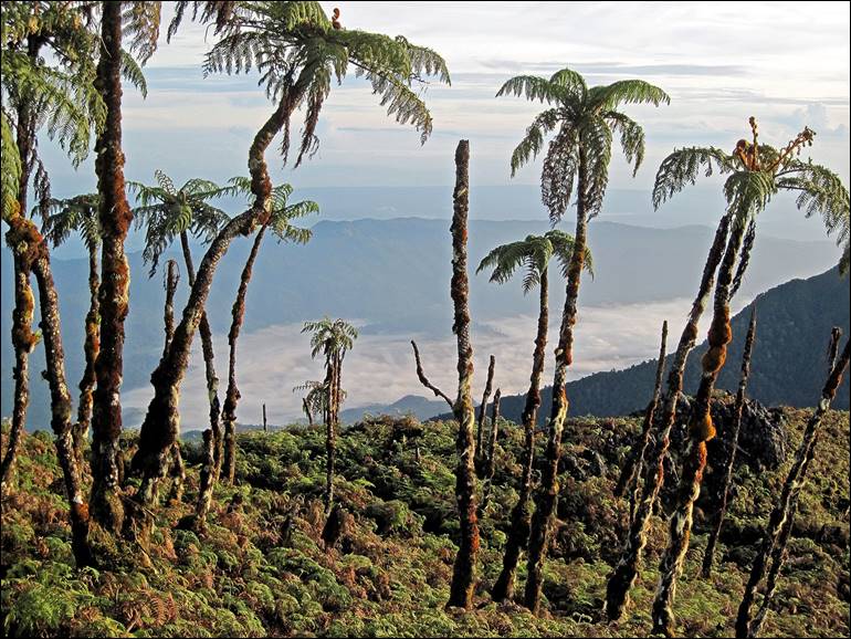
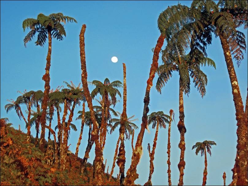
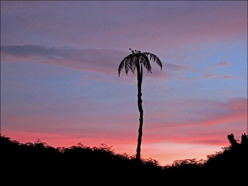
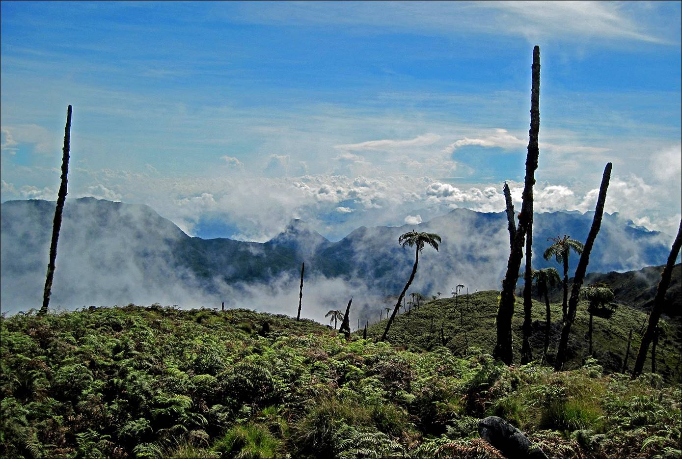
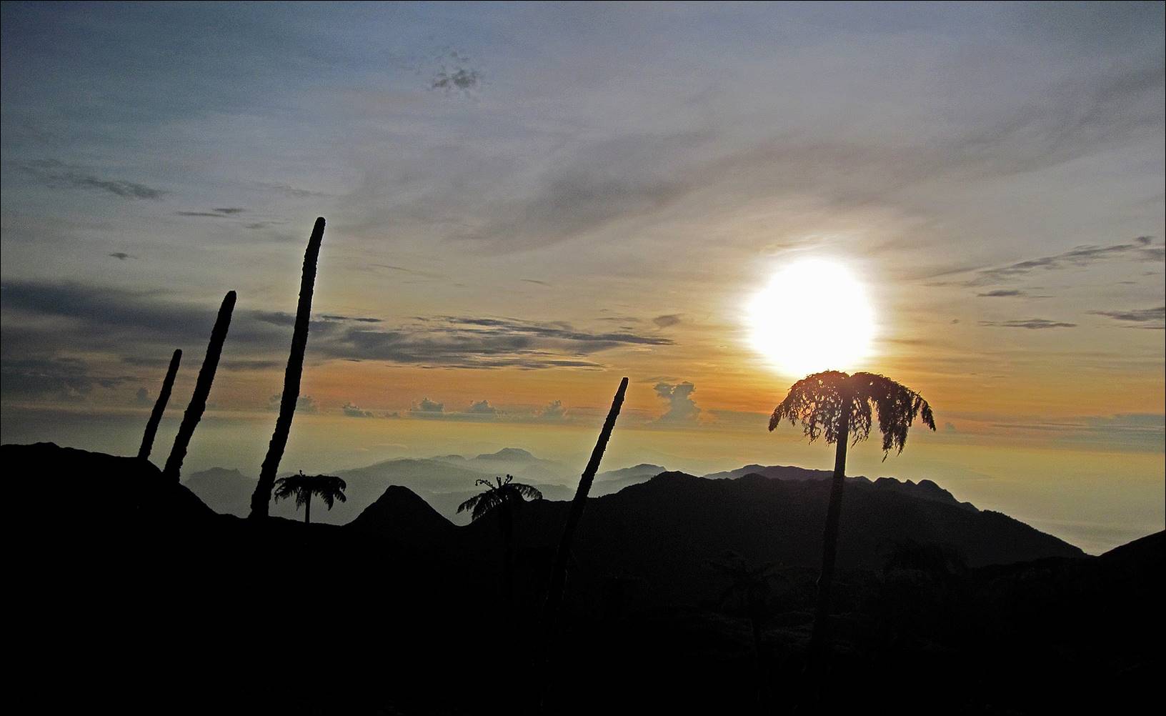
Giant
ferns around the summit of Mt. Binaiya.
|
|
|
|
|
|
|
|
|
|
|
|
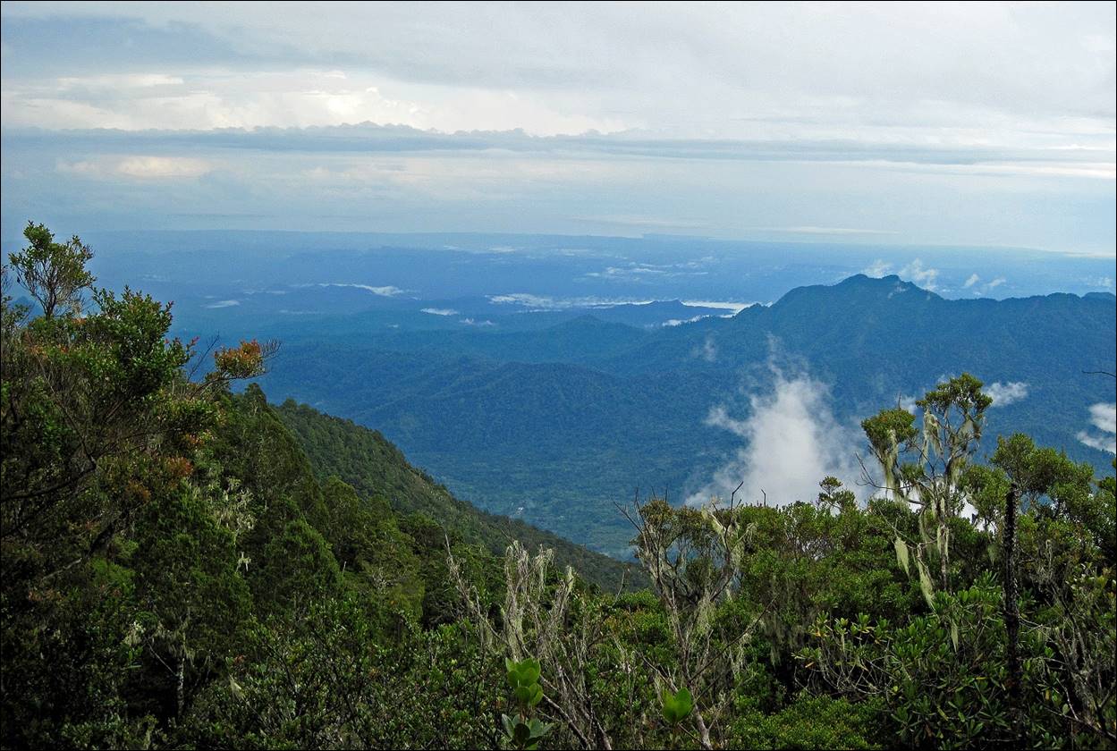
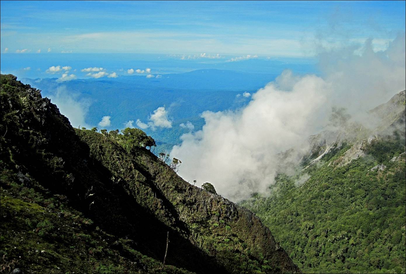
View
of south coast from Mt. Binaiya.
|
|
|
View
toward the north from Mt. Binaiya. Hanikeh village is visible in the plain below (white dot).
|
|
|
Other
views from Mt. Binaiya.
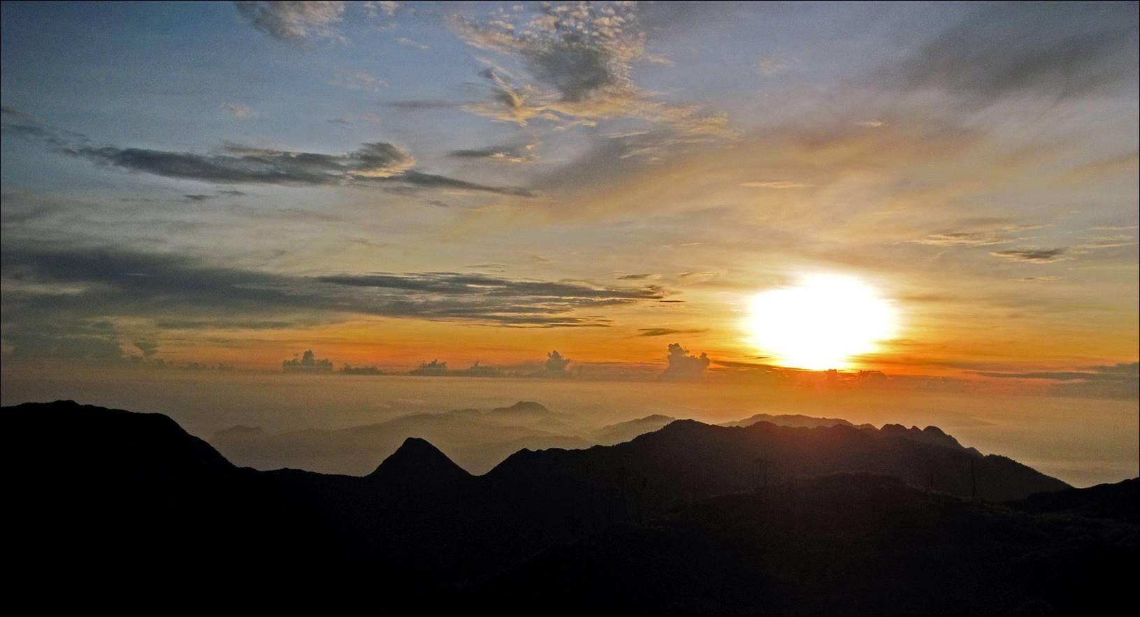
Sunrise
over eastern Seram seen from Mt. Binaiya.
After spending a night on
Mt. Binaiya, we returned by the same way as we came,
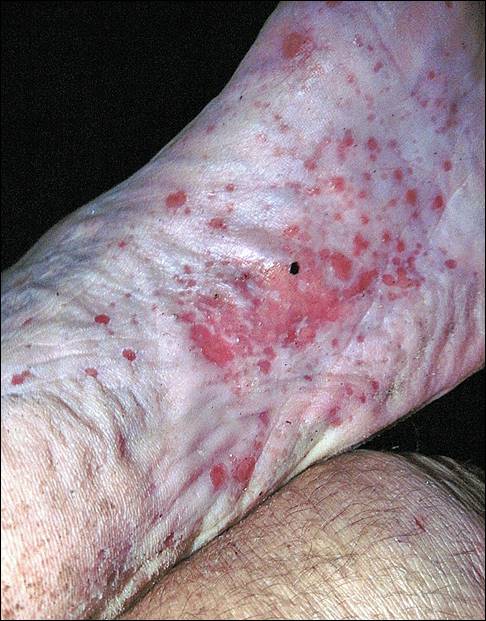
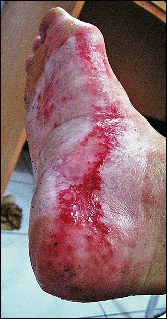
through Hanikeh, Roho, and Huahulu villages. However, hiking for several days in
rivers and muddy/swampy terrain ended up taking a heavy toll on my feet, mostly
due to dust particles (as well, perhaps, as bugs and parasites) that entered my
shoes and socks, and acted as abrasive sandpaper. When we reached Hanikeh from Mt. Binaiya, the
bottoms of my feet were in bad shape (photo on the left). It took us two more
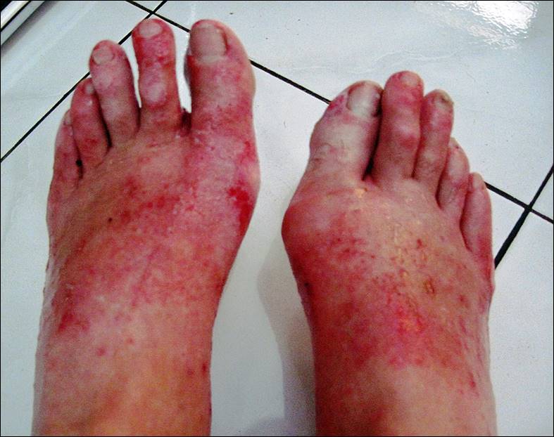
excruciating days to reach the road. From there, a car drove us to Masohi on the south coast. The two photos on the right show
my feet when we arrived at the Irene hotel in Masohi.
|
|
|
|
There,
a Chinese lady (I believe she was the owner or the manager of the Irene hotel)
applied some Chinese medicine to my feet. She had warned me that pain would
make me scream, and yes, I did scream.
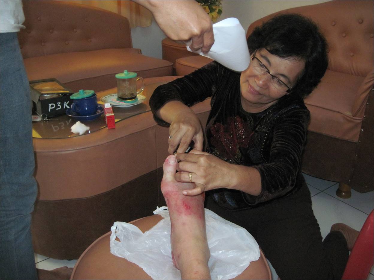
Thanks
to her treatment, however, I was able to reach Singapore two days later. But by
then, my feet had swelled much and were clearly infected. I spent the following
6 days in Mount Elizabeth hospital (excellent) where I was administered large
amounts of antibiotics.
![]()