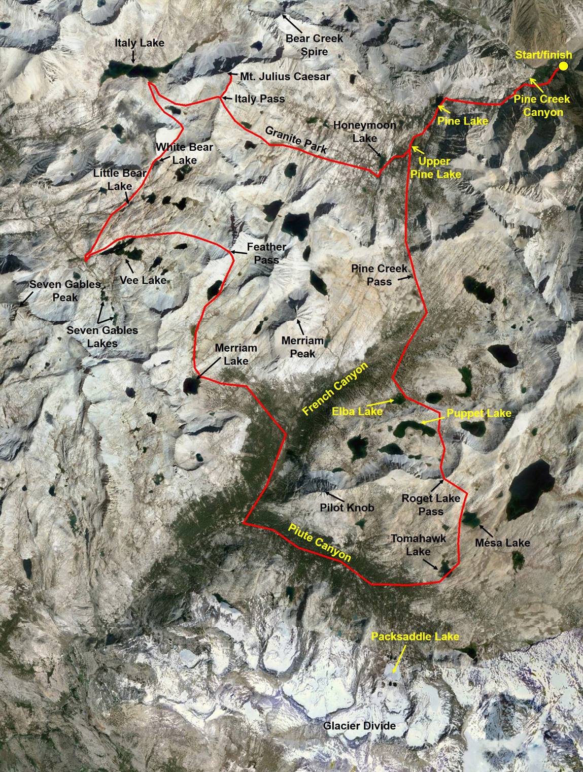
Around Merriam Peak, High Sierra Nevada, California (Summer 2007)
![]()
Return to my mountaineering/trekking/travel webpage
This 5-day
loop traverses some of the most beautiful landscapes of the High Sierra Nevada.
The loop starts and finishes at the end of Pine Creek Road (near the Pine Creek
Tungsten mine) slightly north of Bishop on the eastern side of the Sierra. The
highest point of the hike is the summit of Mt. Julius Caesar at 4023m. I did
this tour with minimal equipment (no tent, light sleeping bag). The heaviest
item was the bear-resistant food container.
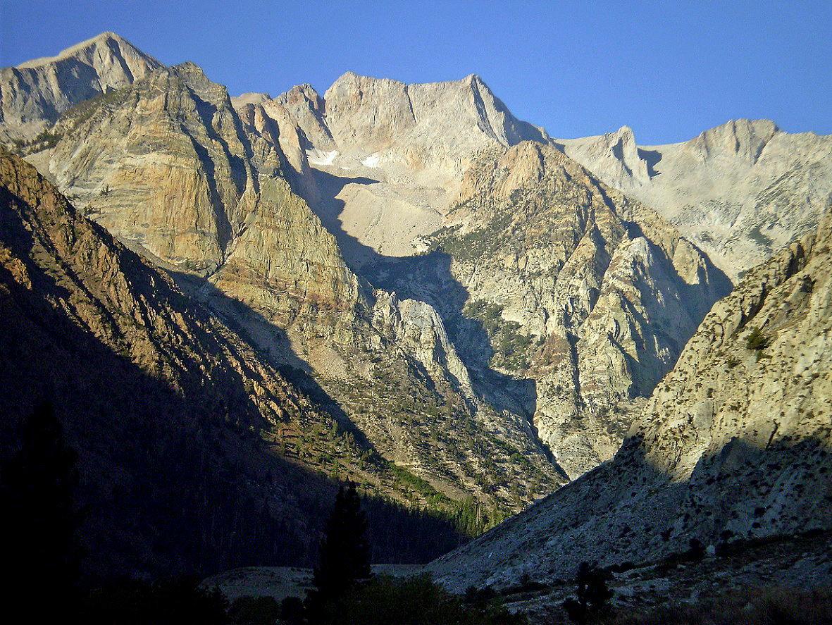
Pine Creek
Canyon at the beginning of the hike.
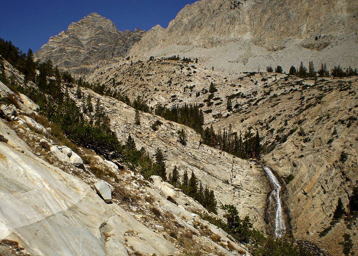
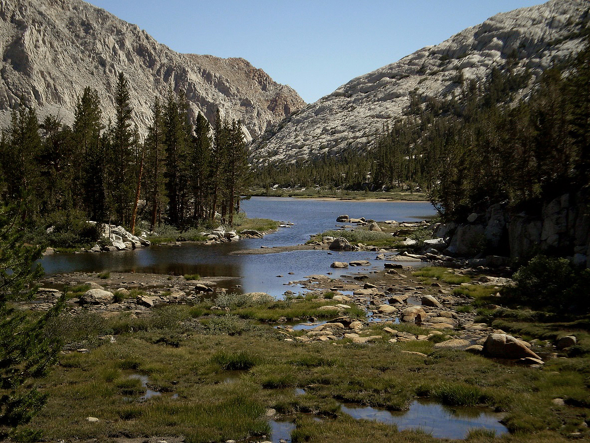
Pine Creek below Pine Lake.
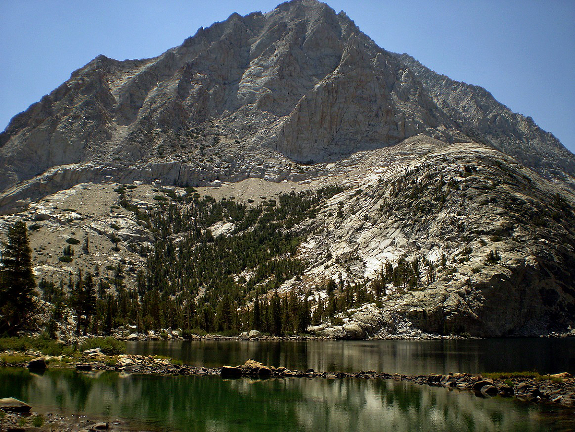
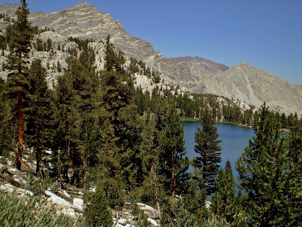
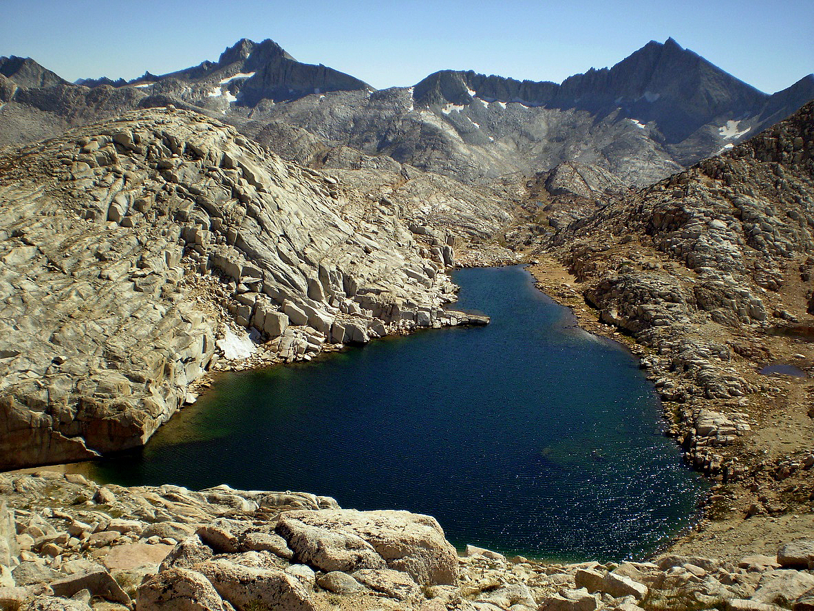
Pine Lake.
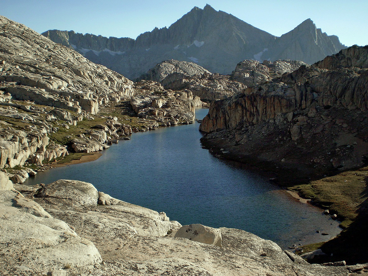
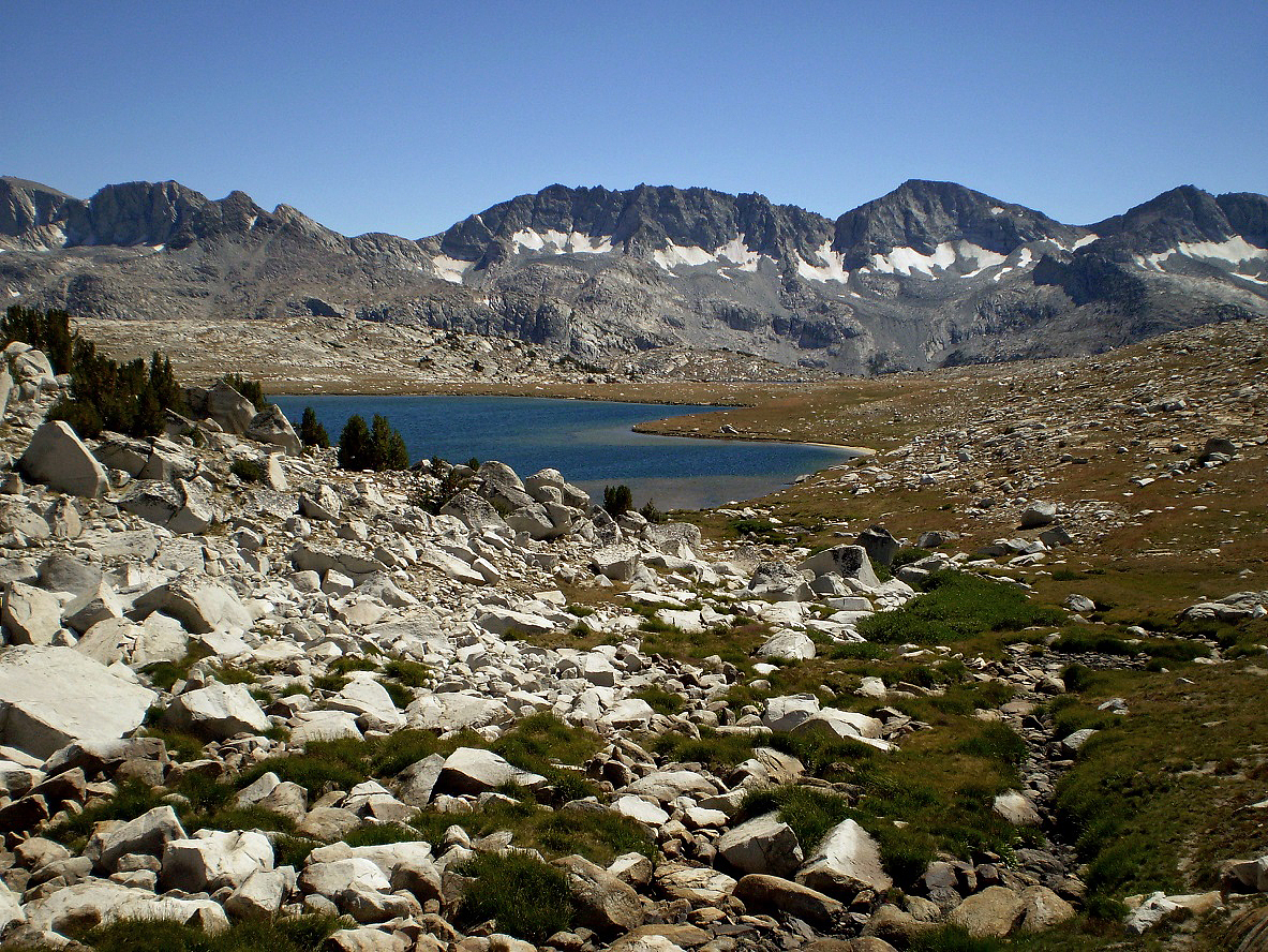
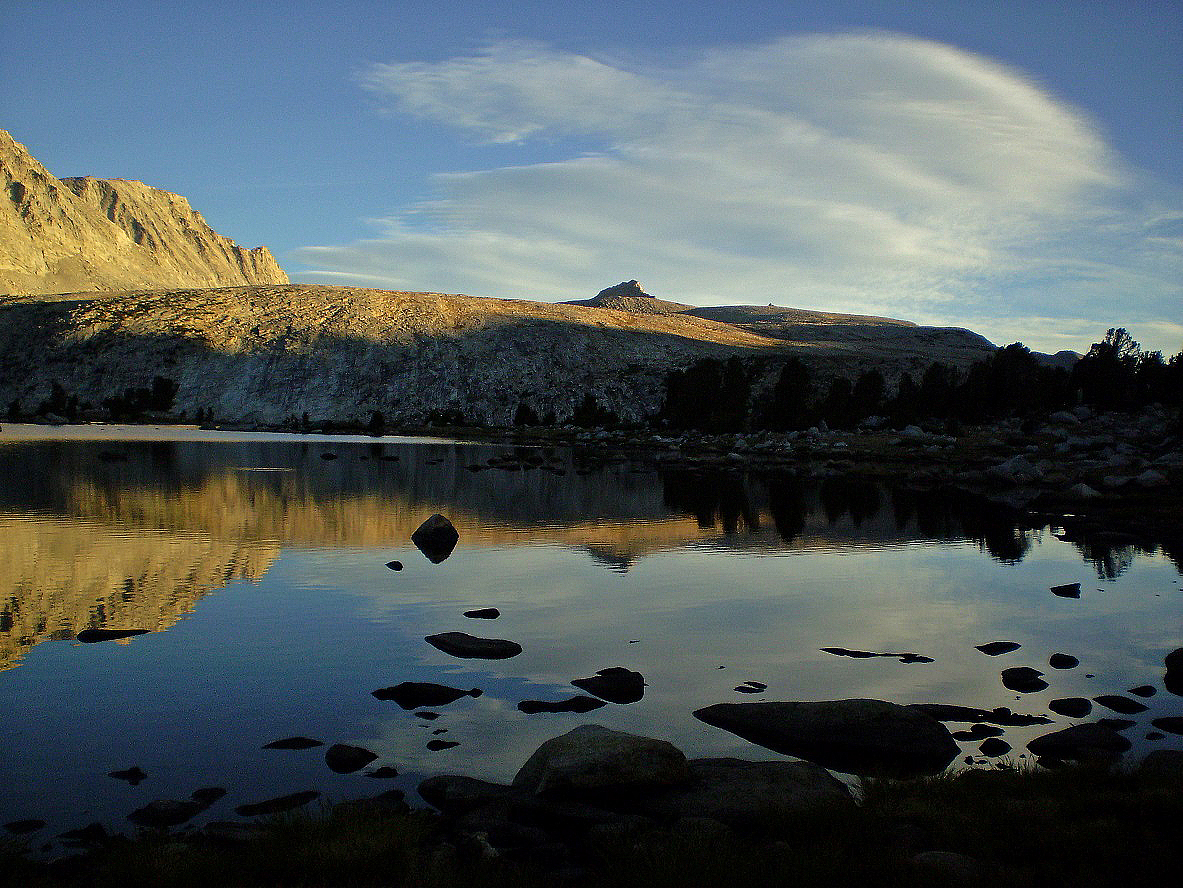
Honeymoon Lake.
View toward the SE from above Honeymoon Lake.
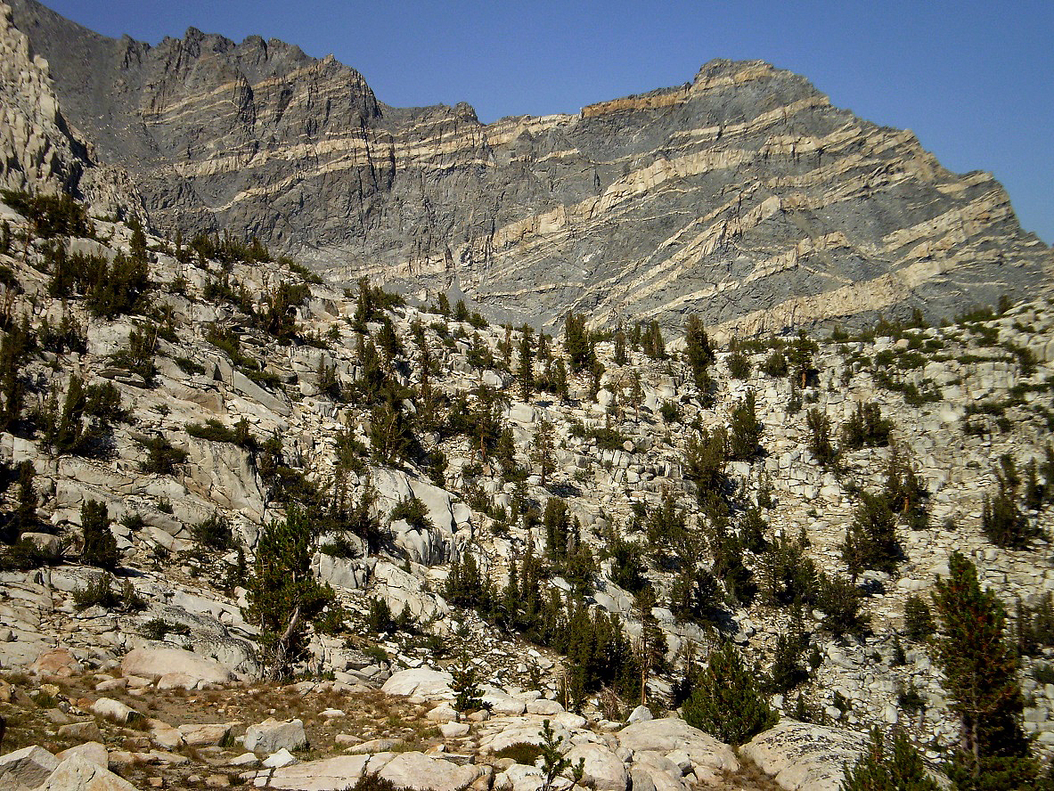
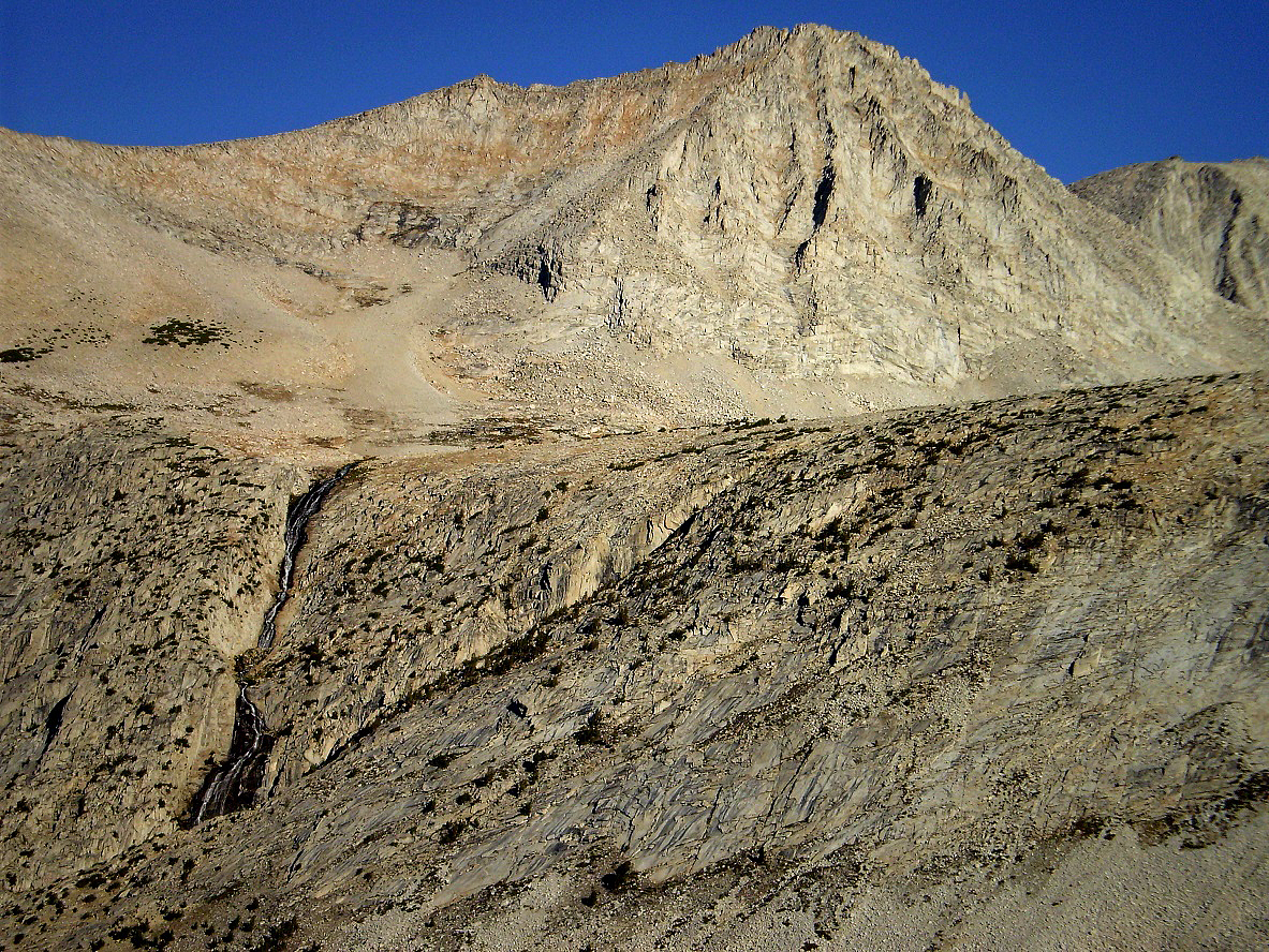
Striped peak north of Honeymoon Lake.
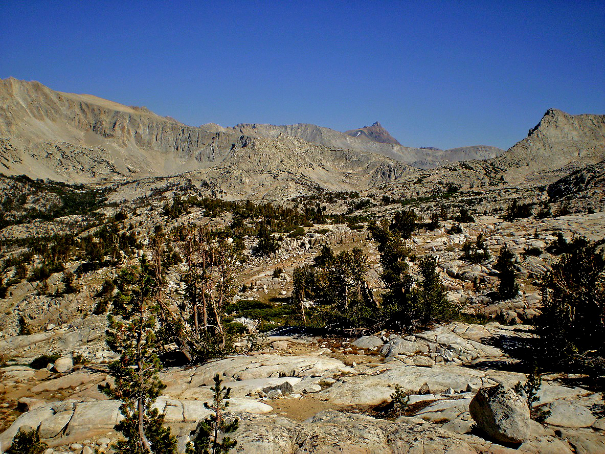
In the so-called ″Granite Park″ above Honeymoon Lake.
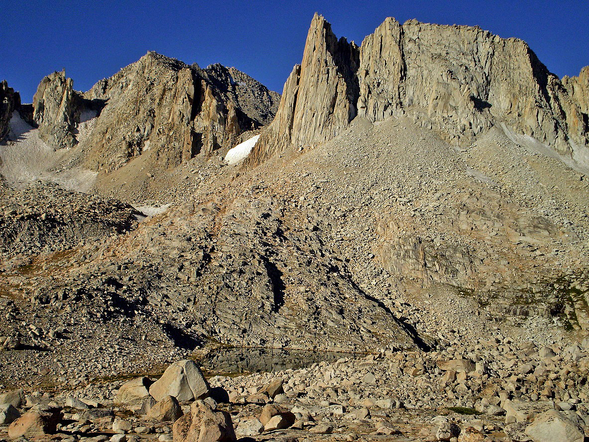
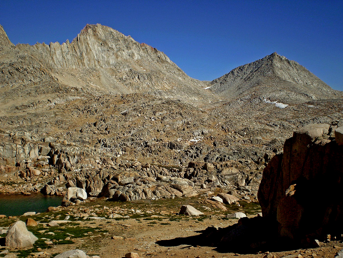
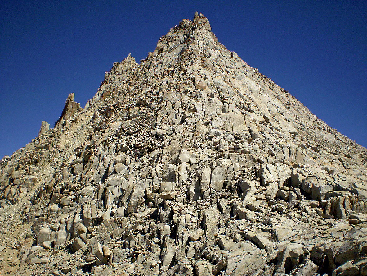
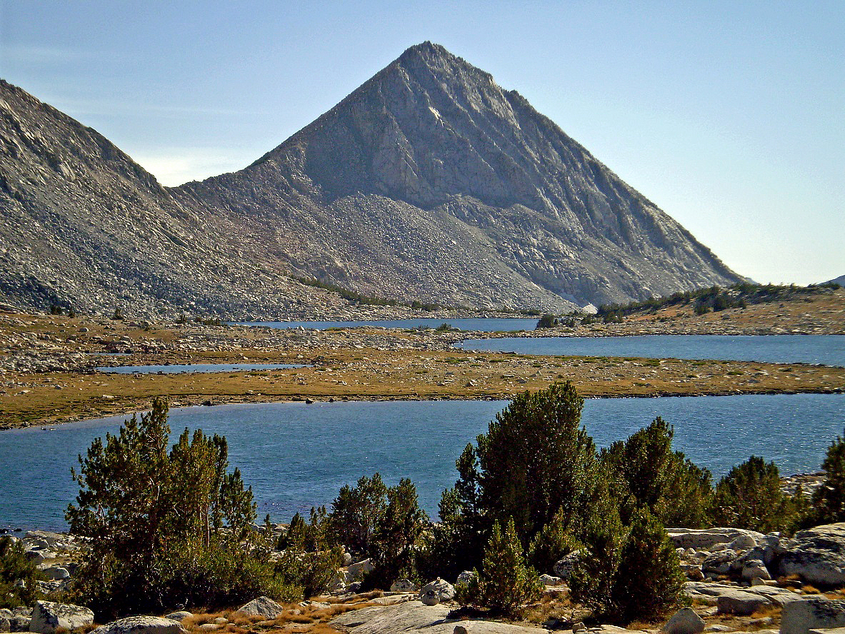
At the end of Granite Park, Italy Pass on the left and Mt. Julius Caesar
(4023m) on the right.
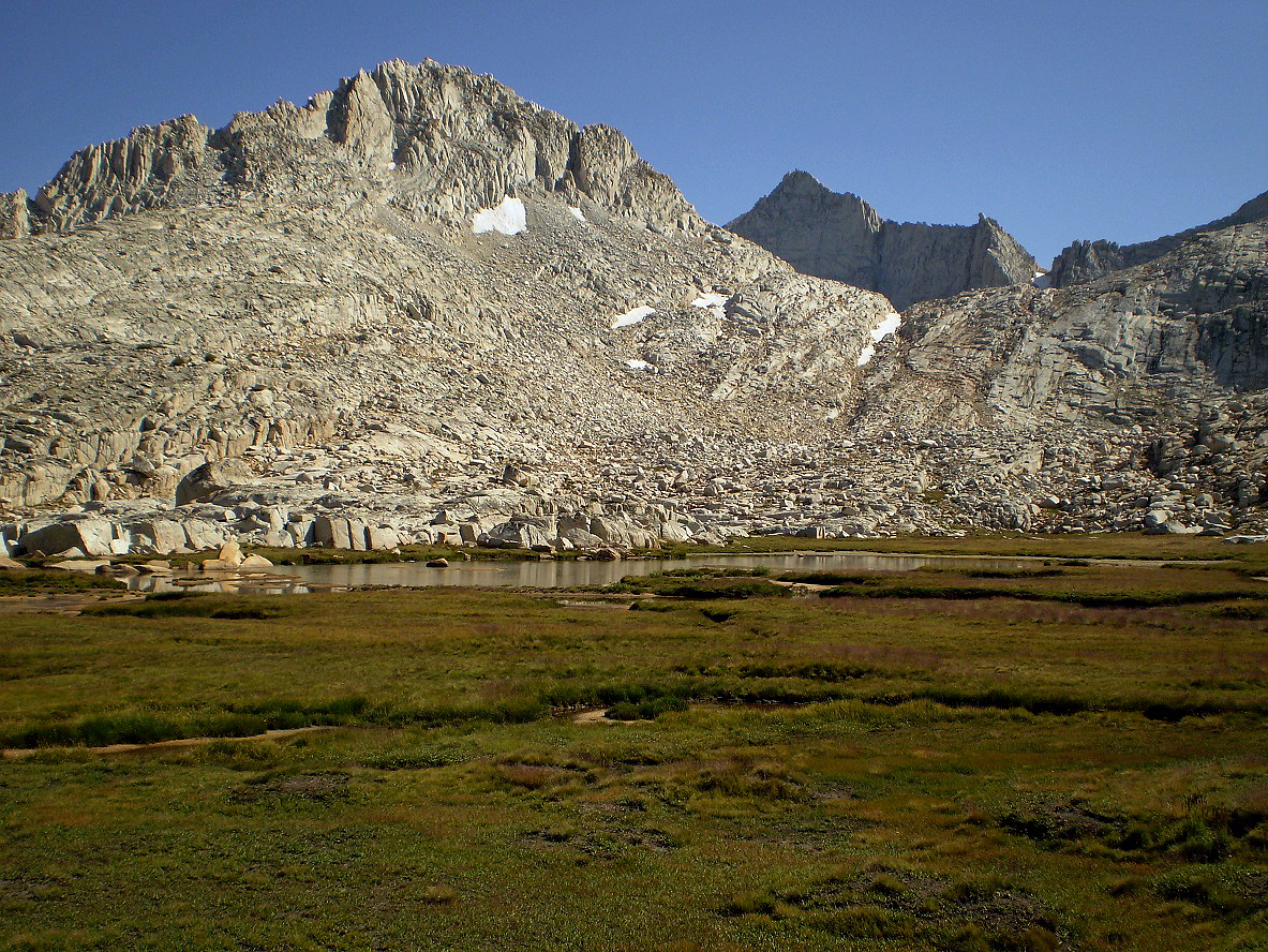
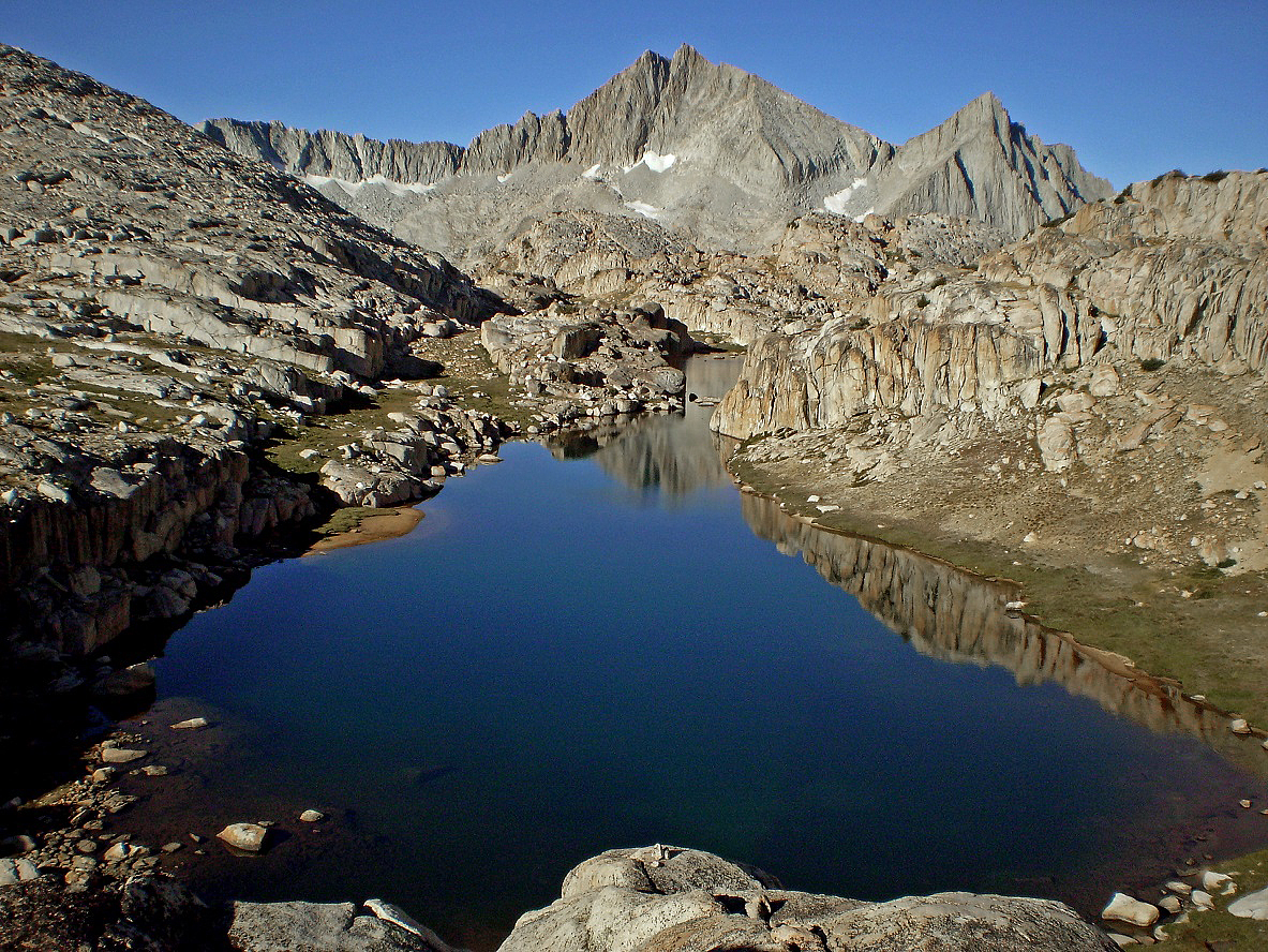
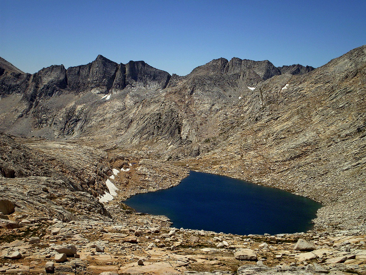
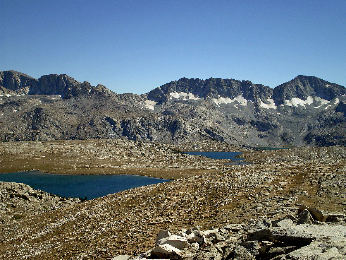
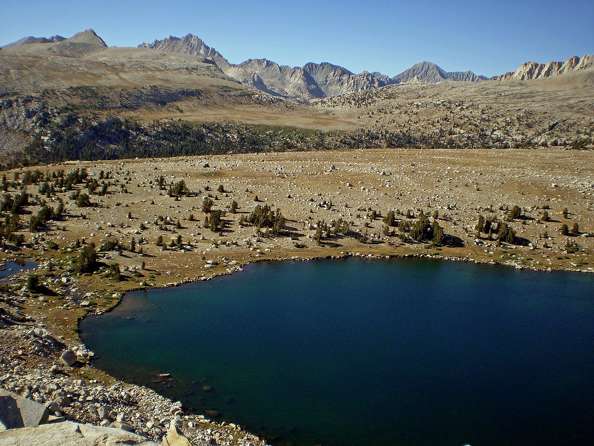
Two small lakes located south of Mt. Julius Caesar seen from Italy Pass.
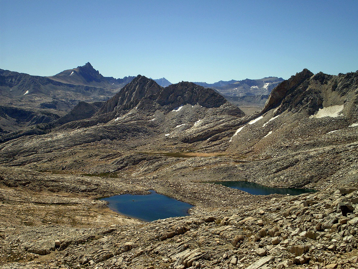
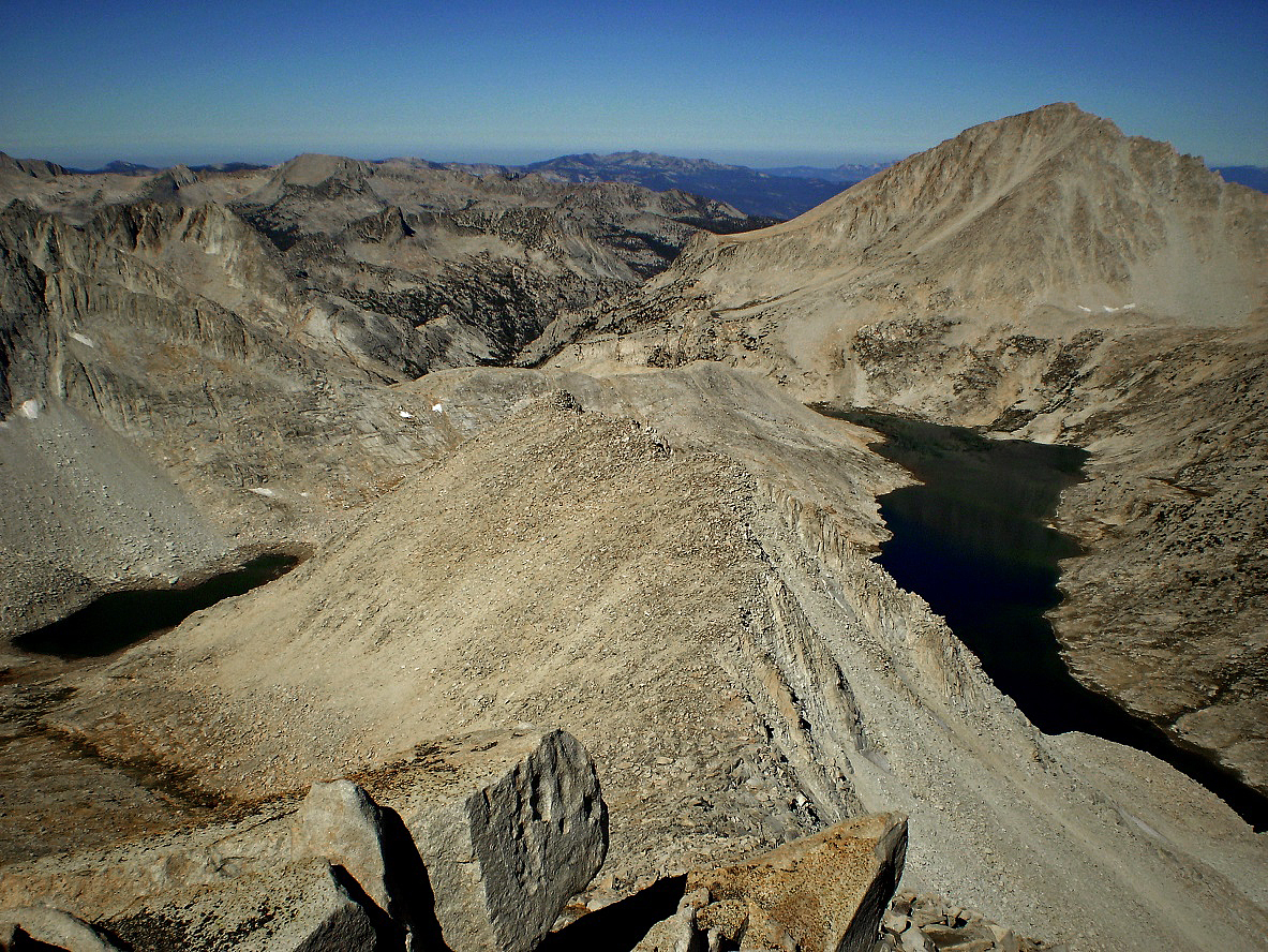
View from the summit of Mt. Julius
Caesar toward the south. Royce and Merriam Peaks are visible on the right and
three Royce Lakes in the middle.
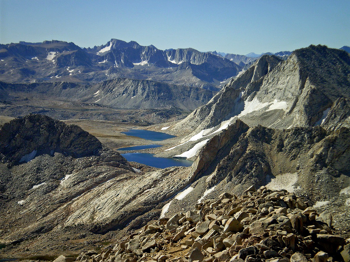
View toward the west from the summit of Mt. Julius Ceasar,
with Jumble Lake on the left and Italy Lake on the right.
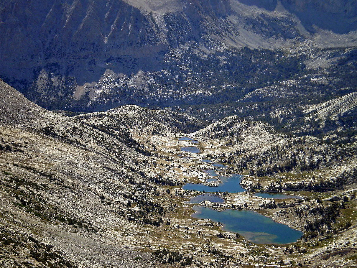
View (toward the east) over the Chalfant Lakes from Mt. Julius Caesar. Pine Creek Basin lies
behind them. Honeymoon and Upper Pine Lakes are hidden by small ridges.
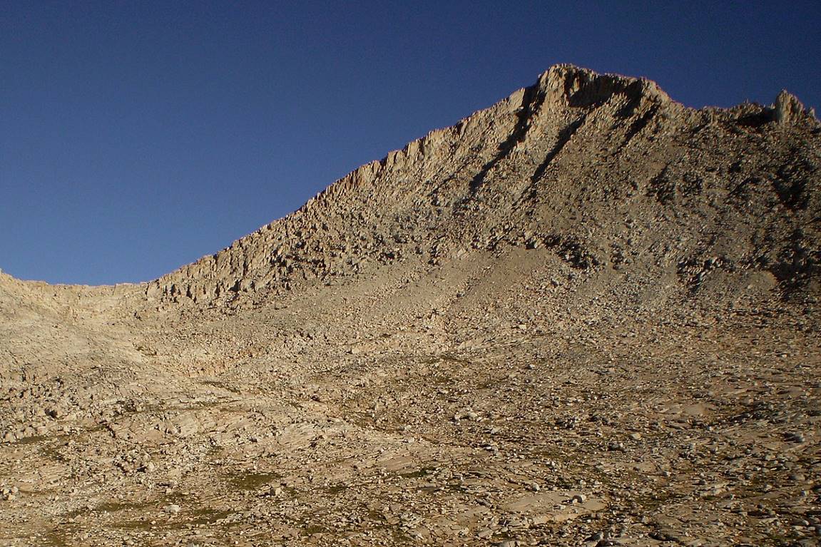
Mt. Julius Caesar and Italy Pass seen from their western side.
On the shore of Italy Lake.
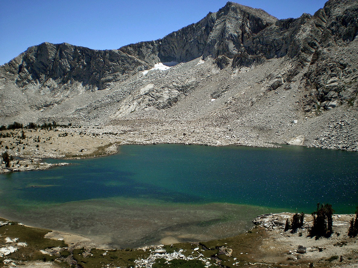
White Bear Lake.
Little Bear Lake in the evening, with Seven Gables Peak in the
background.
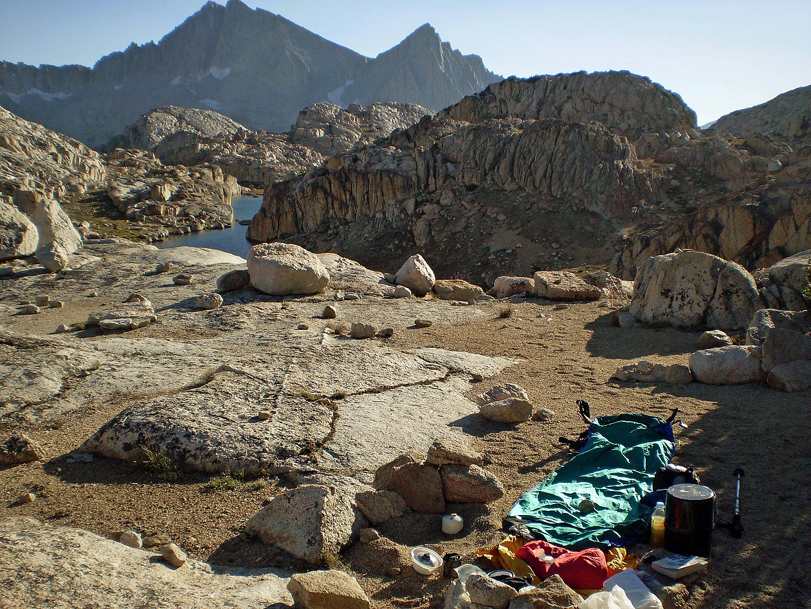
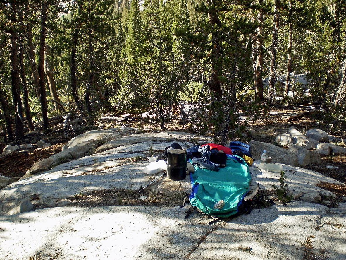
My camp above Little Bear Lake.
Little Bear Lake again, in the morning.
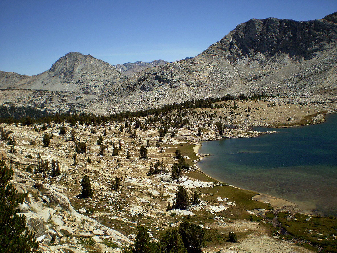
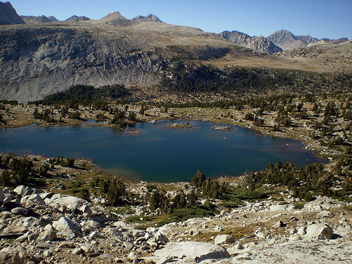
View over the Seven Gables Lakes.
Another view of Seven Gables Peak with Stub Lake at its foot.
Vee Lake and Seven Gables Peak.
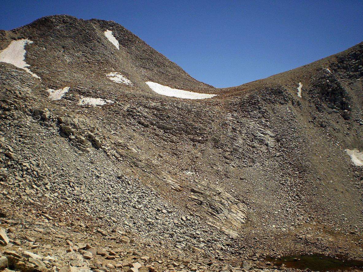
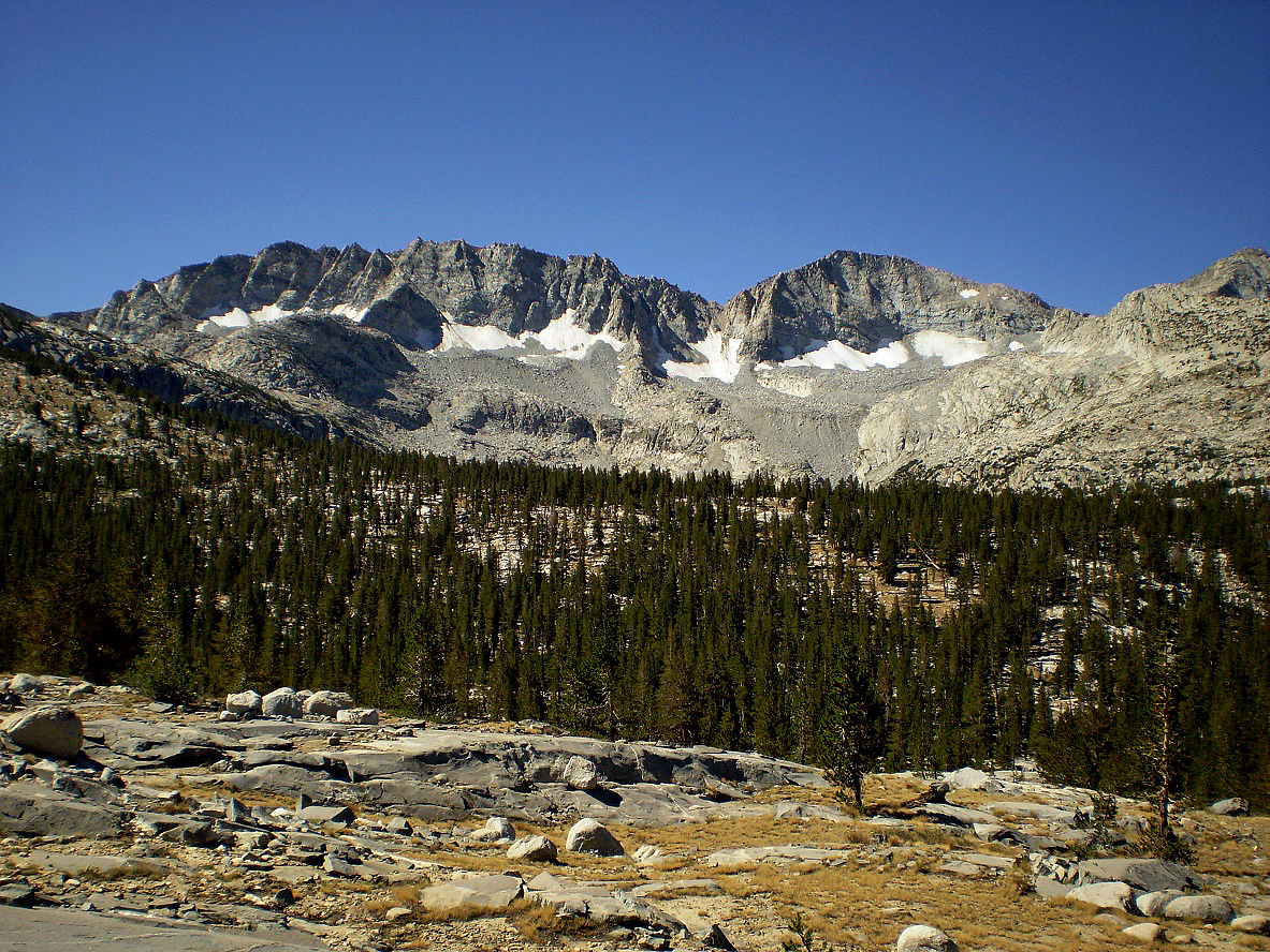
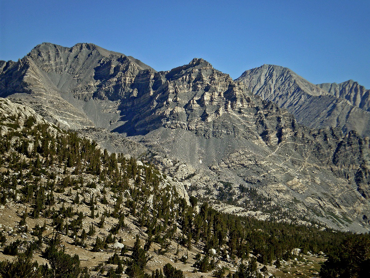
SW ridge of Feather Peak.
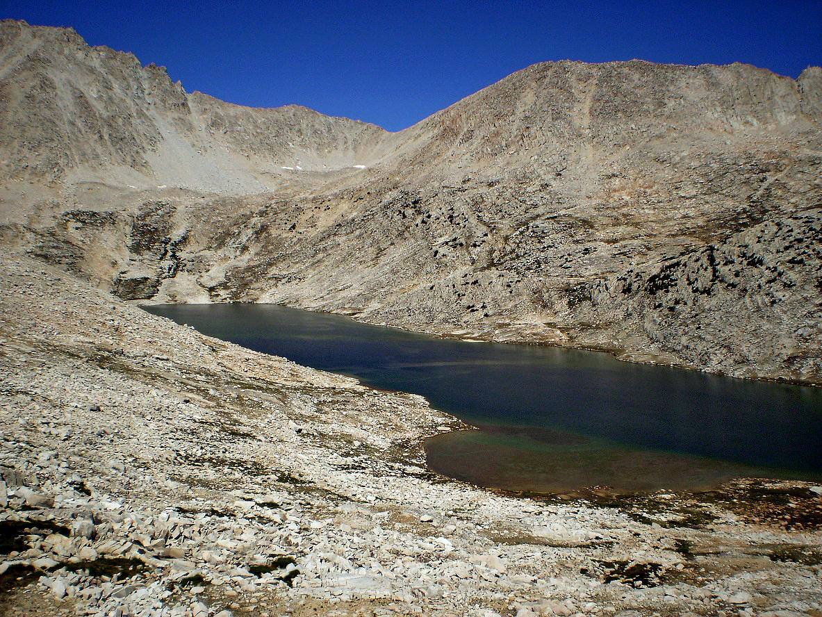
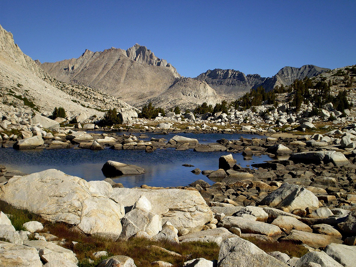
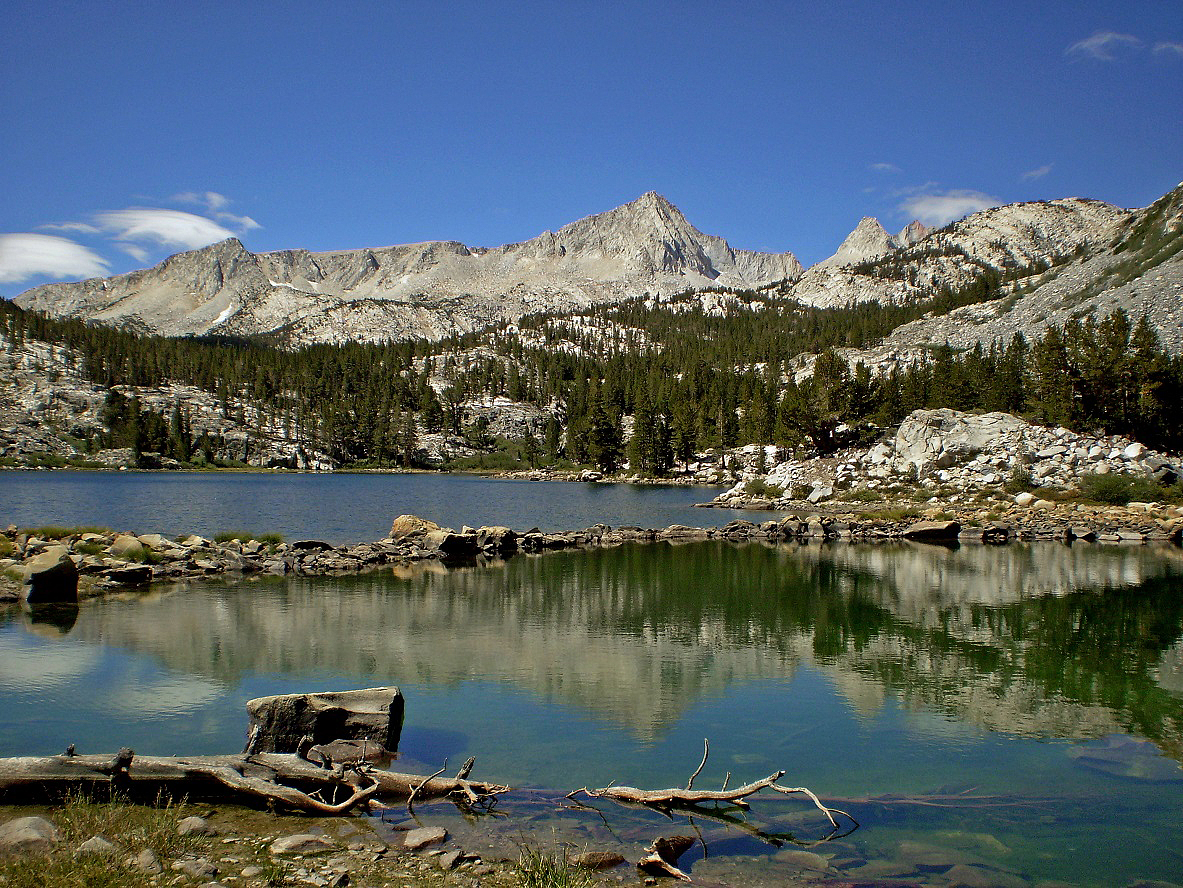
La Salle Lake below Feather Pass.
Merriam Lake, with Pilot Knob in the background of the second photo.
My camp in French Canyon, near Piute Canyon.
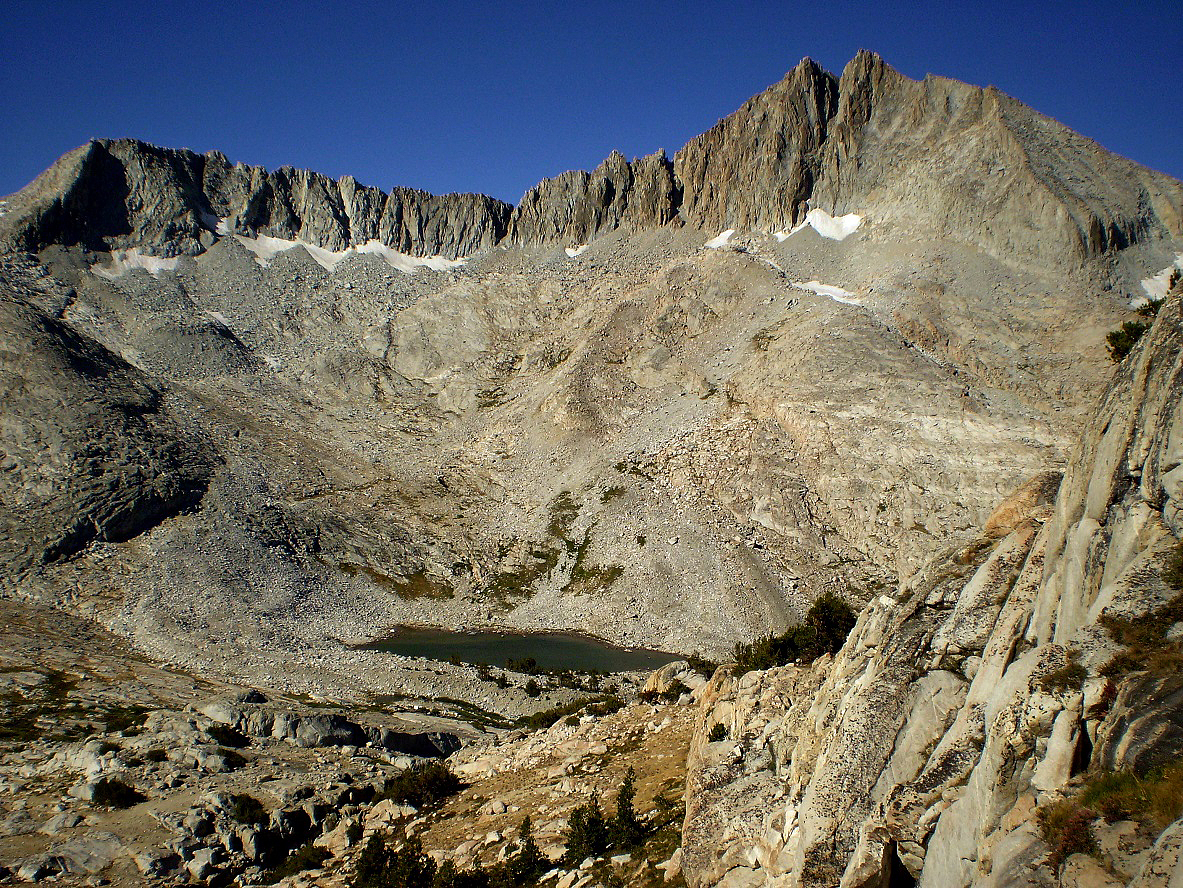
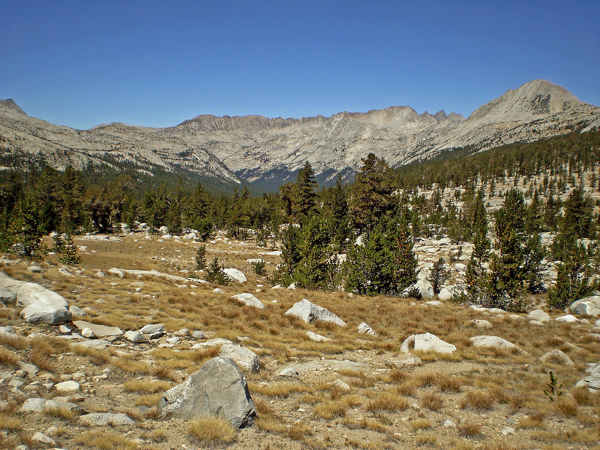
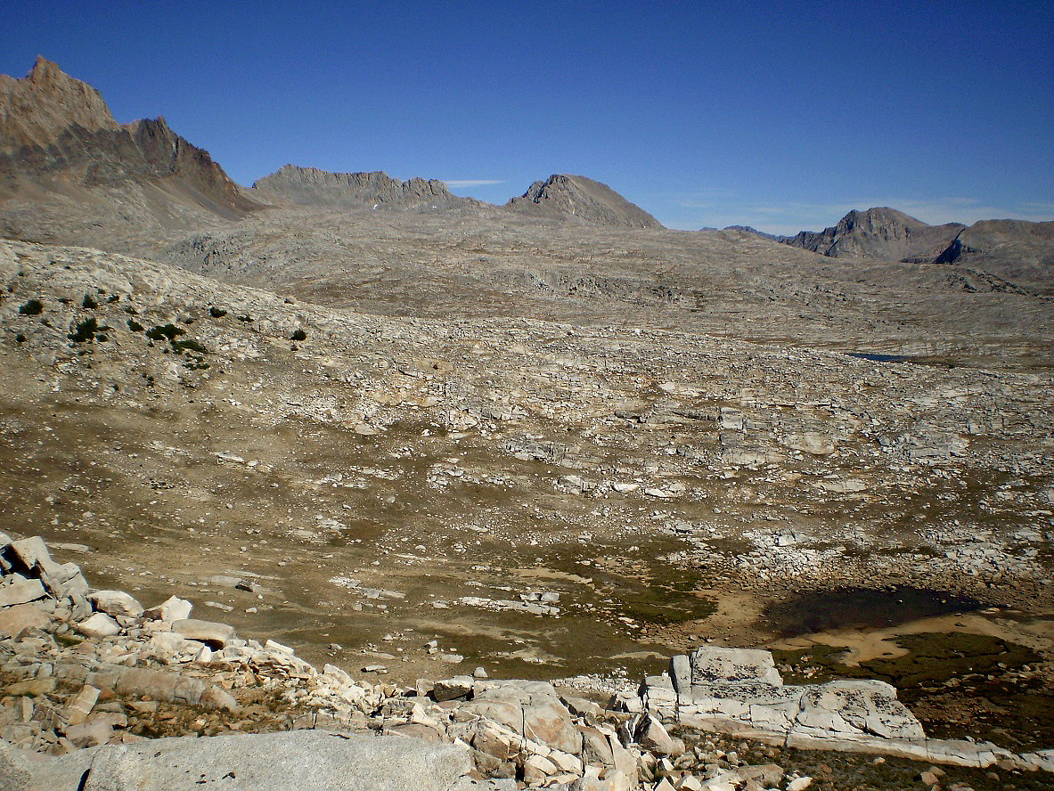
The Glacier Divide range above Packsaddle Lake (not visible), seen from
the upper Piute Canyon.
Looking back (toward the W-NW) from the upper Piute Canyon, with Pilot
Knob on the right.
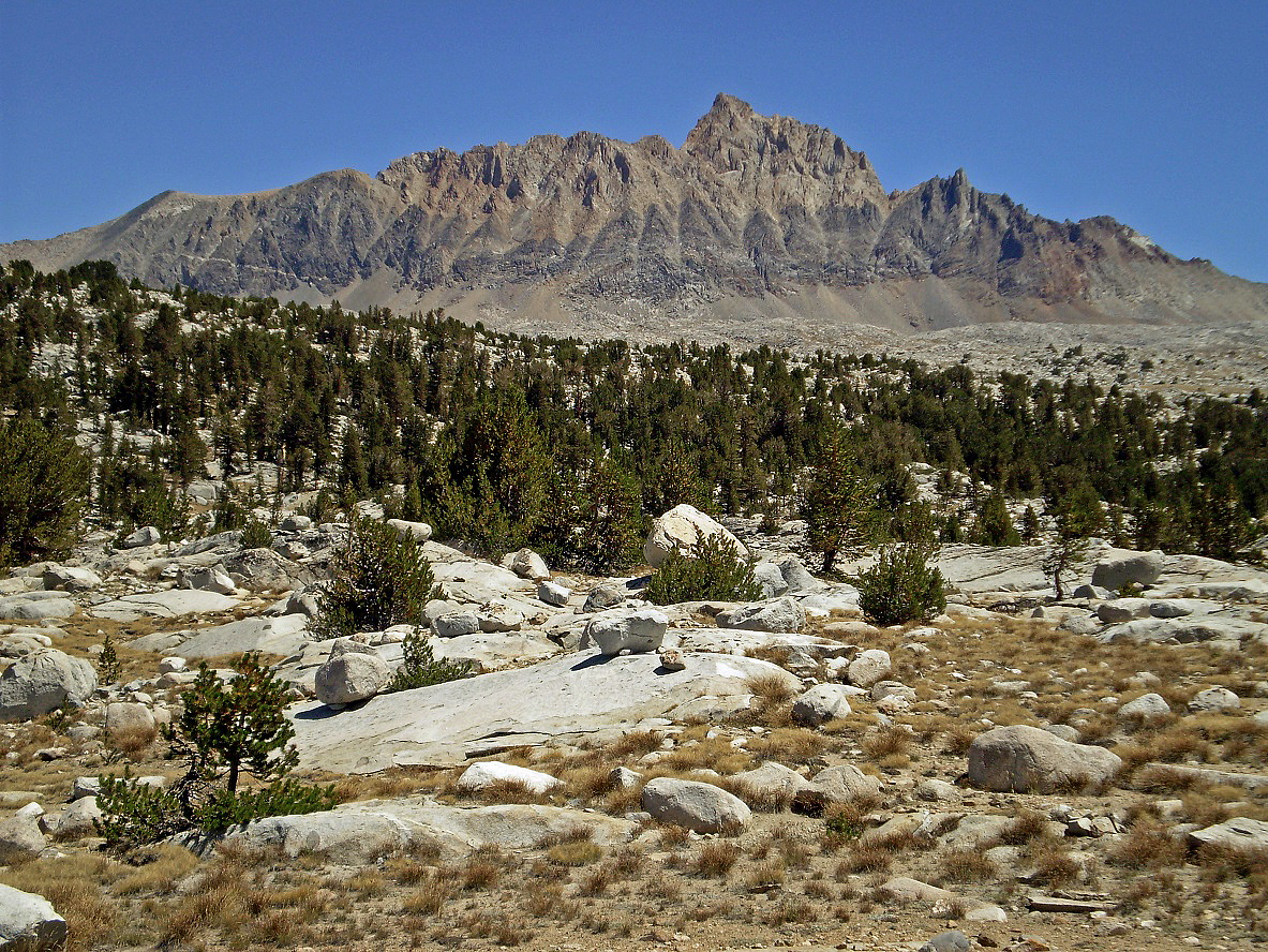
Mt. Humphreys (4263m) seen from the upper Piute Canyon.
Tomahawk Lake and the Glacier Divide range in the background.
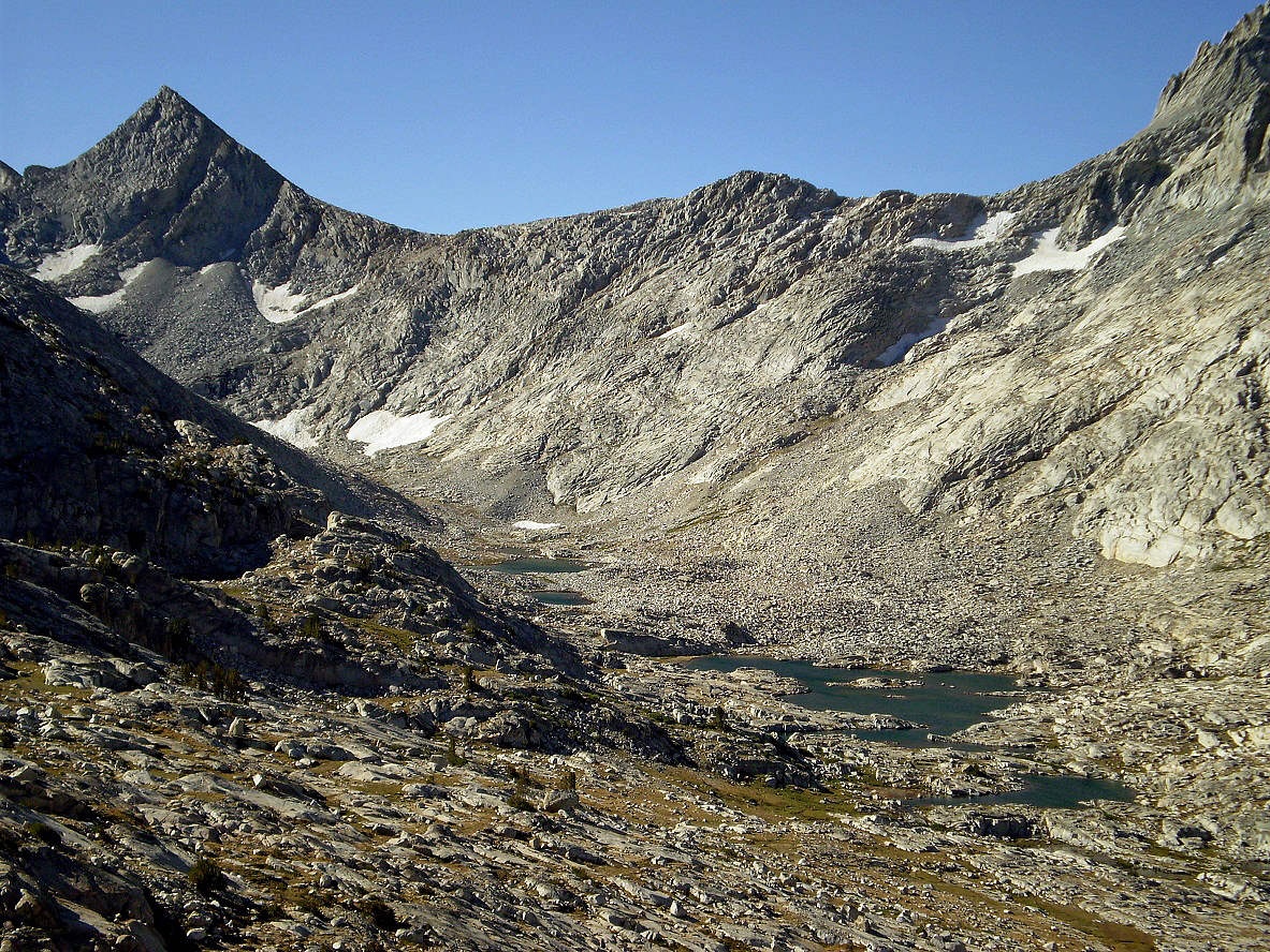
View from Roget Lake Pass toward the
south, again with the Glacier Divide range in the background. The three lakes
visible in the picture are, from closer to further, Mesa, Tomahawk, and
Packsaddle Lakes.
View from Roget Lake Pass toward the E-SE, with Mt. Humphreys on the very
left.
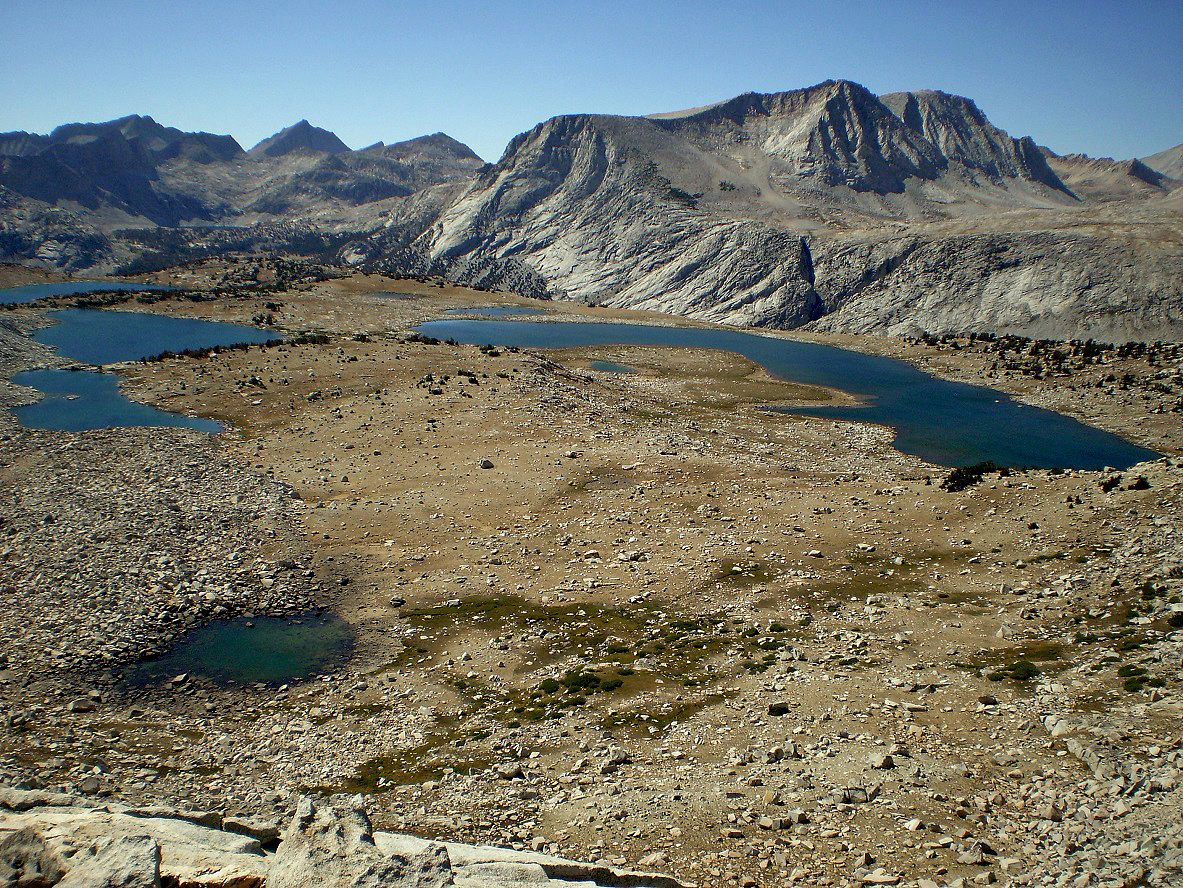
View from Roget Lake Pass over Puppet
Lake (right) and Roget, Lorraine, Paris, and Alsace Lakes (left, from closer to
further), with Merriam Peak (3994m) behind on the right.
Pilot Knob with Puppet Lake in the foreground.
Moon Lake.
Elba Lake.
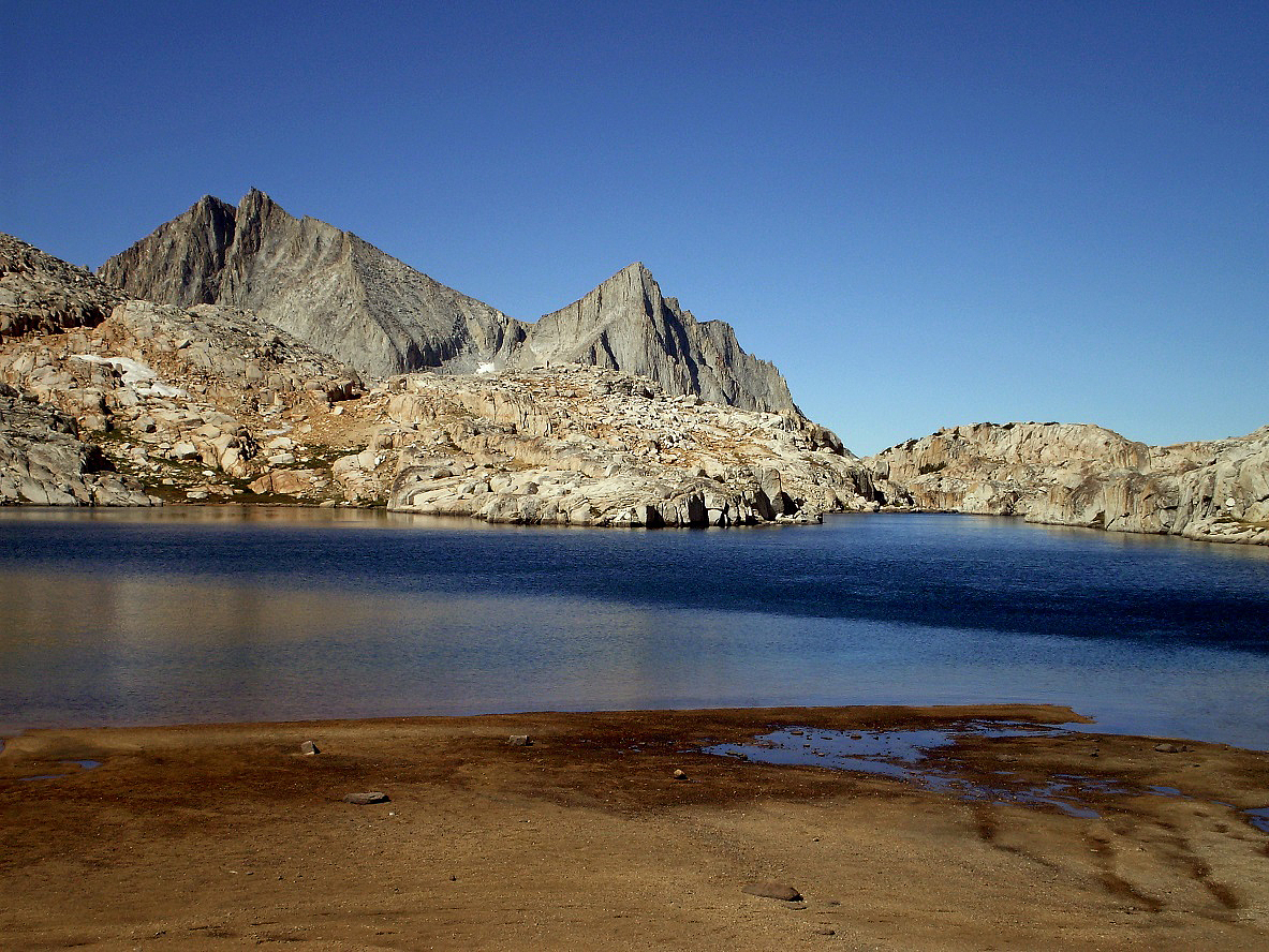
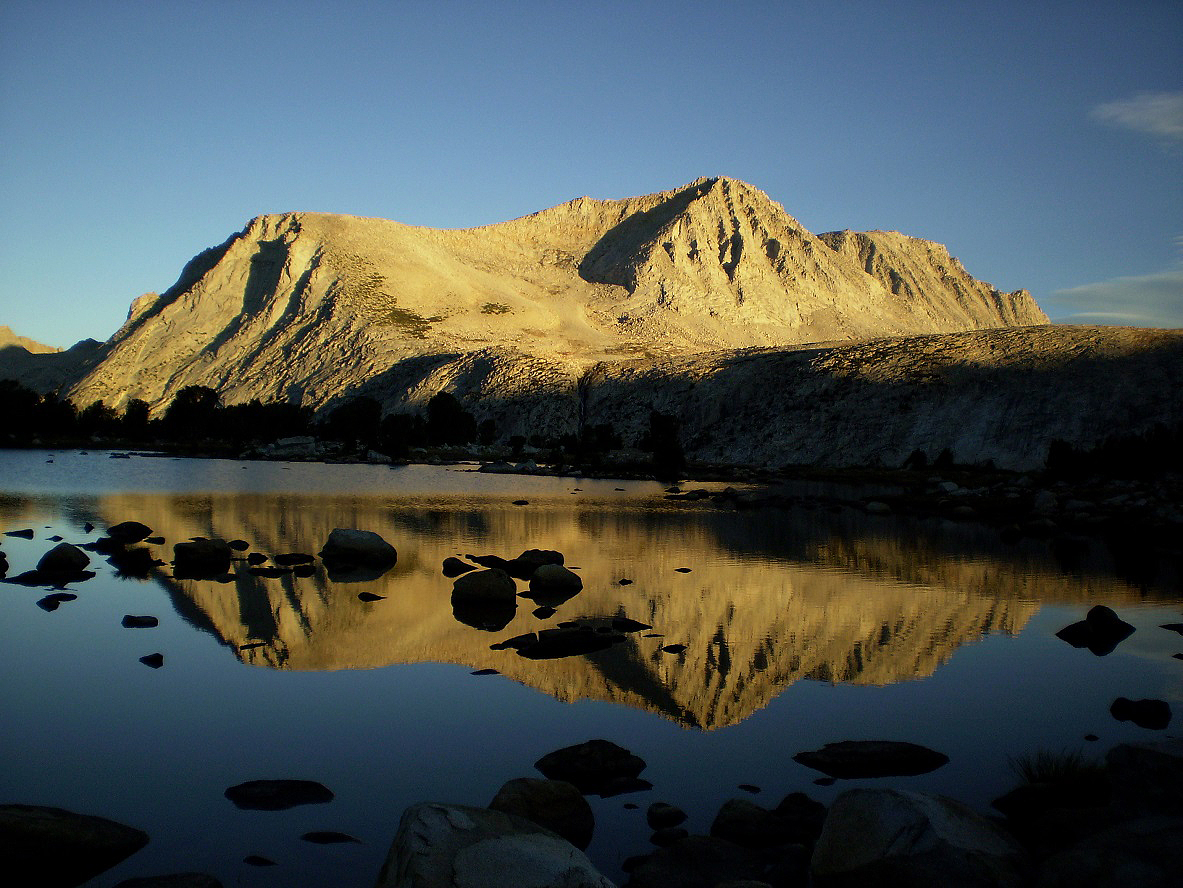
Morning reflection of Merriam Peak on Elba Lake.
Another view of Merriam Peak from below Elba Lake.
View toward the north at Pine Creek Pass, with Bear Creek
Spire in the background (center-left).
Again the striped mountain above
Honeymoon Lake, while descending into Pine Creek Basin. The hiking loop is
almost complete.
Upper Pine Lake.
Pine Lake again.
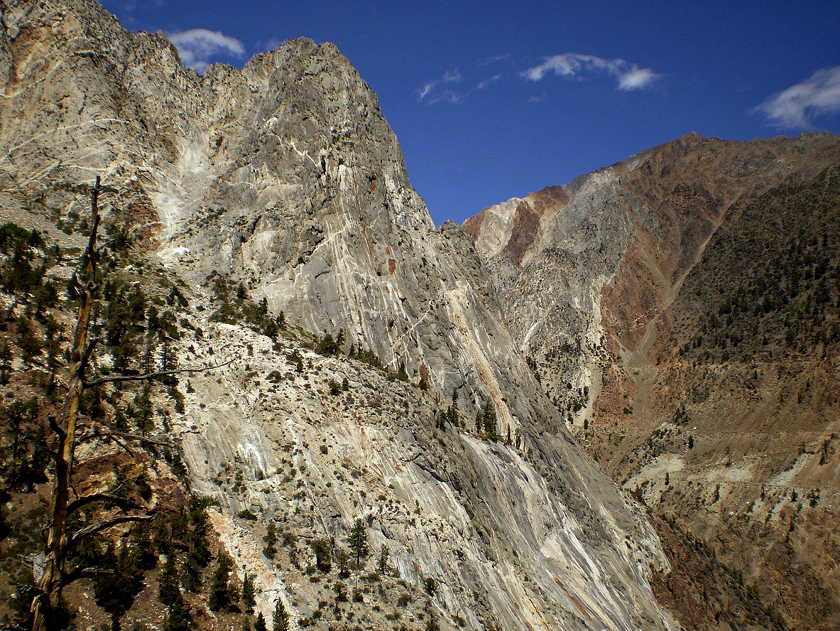
Descent into Pine Creek Canyon, with the White Mountains in the
background and the Owens Valley in-between.
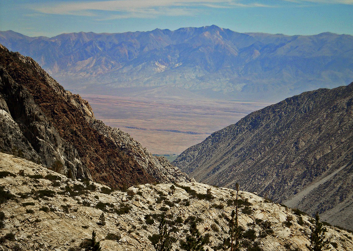
Last view of Pine Creek Canyon while returning to my
car.
![]()