Yushan
National Park, Taiwan:
Siangyang Visitor Center to Dongpu (November
8-14) ![]()
Return
to main Taiwan 2015 webpage
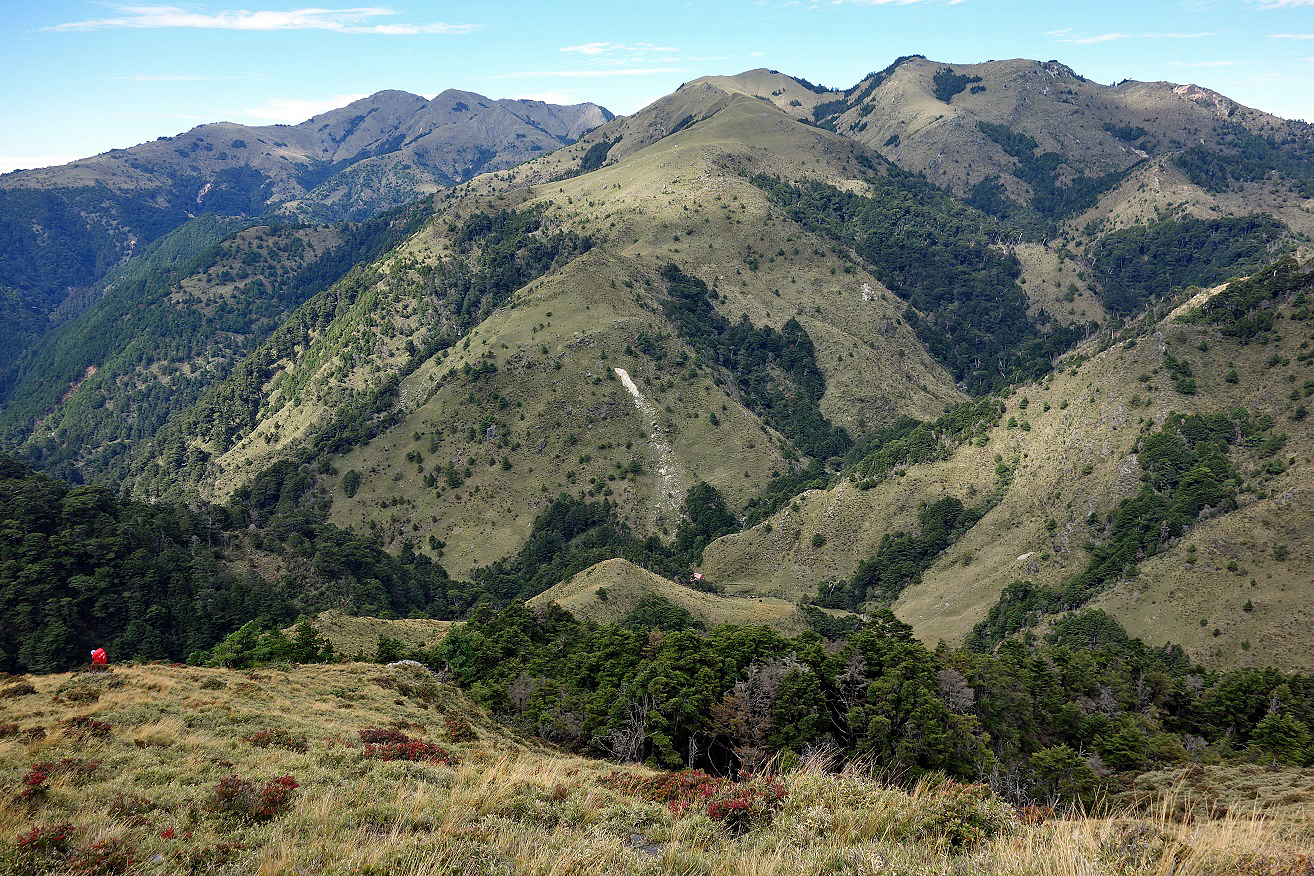
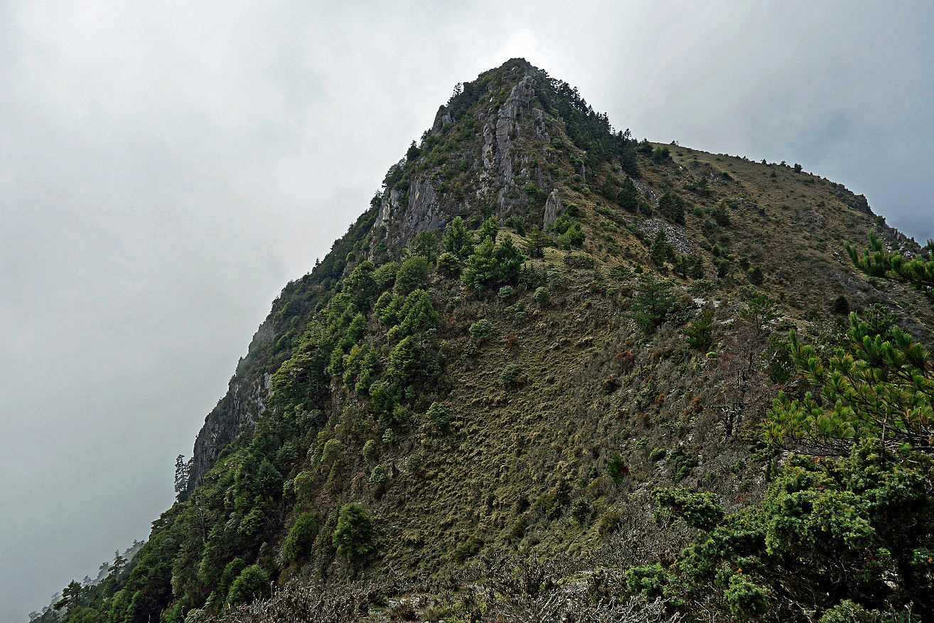
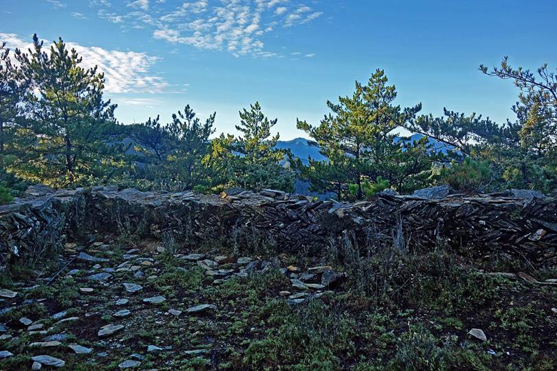
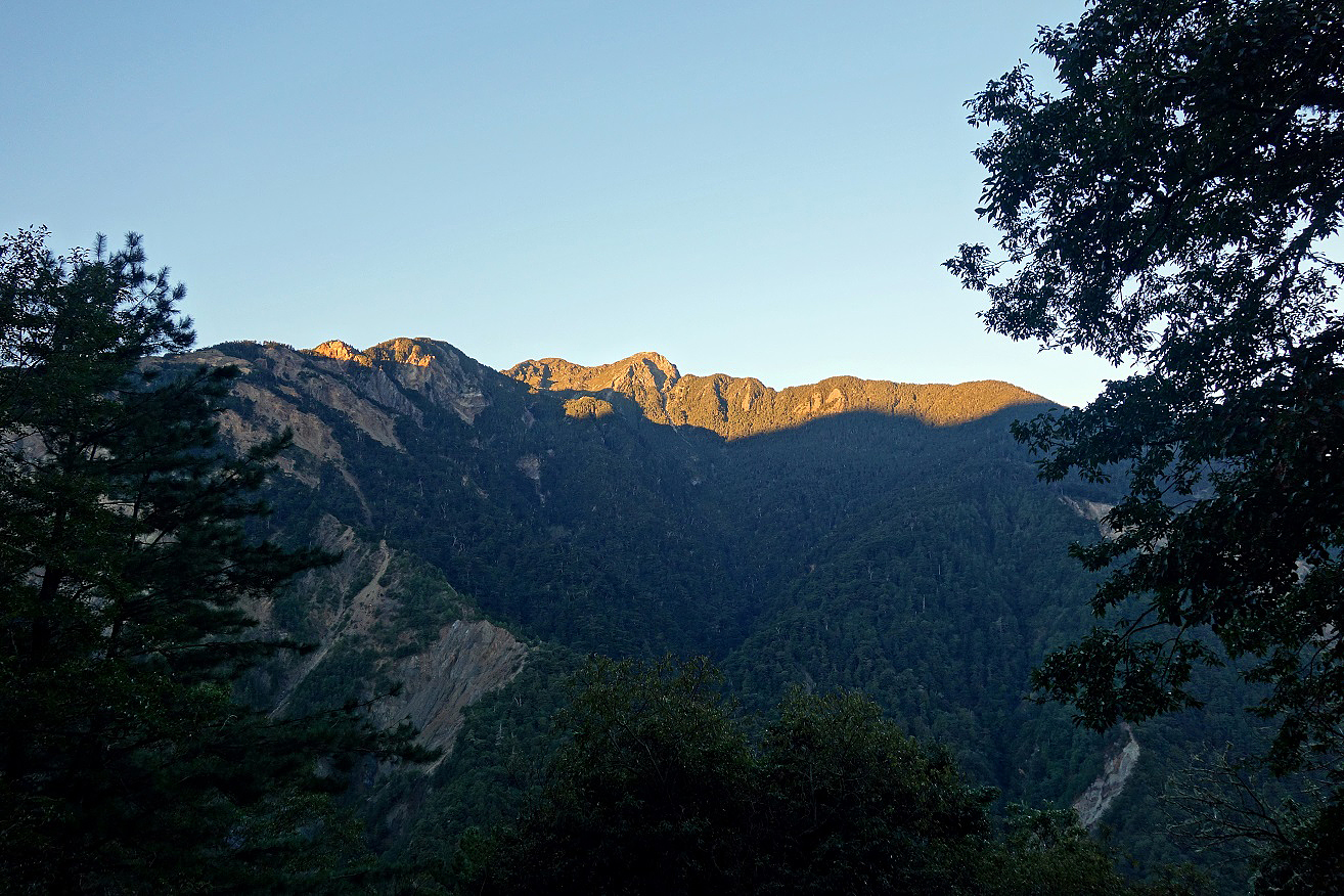
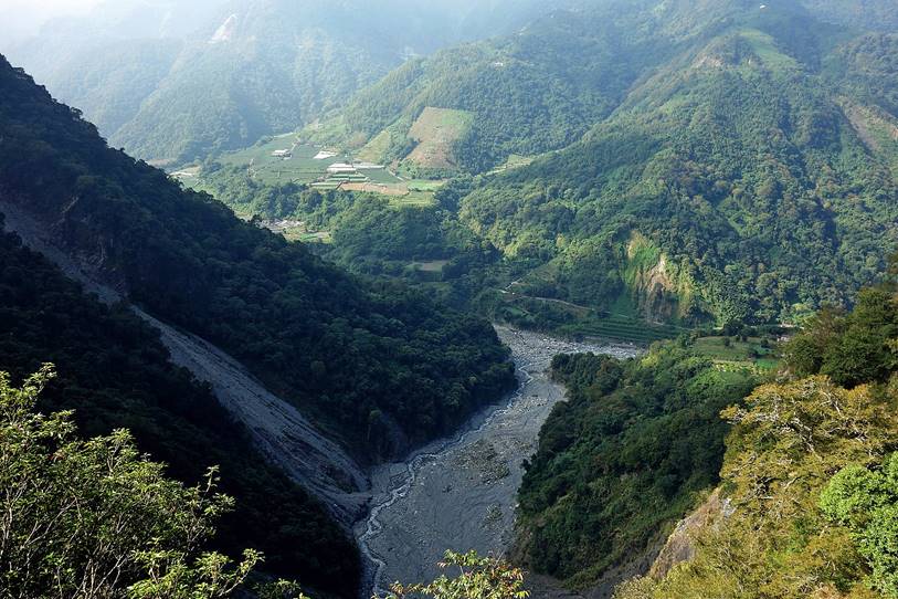
Location of Yushan
National Park and trek itinerary in green.
|
|
|
|
|
|
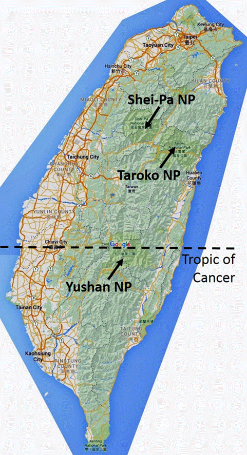

Yushan
National Park is located in the southern half of Taiwan. It is crossed by
the Tropic of Cancer. It is the largest national parks in Taiwan. It contains
over 30 peaks above 3000m, including Taiwan‛s highest, Yu Shan or Snow
Mountain (3952m).
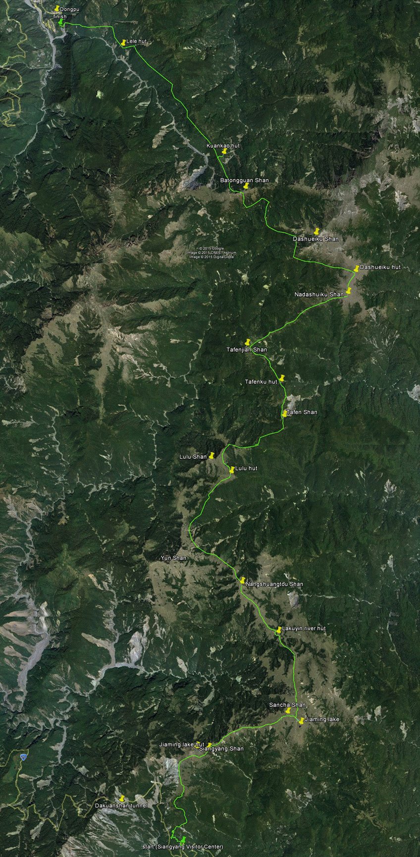
This trek starts from Siangyang Visitor Center on the narrow, scenic South
Cross-Island Highway and ends at Dongpu a village
best known in Taiwan for its hot springs. It follows the so-called Southern
Section Two Trail. It is 65km-long and took me 43h of effective hiking spread
over 7 days. I was helped by Ming Huang, an excellent guide/porter from Dongpu. Ming is a member of the Bunun aboriginal tribe,
one of the three high-mountain aboriginal tribes in Taiwan. He had been provided
by Mr. Chiang-ching Chuan (全蔣清):
- +886-0921-486-289,
- diandian0583@gmail.com, https://www.facebook.com/people/%E5%85%A8%E8%94%A3%E6%B8%85/100003768951071.
Although Ming did not
speak English, I enjoyed my time with him.
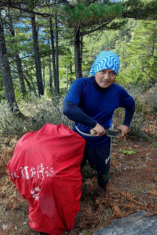
Ming Huang:
Day 1: Siangyang Visitor Center to Jiaming Lake Cabin
Day 1 was an easy day along a good trail hiked by many Taiwanese, who
usually take 2 to 4 days to hike to Jiaming Lake and
return to the Siangyang
Visitor Center. As a result, the large Jiaming Lake Cabin
(hut) located 4.5 km before Jiaming Lake is often
full and noisy.
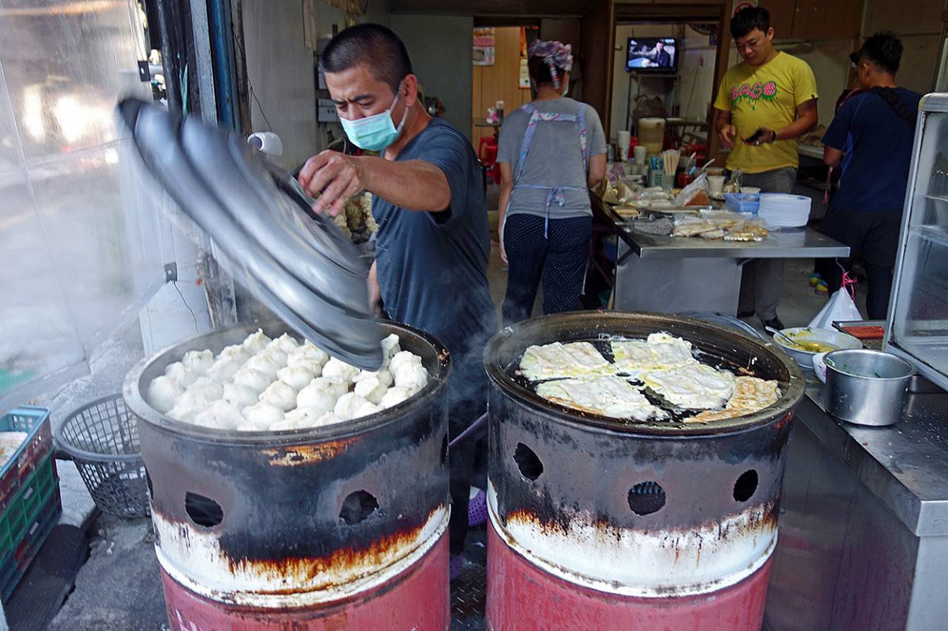
Getting a
hearty breakfast in Kuanshan village at the entrance
of the South Cross-Island Highway.
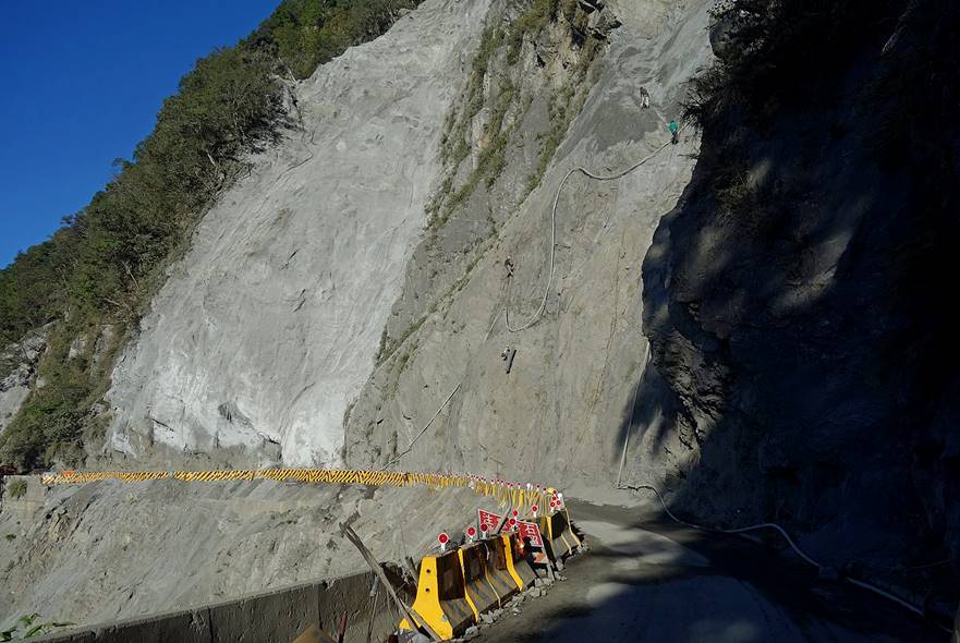
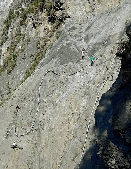
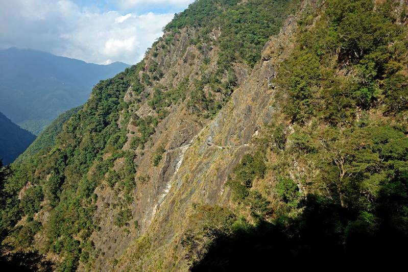
Dangerous
work to repair landslides caused by previous typhoons along the South
Cross-Island Highway.
|
|
|
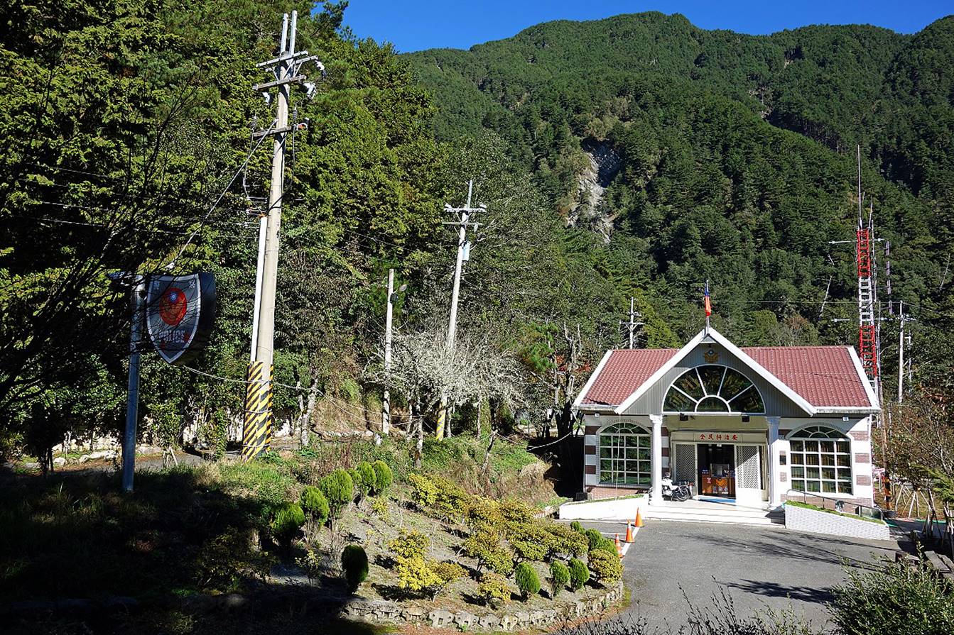
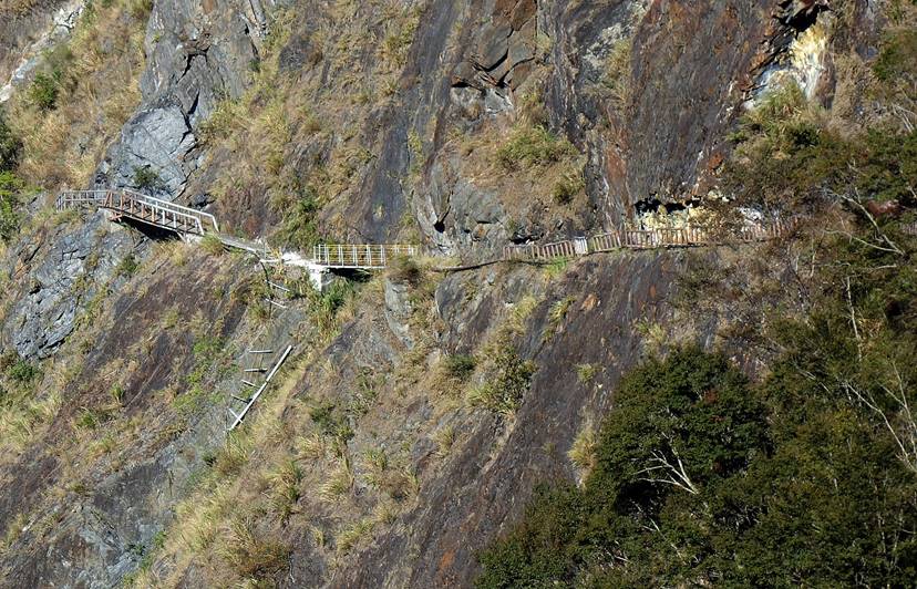
Start of the
trail at Siangyang Visitor Center. Permits have to be
shown at the police station.
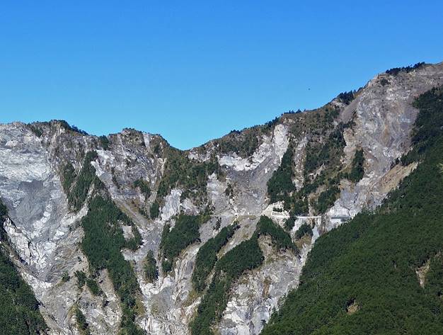
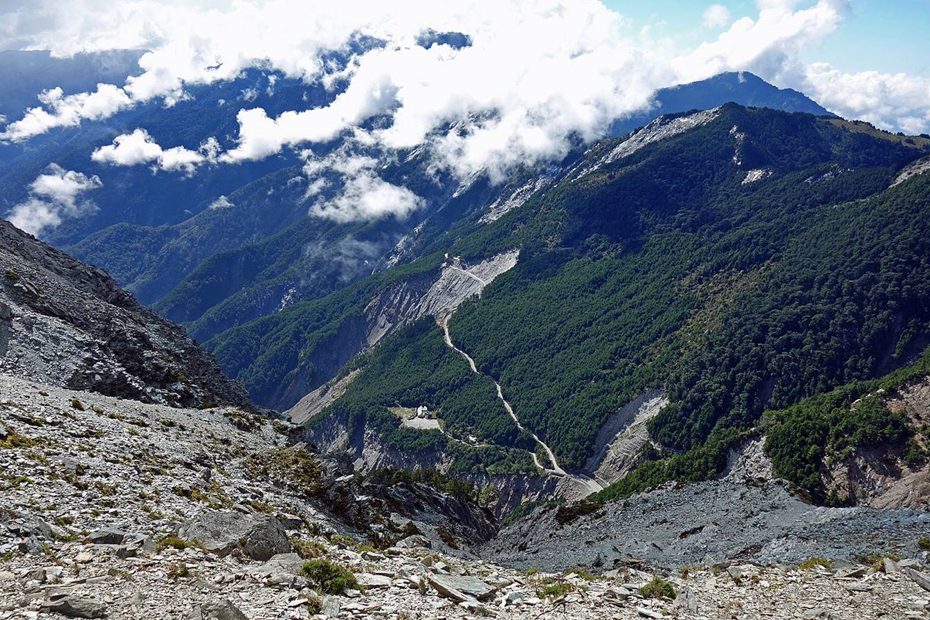
View of the South Cross-Island Highway from the trail (in the upper right
corner of the photo on the left). The Dakuanshan
tunnel is barely visible in the middle of the photo on the right. Note the
large number of landslides. They give a sense of how difficult it is to
maintain the South Cross-Island Highway.
|
|
|
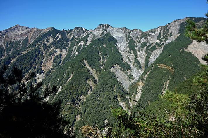
Scenery along
the lower section of the trail.
|
|
|
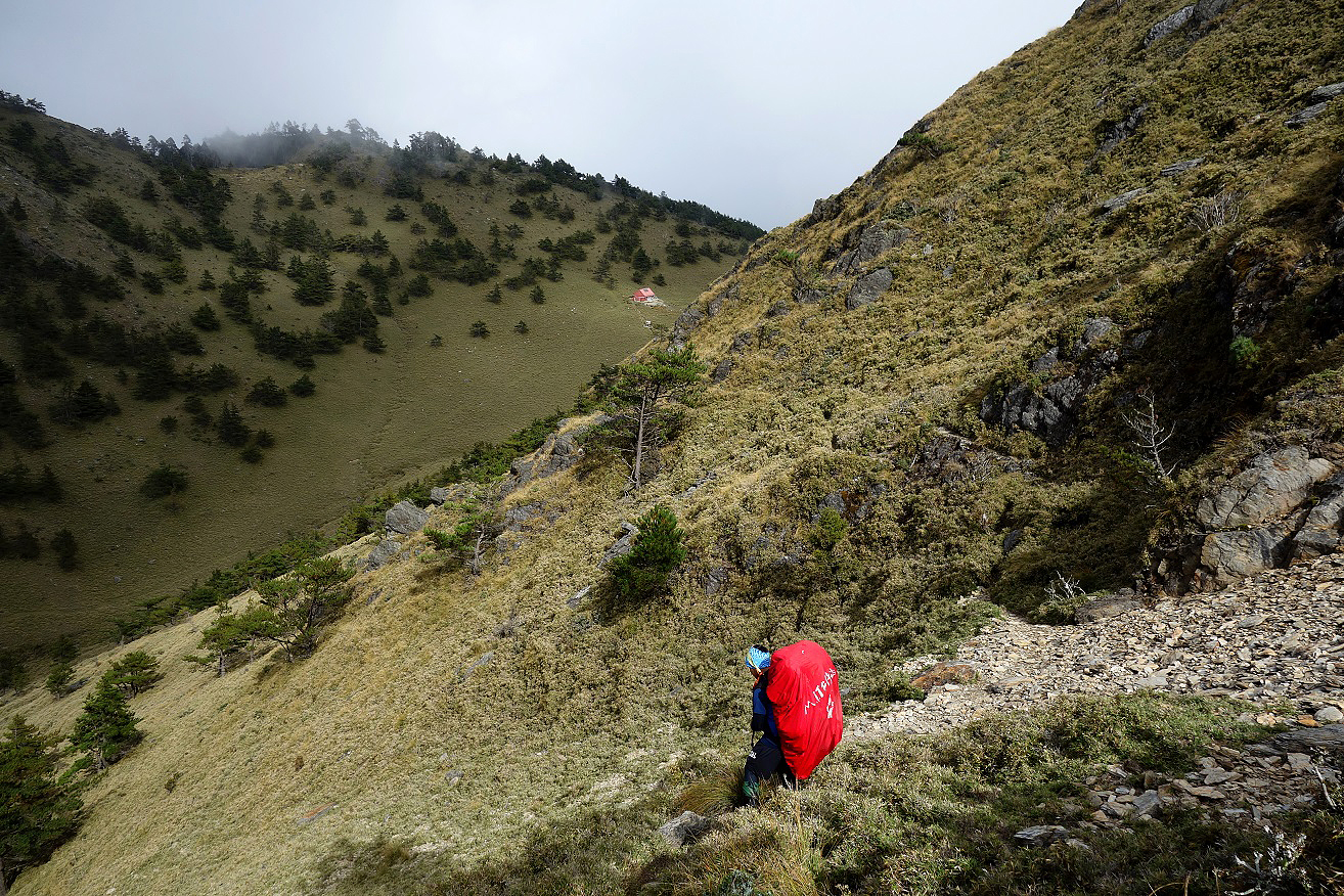
Reaching the
top of a large landslide above the South Cross-Island Highway.


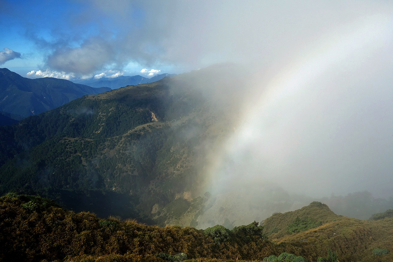
View toward
the west.
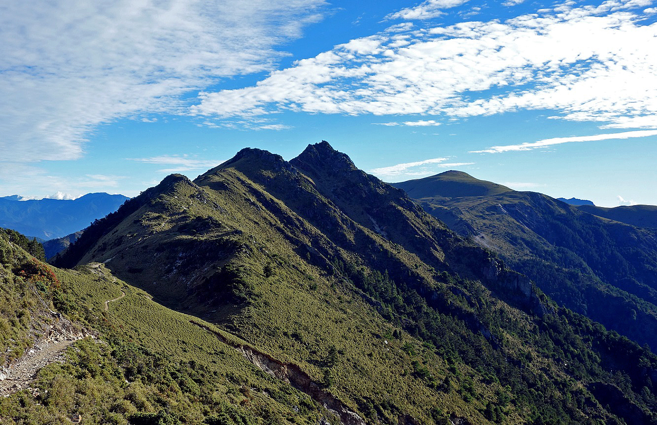
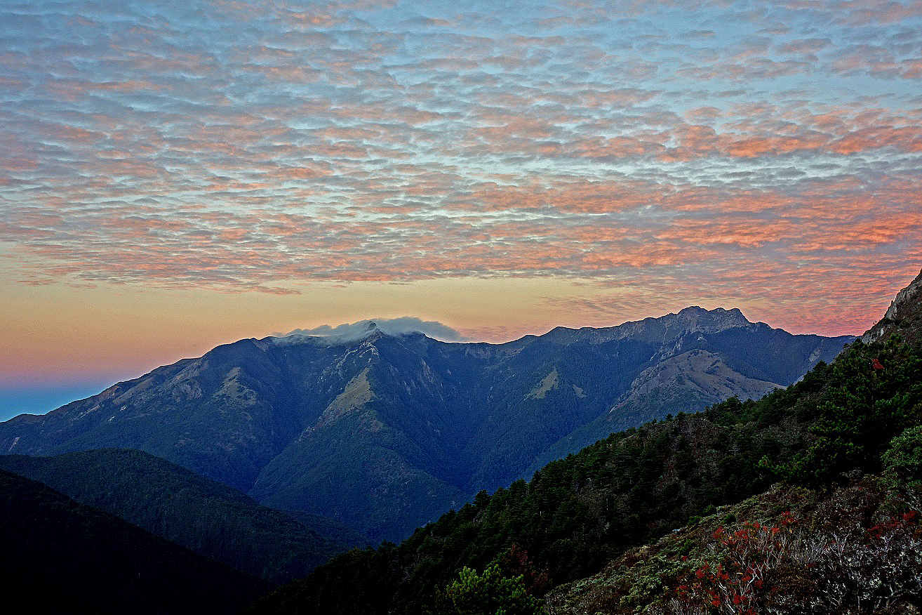
View of Siangyang Shan (3602m). Jiaming Lake Cabin is located slightly beyond on the
southern (right) side of the ridge between Siangyang
Shan and Sancha Shan. Jiaming
Lake is 4.5km further away from the cabin.
View toward
the south-east from Jiaming Lake Cabin.
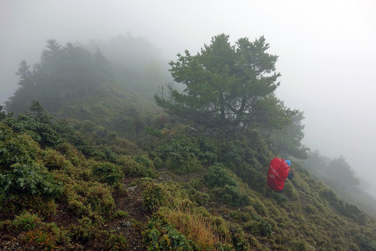
Day 2: Jiaming Lake Cabin to Lakuyin River Cabin
Another easy
day along a good trail.
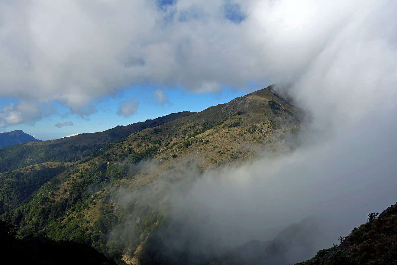
On the ridge
between Siangyang Shan and Sancha
Shan, looking toward Sancha Shan.
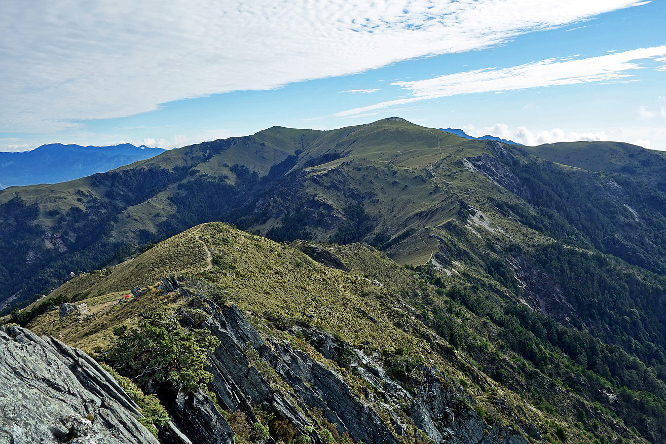
Looking back
toward Siangyang Shan, with Jiaming
Lake Cabin visible at the center of the photo.
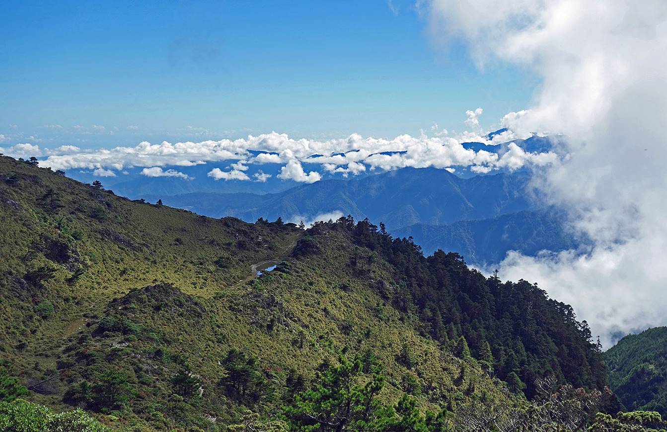
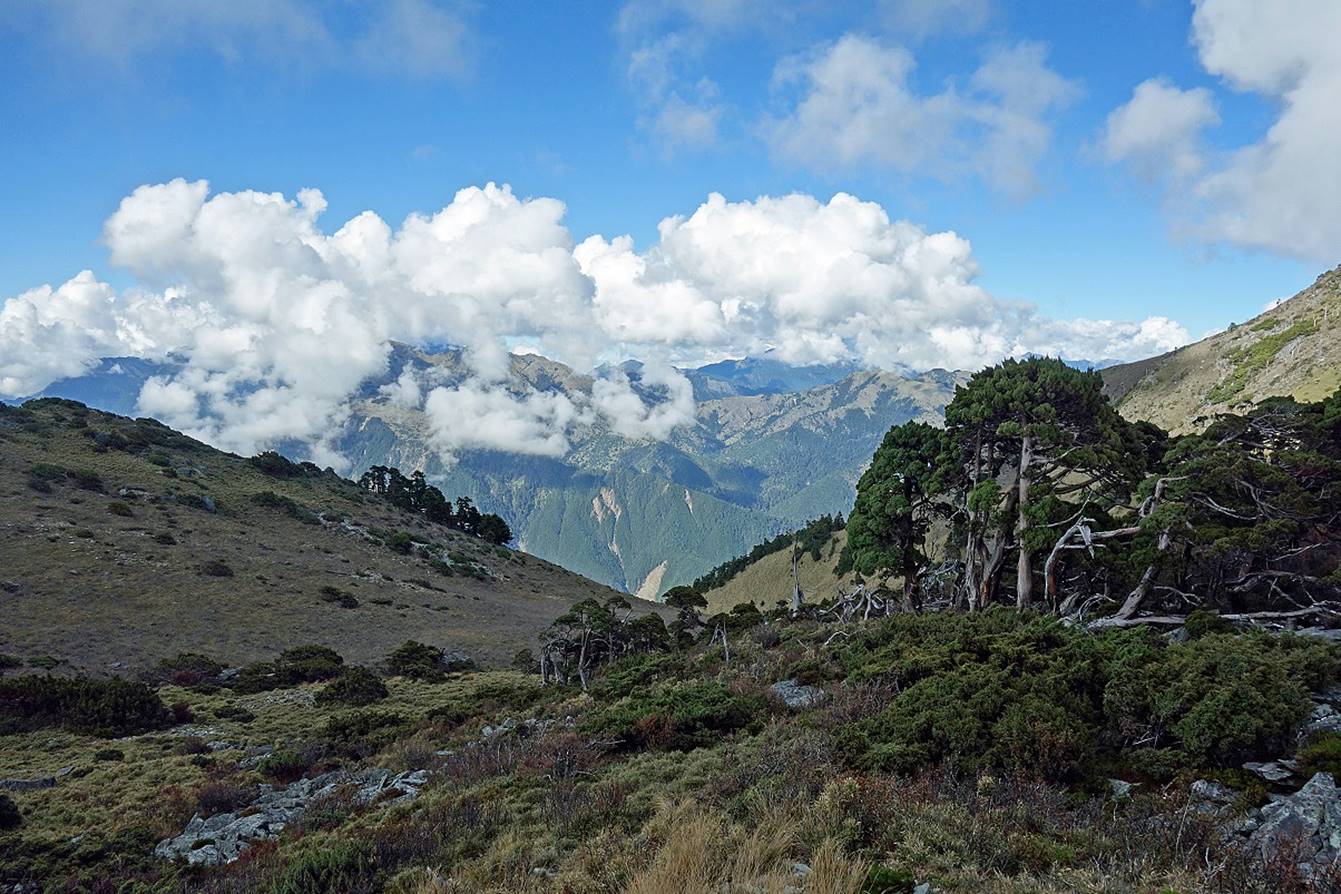
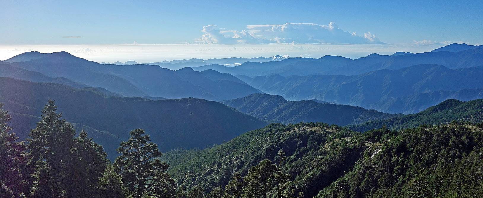
View toward the north from the ridge, a
preview of the ups and downs of the coming days.
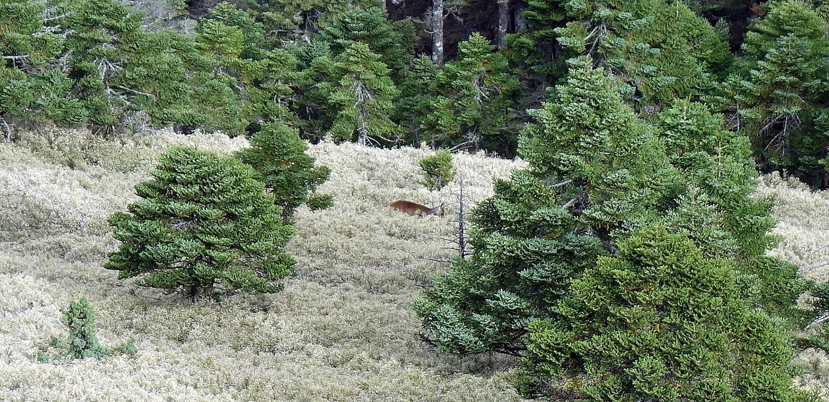
Sight of a Formosan barking deer near
the ridge.
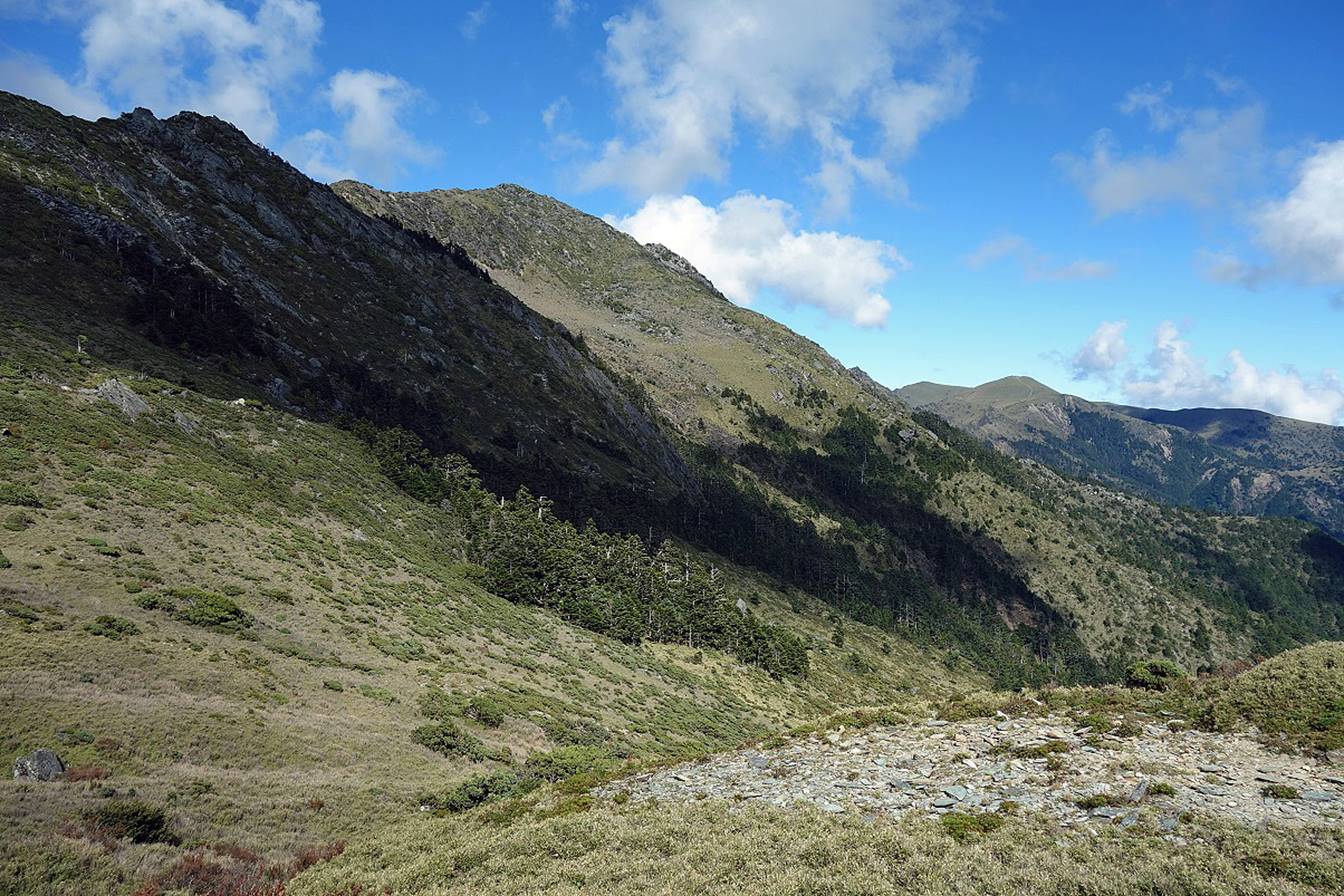
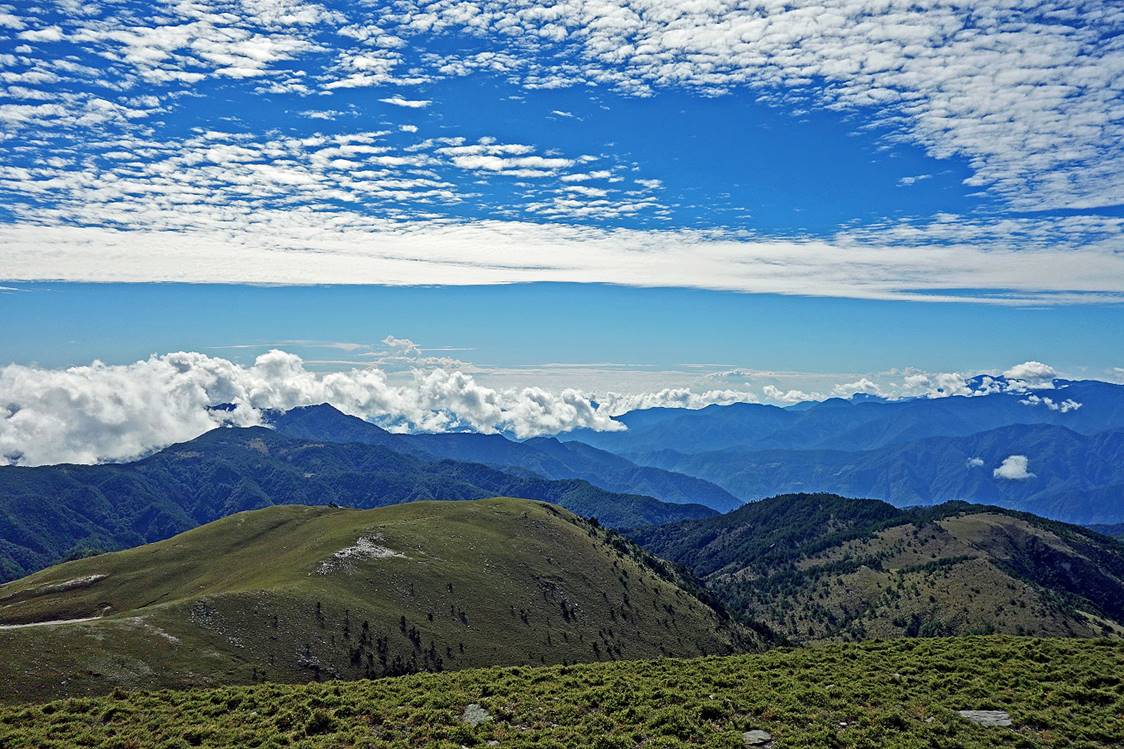
View toward the south from the ridge.
Marker at the summit of
Sancha Shan (3496m) and view from the summit.
|
|
|

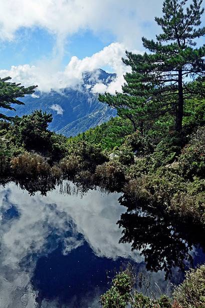
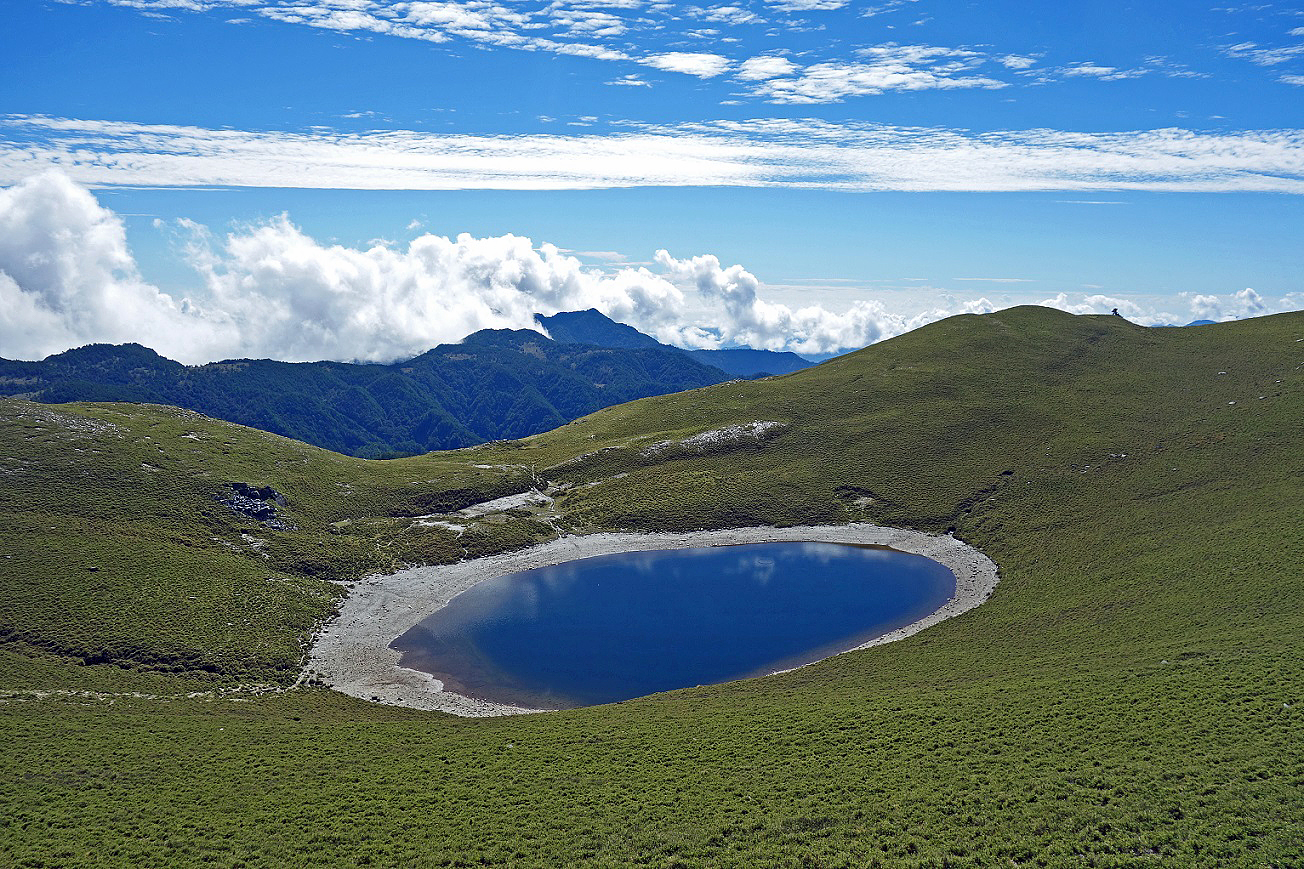
Jiaming Lake is located
a short distance below the summit of Sancha Shan on its southern slope.
Beyond Jiaming Lake we met no one for more than 4 days (until we
got close to Dongpu), except two Taiwanese hikers who
were following the same trail as us on the same schedule.
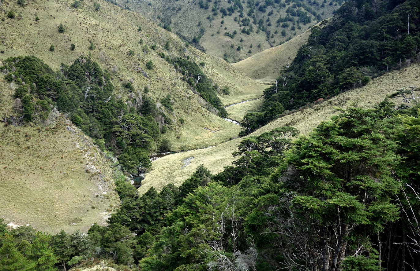
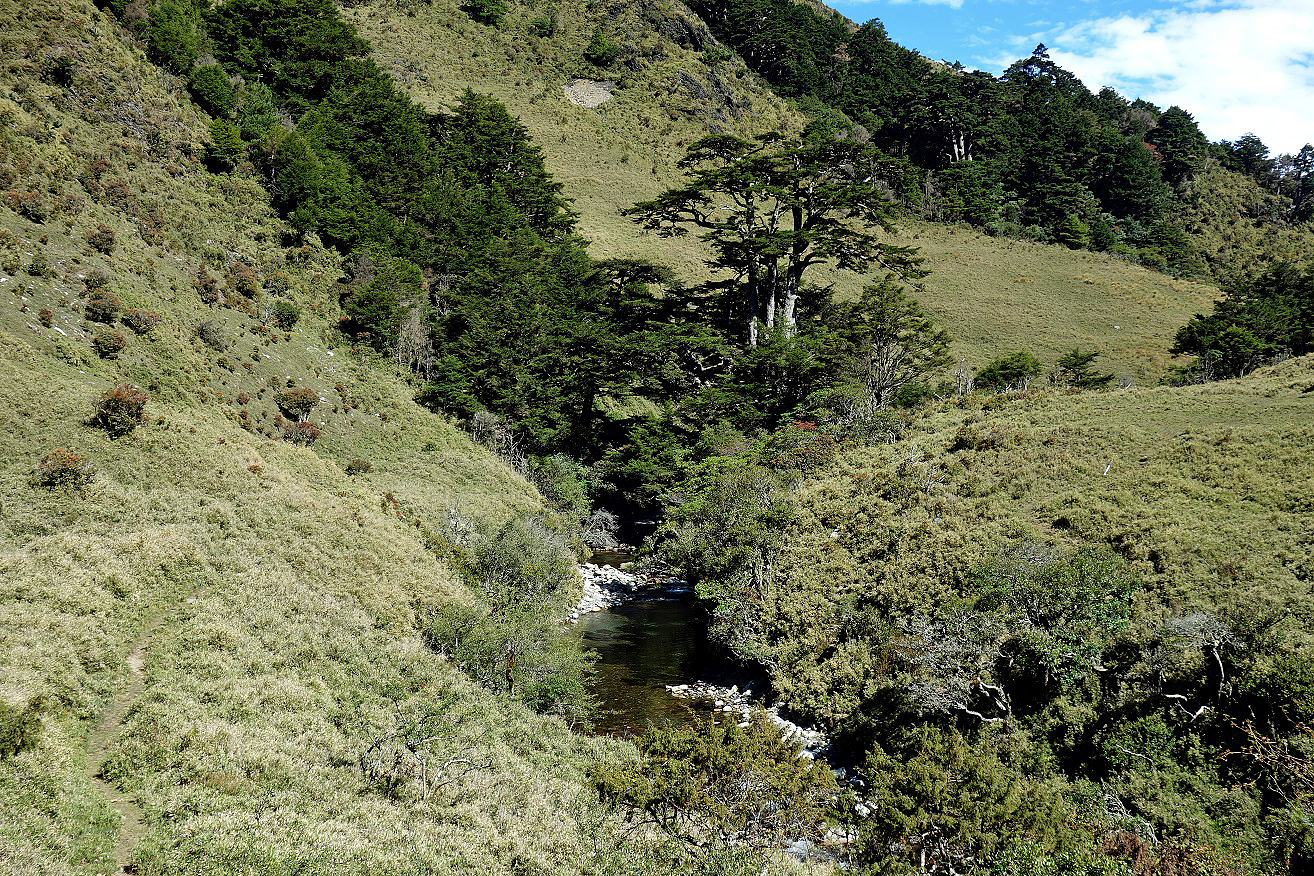
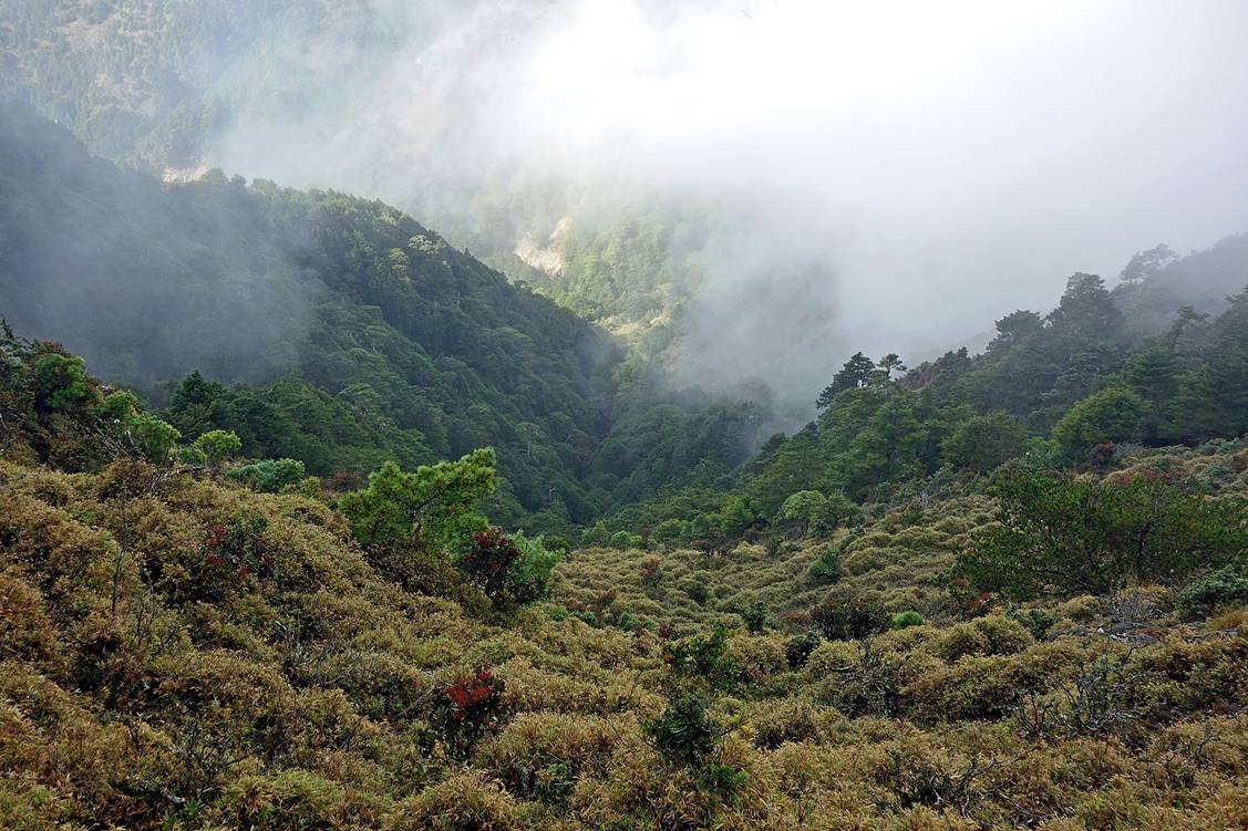
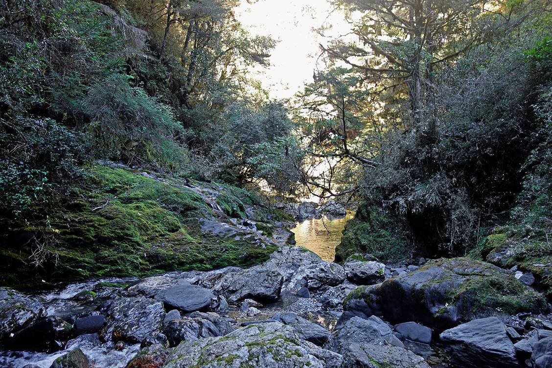
During the descent toward Lakuyin River Cabin.
Lakuyin River.
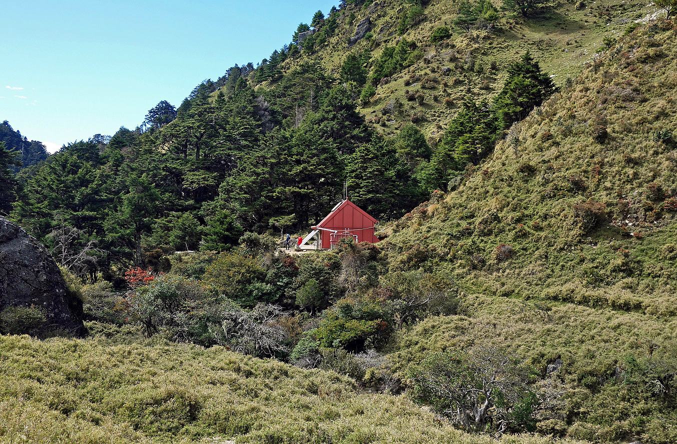
Lakuyin River Cabin (with Ming at its
doorstep).
Tributary of Lakuyin
River behind the cabin.
View of the valley
of Lakuyin River from the cabin in the late
afternoon.
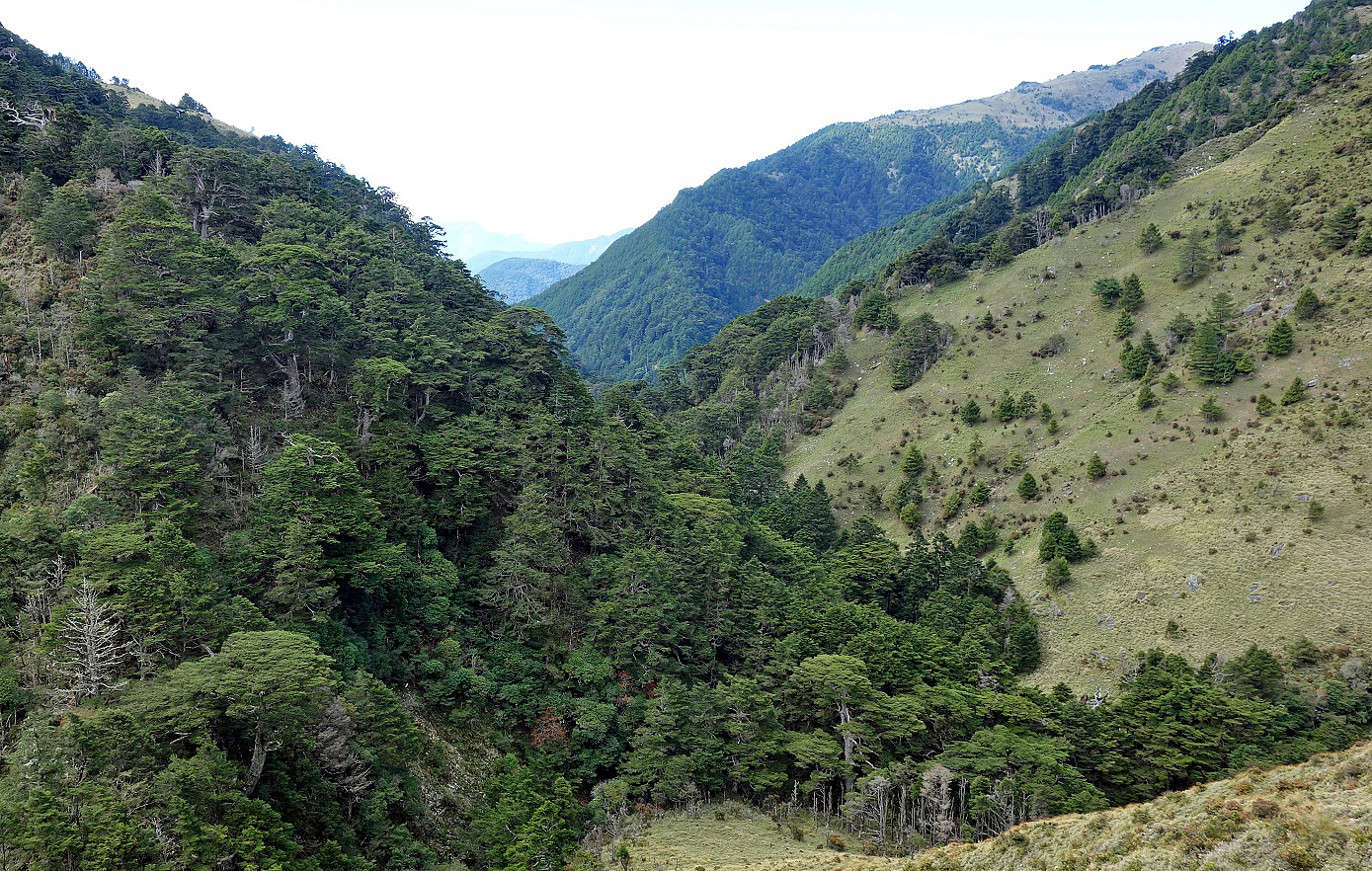
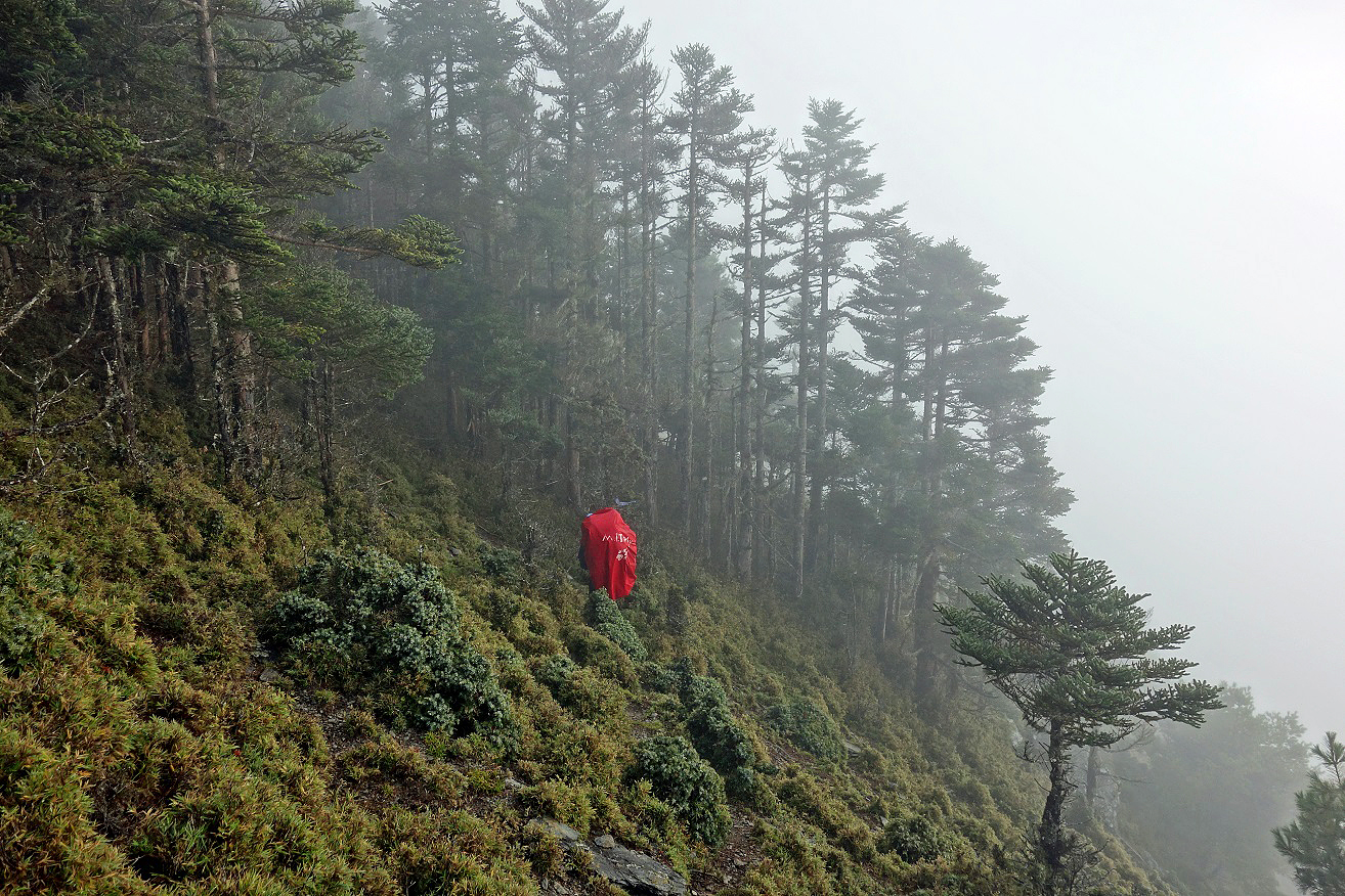
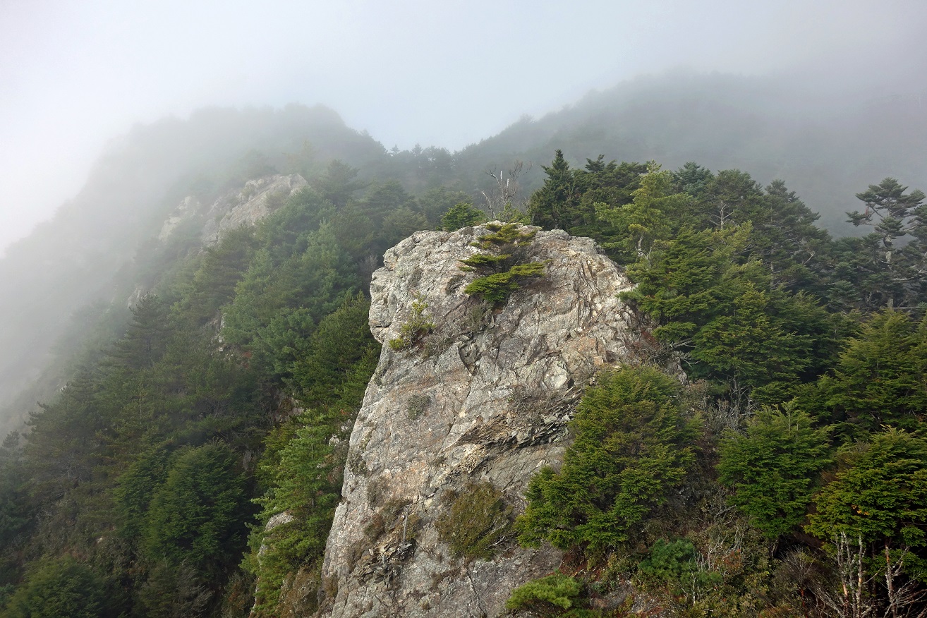
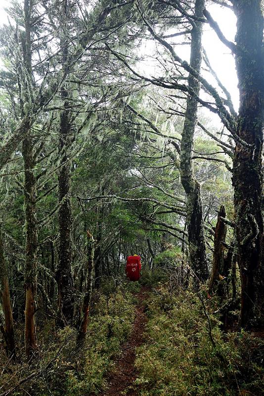
Day 3: Lakuyin River Cabin to Lulu Valley
Cabin
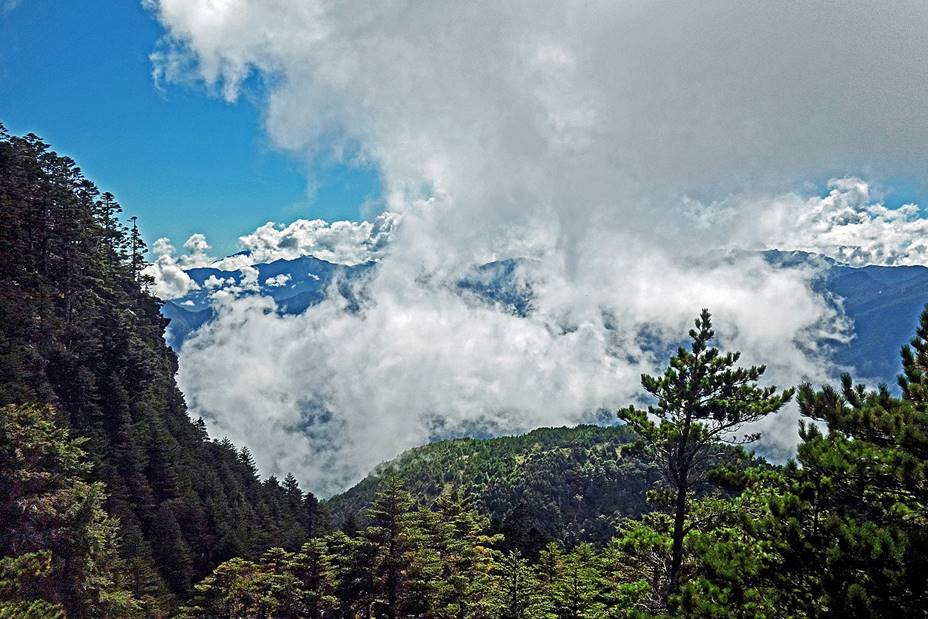
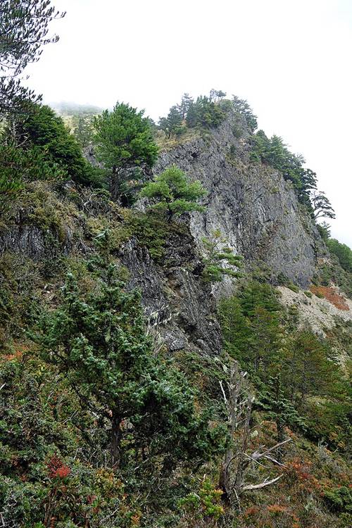
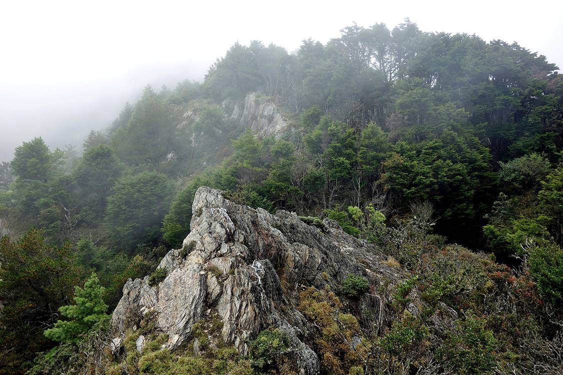
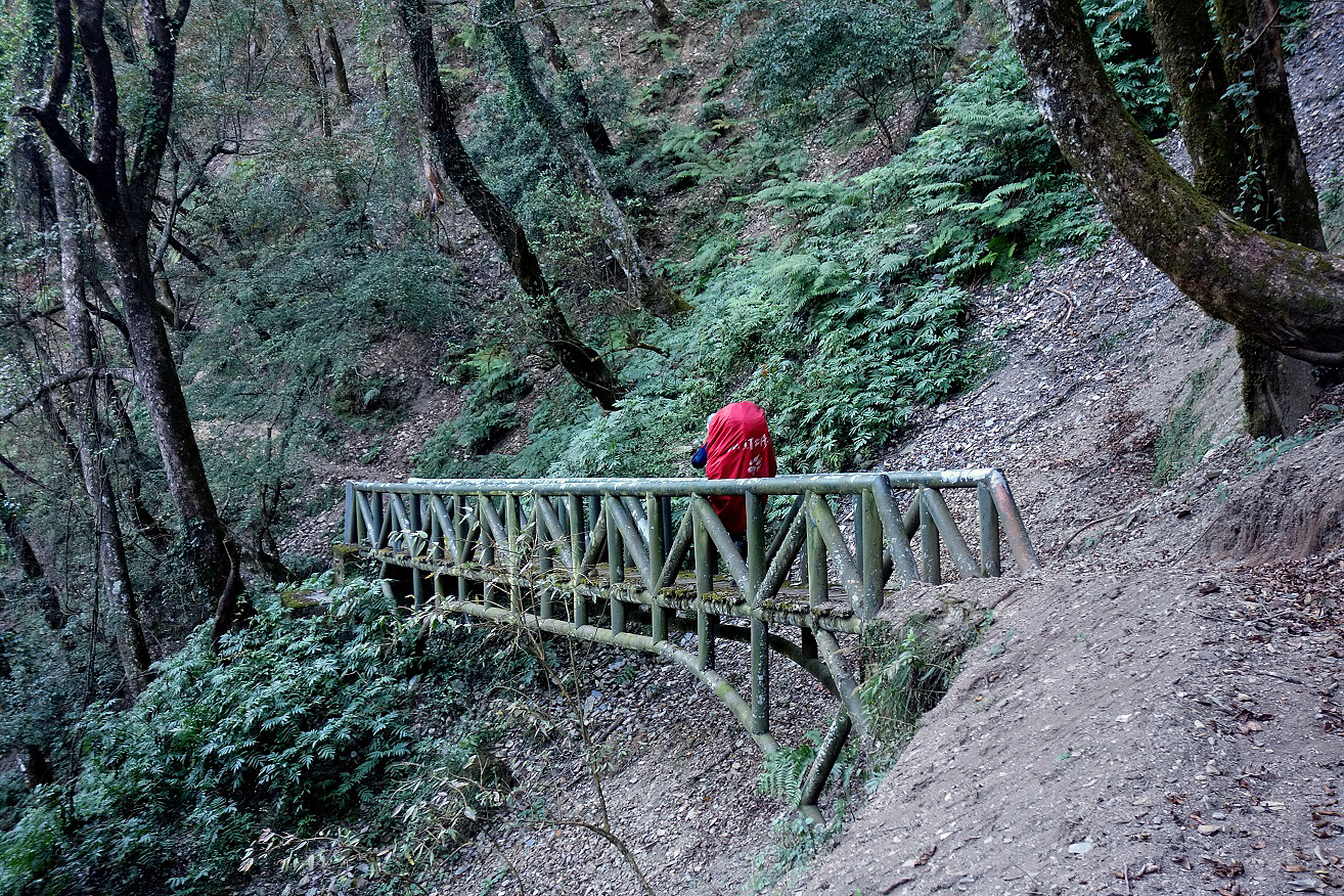
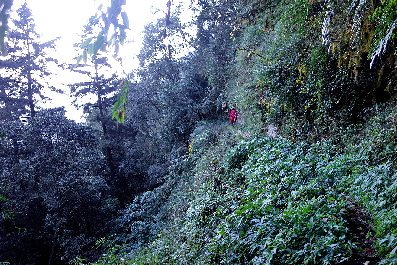
The next two days were much tougher, along a steep and sometimes barely
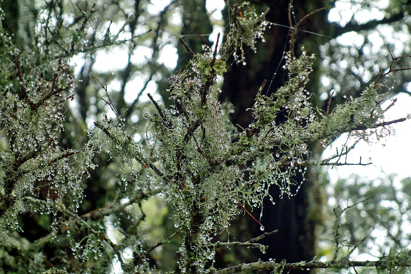
visible trail. In addition, the weather deteriorated. We had intervals of rain
and visibility was limited.
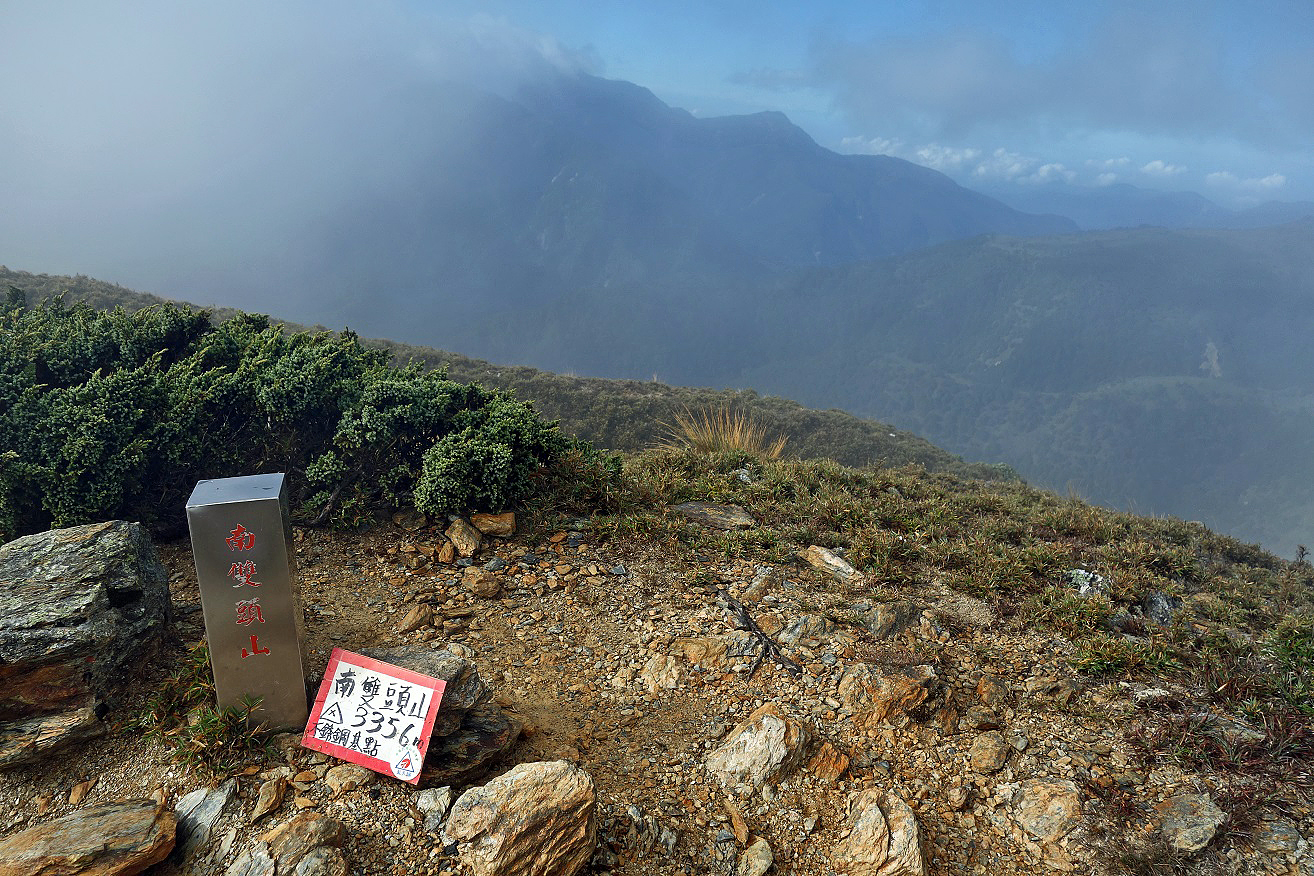
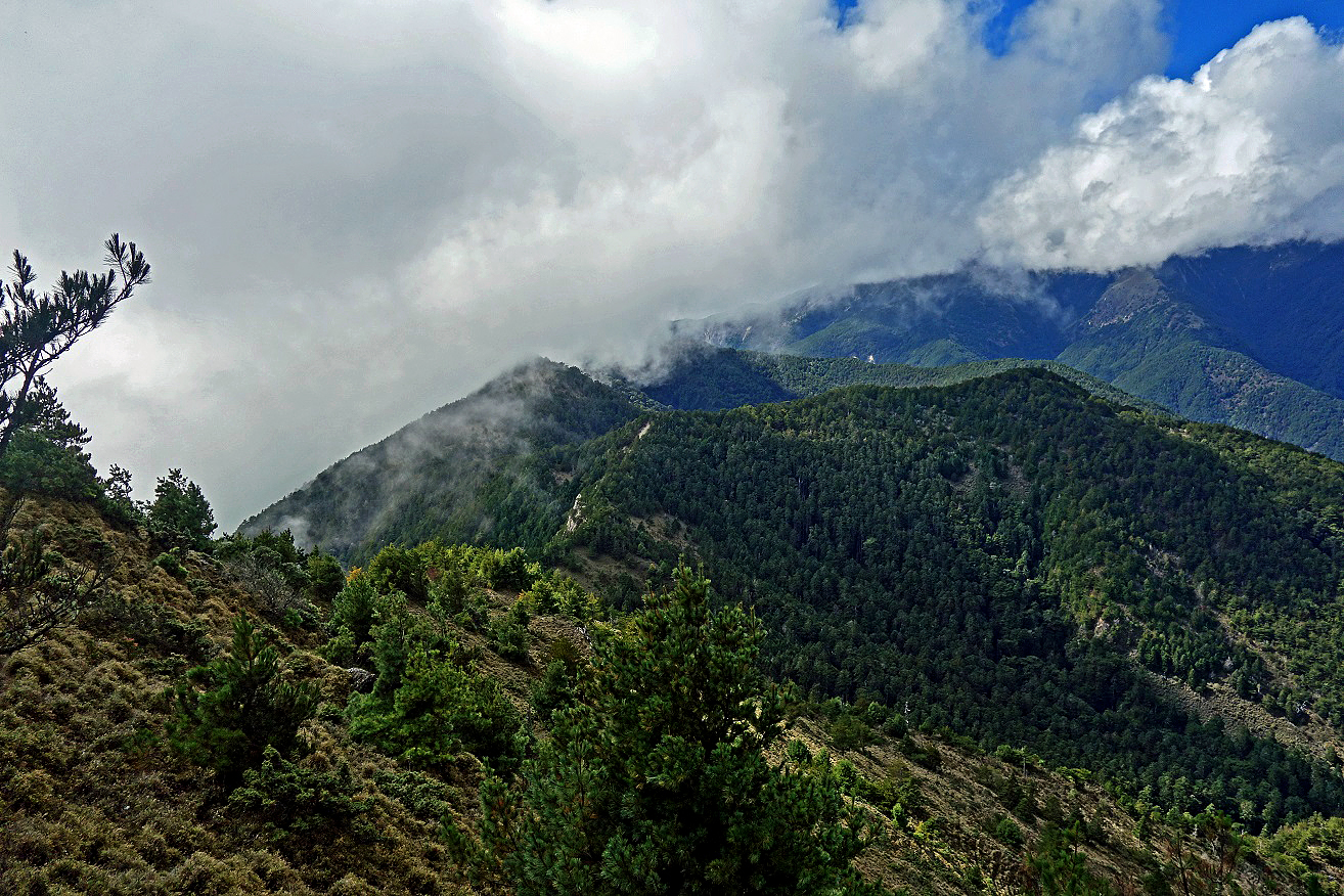
Marker of the summit of Nanshuangtou Shan Eastern Peak (3356m).
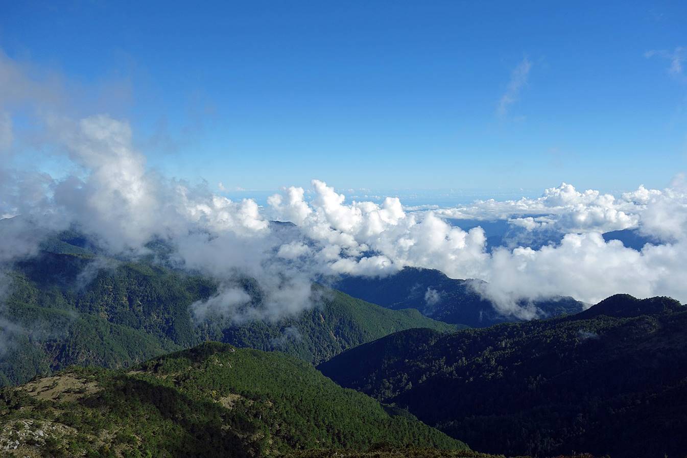
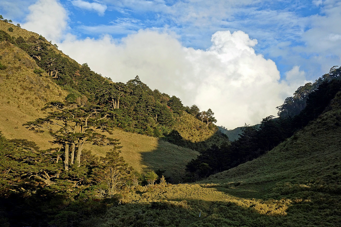
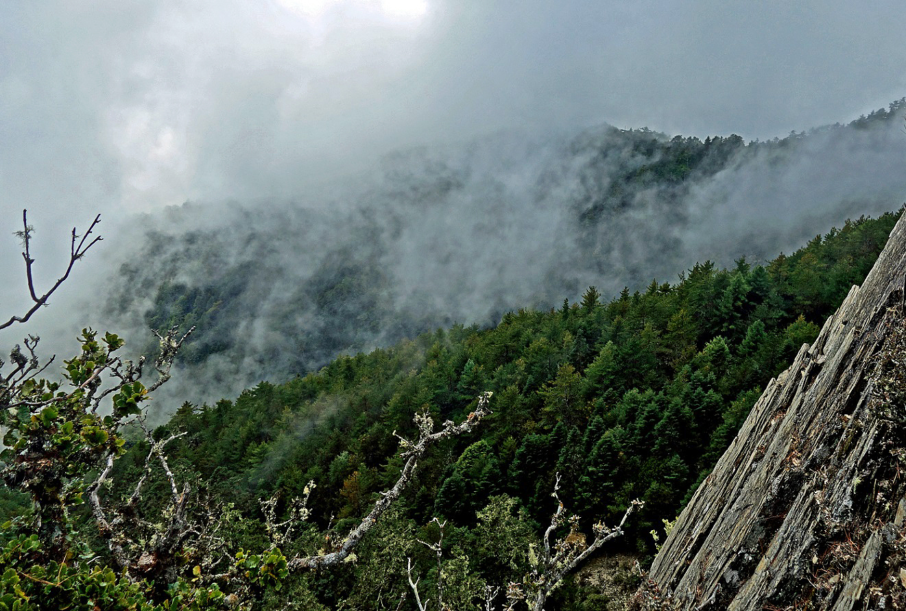
A mixture of
blue sky and low clouds.
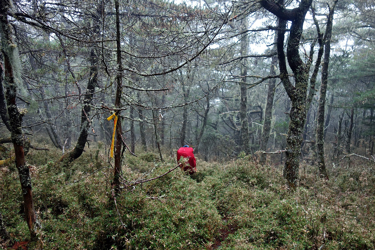
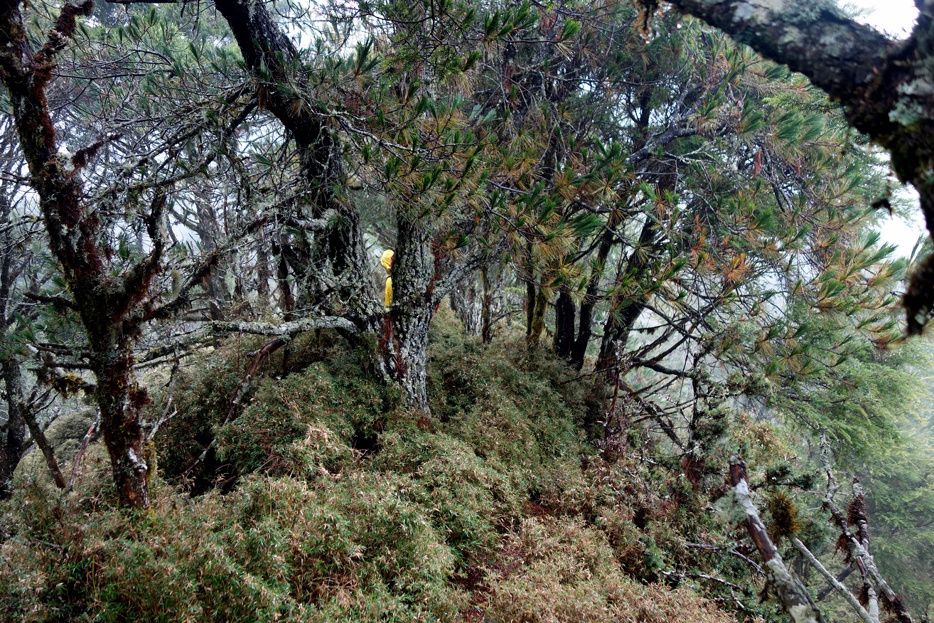
Along the trail. The terrain was often steep and densely covered with
small bamboos. Trail ribbons left by members of hiking clubs, like the yellow
ribbon in the third photo below, helped following the trail (when they were not
misplaced!).
|
|
|
|
|
|
Reaching Lulu Valley Cabin.
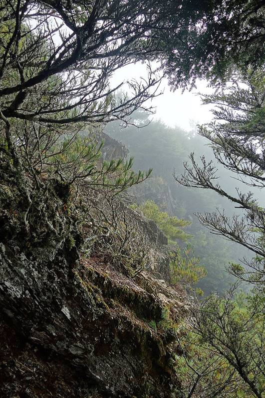
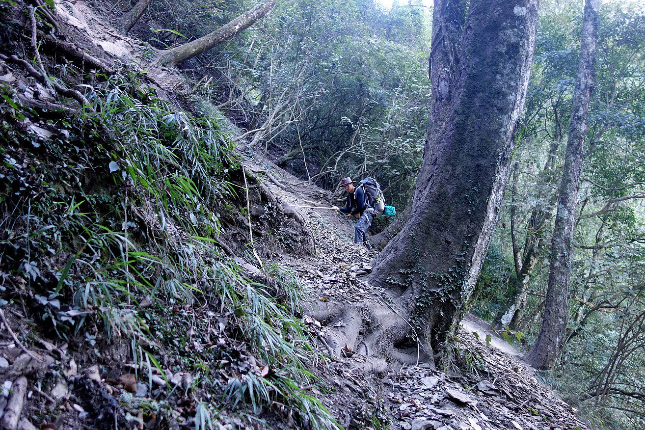
Day 4: Lulu Valley Cabin to Tafenku
Cabin
Another hard day on steep terrain with poor
weather.
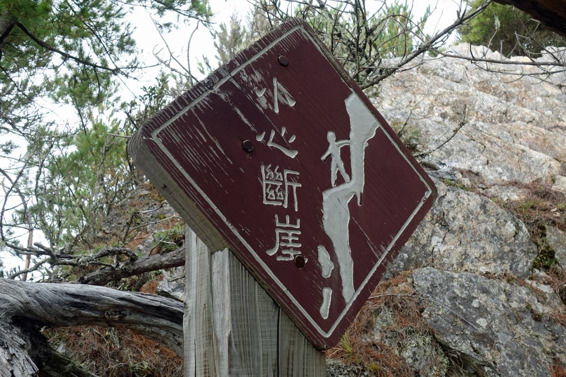
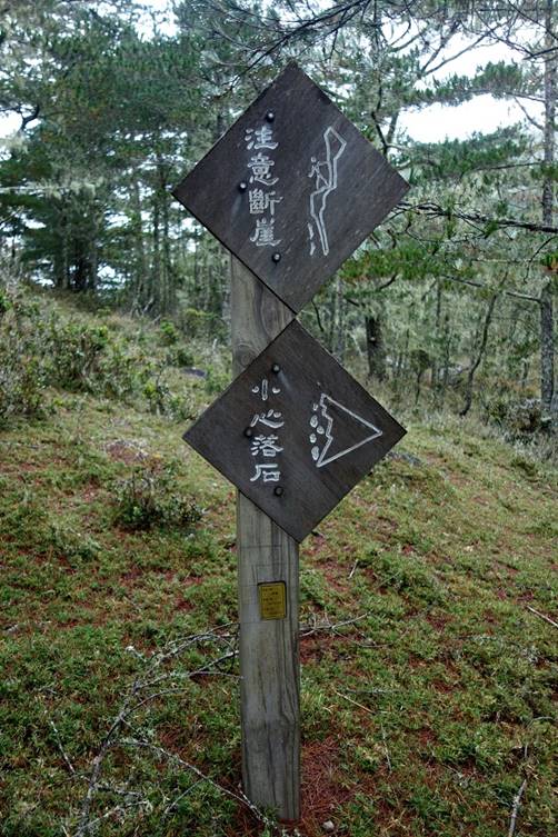
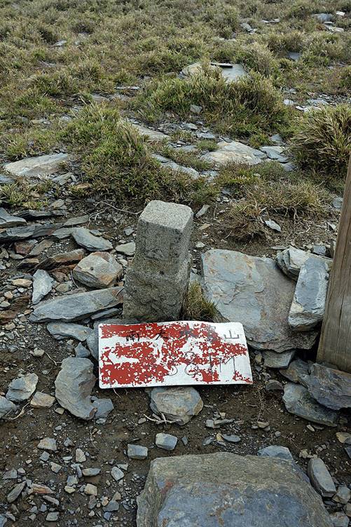
Several sections of the trail were on
steep crumbly rock. We were warned by not-very-helpful signs like the ones
below.
|
|
|
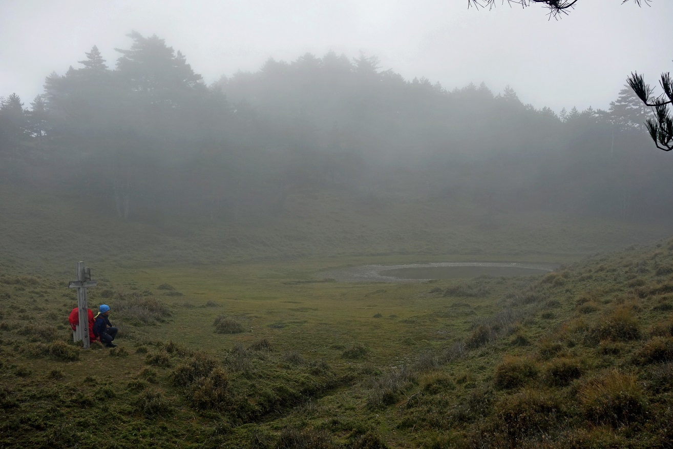
Resting at a small pond below Tafen Shan.
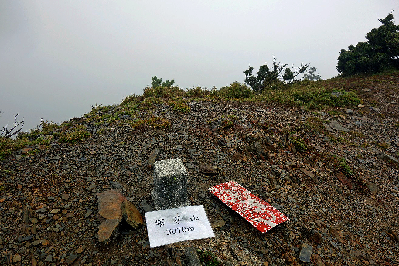
Marker of Tafen
Shan summit (3070m).
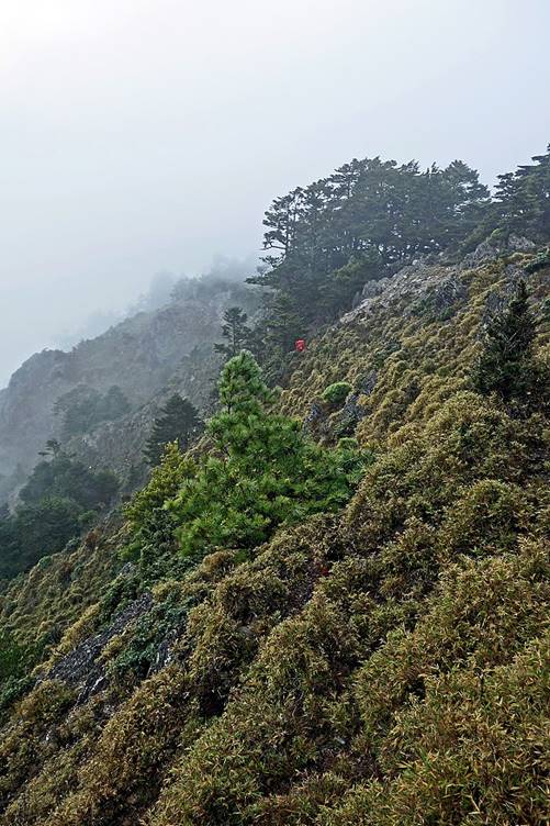
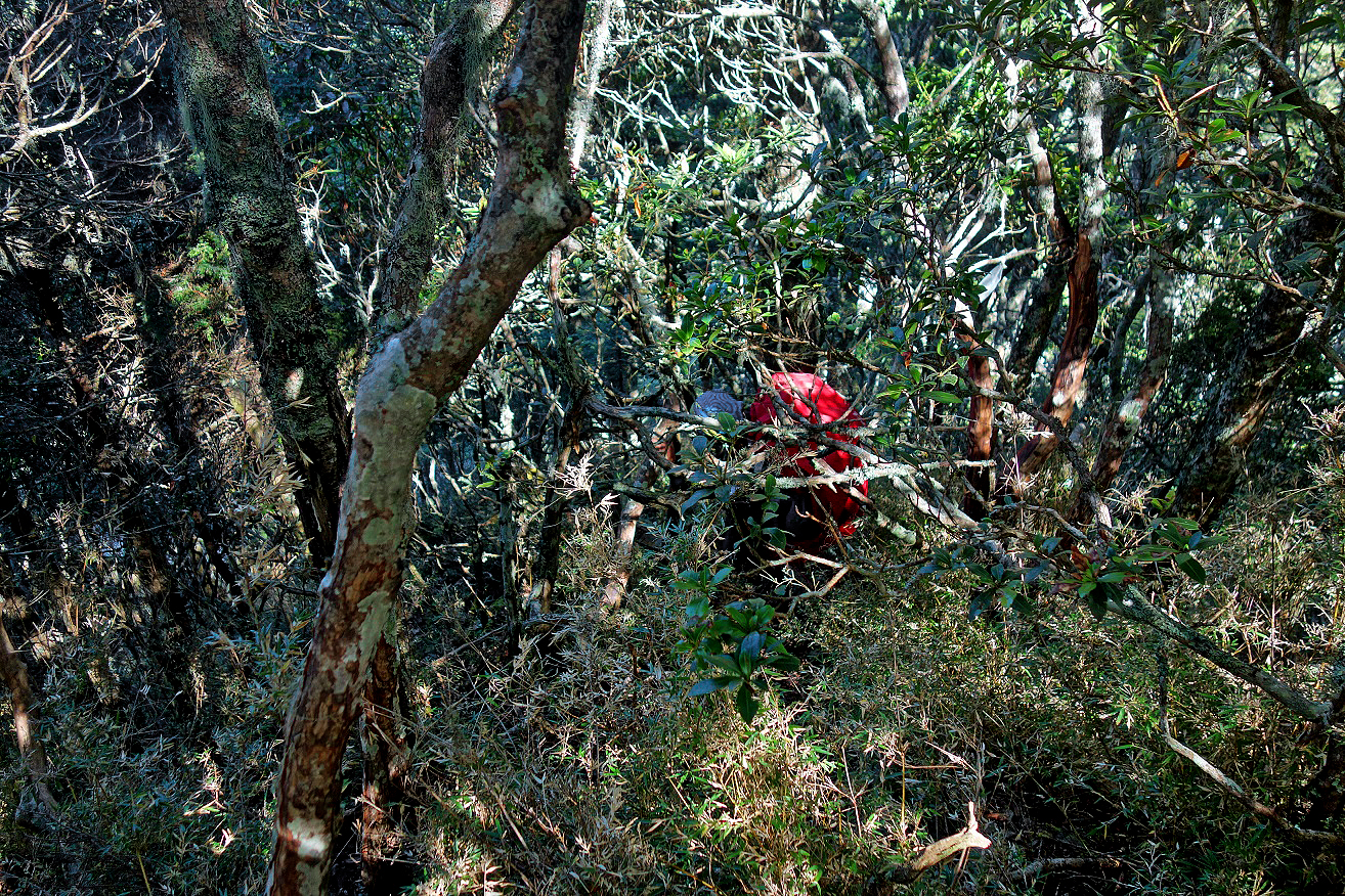
Descent on a ridge from Tafen Shan to Tafenku Cabin, with
Ming partially visible behind a tree at the center of the photo.
Day 5: Tafenku Cabin to Dashueiku Cabin
The morning of the fifth day looked very
similar to the previous two days: steep and wet. However, the weather later
improved and the trail also became easier.
|
|
|
Marker at the summit of Nadashueiku Shan (3381m) and start of the descent toward Dashueiku Cabin.
|
|
|

Arriving at Dashueiku
Cabin.
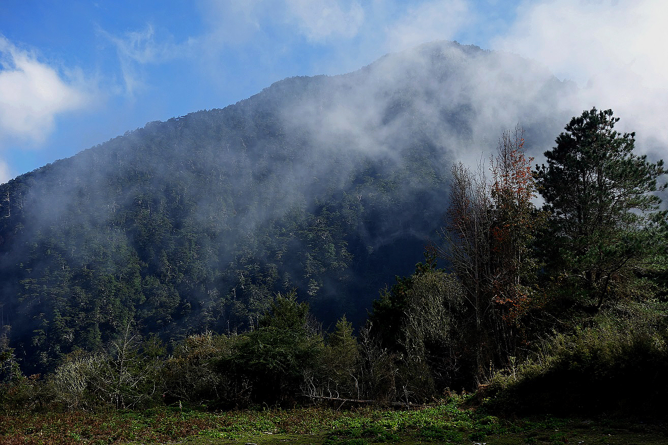
View over a peak above Dashueiku Cabin before sunset.
Day 6: Dashueiku Cabin to Kuankao Cabin
Most the this sixth
day was along an old aboriginal trail. Except for short section the trail was
excellent. Furthermore the weather was perfect.
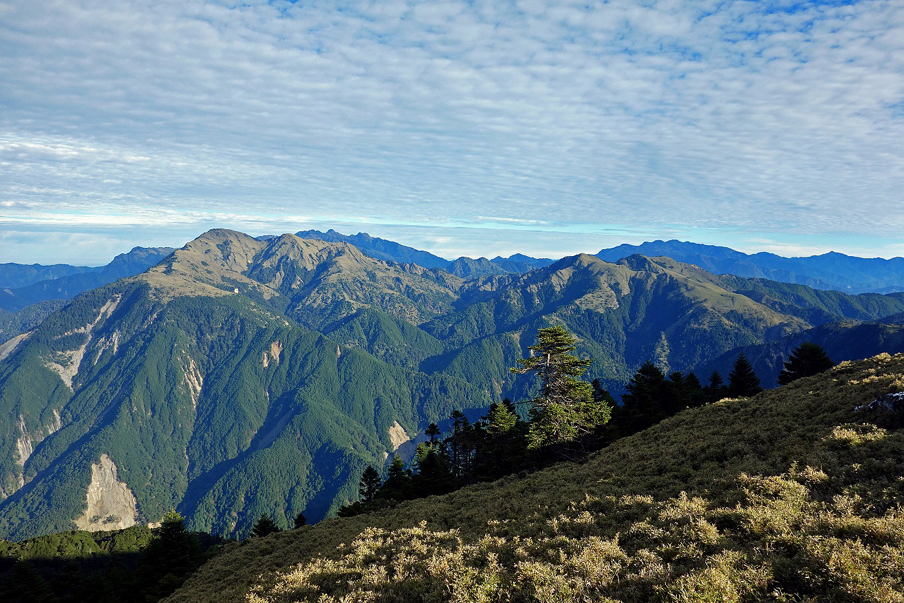
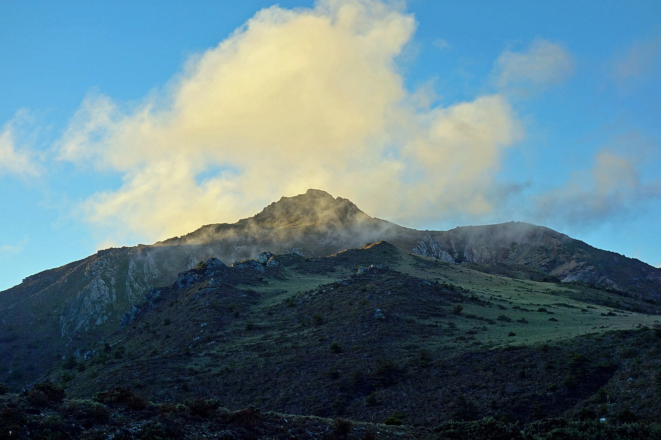
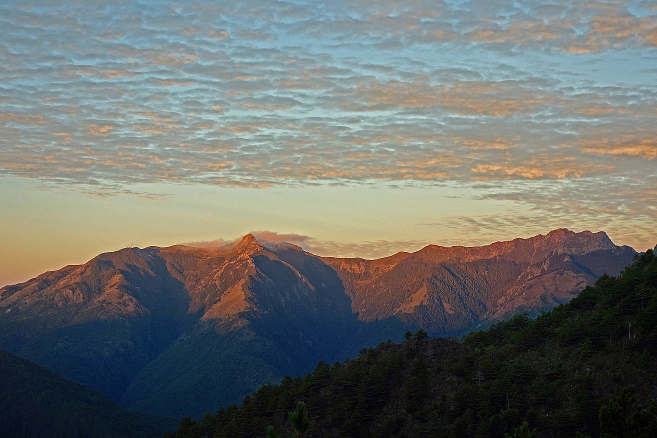
Sunrise over Yu Shan (Mount Jade, on the
right), the highest peak in Taiwan (3952m).
Section of the aboriginal trail cut
across steep terrain.
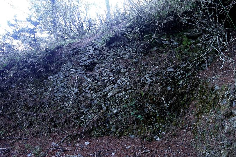
Remains of old Bunun aboriginal constructions. Bunun people used to live in these mountains. They were
forced to move down the mountains during the first half of the 20th century,
under Japanese rule. Today the mountains remain their hunting ground, at least
for those still living in and around Dongpu.
|
|
|
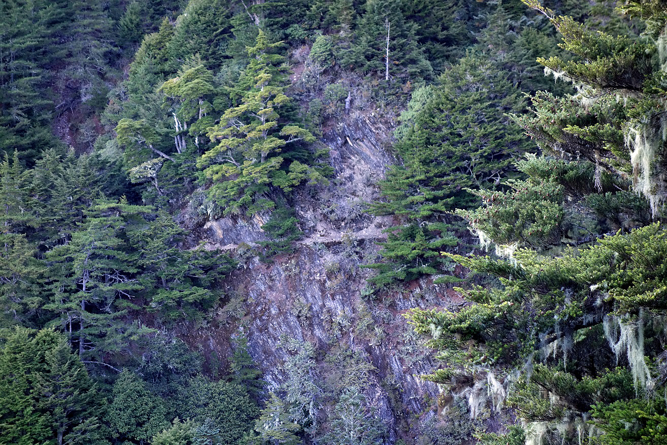
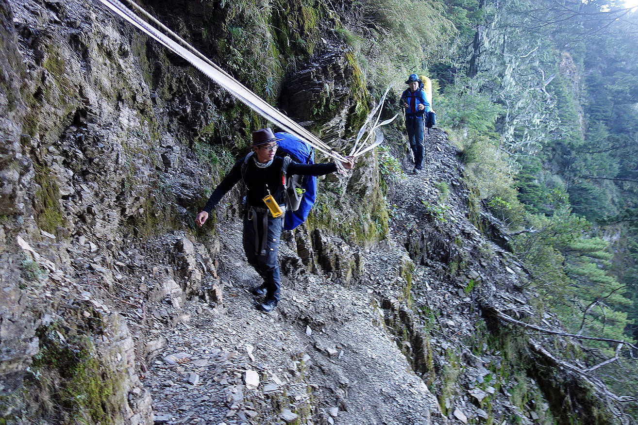
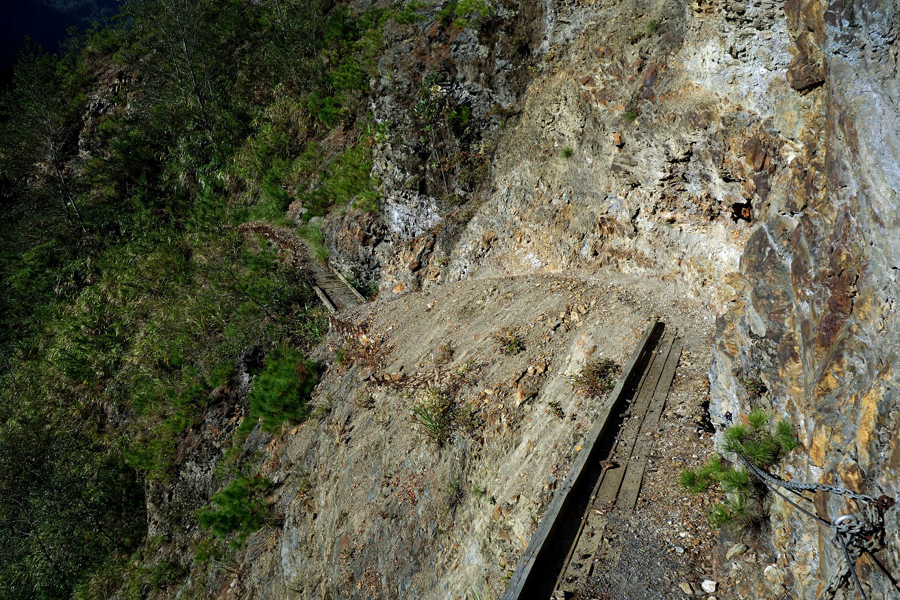
On short sections the aboriginal trail has collapsed, mainly because of
successive typhoons. Here, one such section crossed by the two Taiwanese hikers
traveling on the same schedule as us. The picture also shows the steepness of
the slopes on which the trail was built. Collapsed sections are often equipped
with ″fixed″ ropes. However, the reliability of these ropes is
often dubious.
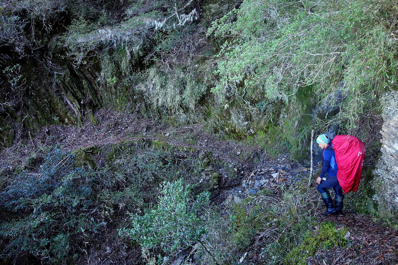
Ming on another section of the trail.
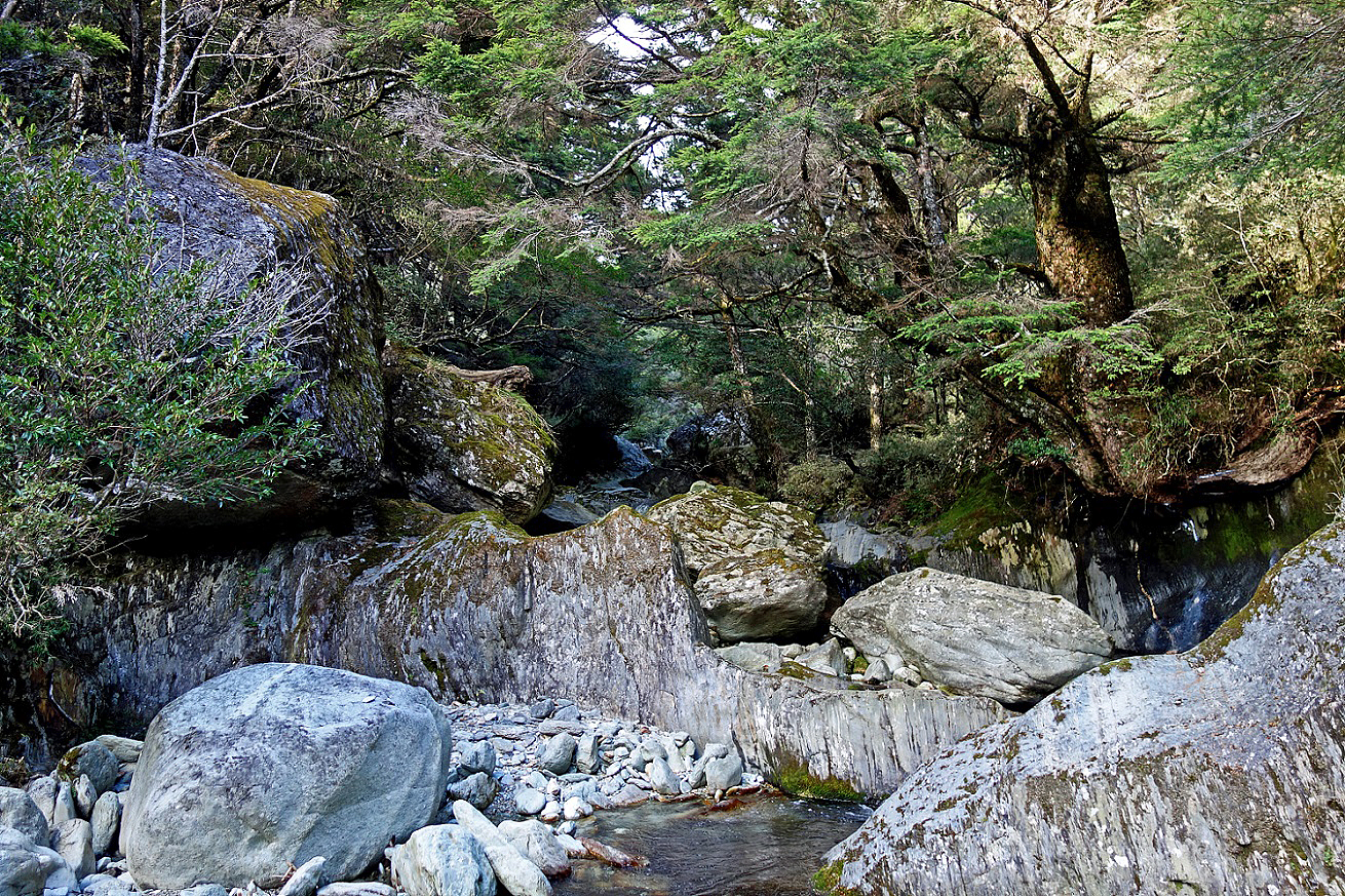
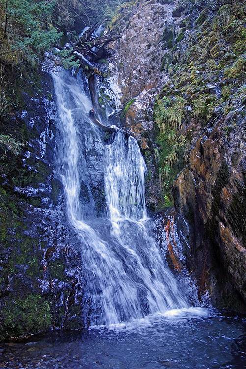
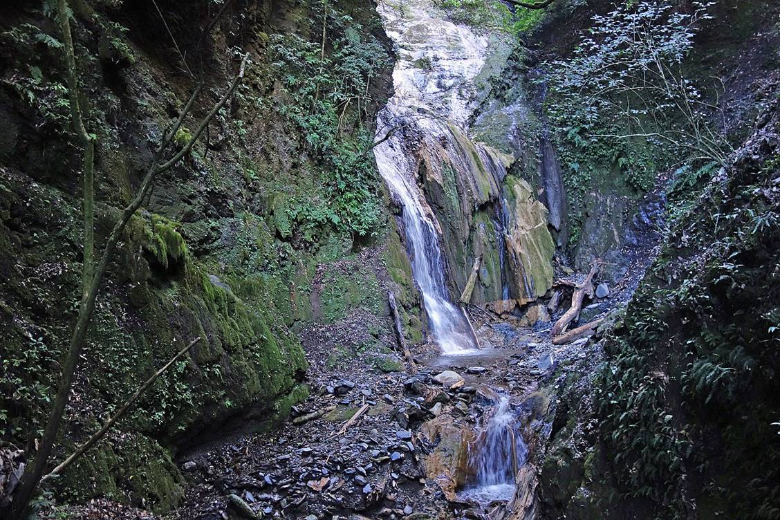
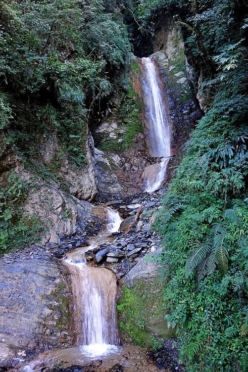
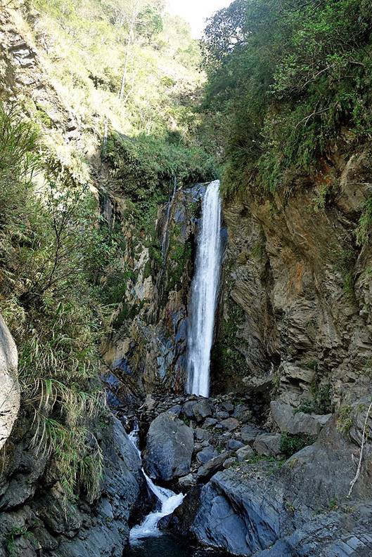
Waterfall and river along the way.
|
|
|
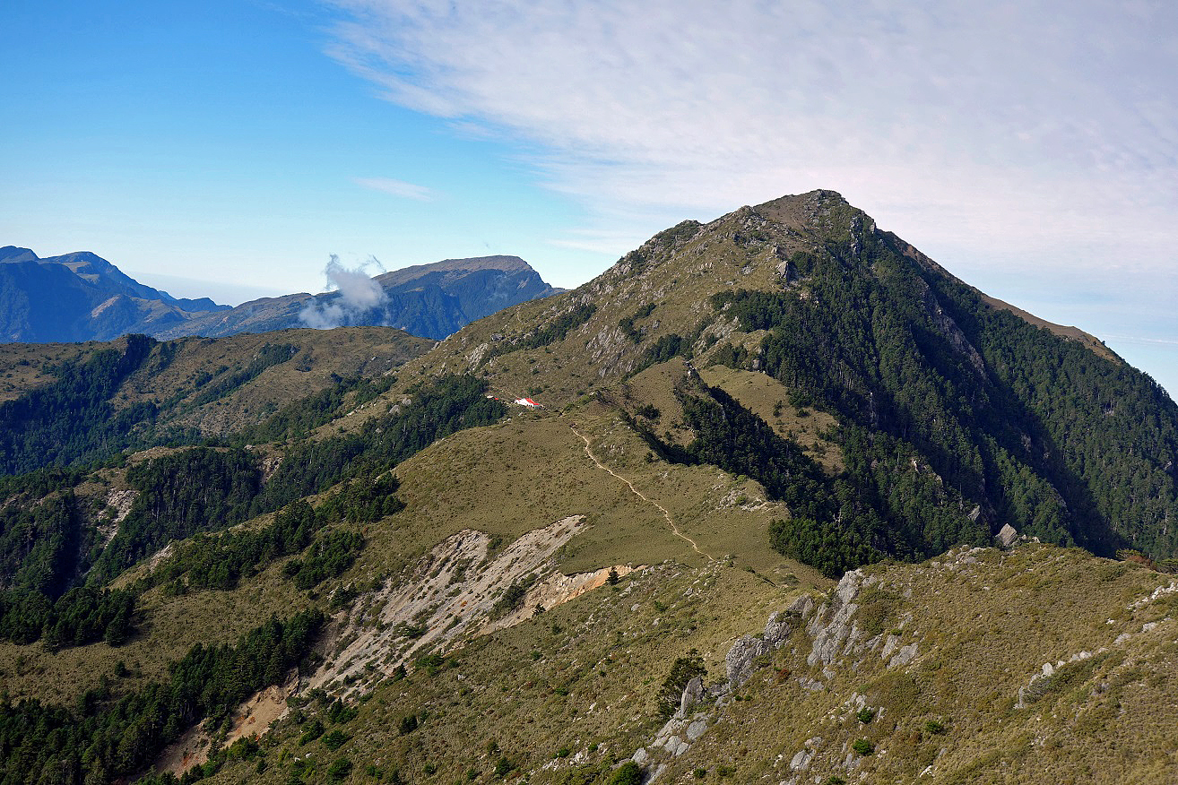
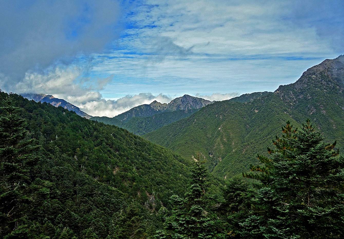
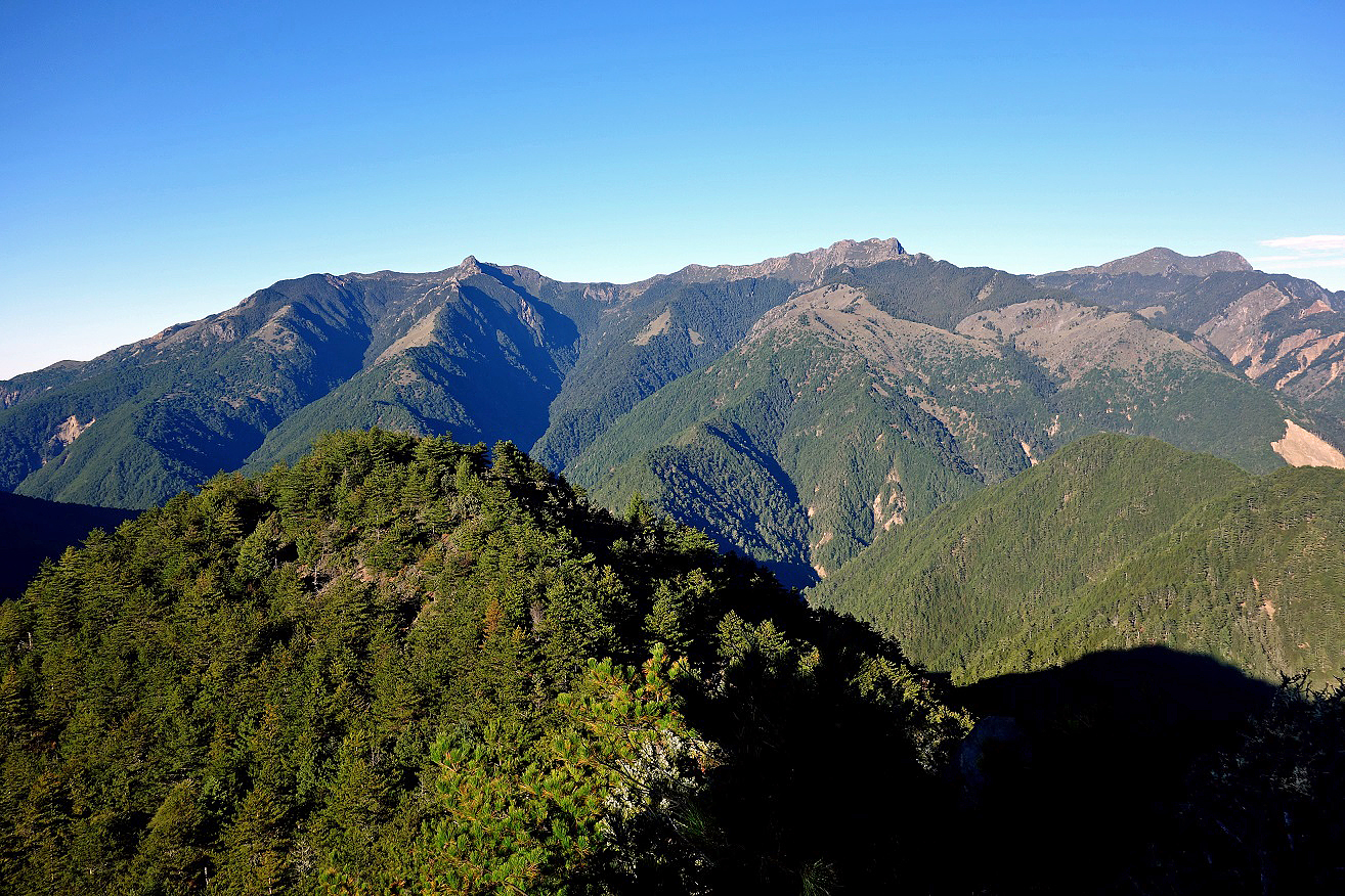
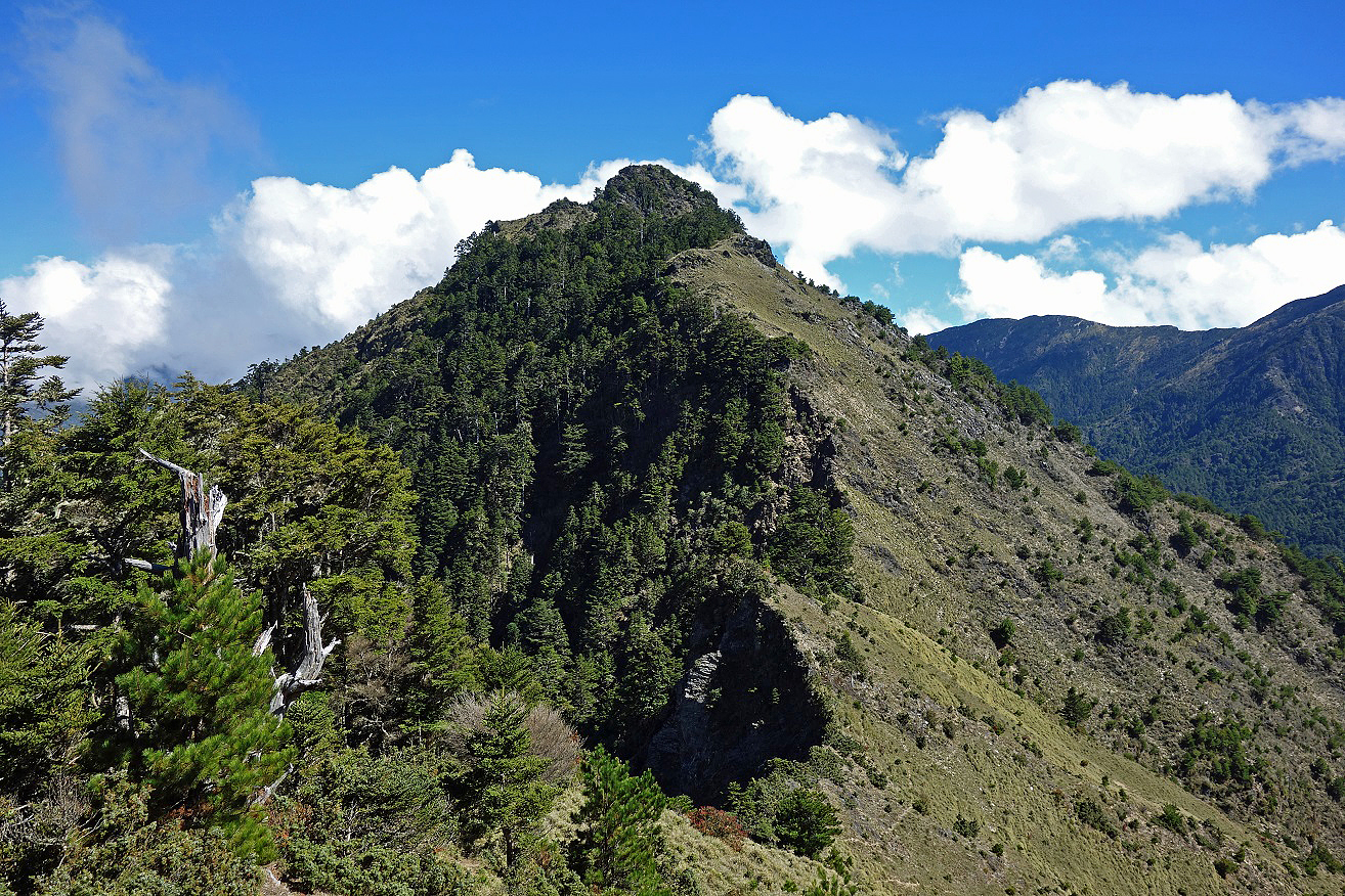
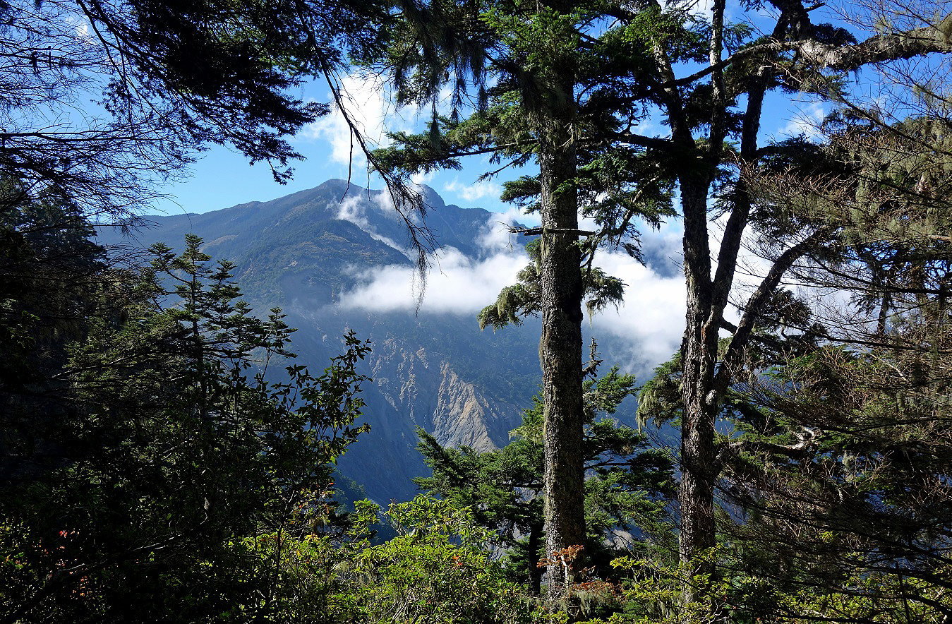
Batongguan Shan (3335m).
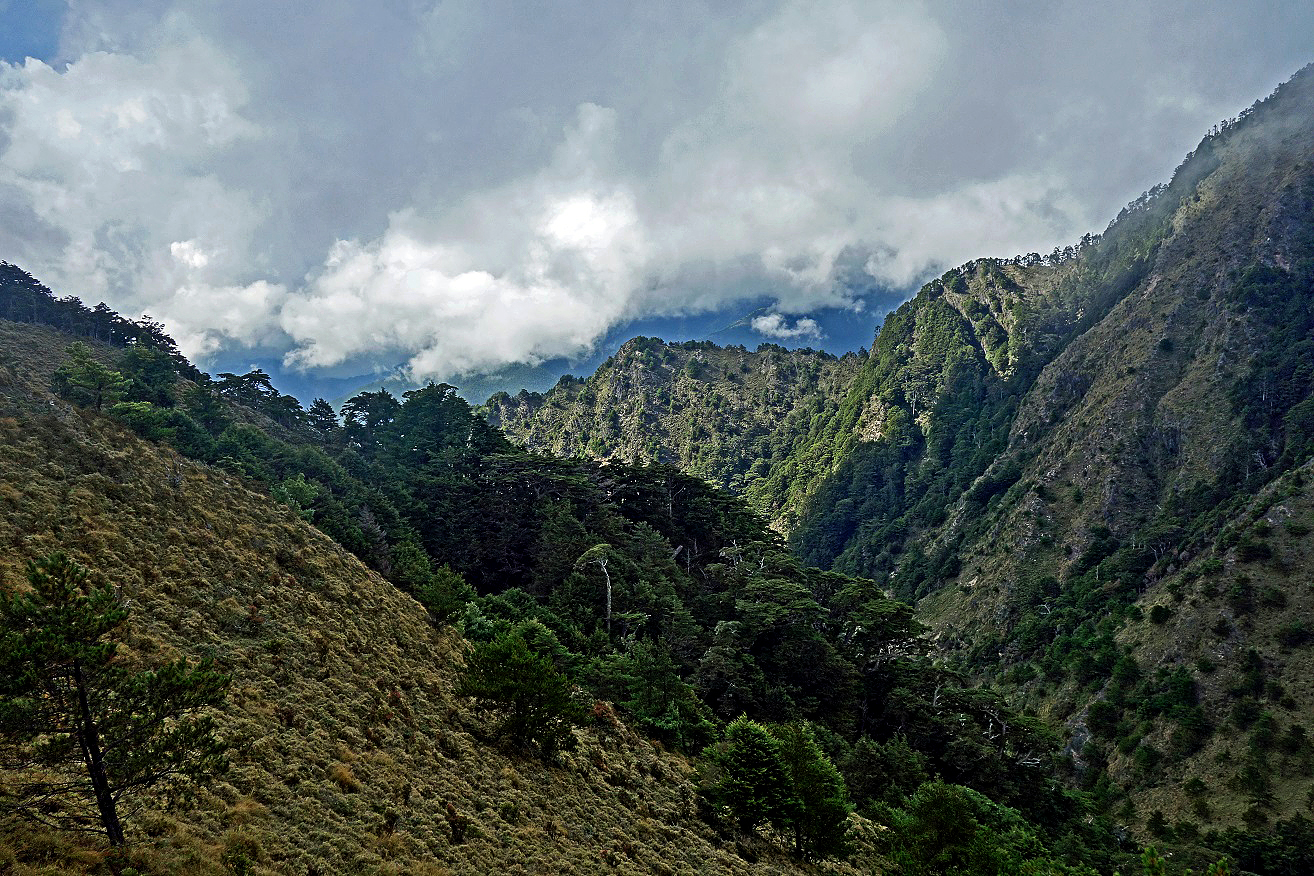
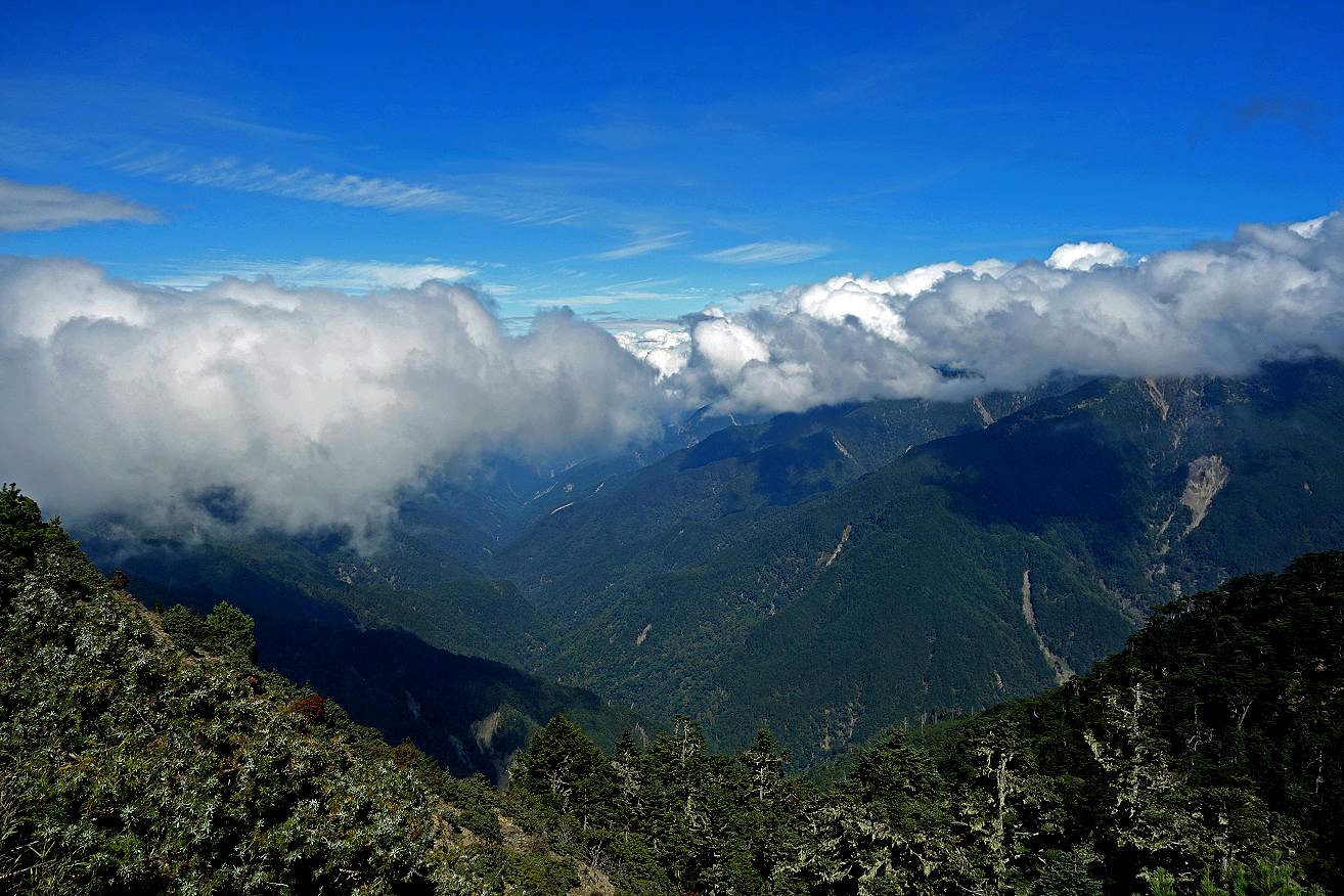
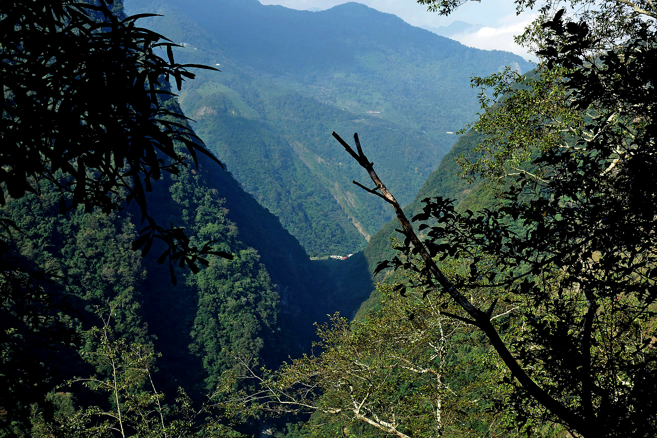
View over the V-shaped valley of the Chenyoulan
River from the saddle west of Batongguan Shan (the
saddle at the bottom-center in the previous photo). This 11-km valley merges
with the Shalixian River valley just before reaching Dongpu. The trail to Dongpu that
we followed on the seventh day is located well above the Chenyoulan
River, on its right bank. It is an ancient aboriginal trail known as the Batongguan Trail.
The descent from the saddle below Batongguan Shan toward the trail along the Chenyoulan valley is quite steep and not well marked.
View toward Yu Shan as we reached the Batongguan Trail along the Chenyoulan
valley.
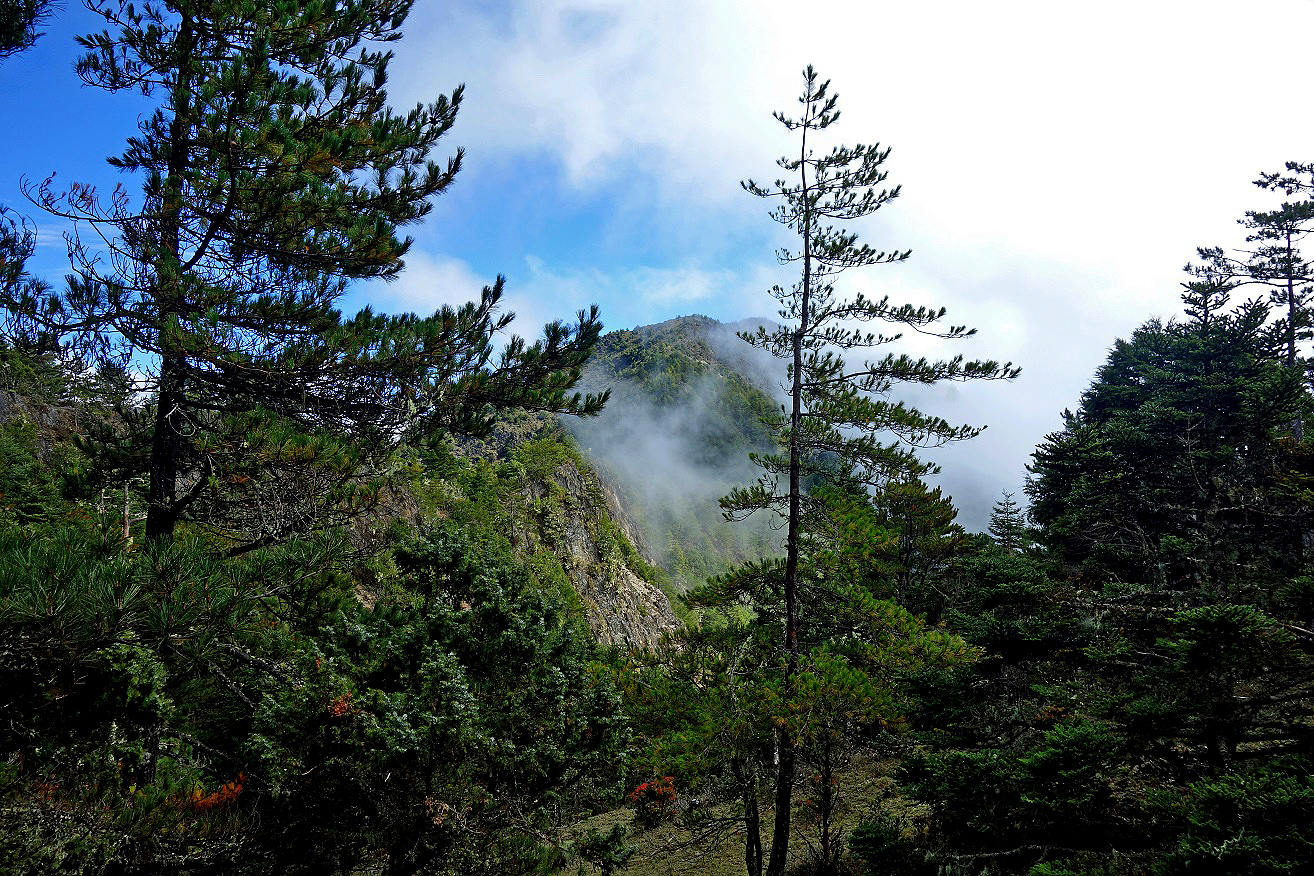
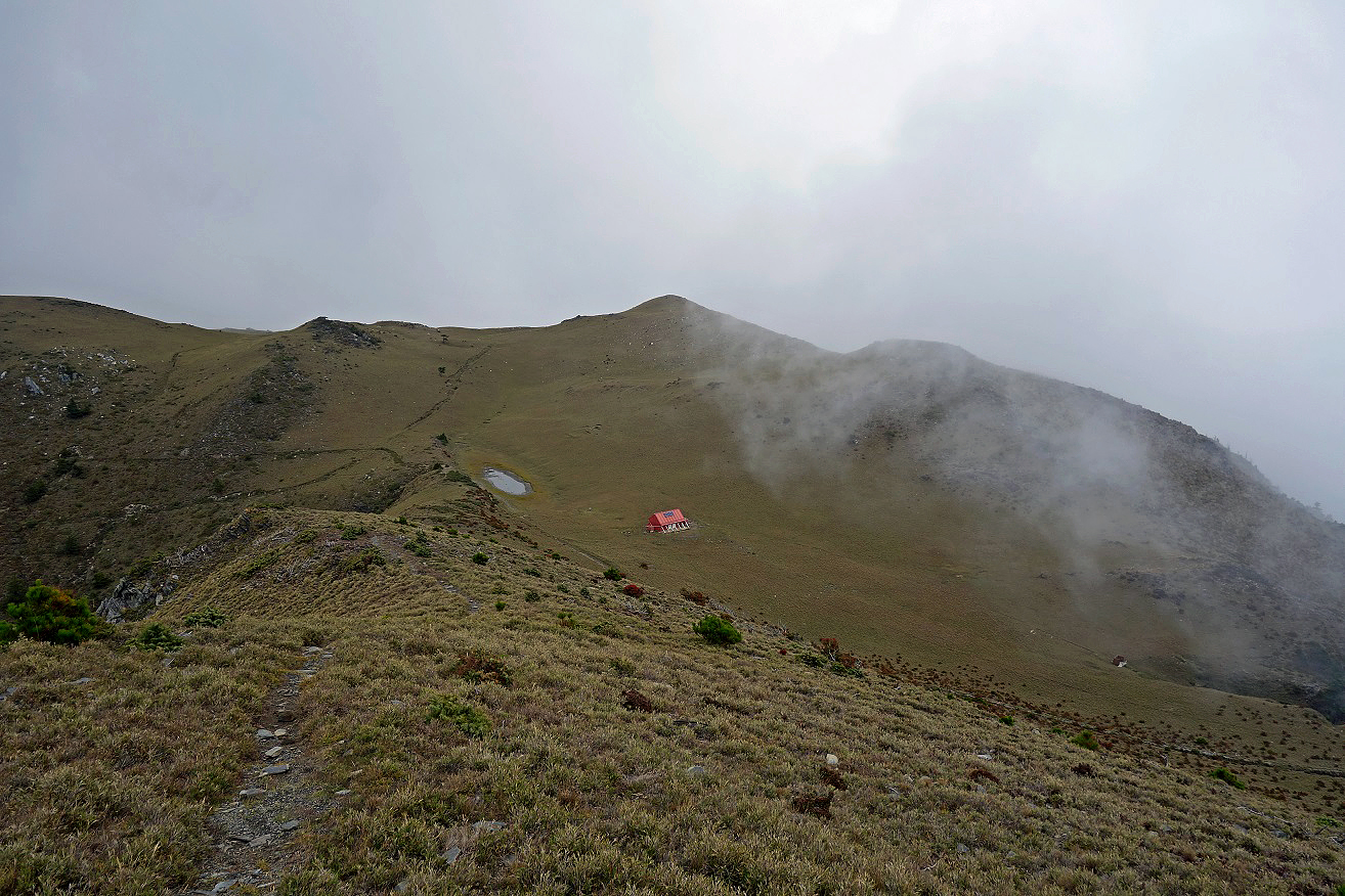
Batongguan Shan seen just before reaching Kuankao Cabin (located 15 minutes off the main trail).
Day 7: Kuankao Cabin to Dongpu
The Batongguan
Trail from the Kuankao cabin to Dongpu,
especially its section below the Yunlong waterfall, is
quite popular with weekend hikers.
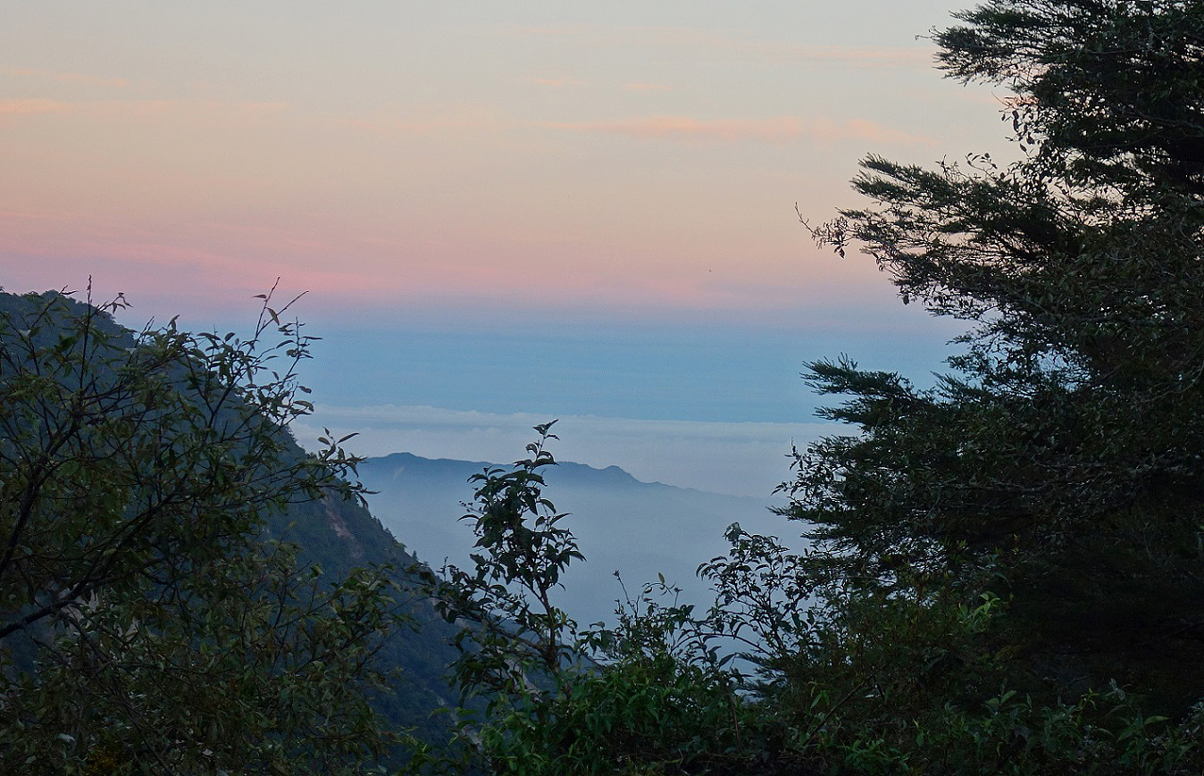
Views at sunrise.
Along the trail.
|
|
|
The small Lele
Cabin, located at the site of a former Japanese police station.
|
|
|


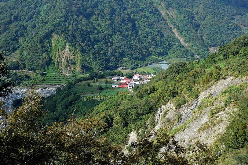
View of the Chenyoulan valley from the trail
below Lele Cabin. A small hamlet close to Dongpu is visible at the bottom. There are tea plantations
on the slopes above the hamlet.
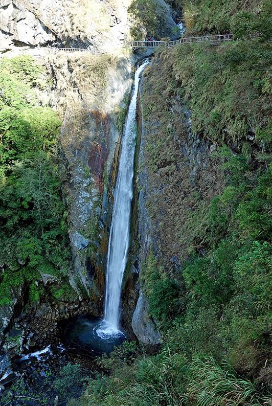
Yunlong (Cloud Dragon) waterfall: the
lower part of the waterfall below the bridge (photo on the left) is much higher
than its upper part (right).
|
|
|
The trail between Yunlong waterfall and Dongpu is quite good (hiking up to the waterfall from Dongpu is allowed without a permit), but some portions of
it may soon need some maintenance.
|
|
|
Reaching the hamlet near Dongpu (the end of the trail), where the Chenyoulan and Shalixian Rivers merge.
|
|
|
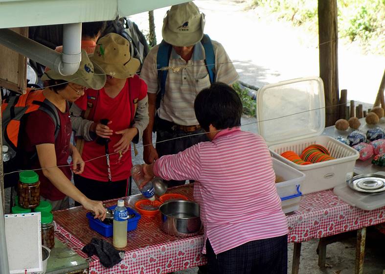
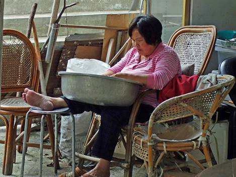
At the end of the trail, a small shop sells very refreshing and delicious
″aiyu jelly″ sweetened with brown sugar.
Many hikers stop there on their way up/down to/from the Yunlong
waterfall. Some people even come here only to enjoy the jelly without hiking
further up.
|
|
|
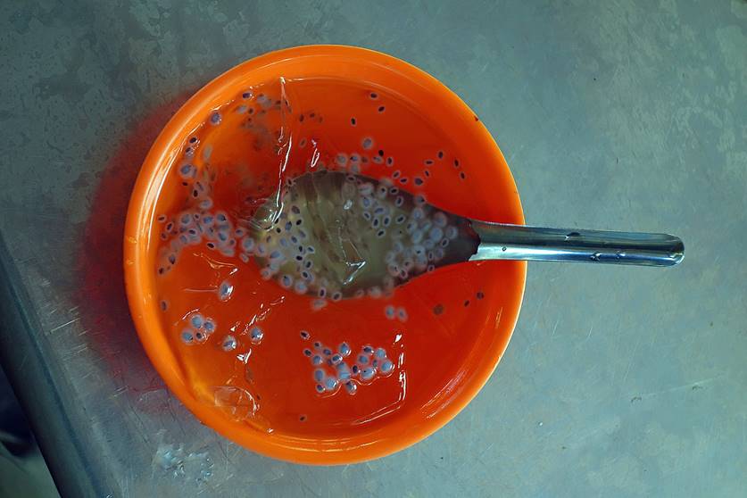
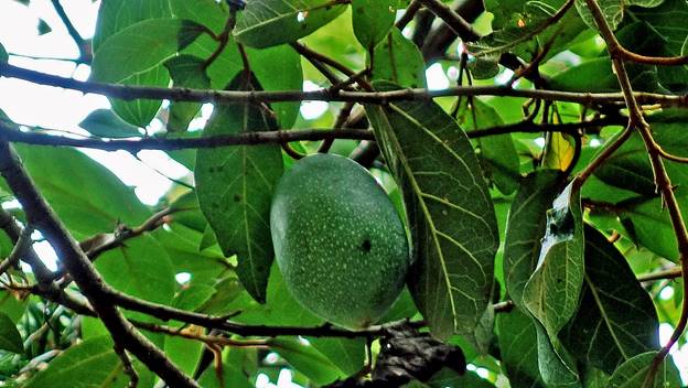
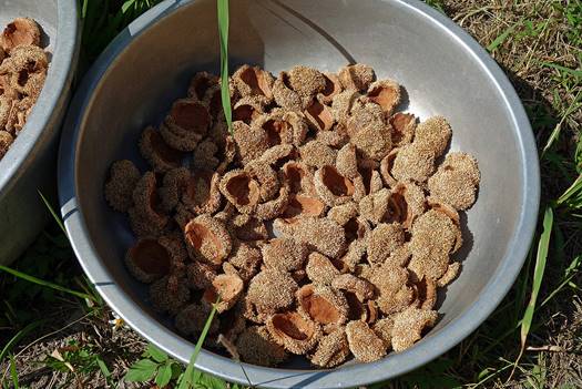
The aiyu fruit used to make the jelly is a type
of fig resembling a mango (growing on trees near the shop, photo on the left).
Harvested aiyu fruits are cut in half and turned inside out to dry (photo in
the middle). The tiny seeds are then pulled out of the skin (photo on the
right). When immersed in water they release a gel that produces the jelly.
|
|
|
|
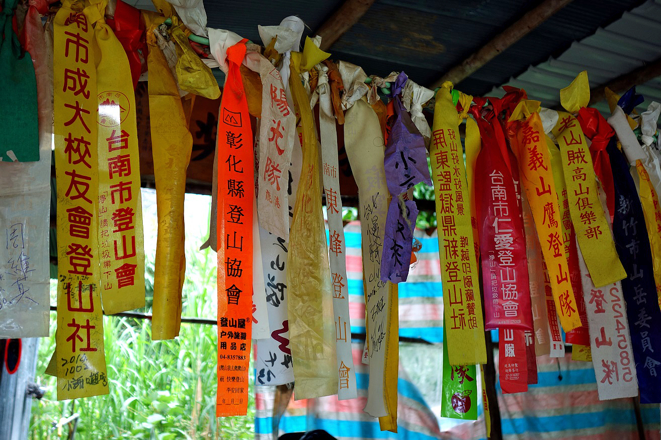
Most Taiwanese hikers like to hike in groups and belong to clubs. These
groups identify themselves with club ribbons of different colors and labels.
Many such ribbons are hanging in the aiyu jelly shop.
Hikers also leave their club ribbons on tree branches along the trails (to
indicate ″we have been there″), sometimes creating confusion when
they make mistakes and follow wrong paths.
![]()