Taiwan: Hiking around Rueili
(November 2016)
![]()
Return
to main Taiwan page | Return to my
mountaineering/trekking/travel webpage
In November 2016 I went hiking in the
region around Rueili, during a longer trip to Taiwan.
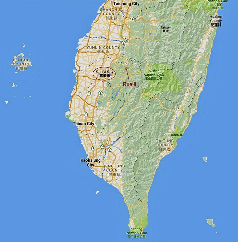
Rueili is a tiny village in Chiayi County, 41km east
of Chiayi city. At an elevation of 1100m and surrounded by even higher
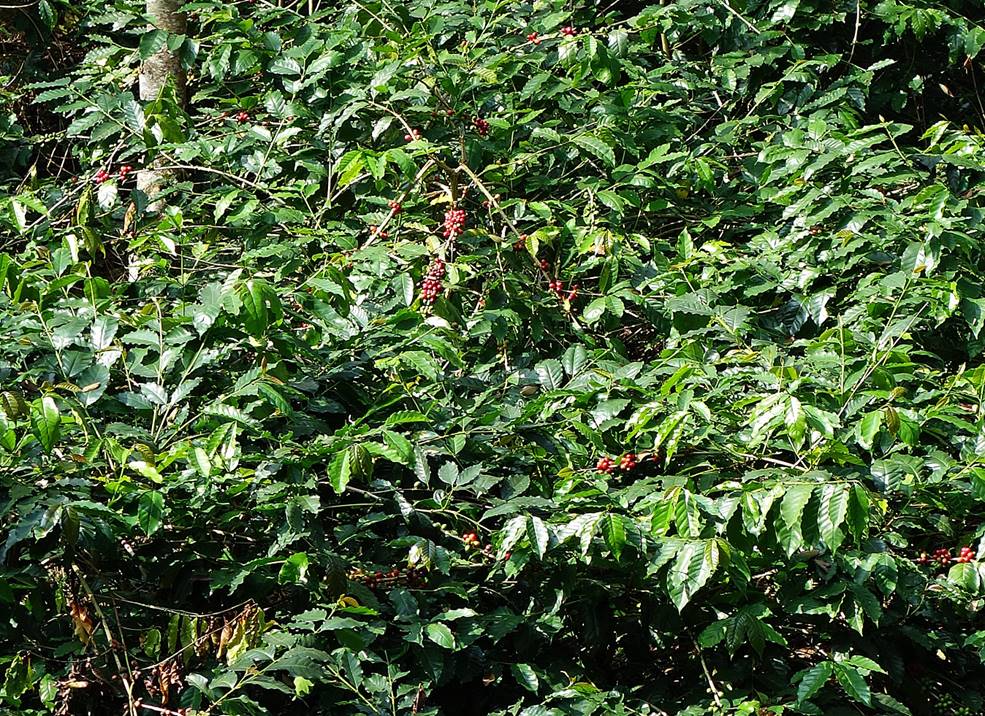
mountains, the village lives mostly on tea plantations, but also on producing
betel nuts and coffee beans. It is not far from the better-known, but also much
more touristy Alishan
Recreation Area. Rueili is a very quiet place in a
beautiful setting. The area has excellent hiking trails.
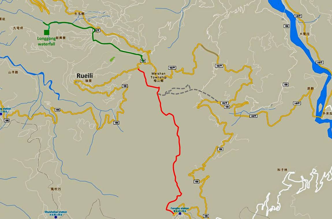
Local map. In red: Rueili-Fenchihu
trail. In Green: Trail to Longgong waterfall. In
gray: Rueili-Taihe trail.
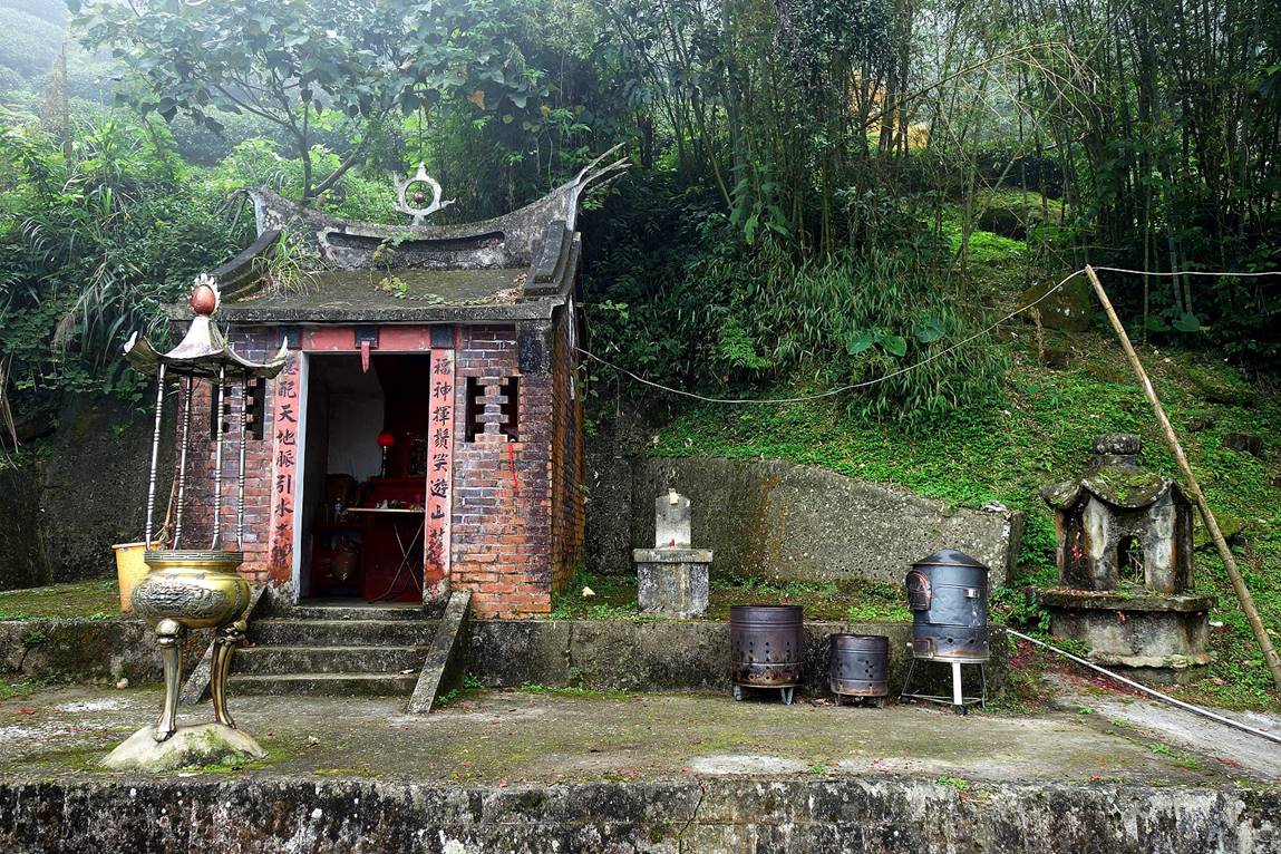
Small old-fashion shrine along the road
soon before arriving in Rueili (coming from Chiayi).
Views of Rueili.
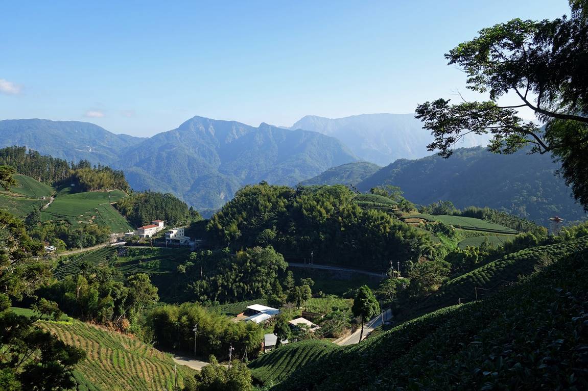
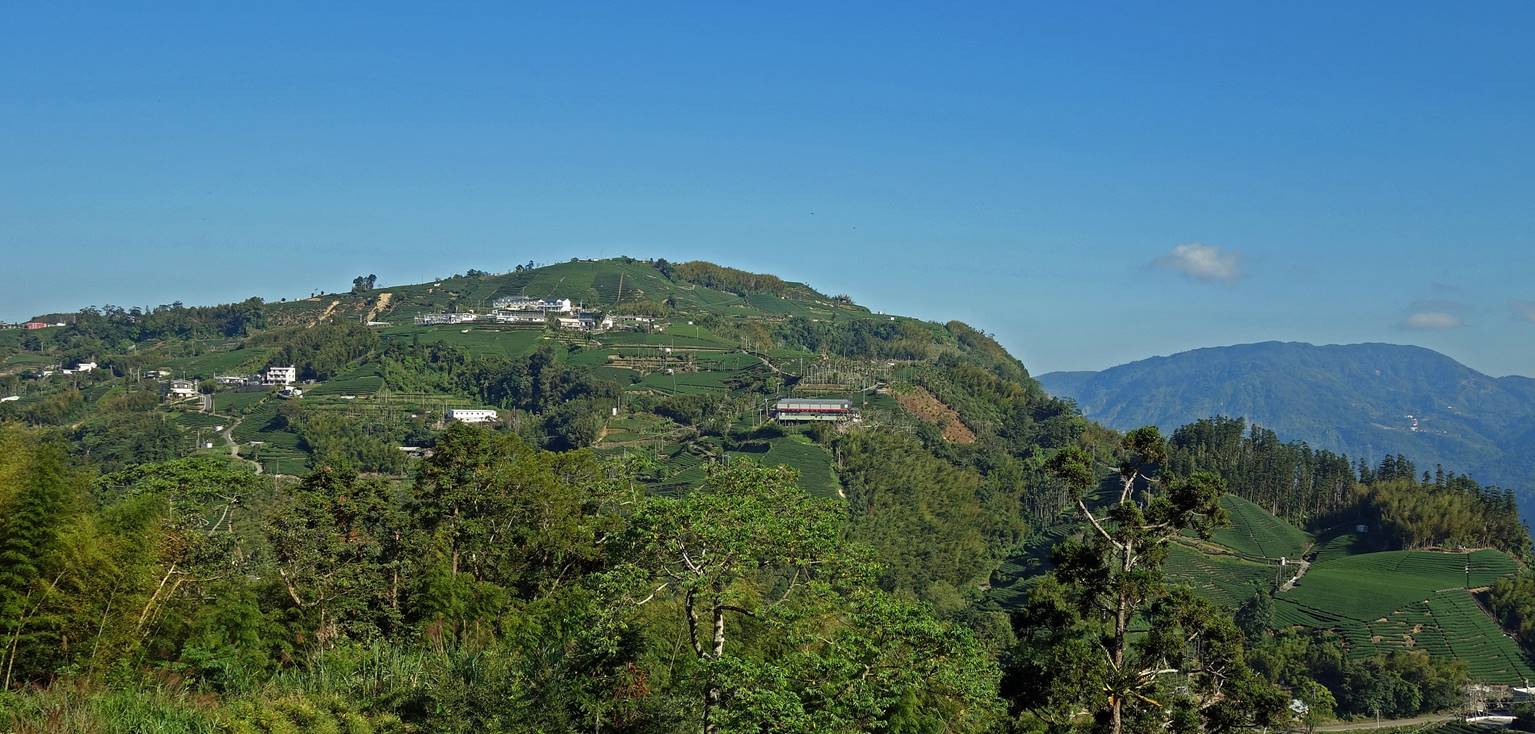
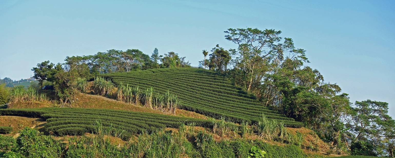
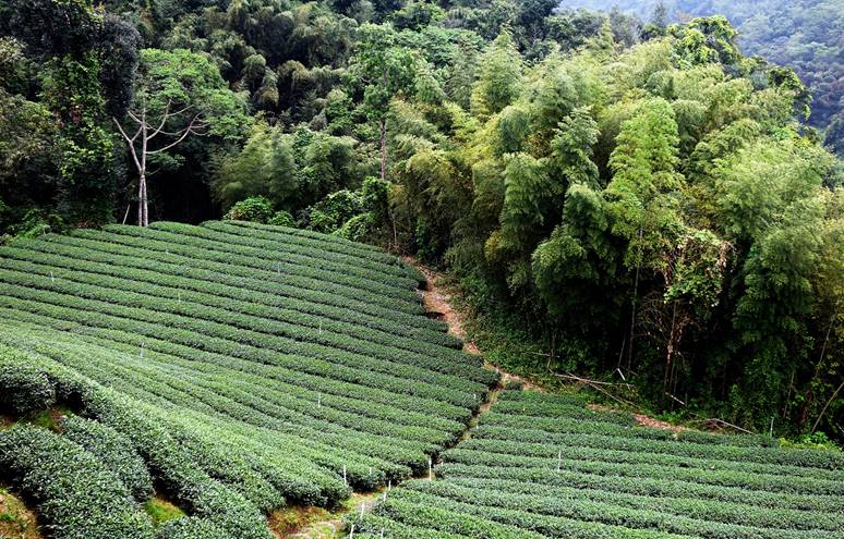
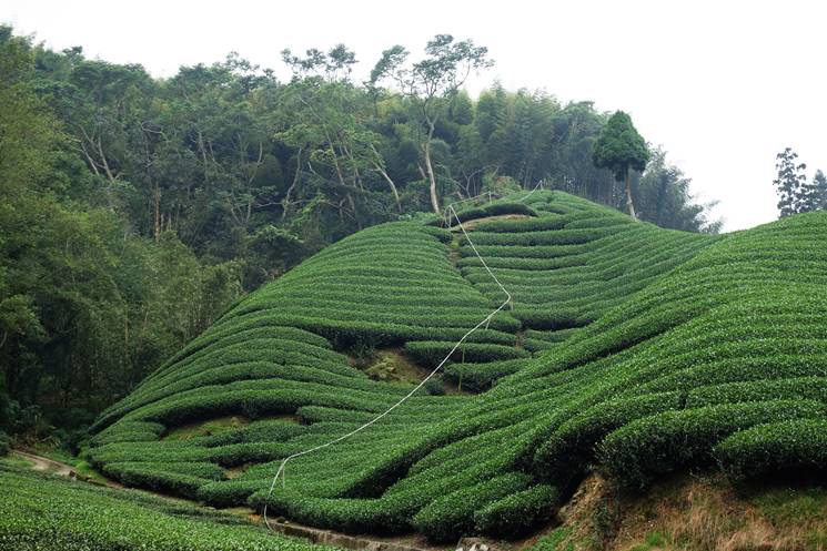
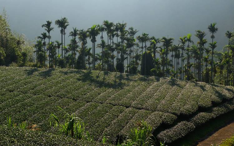
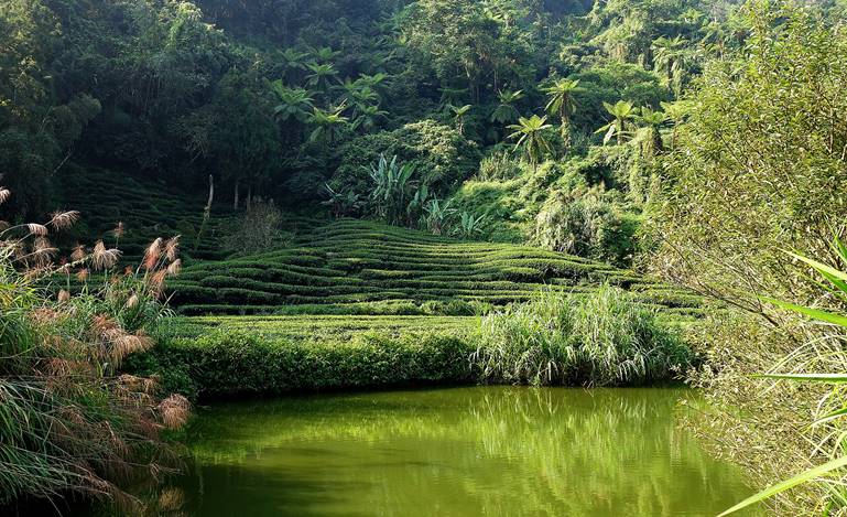
Tea plantations around Rueili.
|
|
|
|
|
|
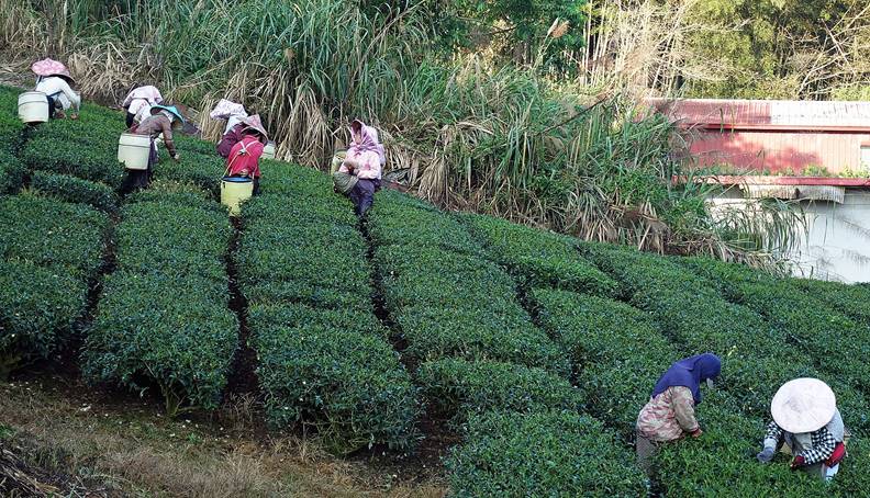
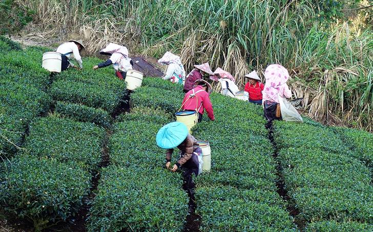
Harvesting tea leaves.
|
|
|
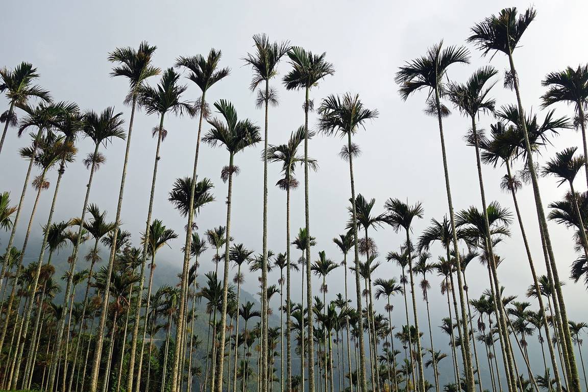
Plantation of betel trees (areca palm).
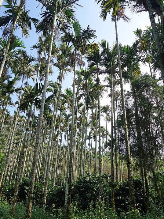
Plantation mixing betel and coffee
trees.
|
|
|
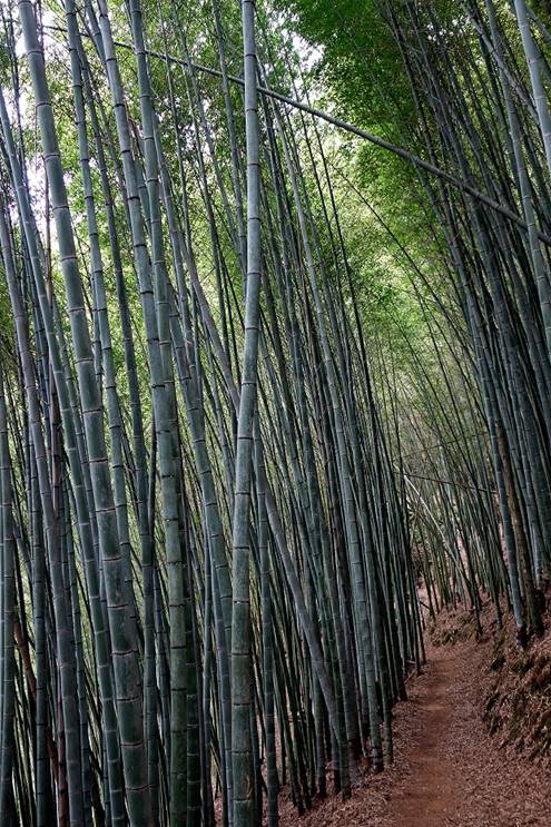
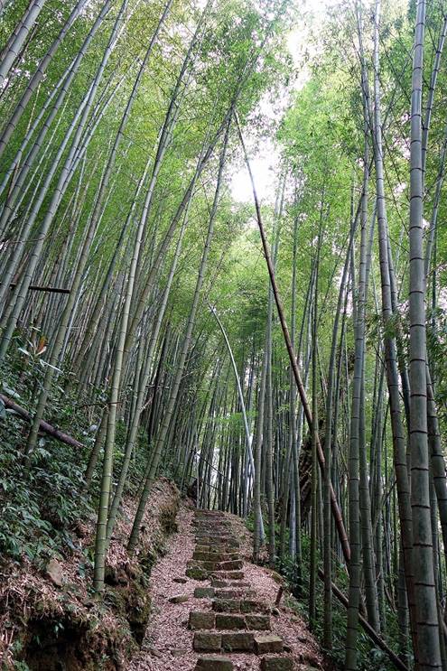
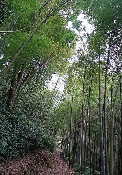
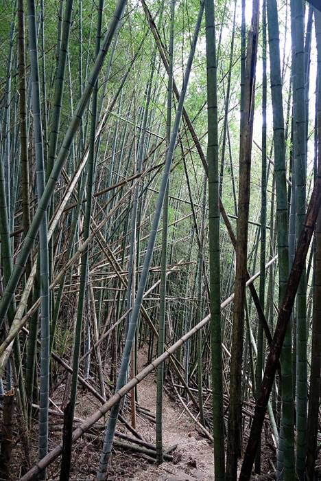
The Rueili-Fenchihu trail (see path in red in the map above) is an ancient trail that connects
Rueili to Fenchihu, another small village on the railway connecting Chiayi to
Alishan. This trail was originally created to facilitate trade and agricultural
operations. The trail is 6.2 km long and has an elevation ranging between 1100m
(Rueili) and 1600m, with Fenchihu being at about 1400m. It traverses superb
bamboo forests. As there is no easy transportation from Fenchihu back to
Rueili, it typically has to be hiked back (12.4km round-trip).
|
|
|
|
|
|
|
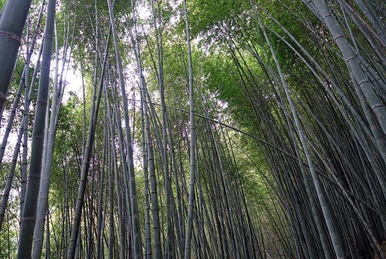
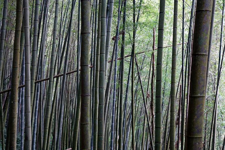
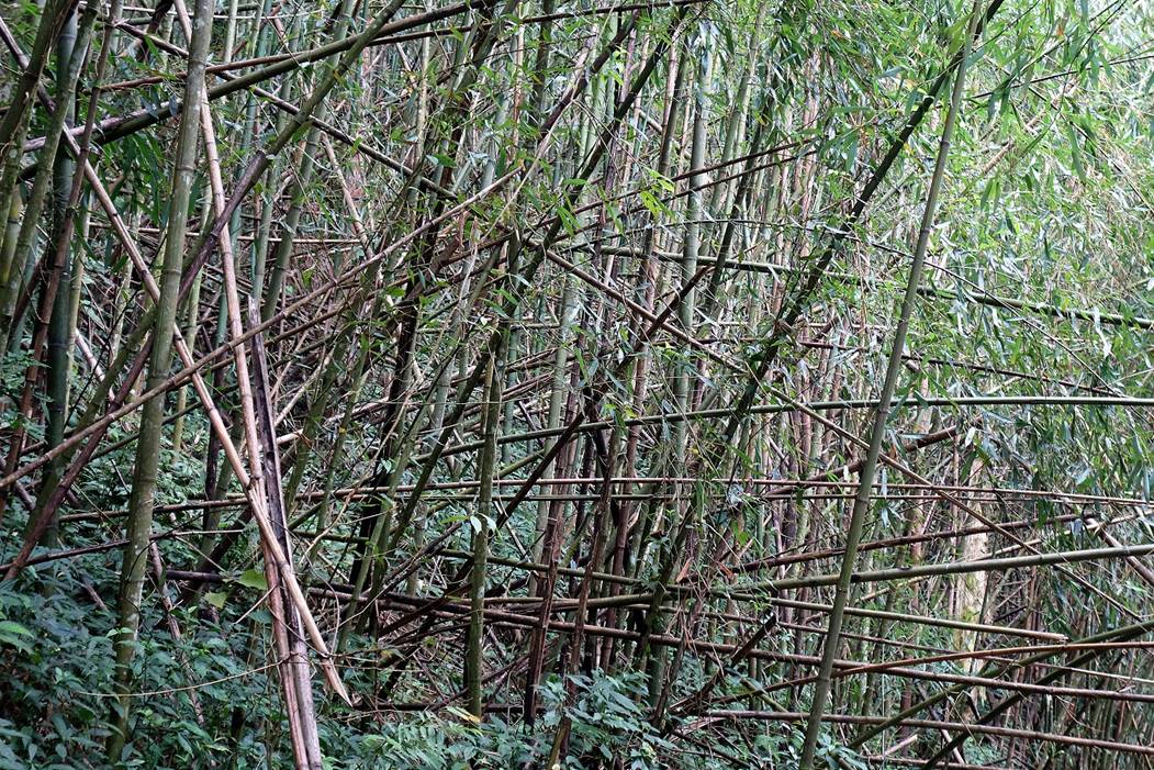
In some places the
bamboo forest looks like a battlefield, due to recent typhoons.
|
|
|
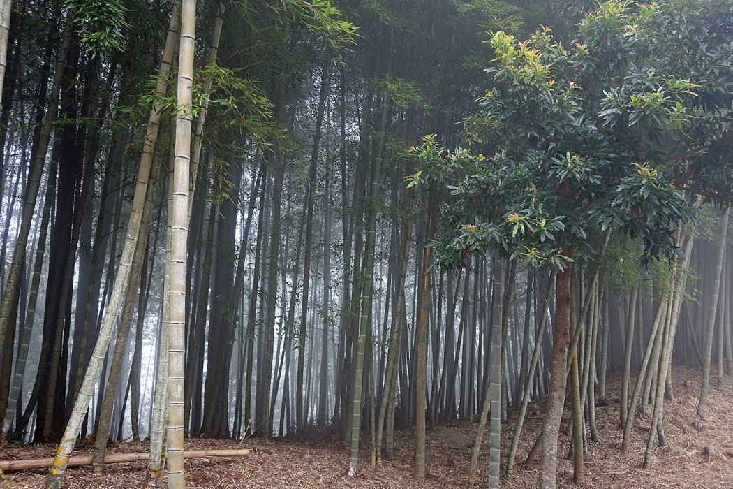
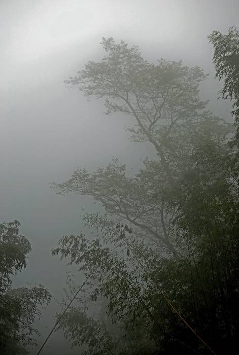
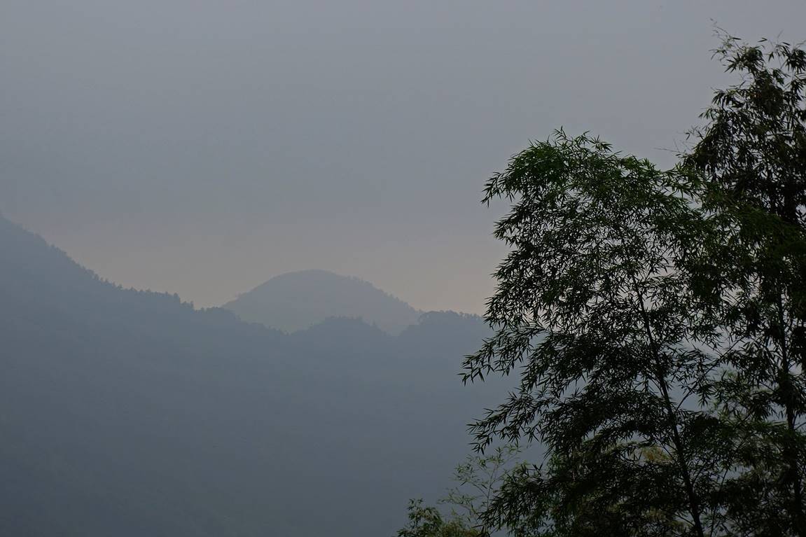
In the afternoon clouds
are descending over the highest sections of the trail.
|
|
|
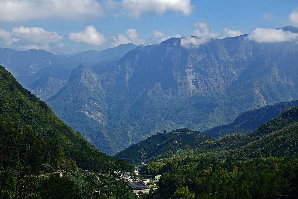
Tiny village of Taihe
surrounded by high cliffs seen from the Rueili-Fenchihu trail.
The village of Fenchihu
at the end of the trail is a station on the railway connecting Chiayi to
Alishan. This narrow-gauge
railway was built during the first quarter of the 20th century under the
Japanese occupation of Taiwan. Its main purpose was then to carry timber out of
the mountains to the west coast. Today, it is used by tourists visiting the
Alishan Forest Recreation Area (although an even greater number of tourists use
tour buses). The current 71km-long railway begins at 30m in Chiayi and ends at
2216m in Alishan, after passing 49 tunnels.
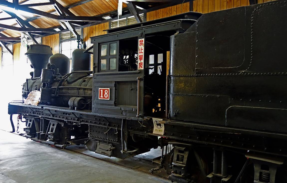
Old locomotive formerly
used on the railway, on display in the Fenchihu‛s station.
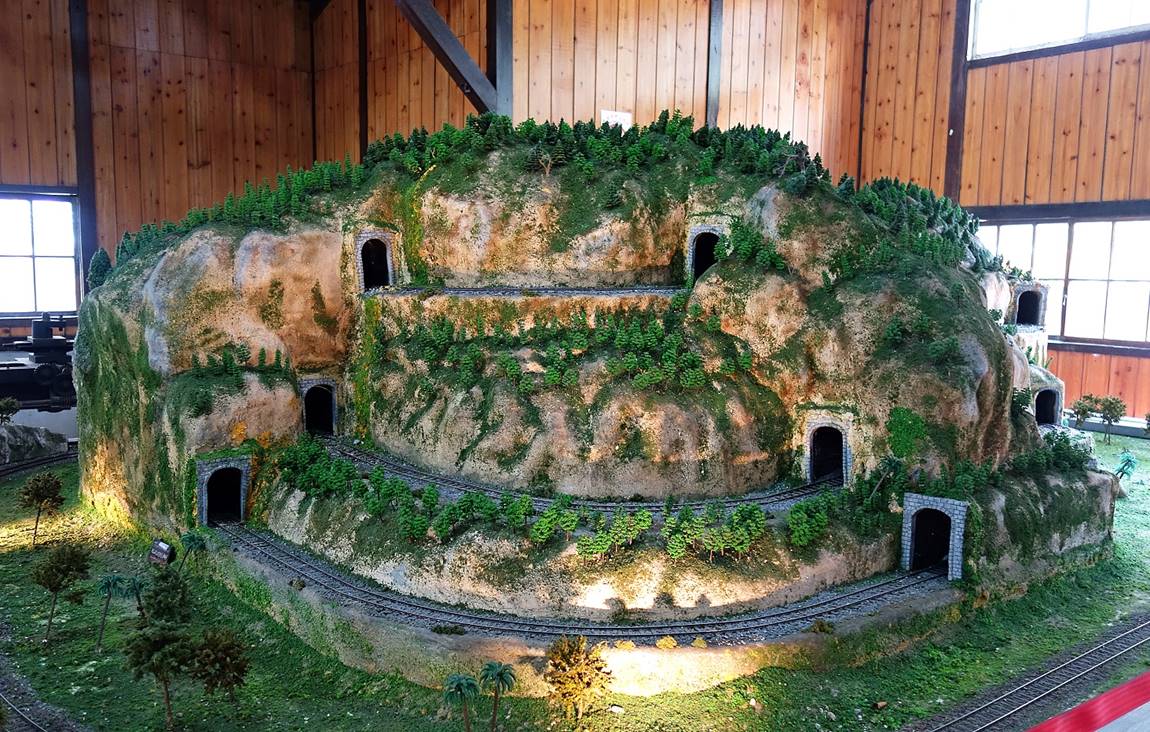
Reproduction of the
uphill spiral route of the railway between Jhangnaoliao station (543m in elevation,
23.3.km from Chiayi station) and Dulishan station (743m, 4.1km from
Jhangnaoliao station) on display in the Fenchihu‛s station. This section
of the railway includes 8 tunnels.
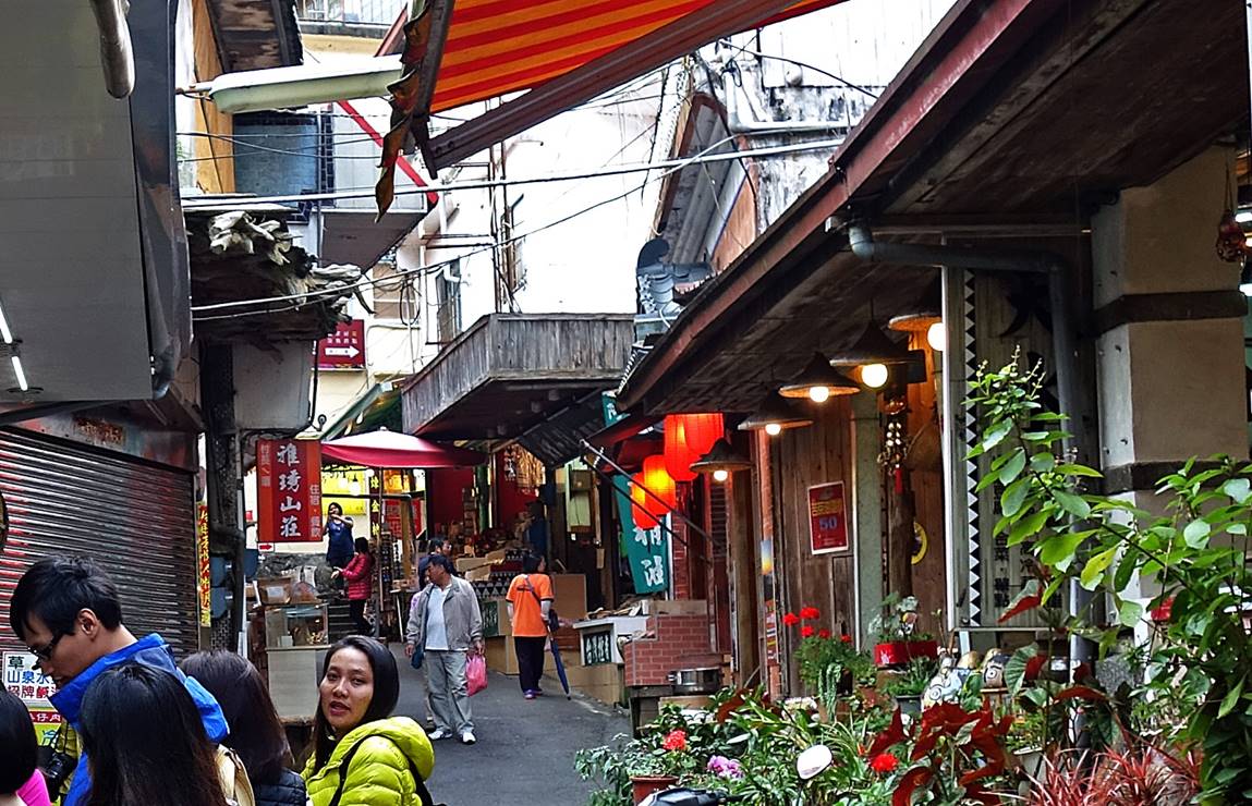
In the main street of
Fenchihu. As several bus tours make short stops in Fenchihu on their way to or
back from Alishan, tourists often outnumber local people.
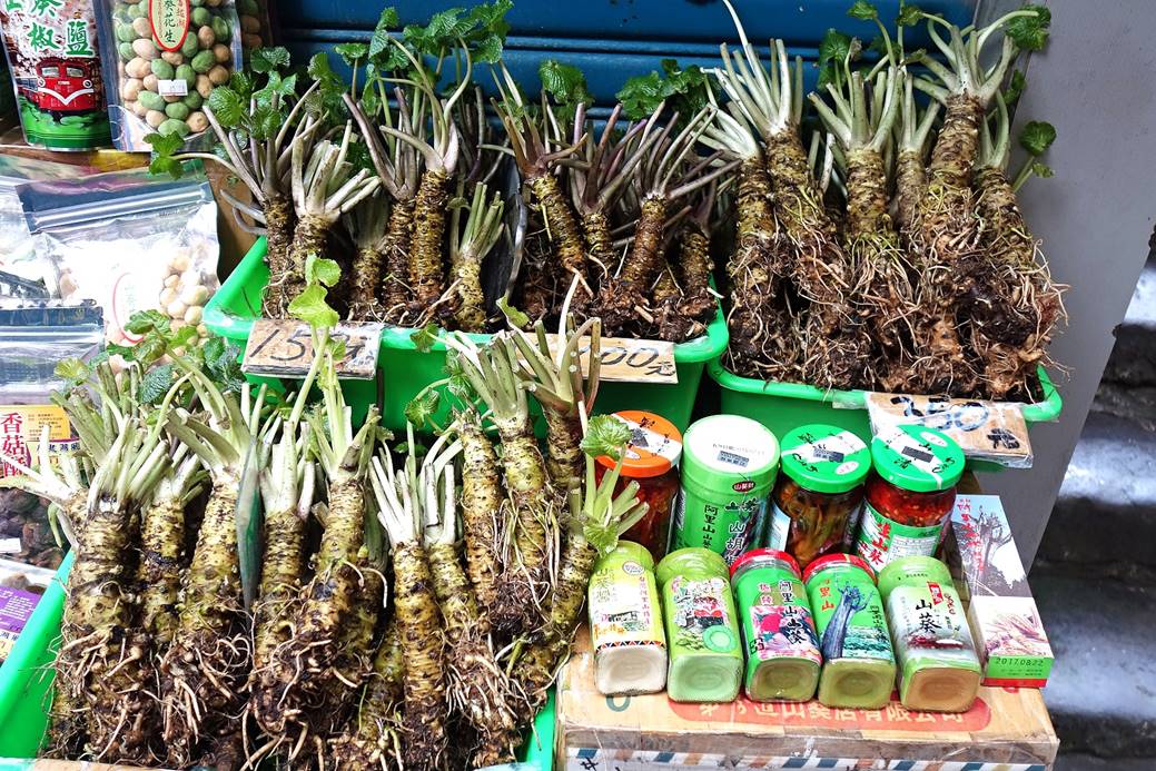
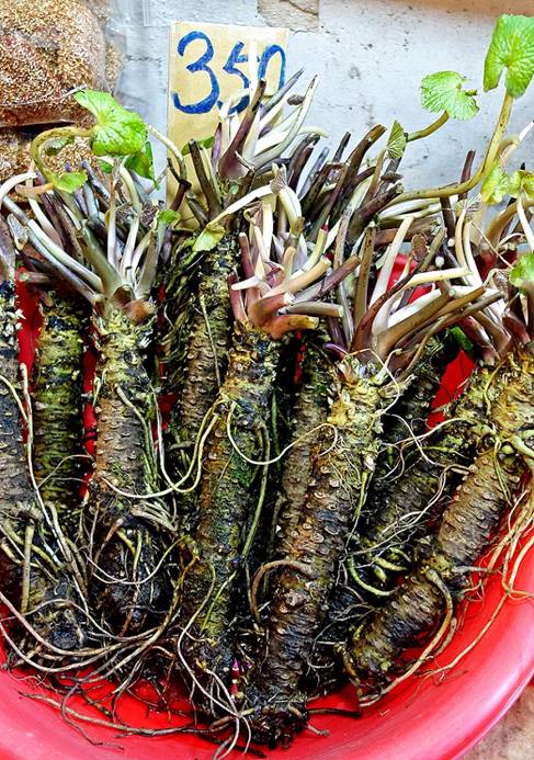
Wasabi roots, wasabi
peanuts (top-left of first photo) and wasabi sauces for sale. The area is one
of the few places in Taiwan where one can buy fresh wasabi roots.
|
|
|
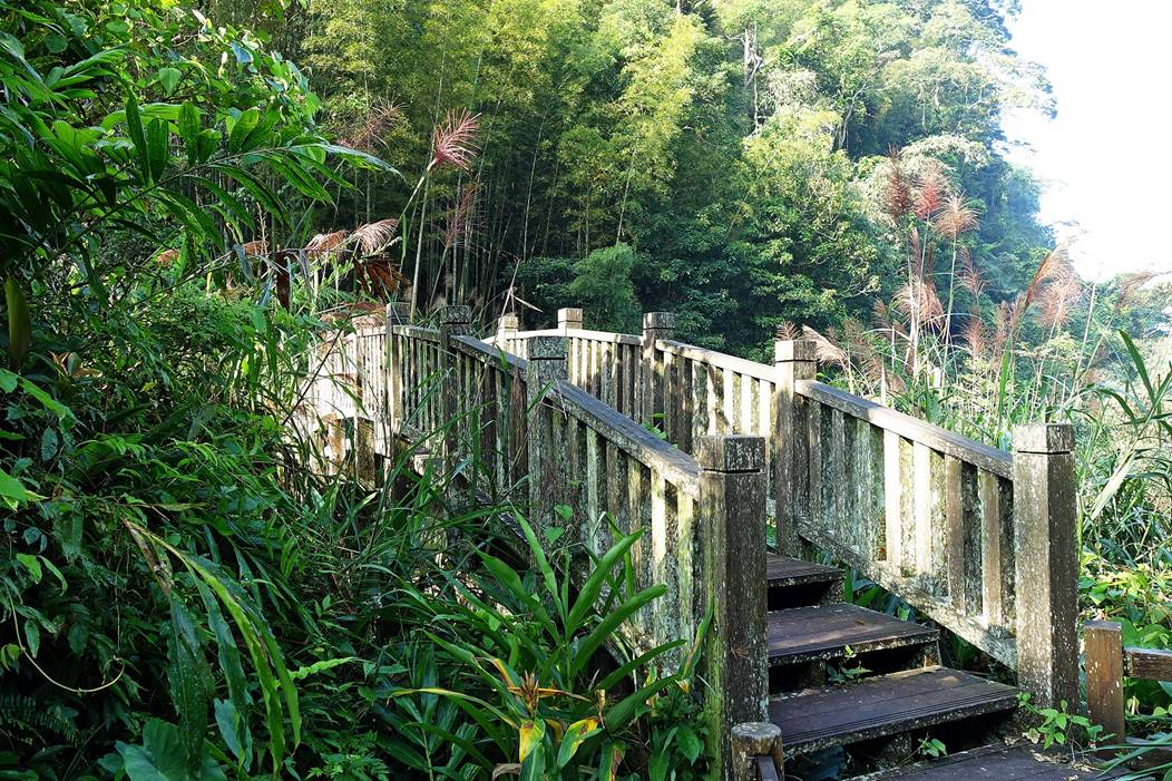
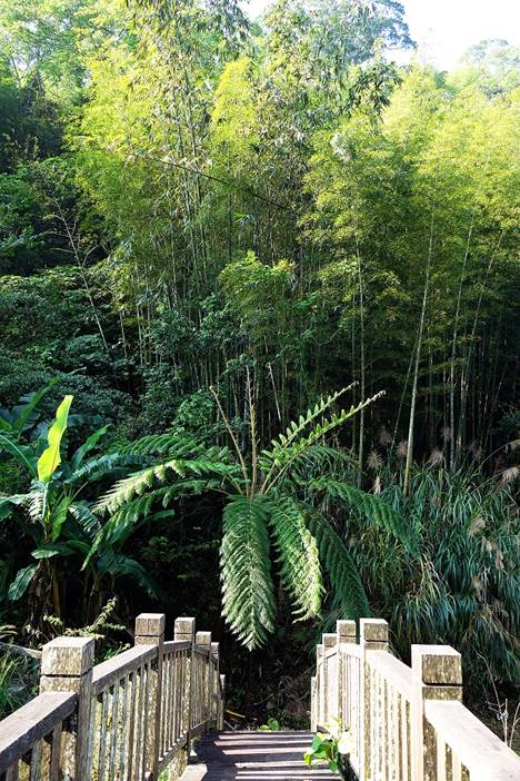
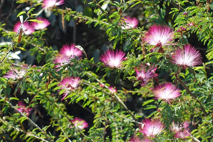
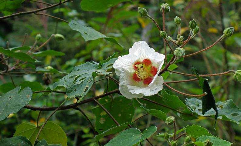
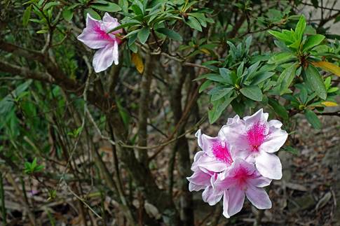
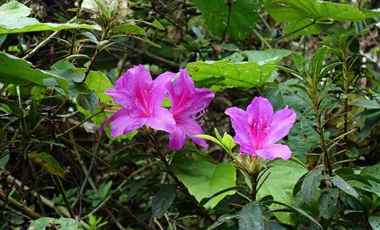
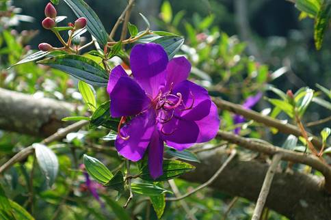
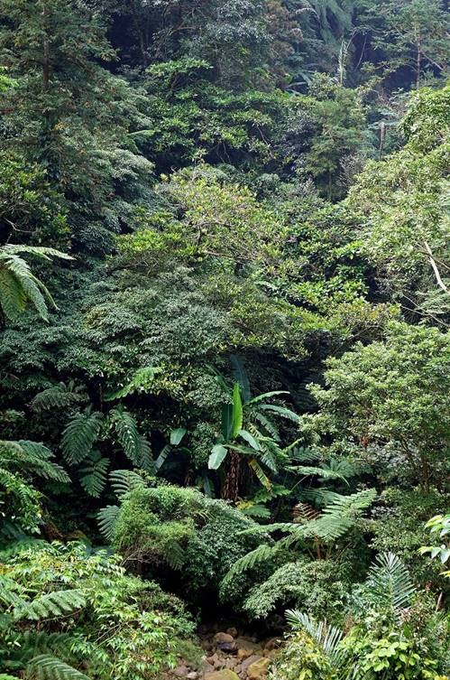
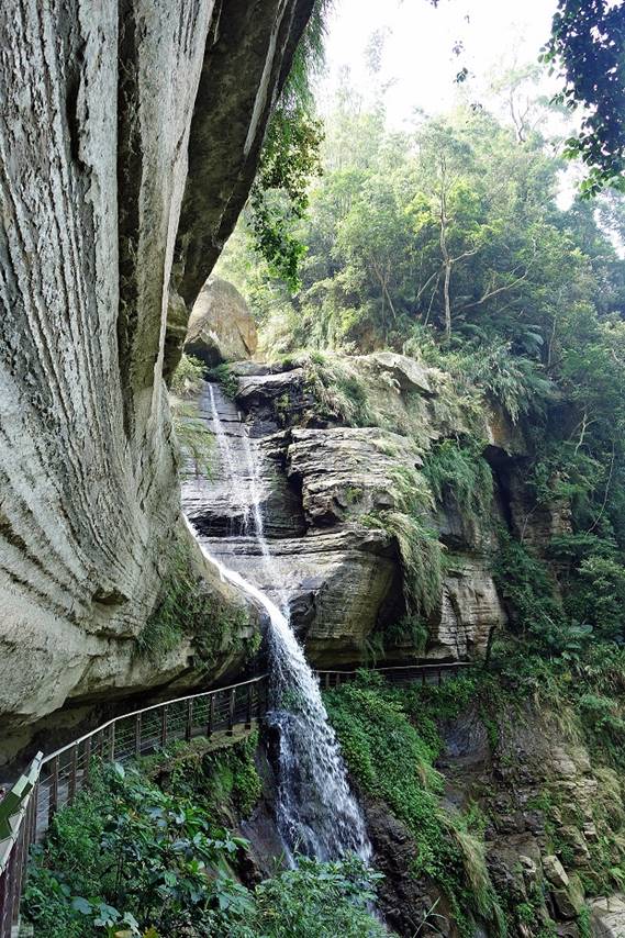
The trail from Rueili to Longgong waterfall (path in green in the
map above) is very different from the Rueili-Fenchihu trail. Its elevation is
lower, ranging between 1100m at Rueili and 650m at the waterfall, and the
vegetation is more tropical with a wide variety of great flowers. However, due
to lack of transportation, like the Rueili-Fenchihu trail, it must be hiked
back.
|
|
|
|
|
|
|
|
|
|
|
|
|
|
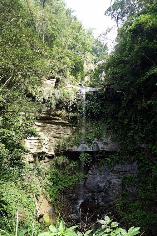
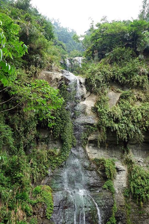
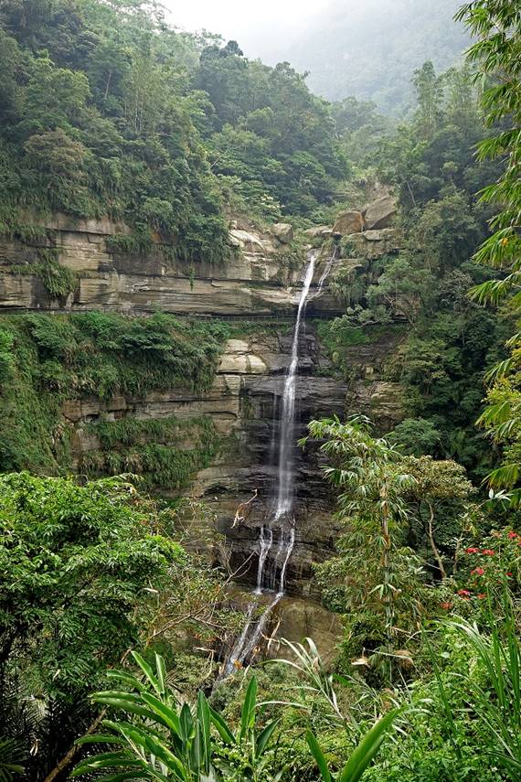
Longgong (″Dragon
Palace″) waterfall.
|
|
|
![]()
Return
to main Taiwan page | Return to my
mountaineering/trekking/travel webpage