Road trip along the Panj river
![]()
Return
to main Tajikistan 2009 webpage
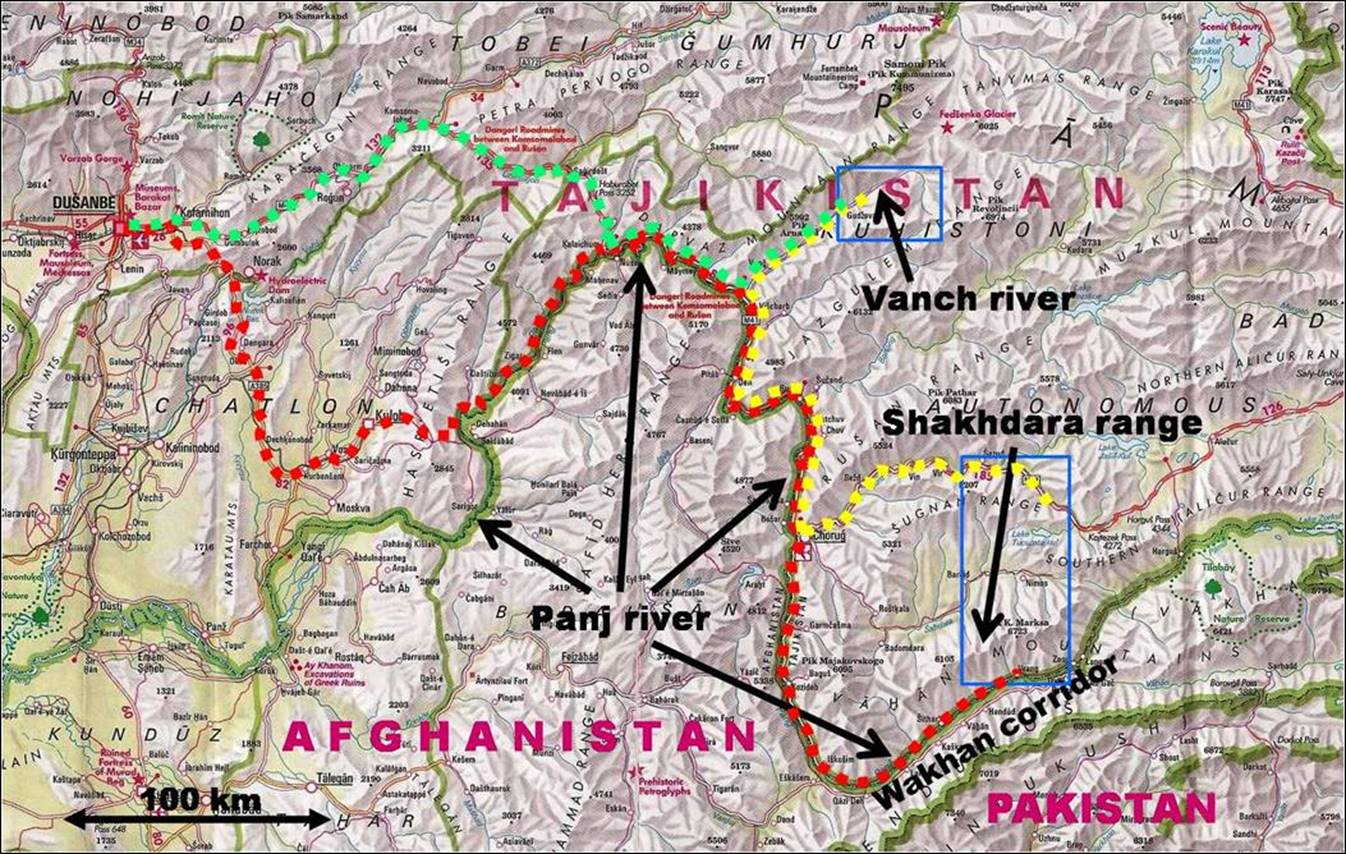
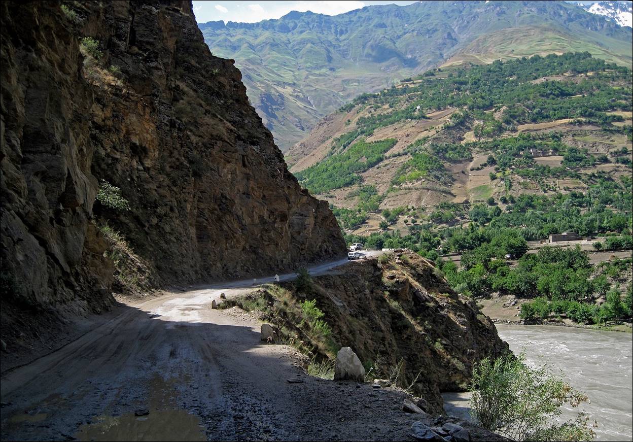
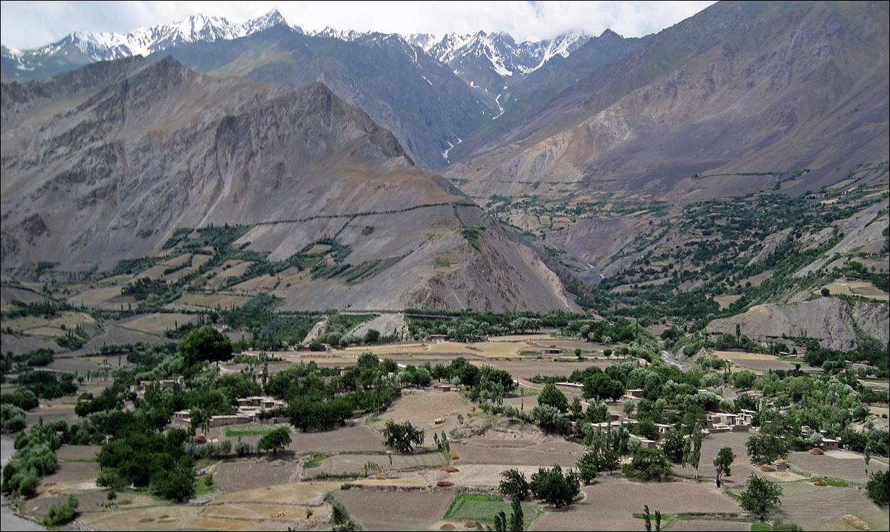
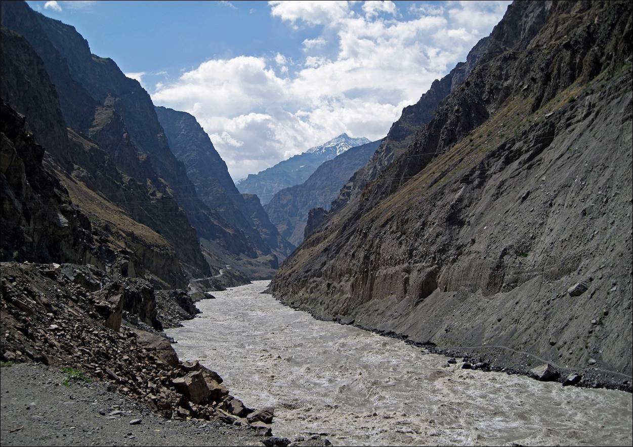
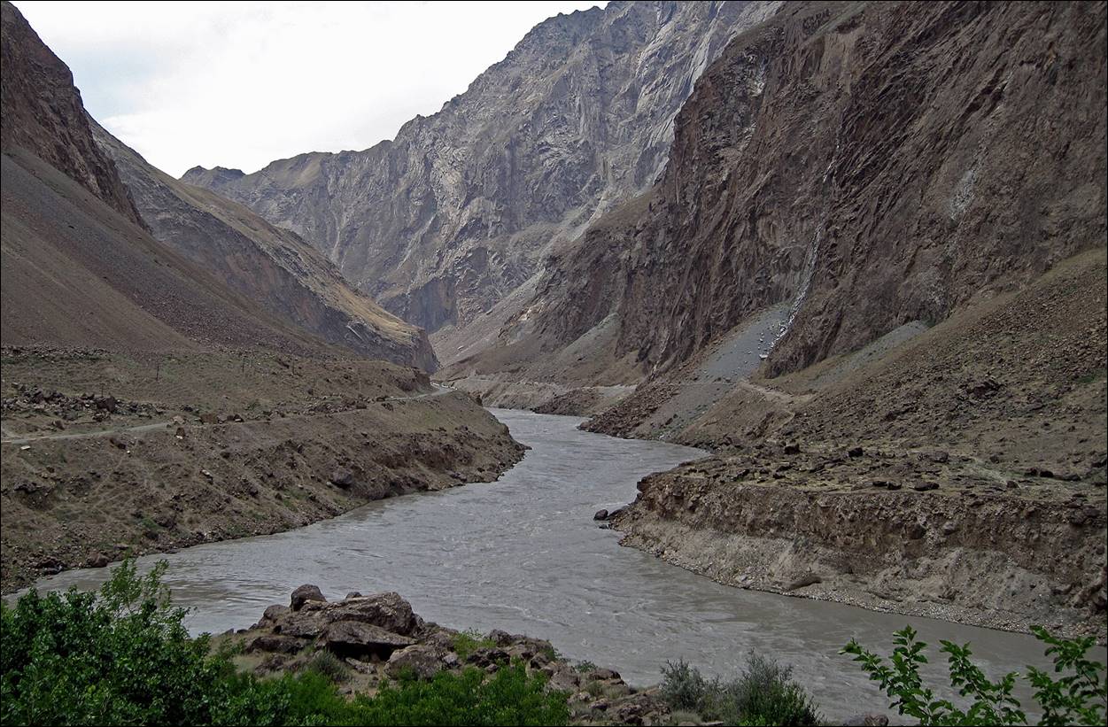
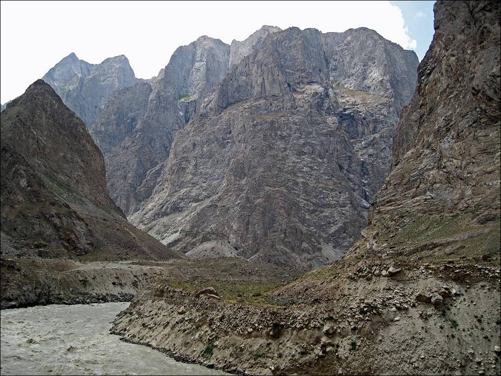
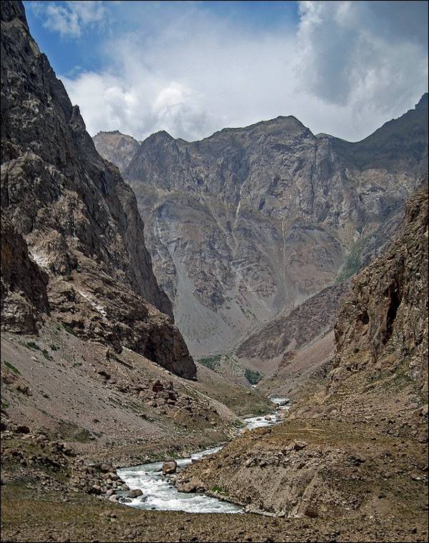
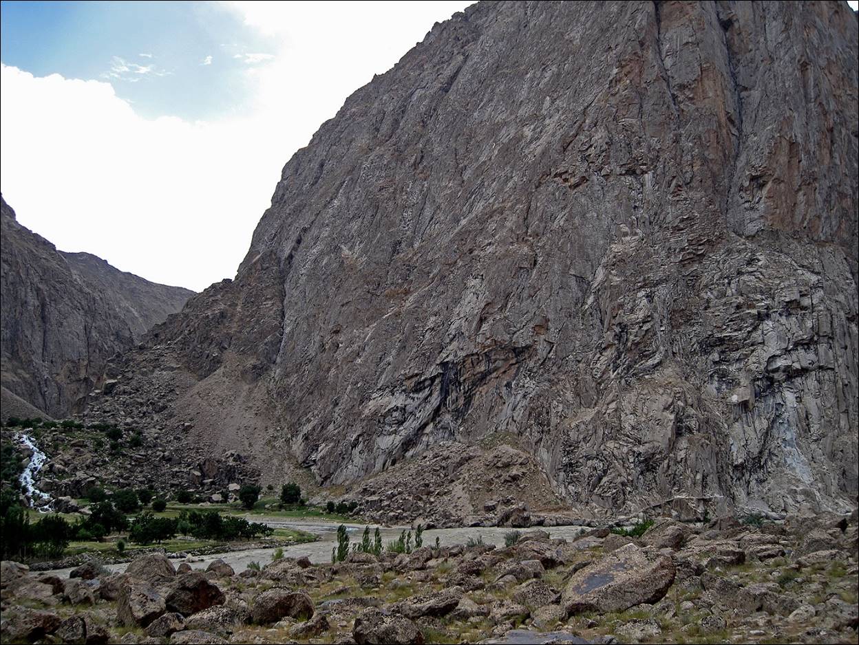
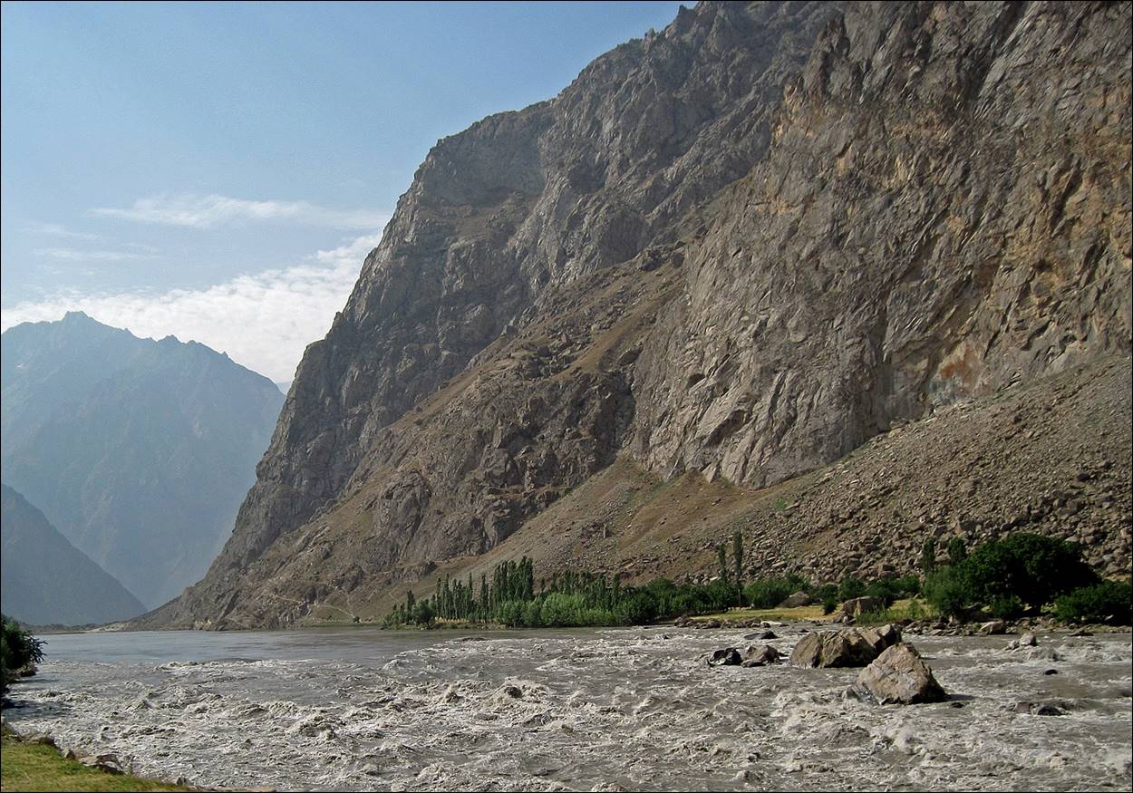
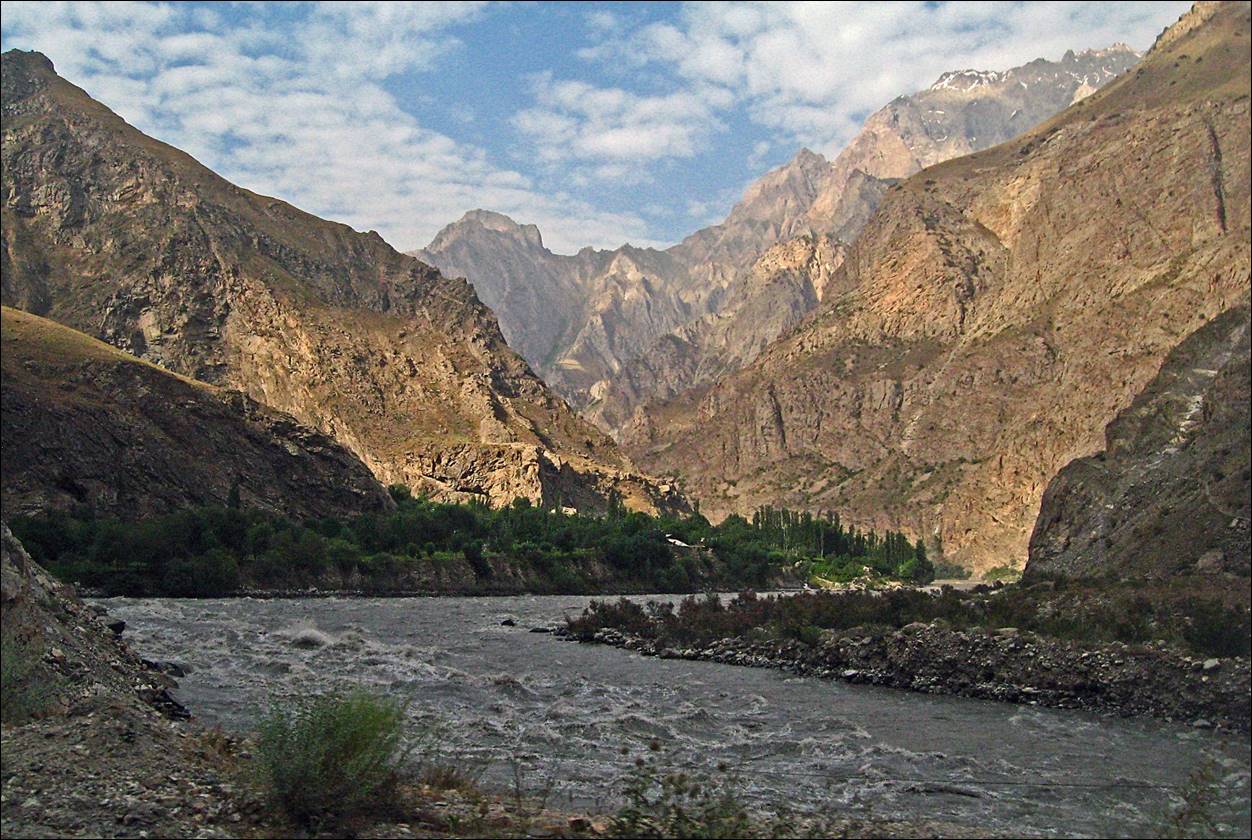
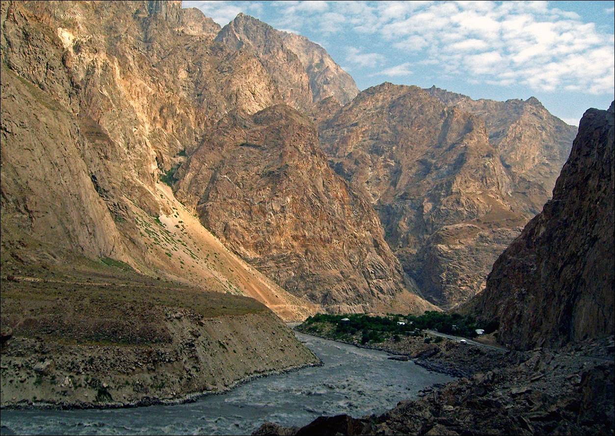
To reach the village of Vrang in the Wakhan corridor, the start of our first trek, we drove from Dushanbe through the towns of Kulob and Khorog. Between Dushanbe and Kulob, the road is moderately interesting. Soon after Kulog, we crossed a pass and reached the Panj river that separates Tajikistan from Afghanistan. We followed the Panj river until Vrang. Most of the way, the Panj canyon is deep and narrow. On the Tajik side, the road is quite bad, but on the Afghan side there is only a narrow foot path connecting few villages.
Map.
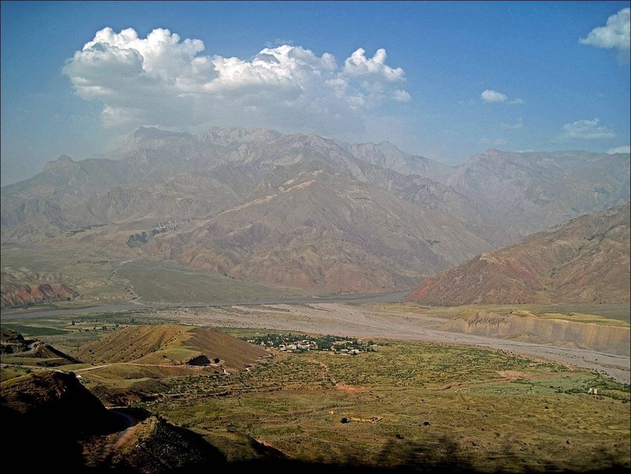
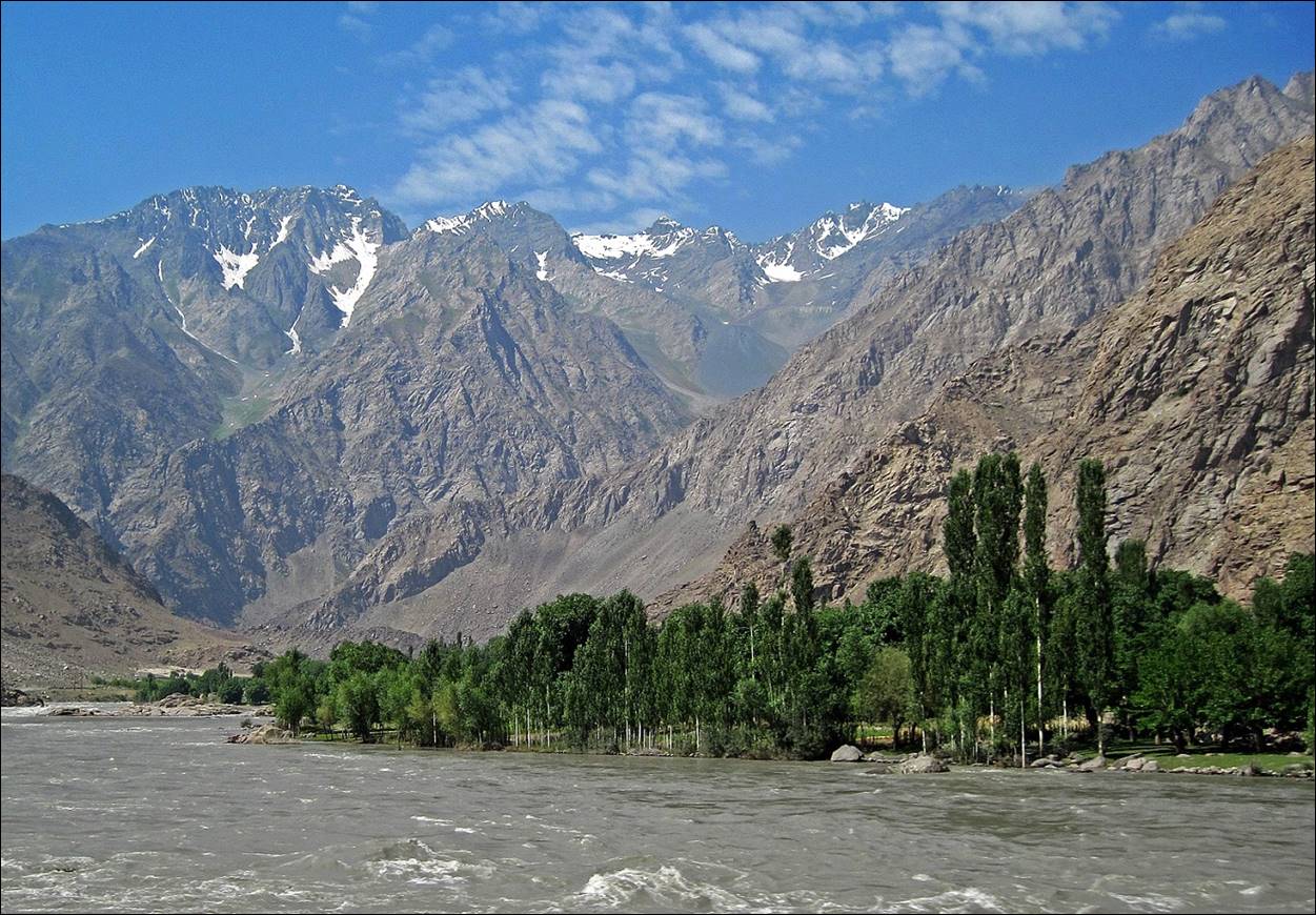
First view of the Panj river after Kulob.
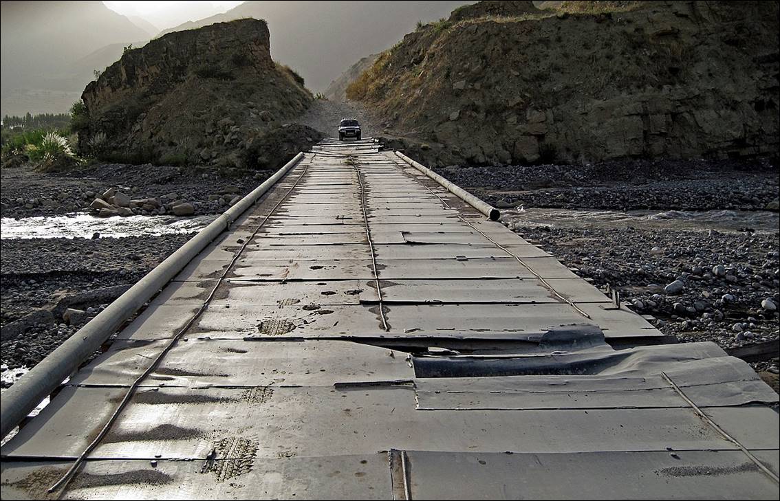
Bridge along the way and
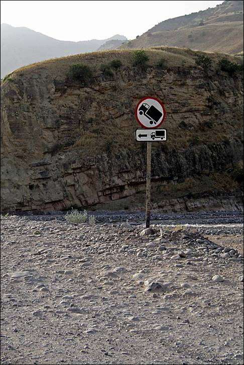
sign posted before it.
|
|
|
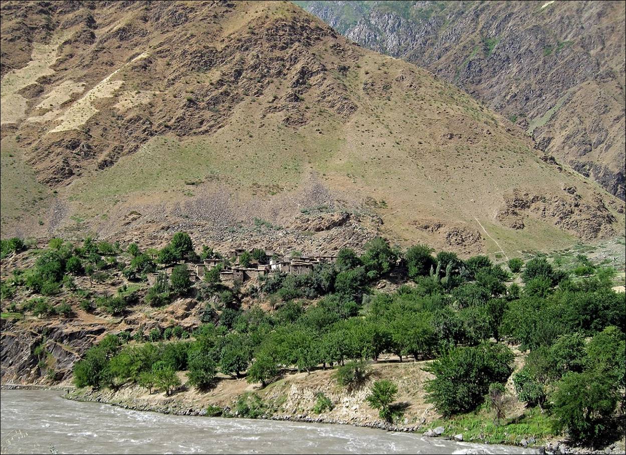
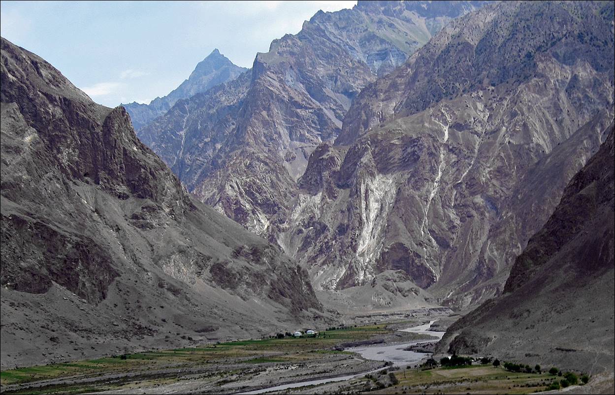
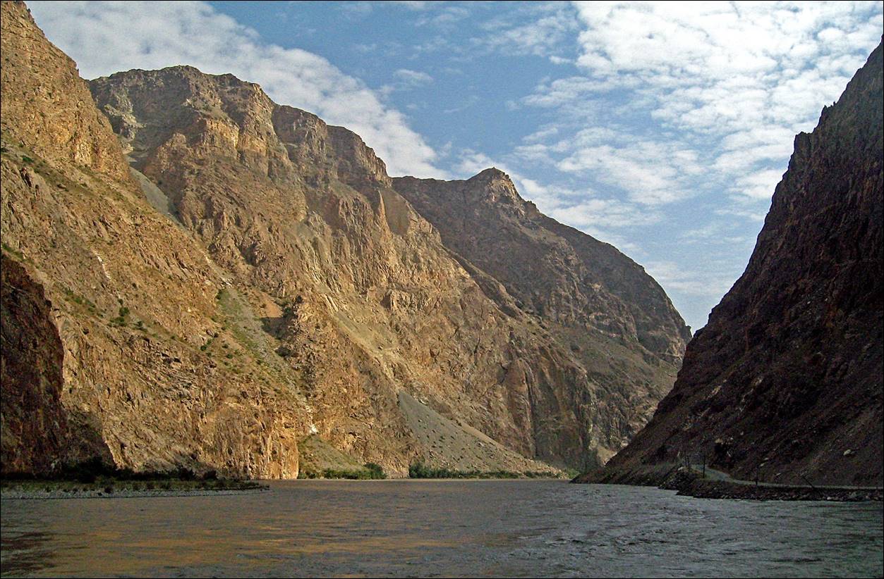
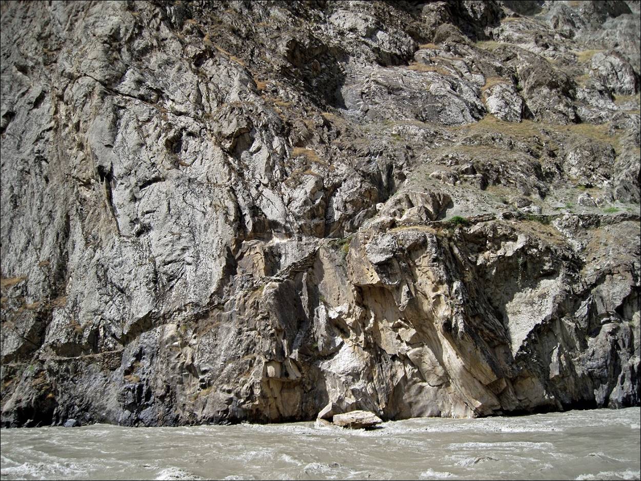
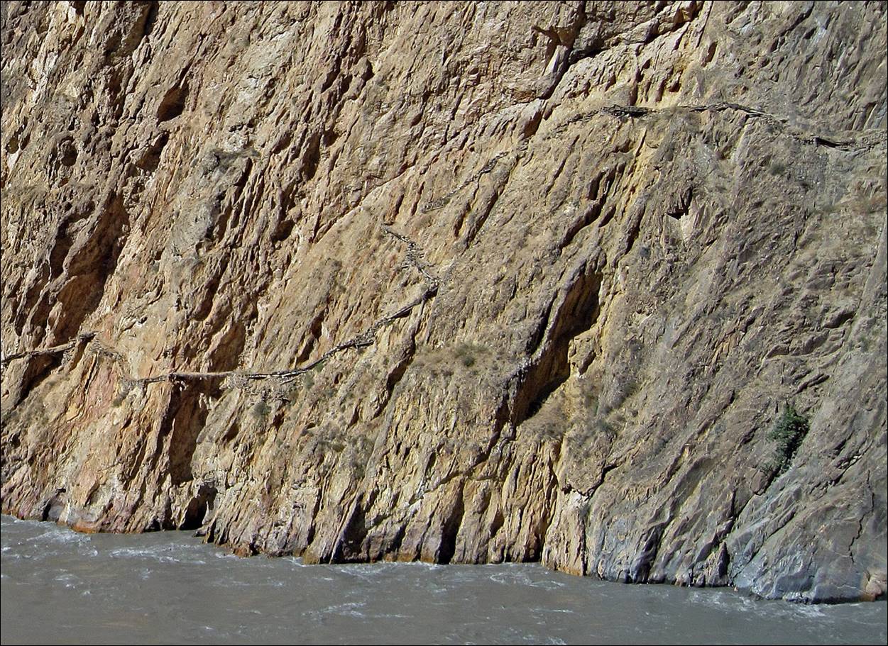
The Afghan side of the
river looks most of the time like a fortress protected by steep mountains.
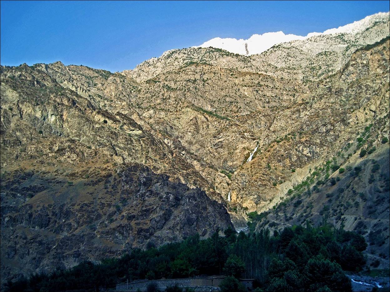
Along the Panj river.
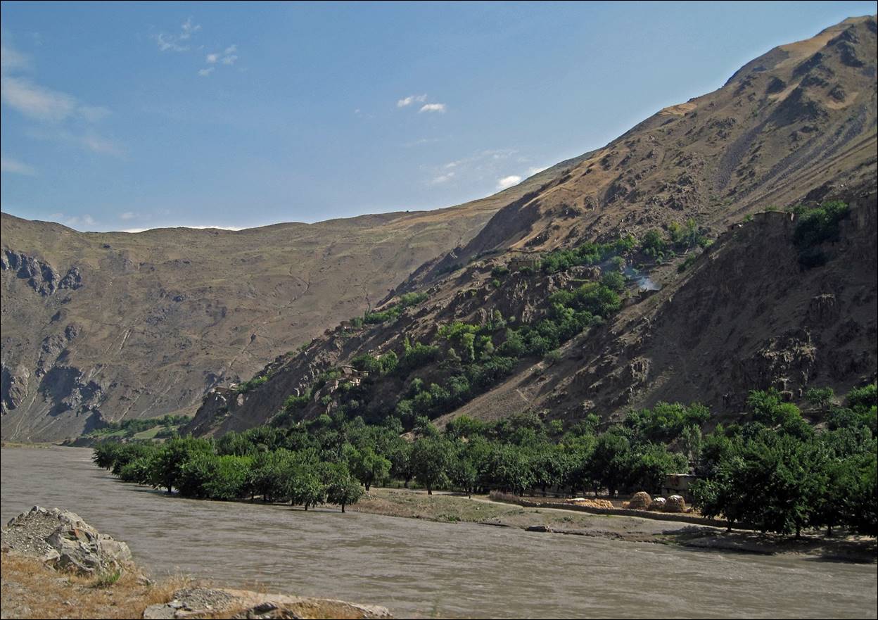
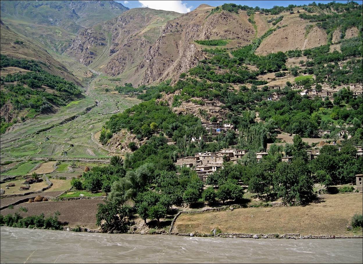
Afghan
villages on the opposite side of the river.

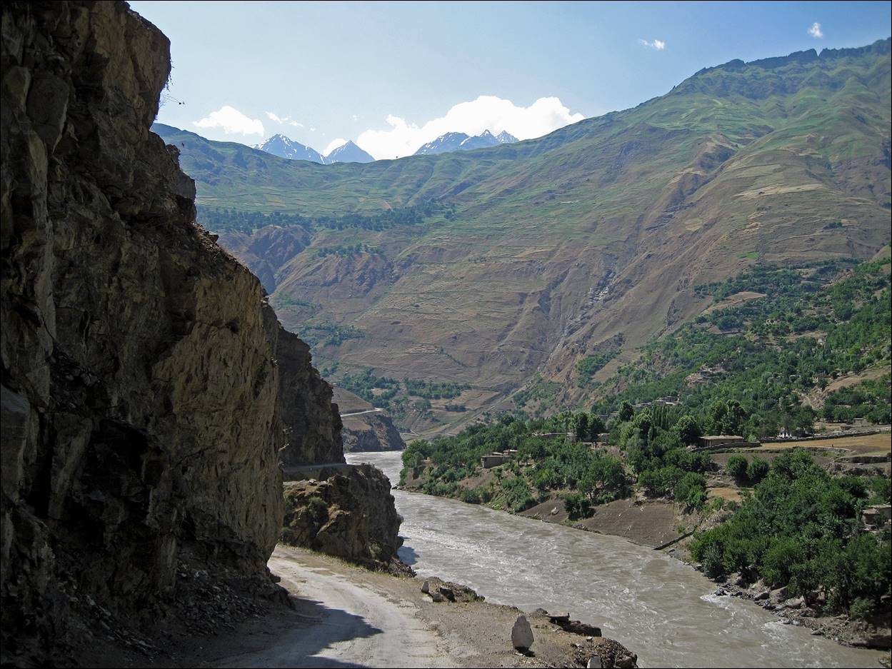
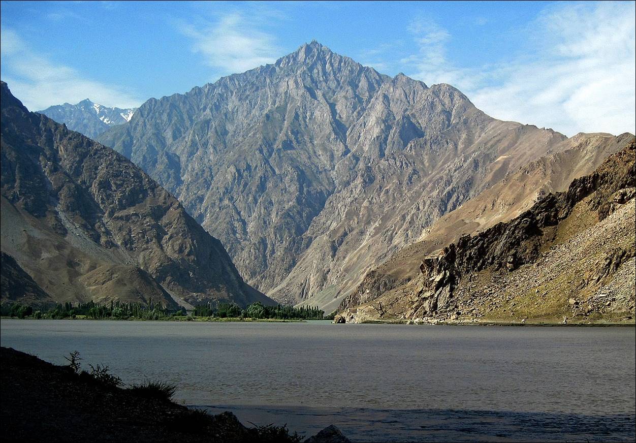
In the Panj canyon.
|
|
|
Photos of the Panj canyons taken in the early morning during my 2010 trip.
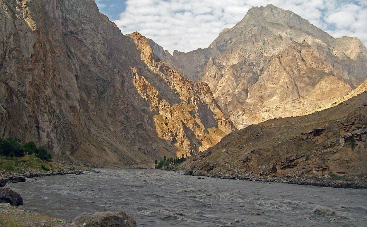
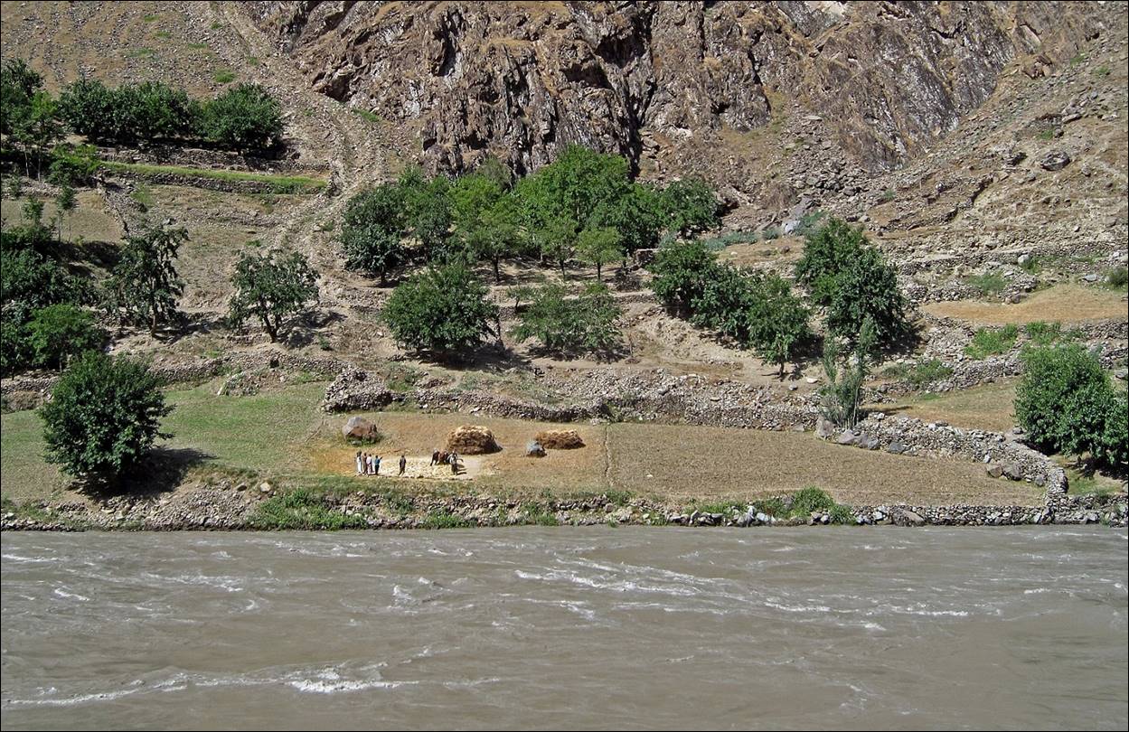
Narrow trails
on the Afghan side.

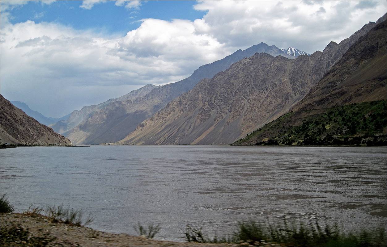
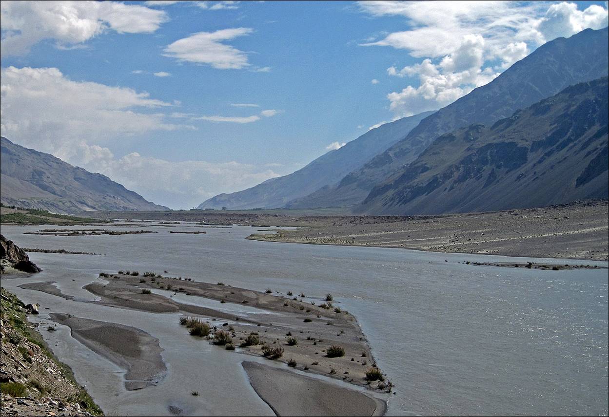
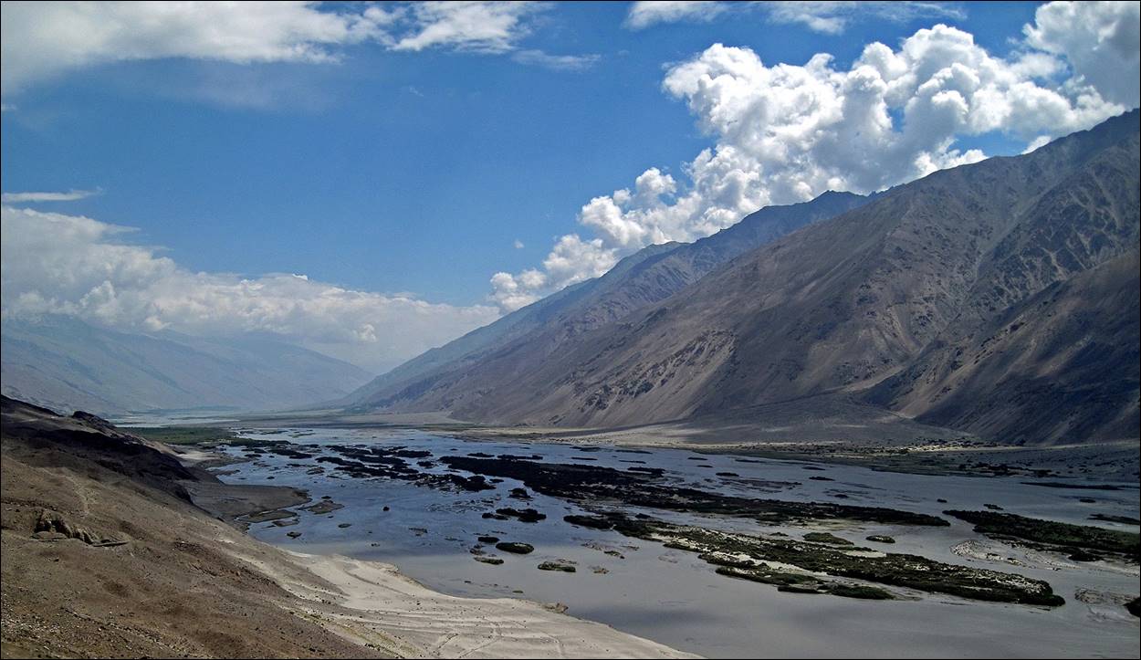
A few kilometers before Rushan village, the Panj river widens.
All along the way international organizations were active removing landmines dating from the civil war that took place in the 90‛s.

At the
confluence of the Gunt with the Panj
river, Khorog (population: ~30,000 people, elevation:
2200m) is the capital of the Gorno-Badakhshan
Autonomous Region (GBAO) of Tajikistan.
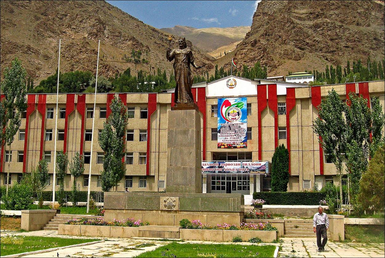
Provincial
government building, with a statue of Ismoil Somoni (photo taken during my 2010 trip).
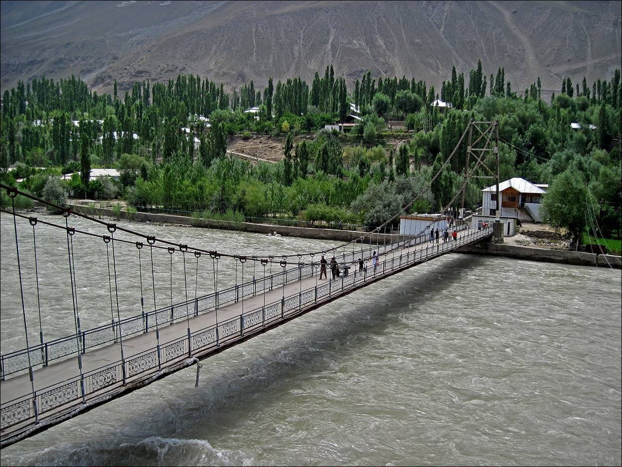
Khorog‛s pedestrian bridge over the Gunt river.
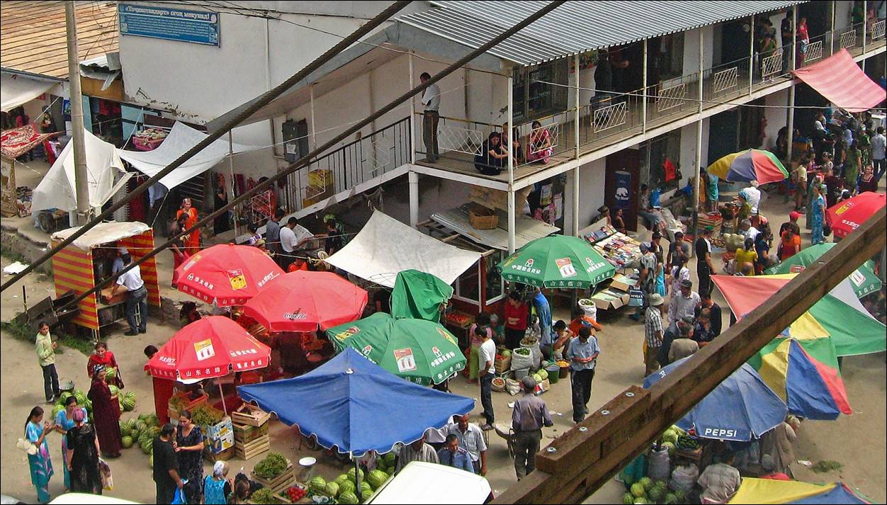
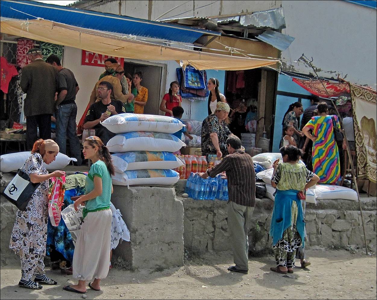
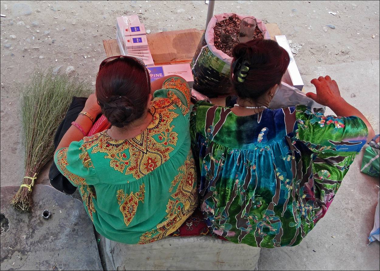
In the market
of Khorog.
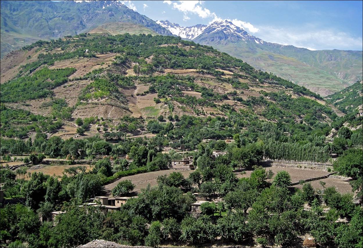
Wakhan corridor between the Pamir and the Hindu-Kush.
Centuries ago, the Wakhan
corridor was a busy branch of the Silk Road, not only for trade, but also for
the not always peaceful spread of religions, especially Zoroastrianism,
Buddhism, and Islamism.
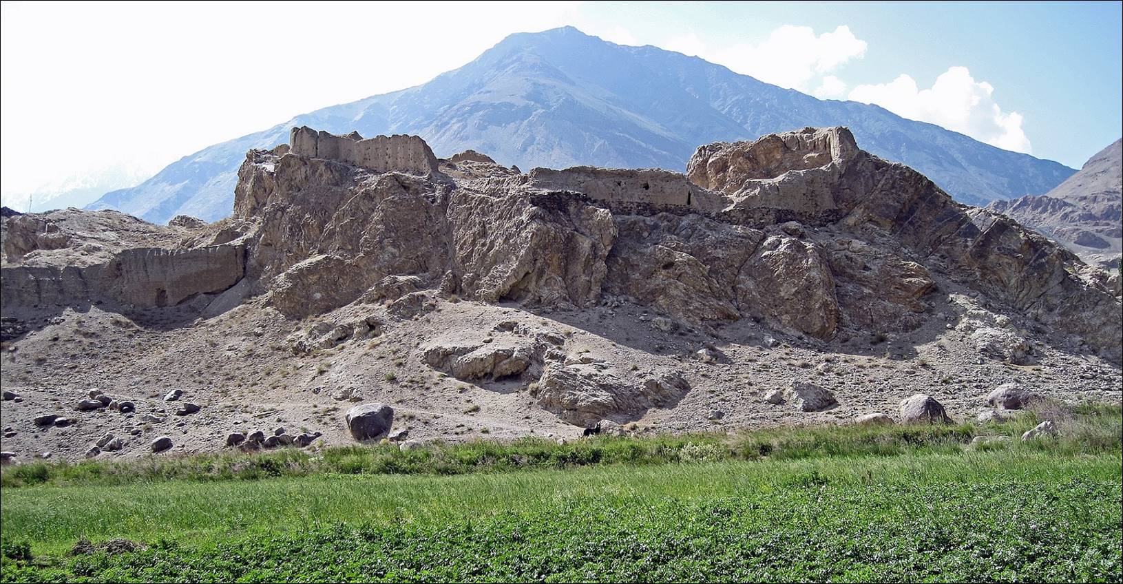
Remains of a fortress known as Kakhkaha near the village of Namadgur,
believed to date from the 3rd century BC. According to a legend, its defenders were
Zoroastrians dressed in black,
Ruins of a
Buddhist stupa above Vrang village.
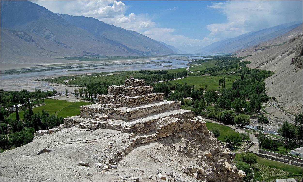
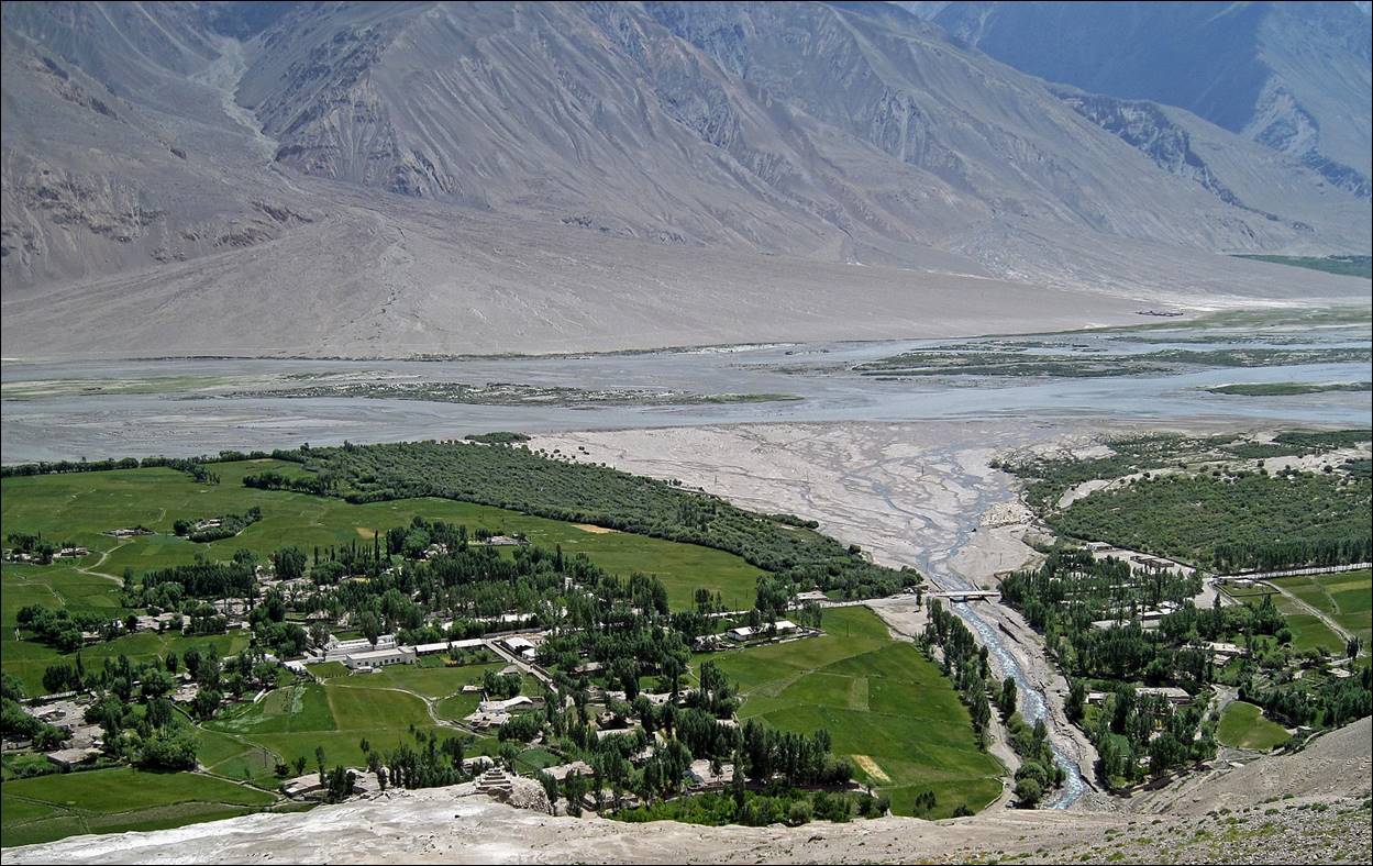
View over the
village of Vrang from the stupa.
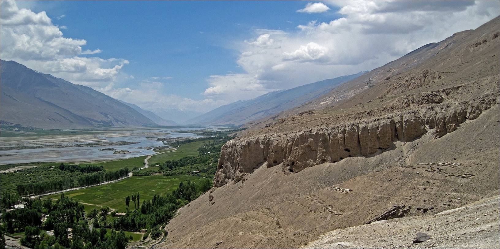
Buddhist caves in the cliff overlooking Vrang village.
![]()