Trek across the Shakhdara range: From Vrang to Jelondy
![]()
Return
to main Tajikistan 2009 webpage
This 10-day trek starts in Vrang, a village in the Wakhan corridor that separates the Pamir (Tajikistan) from the Hindu-Kush (Afghanistan). It crosses the Shakhdara range at the Vrang Pass (5067m). It ends in Jelondy, a small village along the so-called Pamir Highway connecting Khorog to Murghab in the Eastern Pamir. Jelondy is locally famous for its hot spring. The stunning Karl Marx and Engels peaks are highlights of this trek.
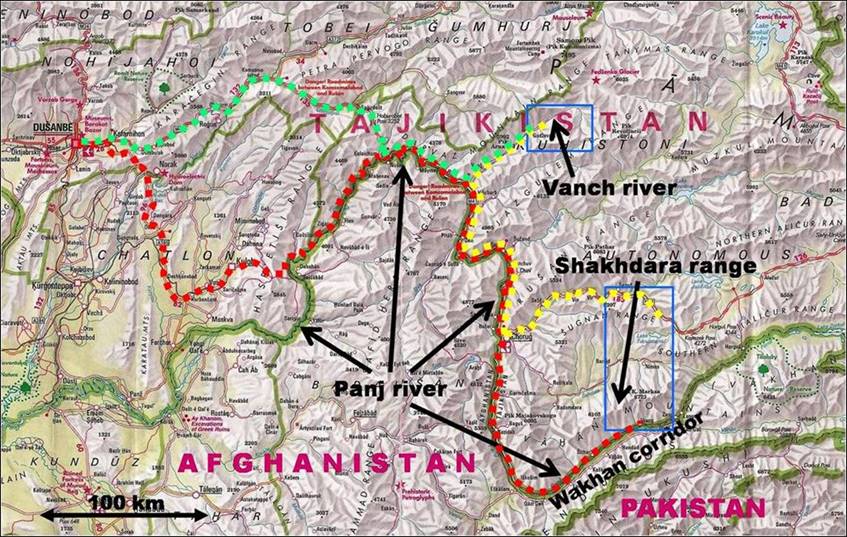
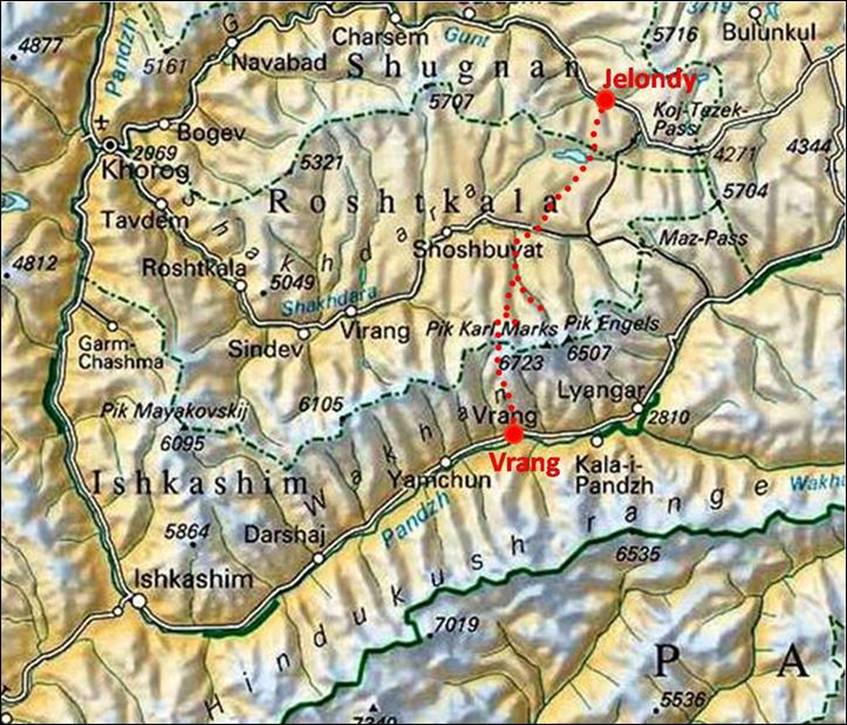
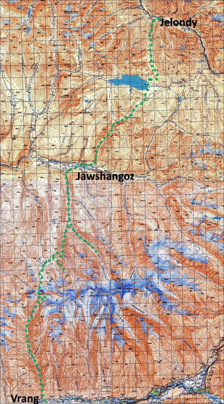
Top left: Map of the trip.
Bottom left: Approximate itinerary in a low-resolution map. Right: Detailed
itinerary in a collage of four topographic maps (each square represents a 2x2km
area). To access the four 100K topographic maps at full-resolution click on the
following links: map1, map2, map3, and map4.
|
|
|
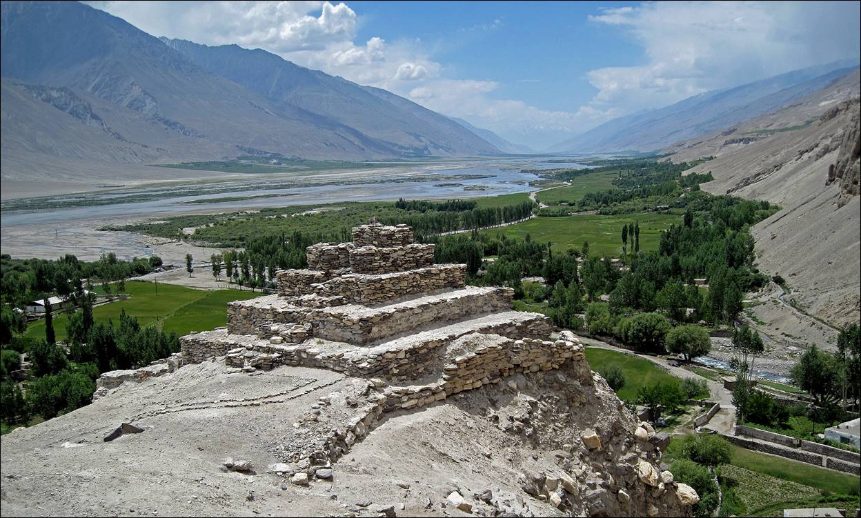
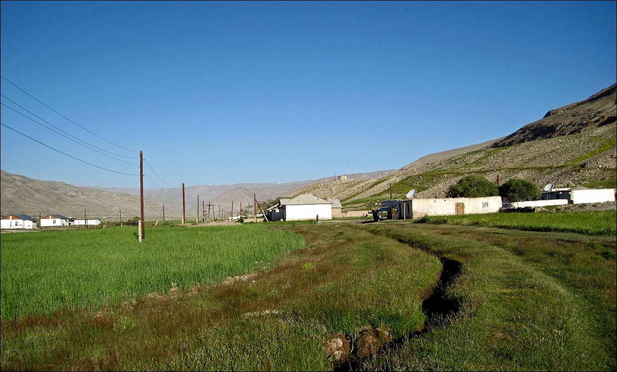
The trek
begins near the Buddhist stupa above Vrang village,
on the north side of the Panj river,
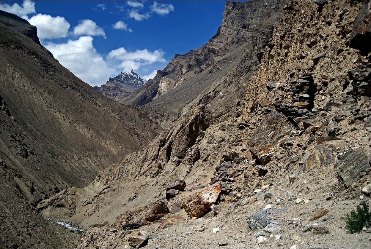
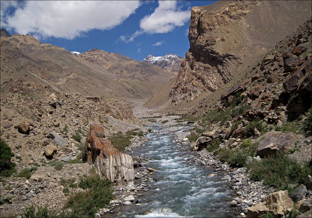
and immediately enters the gorge of the Vnukut river.
Views of the gorge of the Vnukut river above Vrang.
This was a short day, as we
started trekking from Vrang in the afternoon. We set
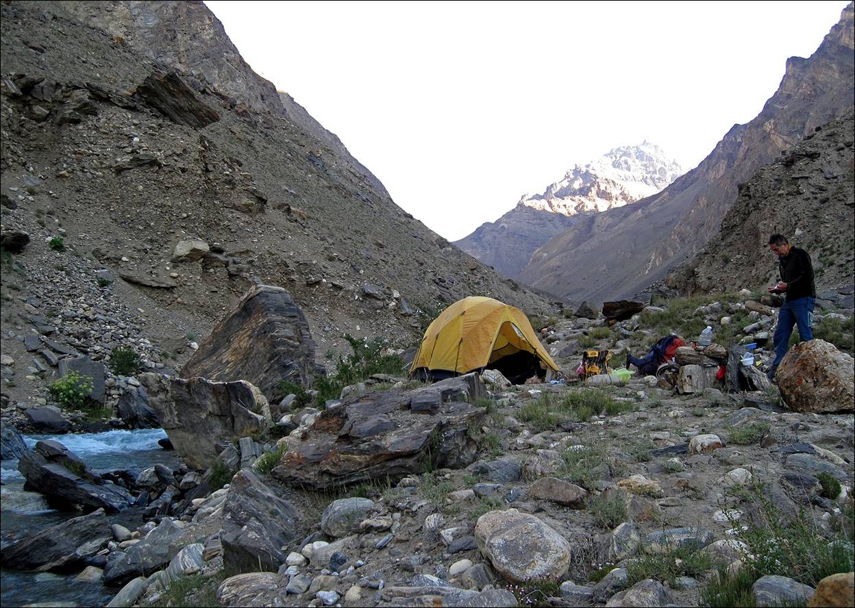
our first camp near Vnukut river.
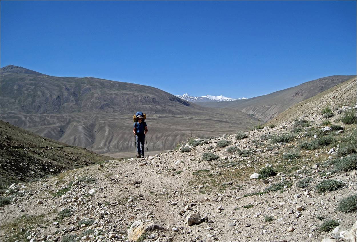
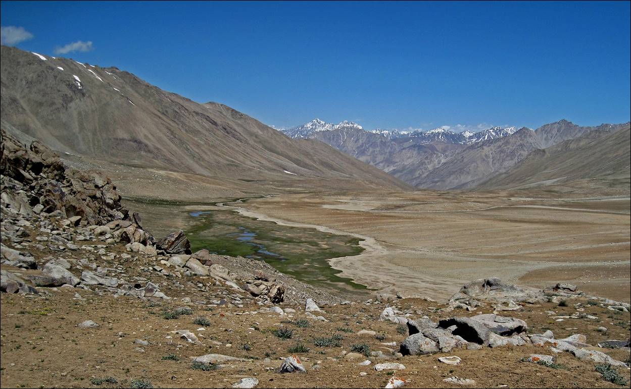
Further up in the valley of the Vnukut river: many rocks and some few flowers
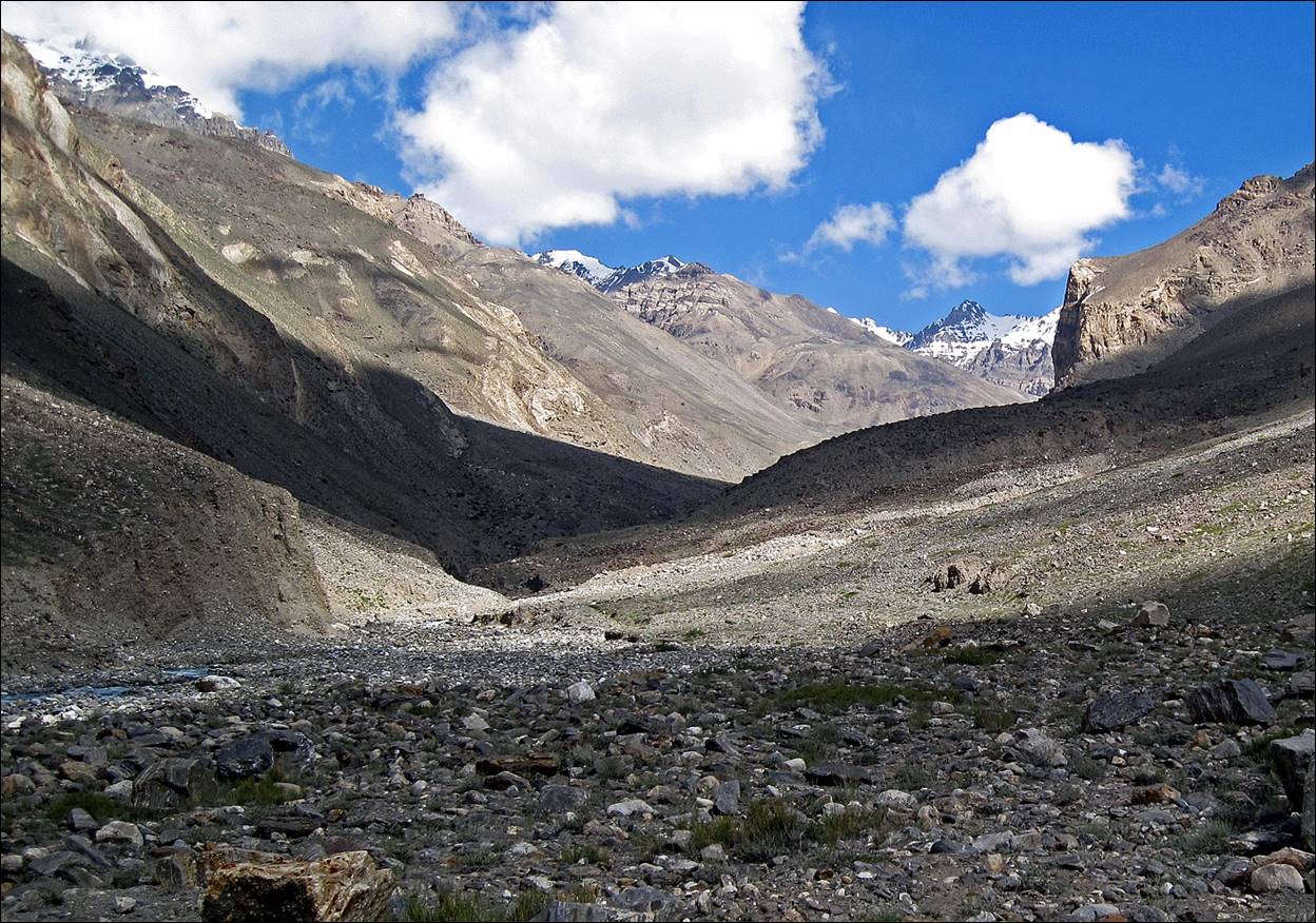
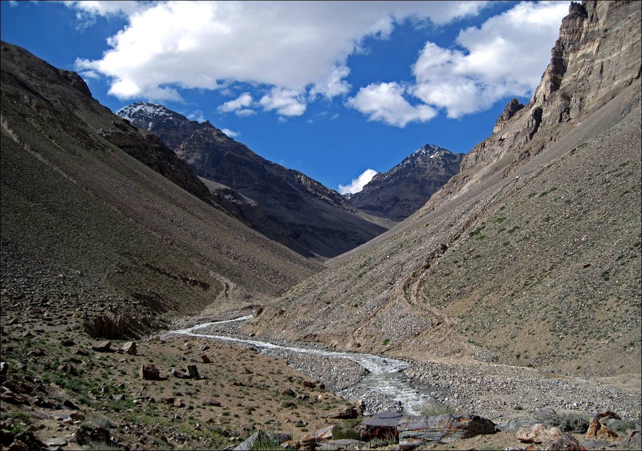
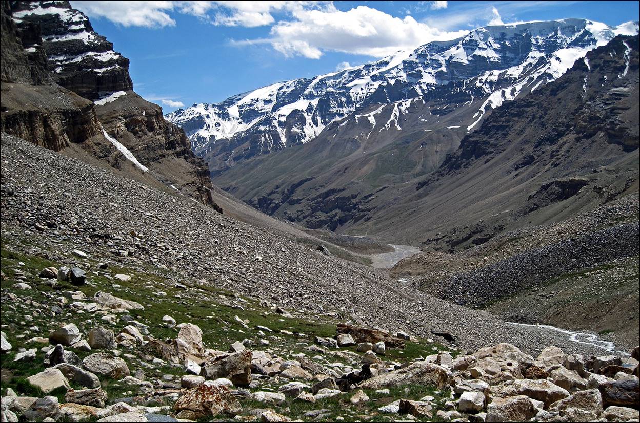
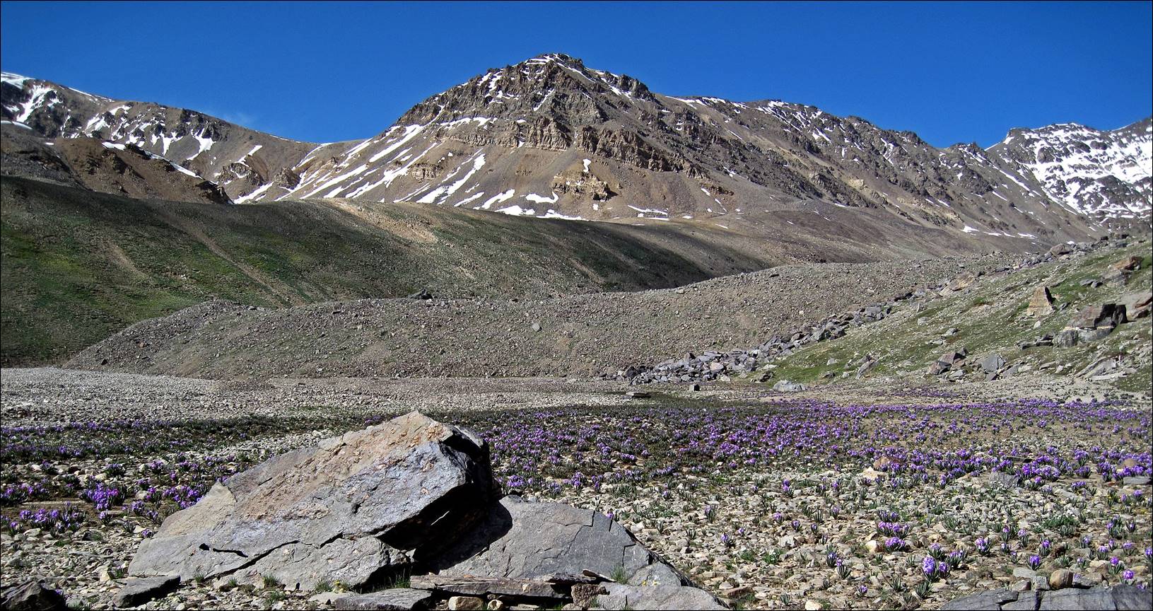
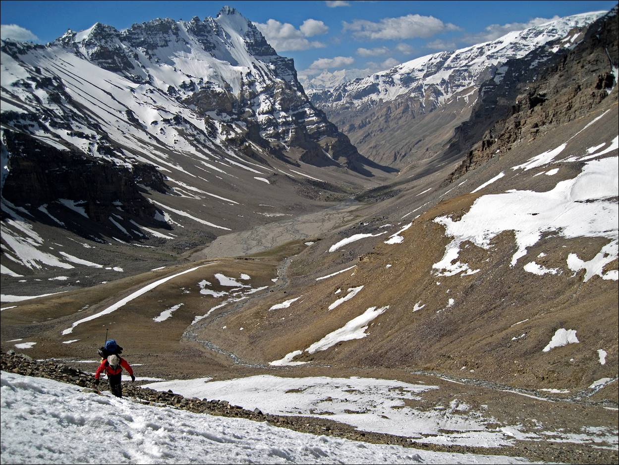
Looking back toward the south during the ascent of the Vnukut valley: views of peaks in the Hindu-Kush and Karakoram mountains.
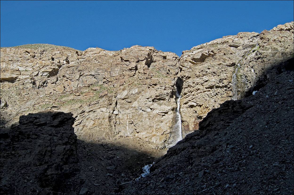
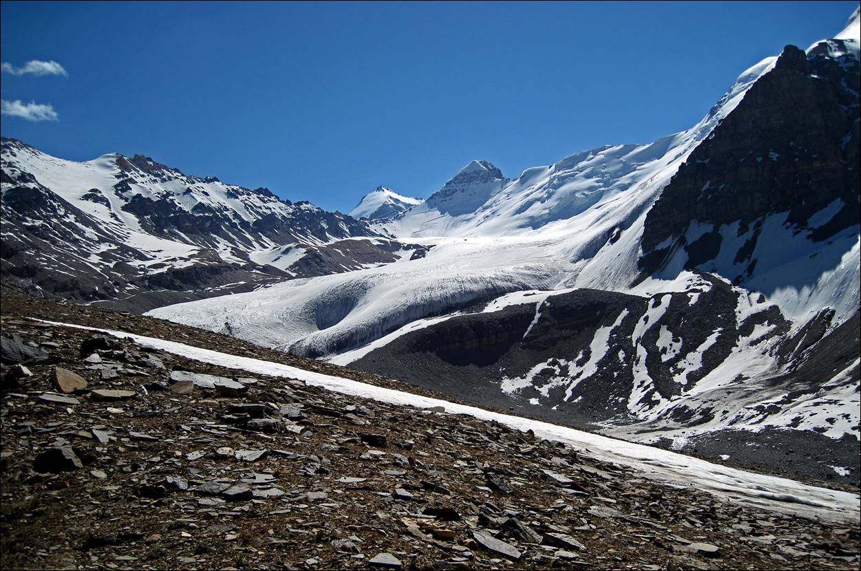
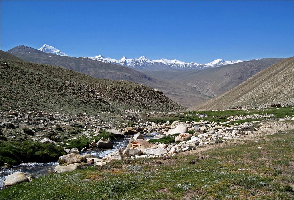
View of the glacier at the end of the Vnukut valley (where it bends toward the East) with some peaks (Ostraya, 5822m, and Ovalnaya, 5780m) of the Shakhdara range in the background.
Our camp at 4560m below Vrang pass.
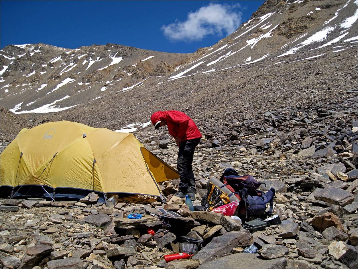
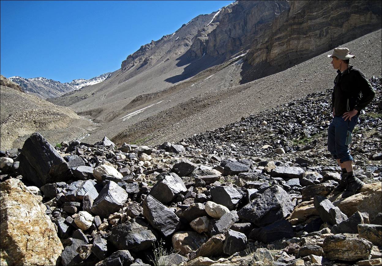
The climb to Vrang pass is easy, but steep and mostly on loose scree.
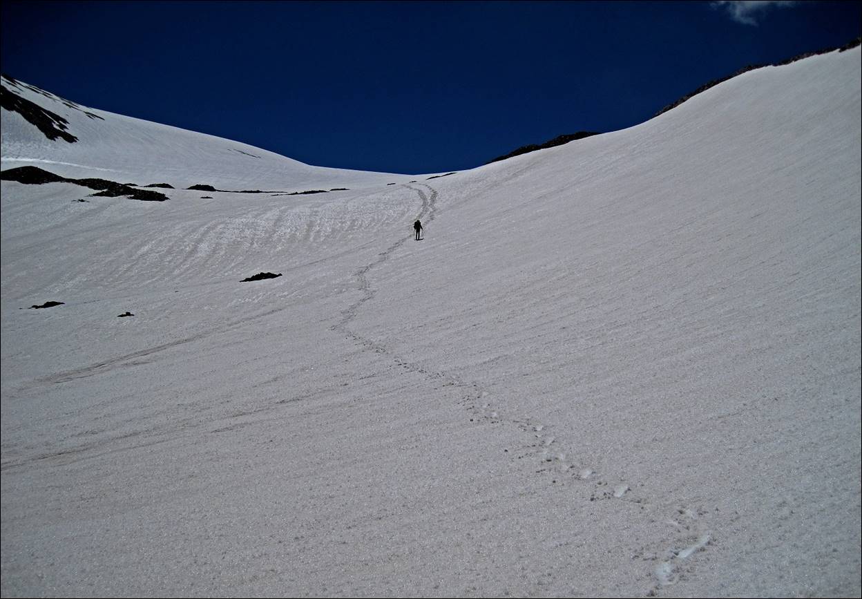
At Vrang pass.
Descent from Vrang pass. This side faces north, so there is much more snow.
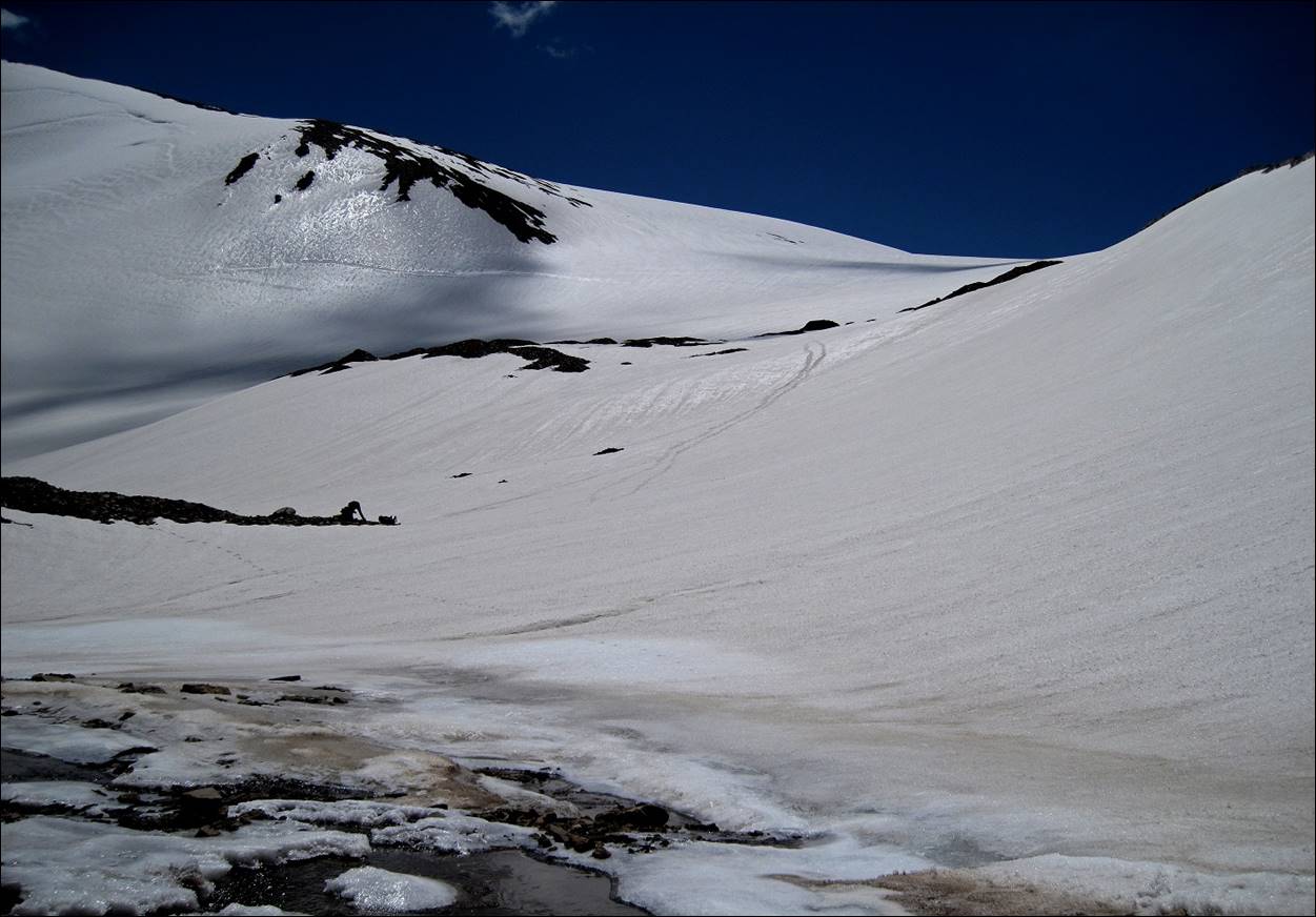
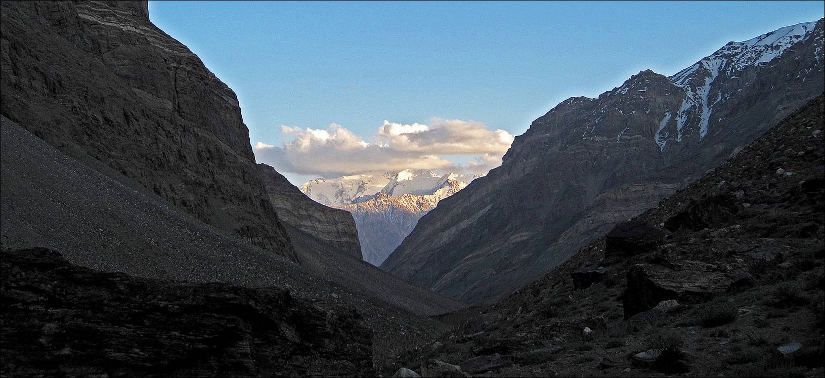
Looking back toward Vrang pass (center).
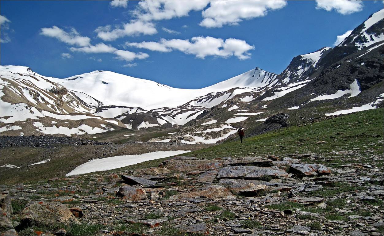
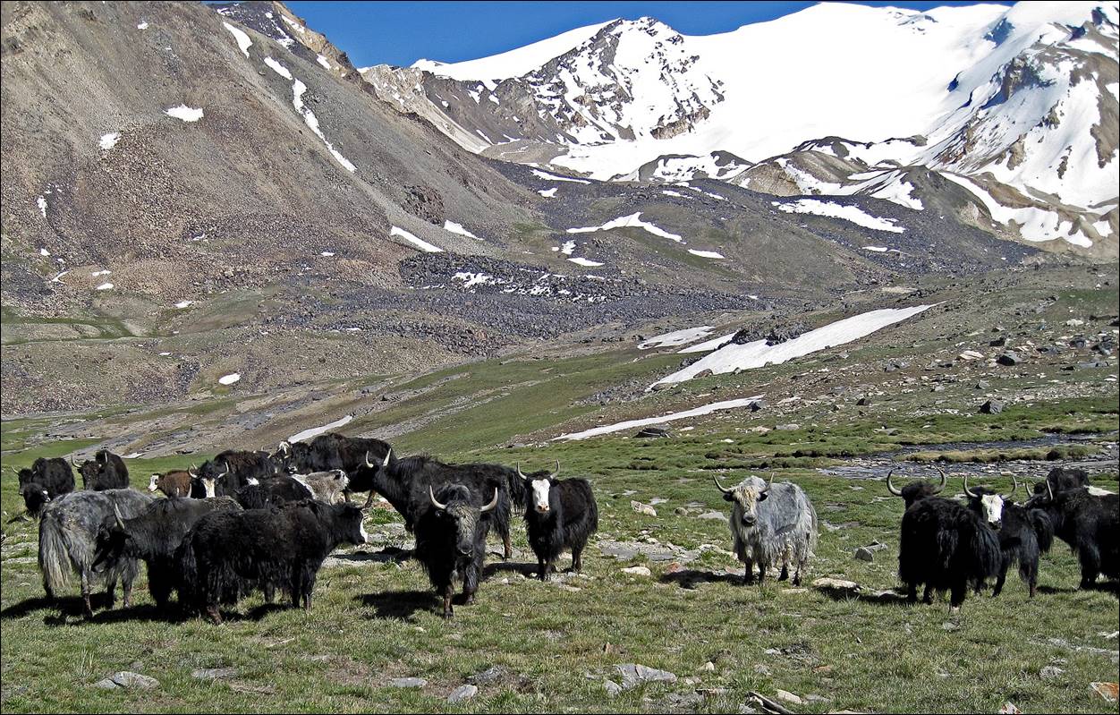
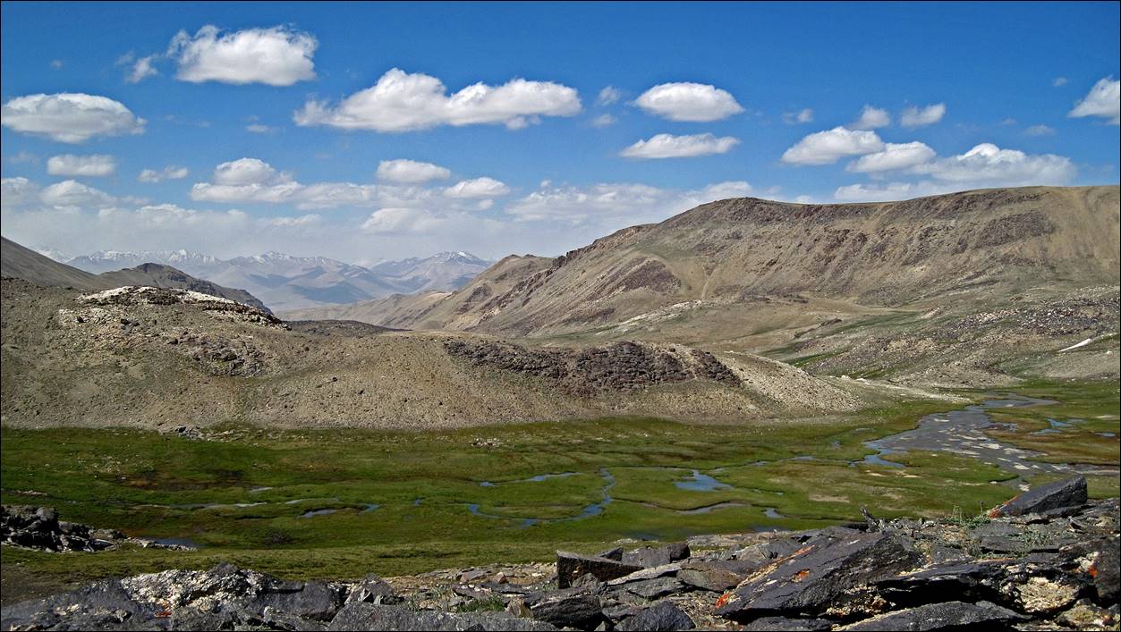
Herd of yaks below the
pass.
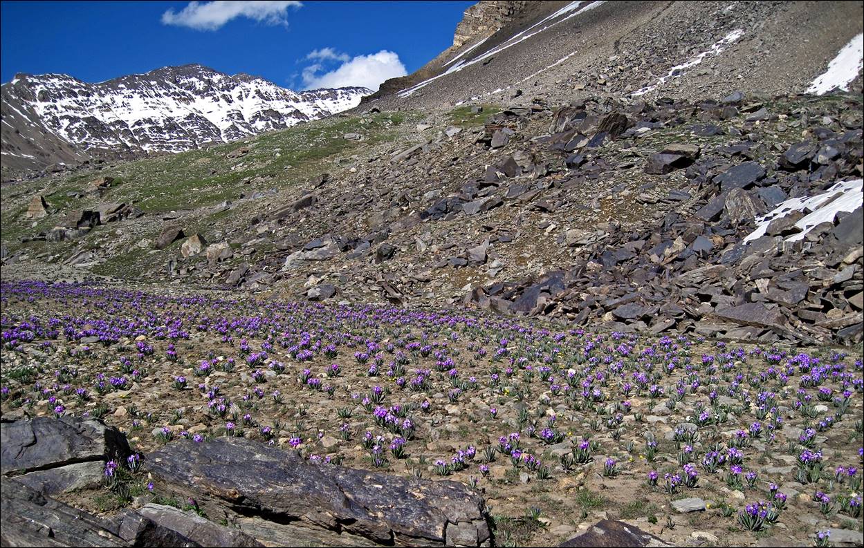
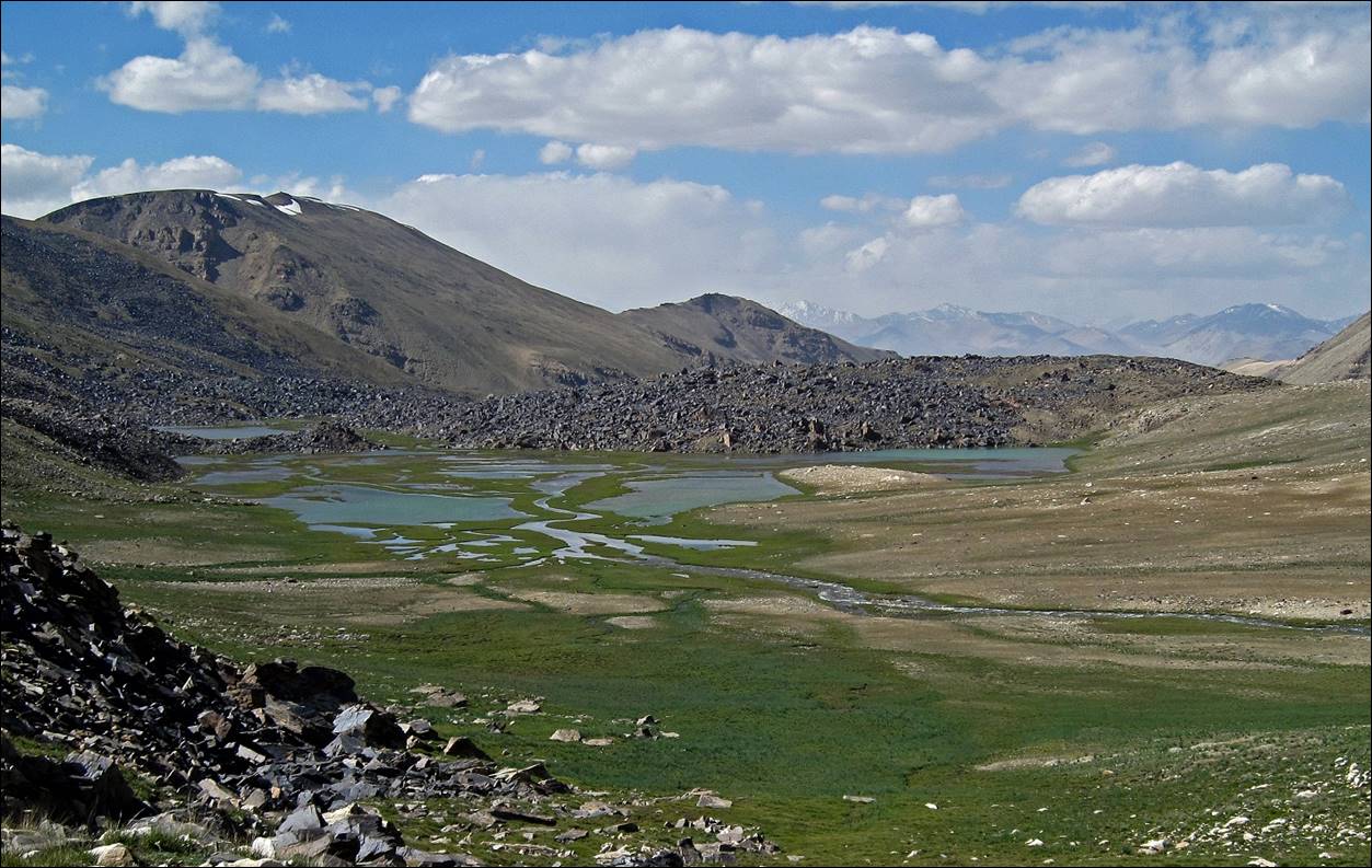
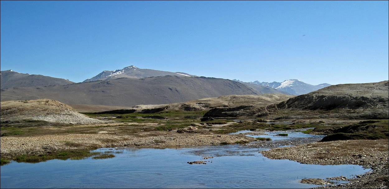
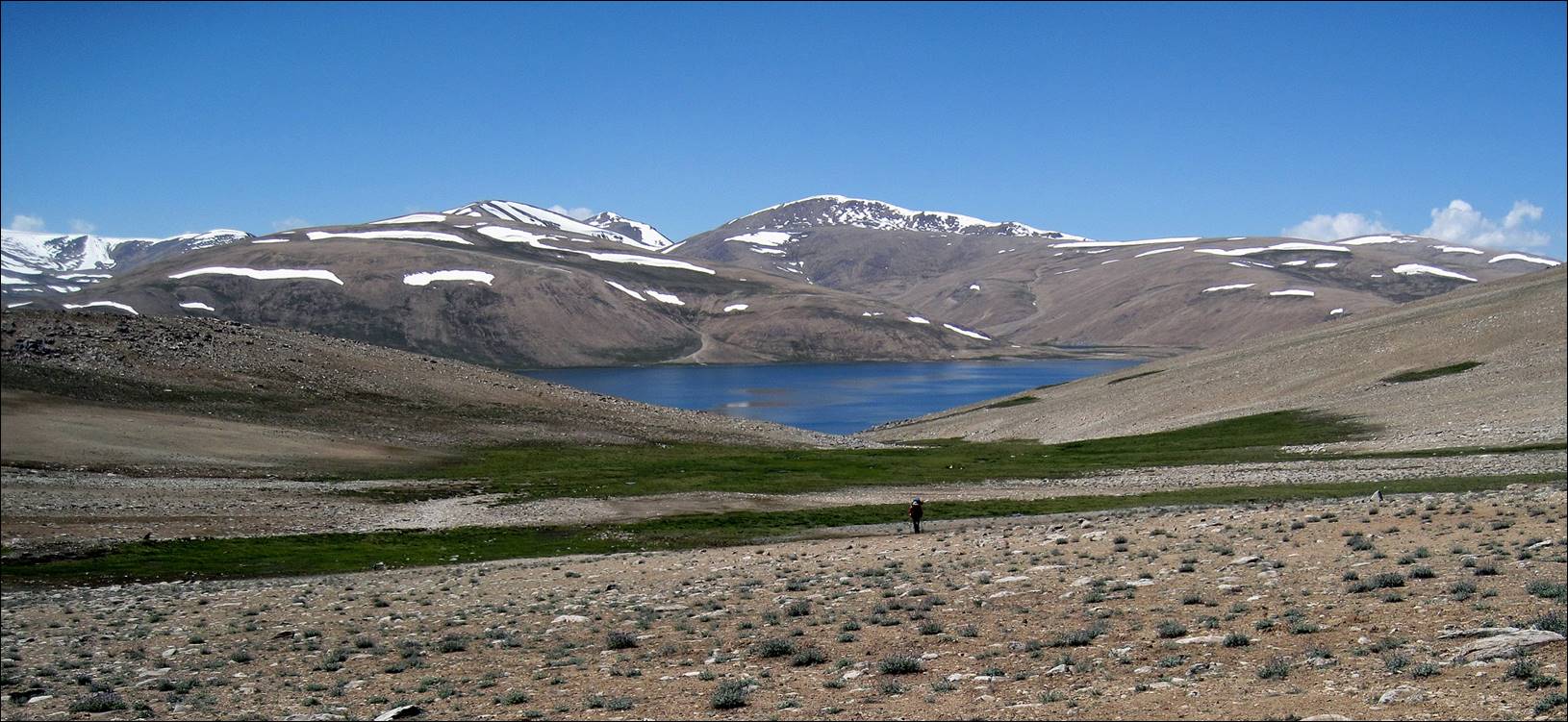
Reaching the Vrang lakes.
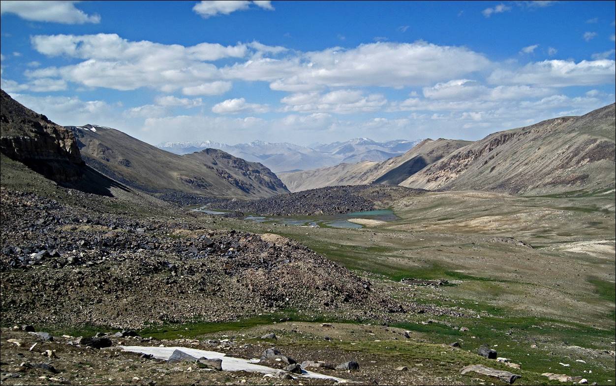
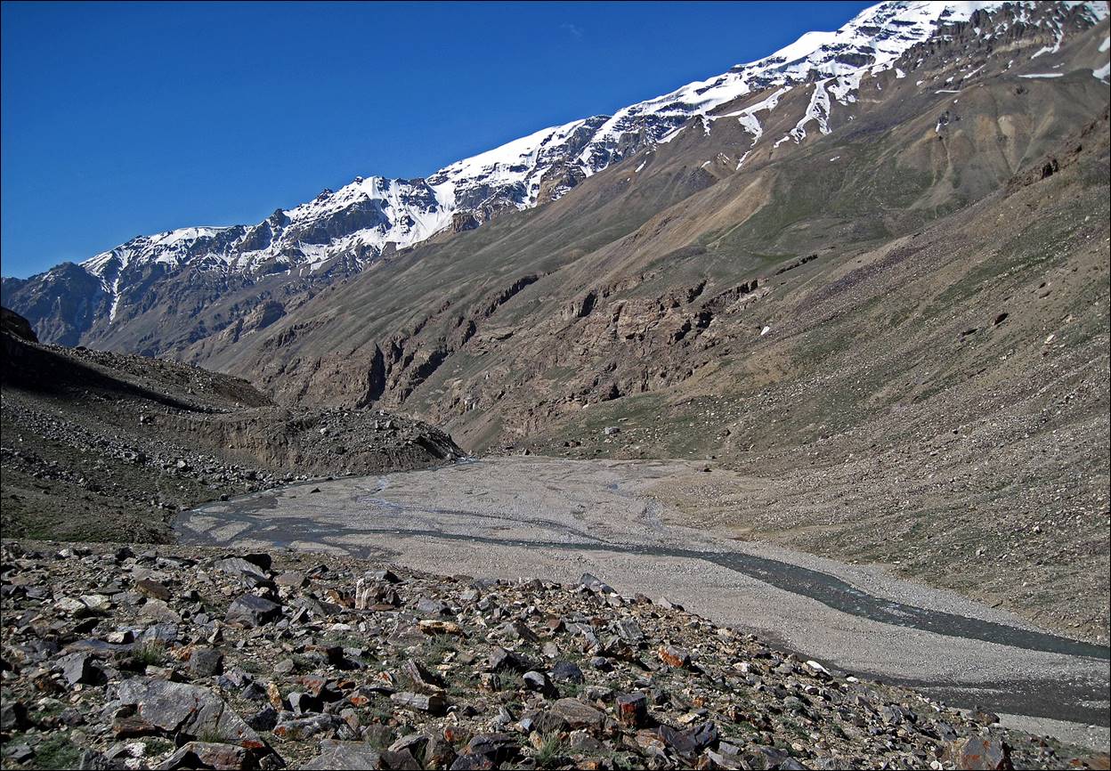
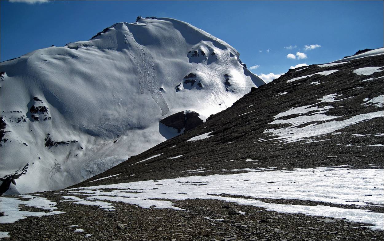
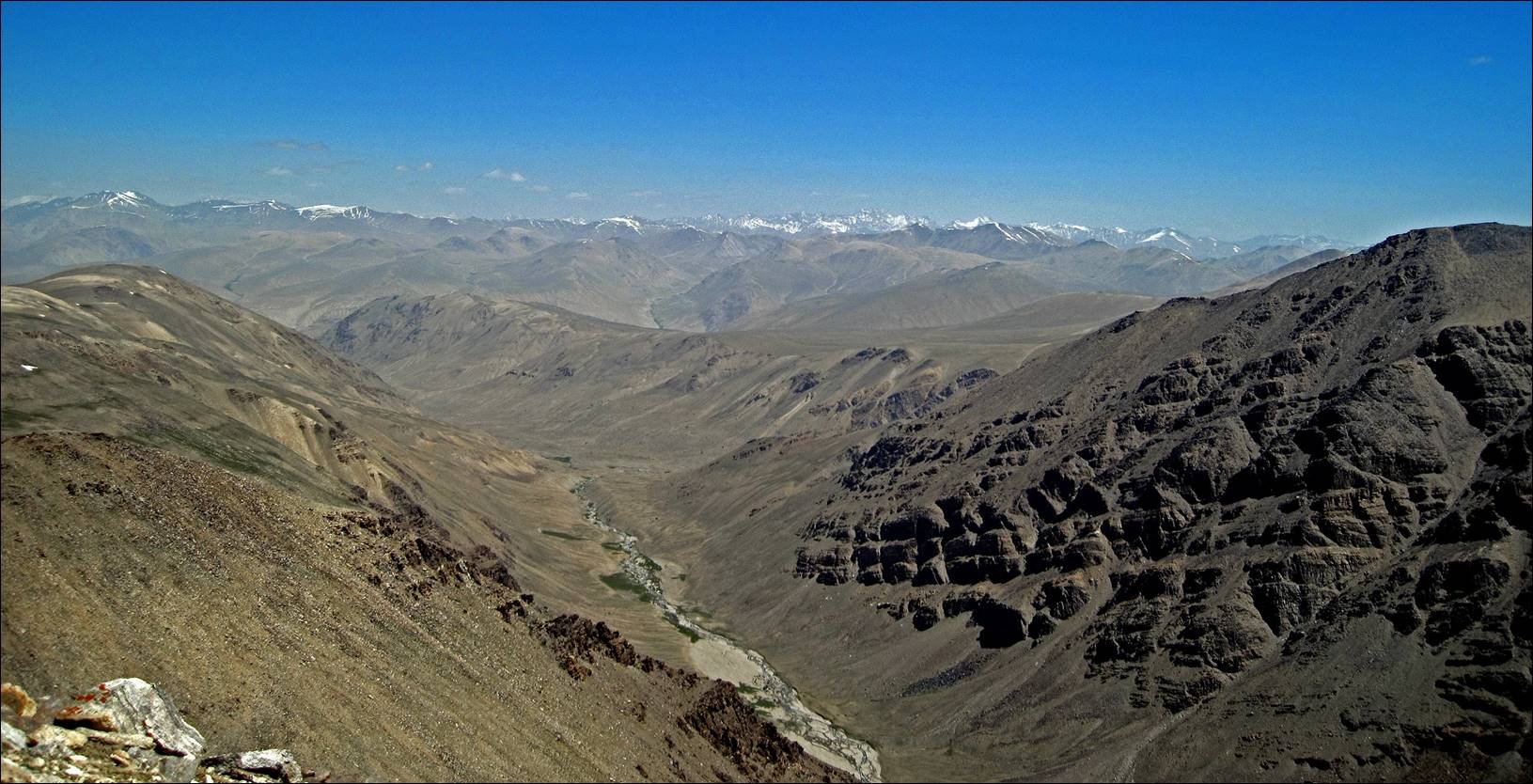
View of the Shakhdara range between Vrang pass and Karl Marx peak (neither of them visible in this picture), while climbing toward the east above Vrang lakes.
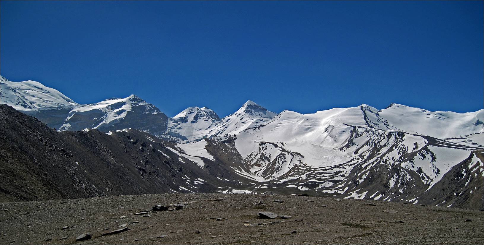
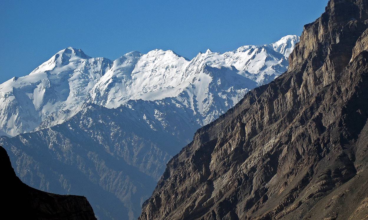
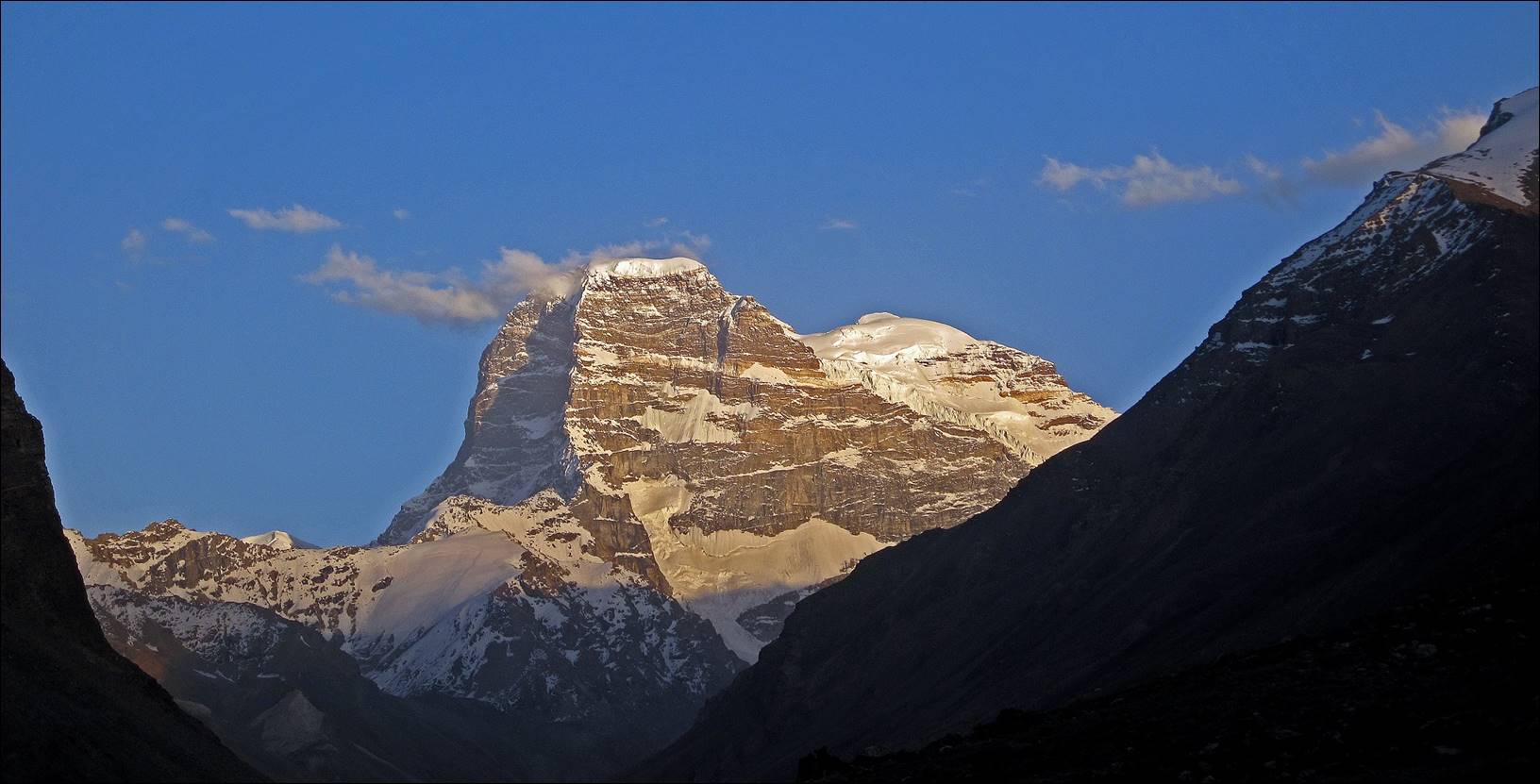
View of 6723m
Karl Marx peak (center) and 6507m Engels peak (left) from a sharp ridge above Hatsak river.
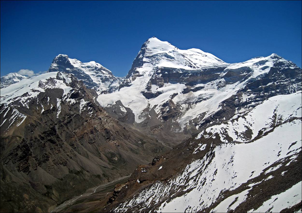
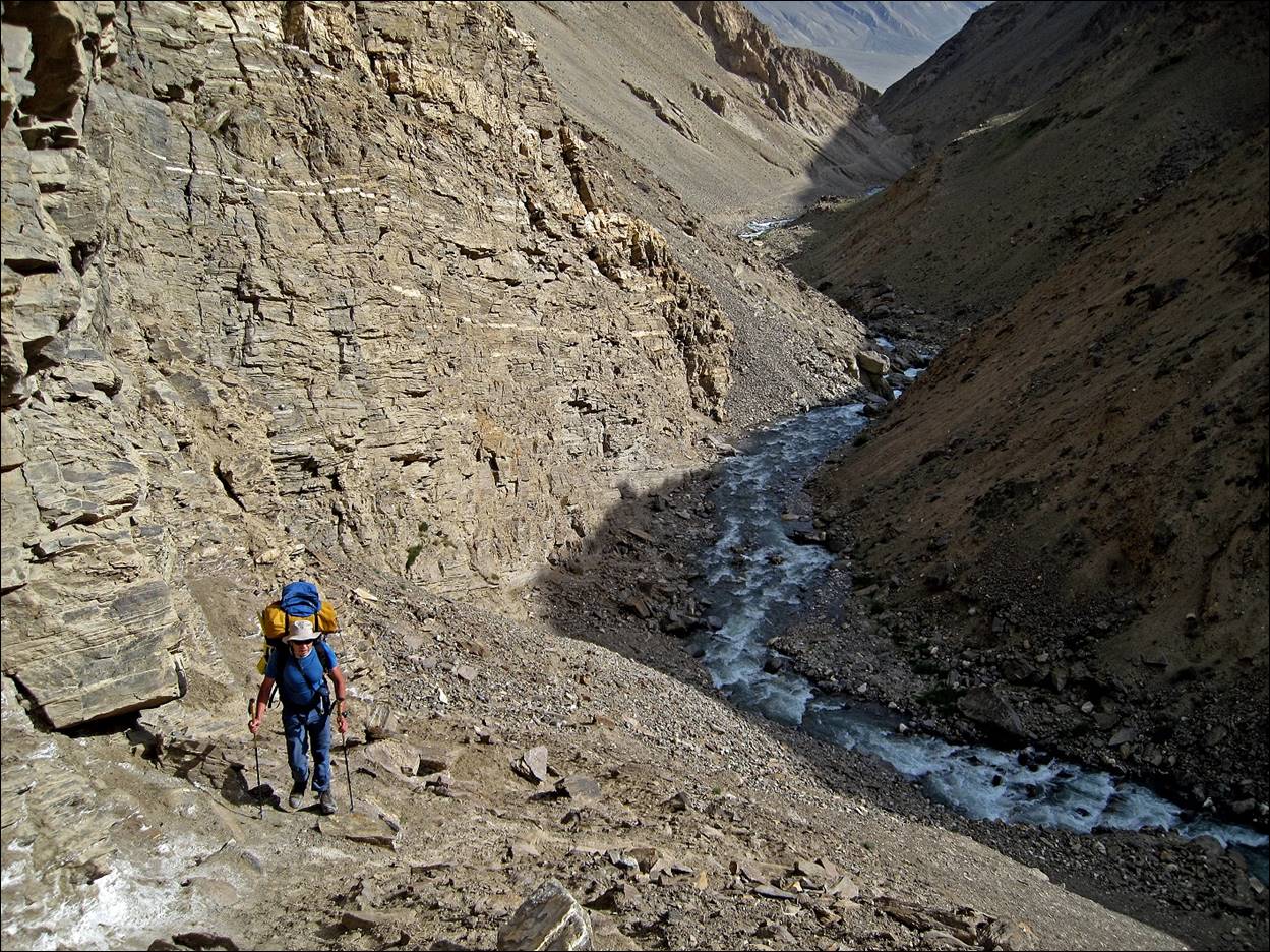
The valley of
the Hatsak river seen from
the same ridge.
Shugnan range and perhaps some peaks of the Rushan range in the background (view toward the
north).
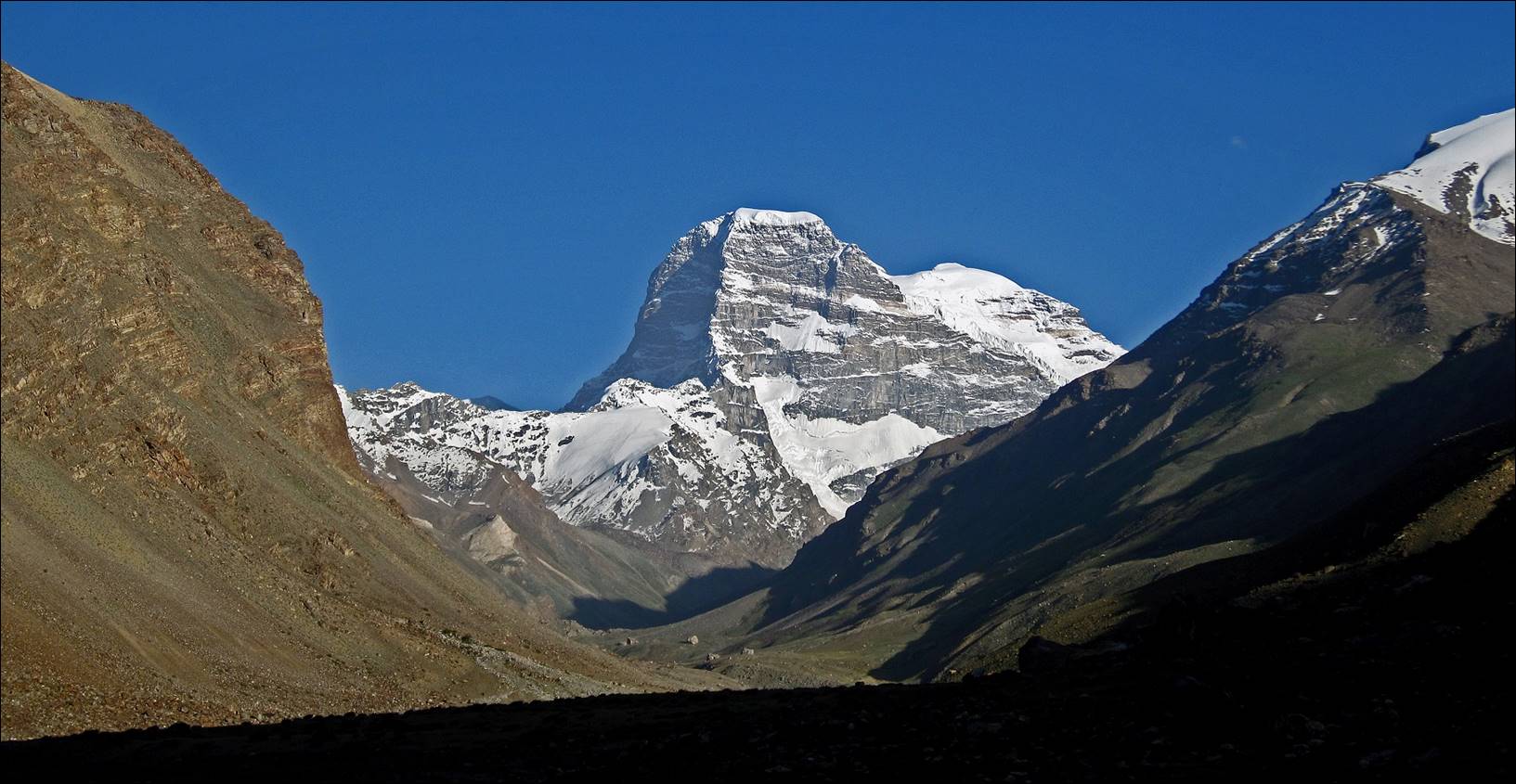
Peak Engels seem from further down in the valley of the Redzhig river.
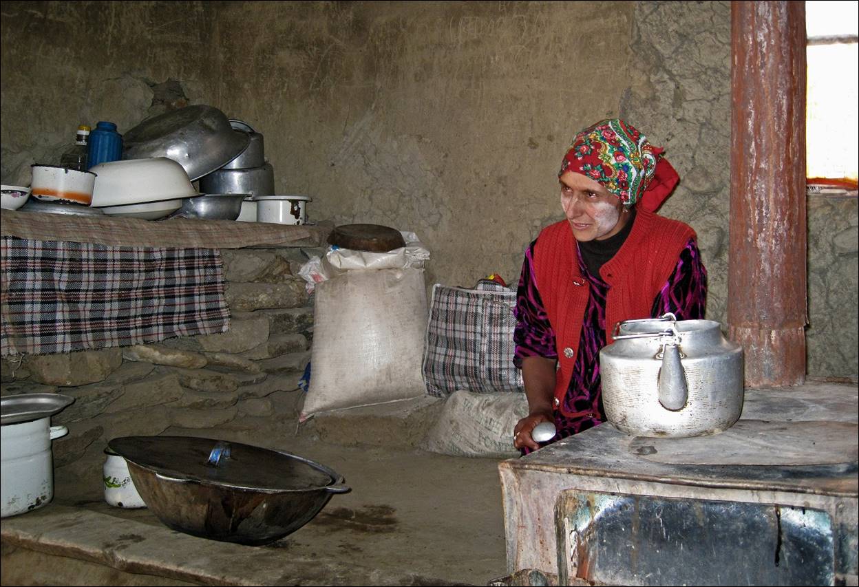
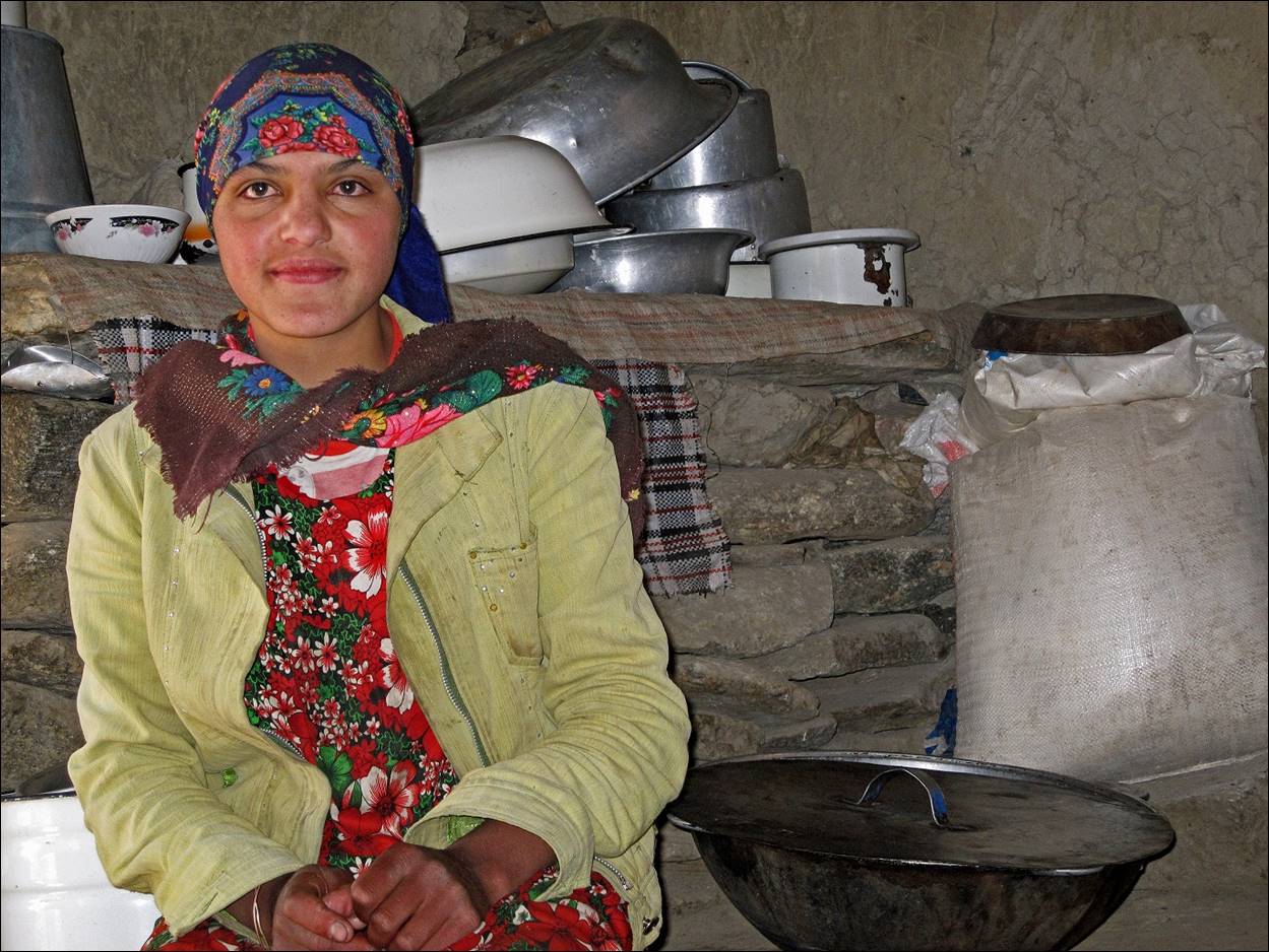
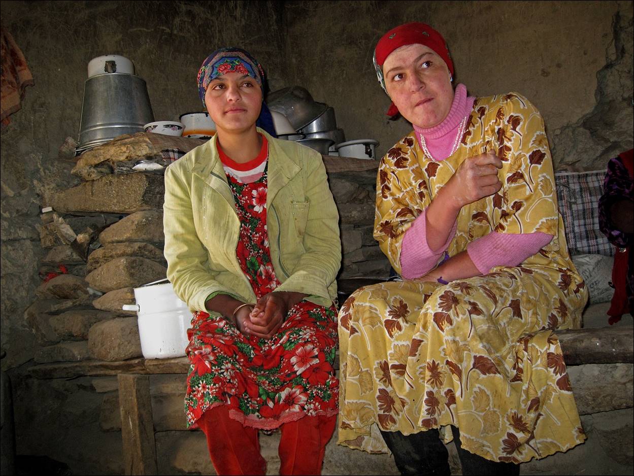
Women in a shepherd house near the junction of Hatsak and Redzhig rivers. We ate wonderful yogurt there.
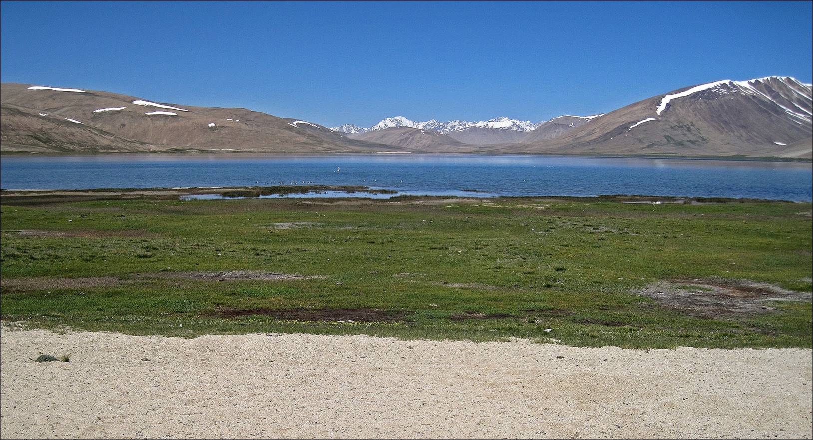
The small village of Jawshangoz on the Shakhdara river. We spent a night there.
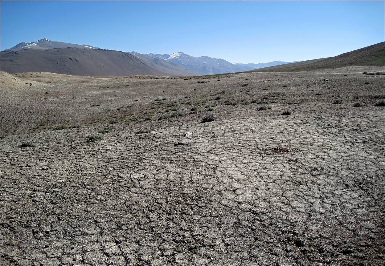
Above Jawshangoz village with the Shakdara range in the far background.
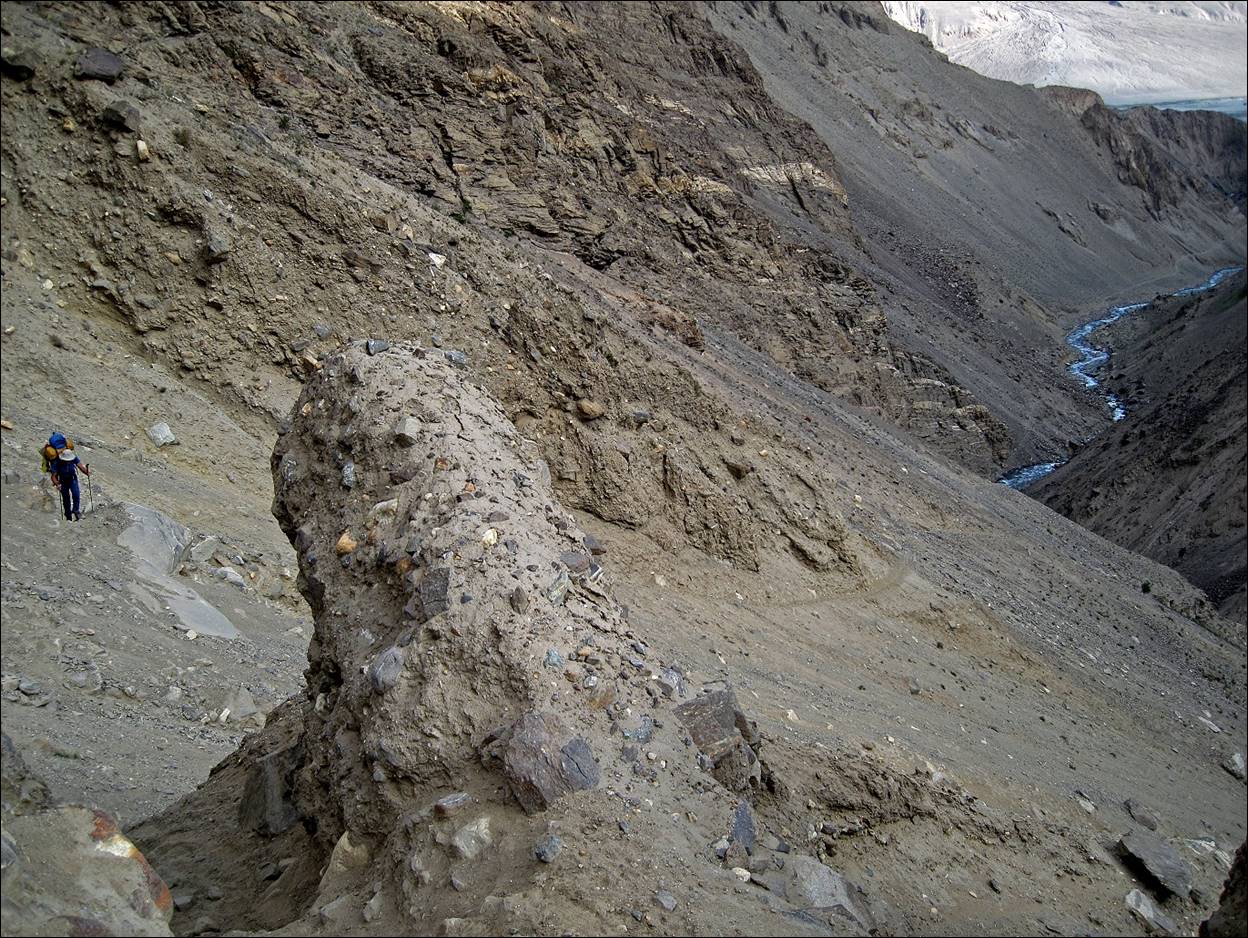
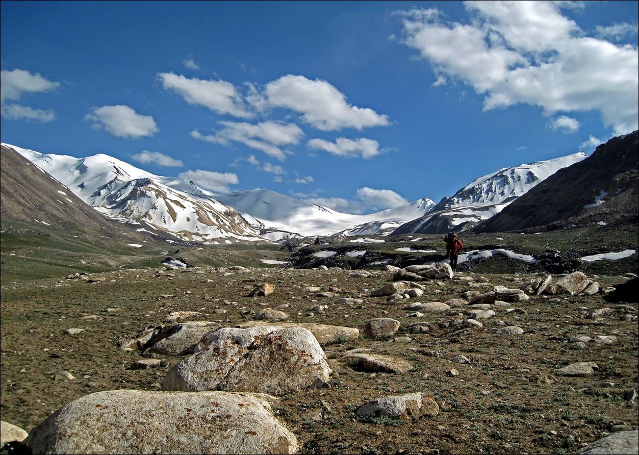
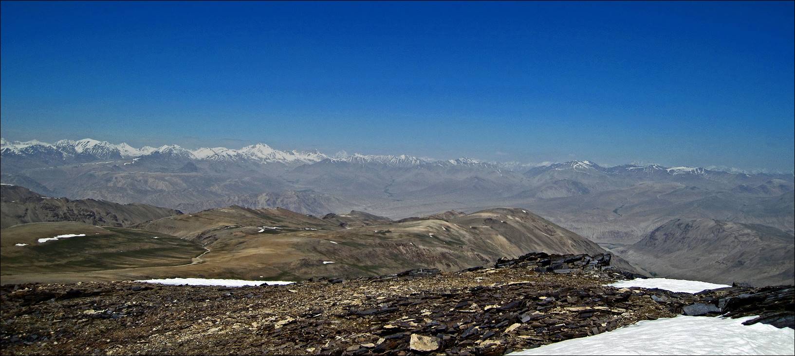
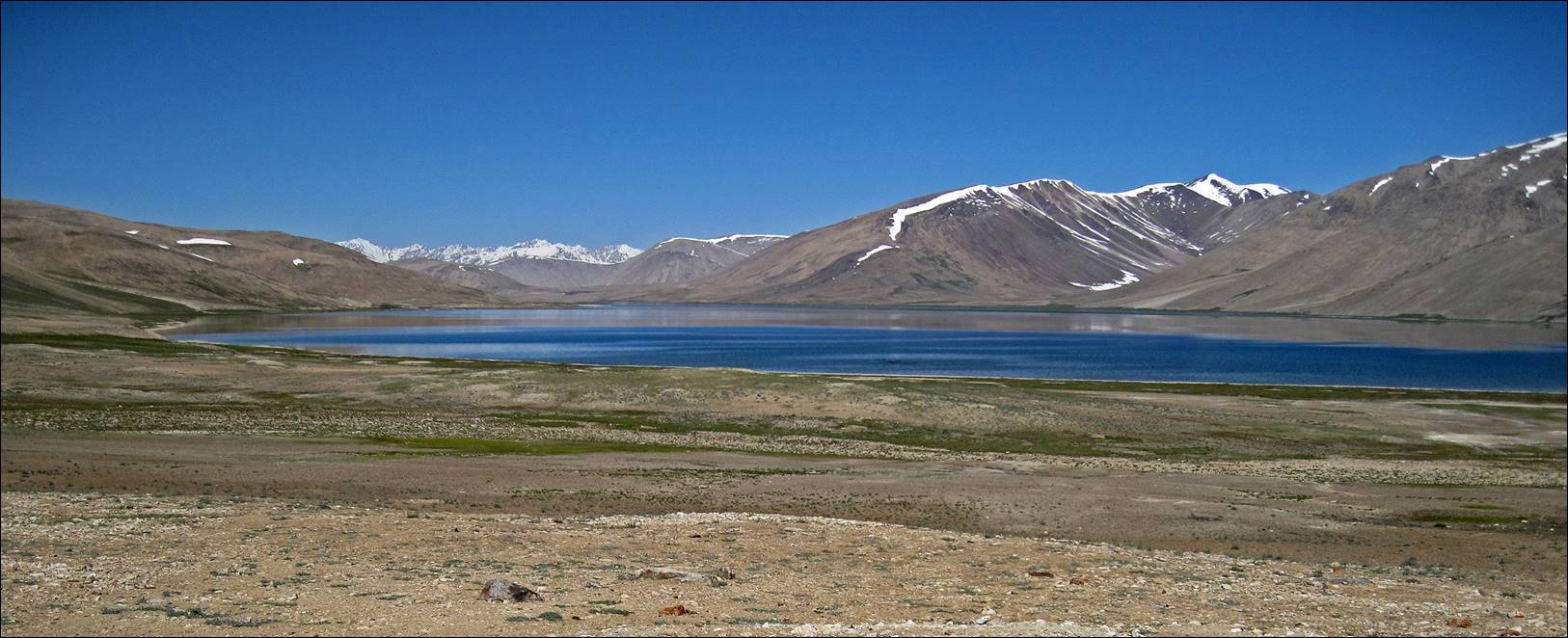
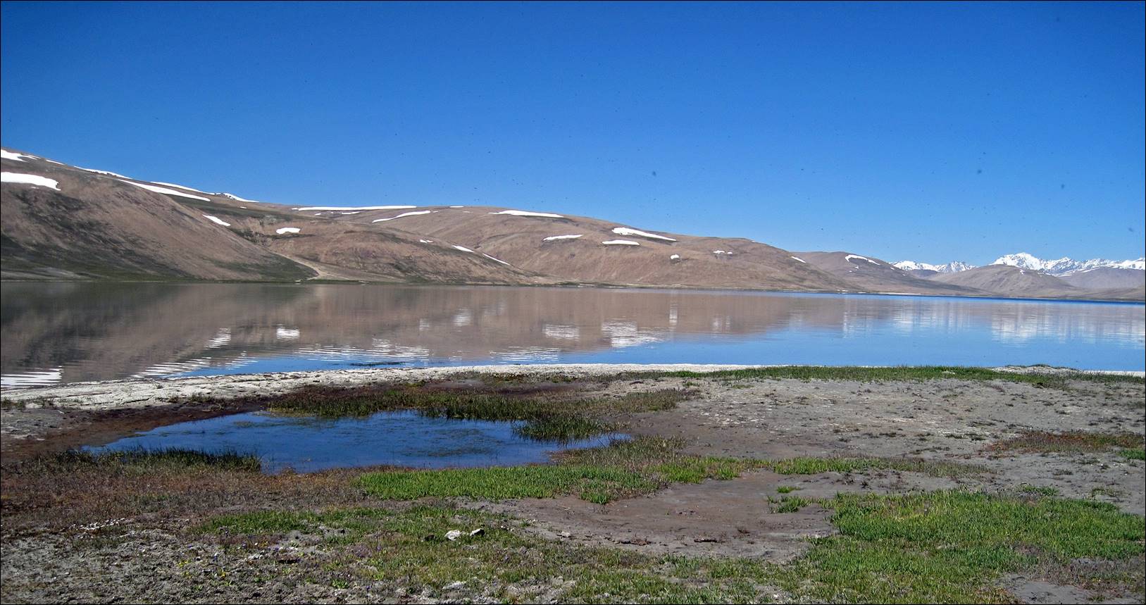
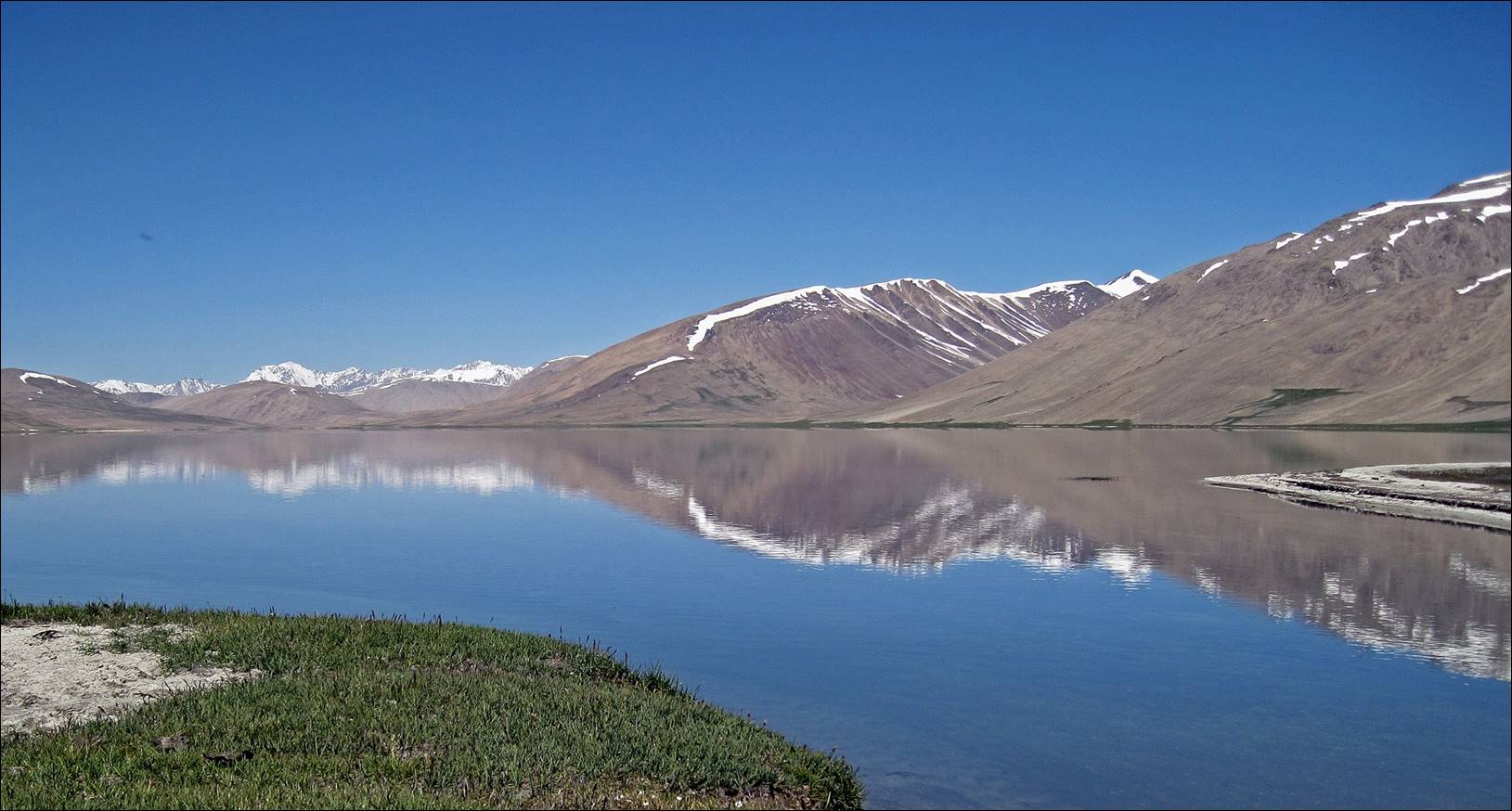
Syrt terrain above Turumtajkul lake.
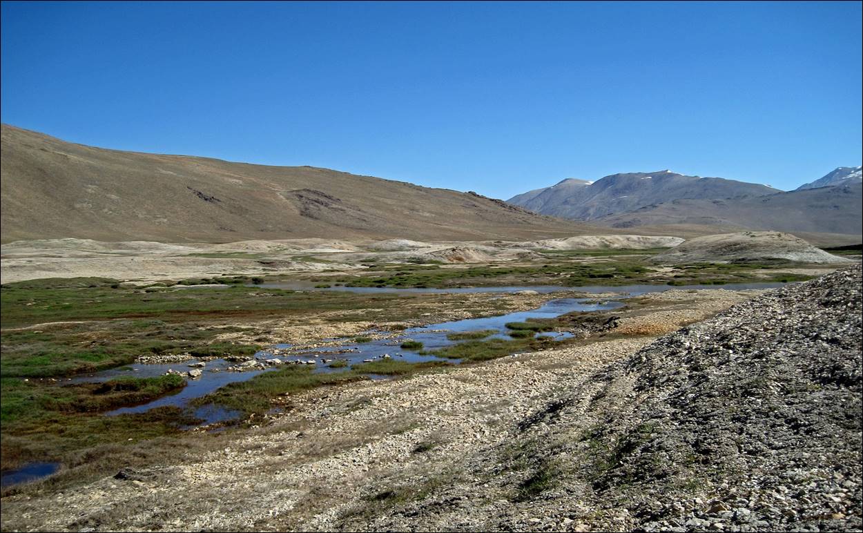
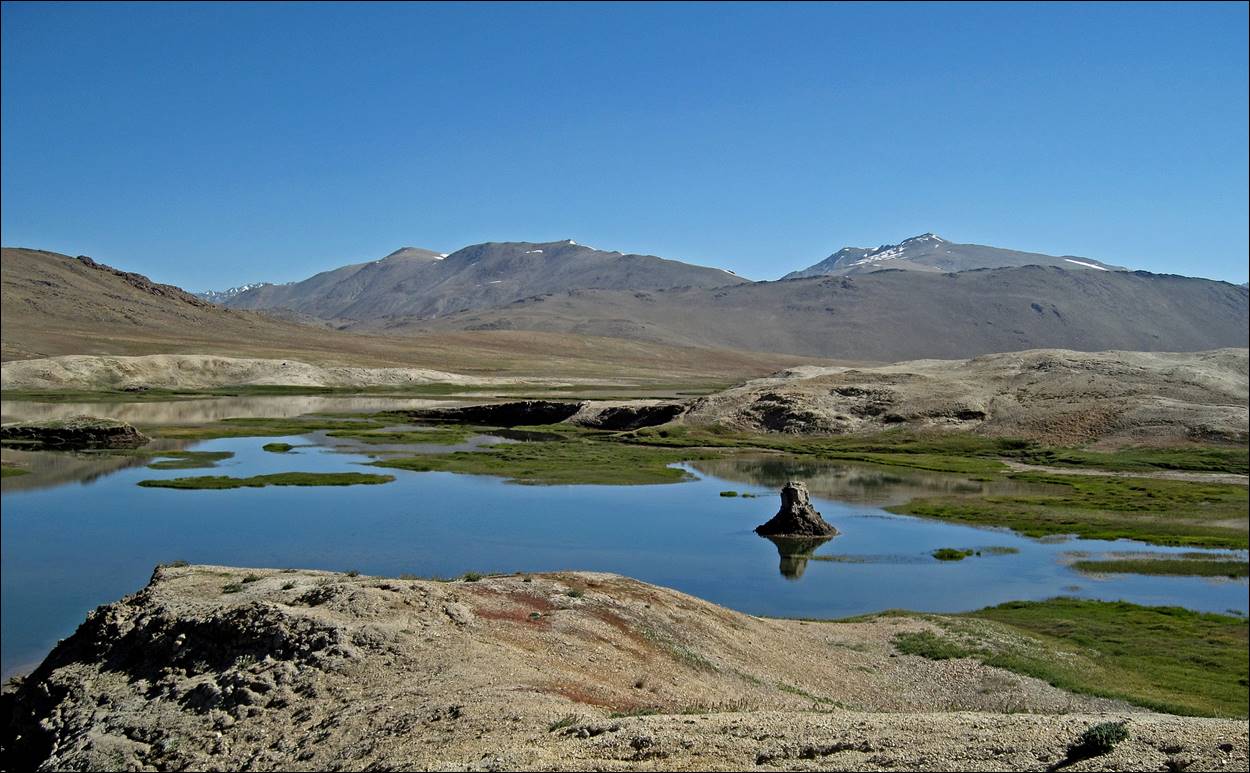
Beautiful Turumtajkul lake.
Descent toward Jelondy village.
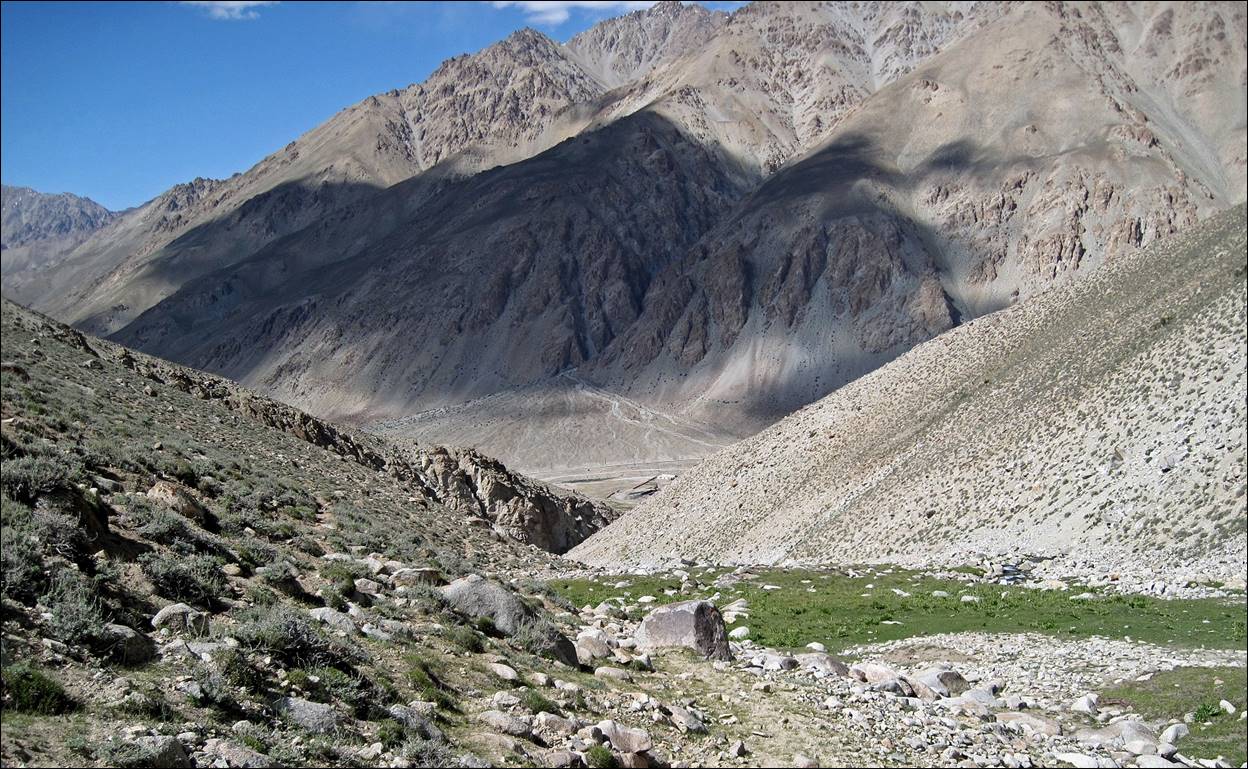
Jelondy village in the valley of the Gunt river.
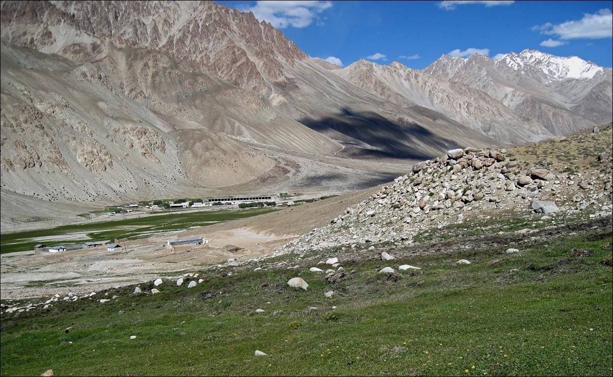
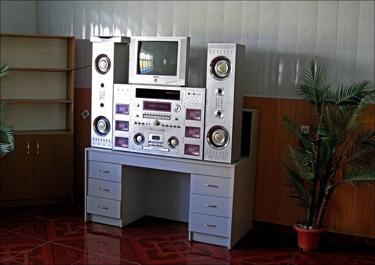
Jelondy had an unexpectedly decent hotel (a former Soviet sanatorium) with an inside swimming pool filled from the hot springs. The hotel lobby was equipped with this impressive sound machine.
![]()