Tajikistan
(Summer 2009): Shakhdara range and Vanch valley
Return to my
mountaineering/trekking/travel webpage
In the summer 2009, I did
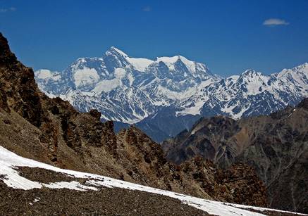
two treks in Tajikistan. The first was in South-Western Pamir across the Shakhdara range, in the area of Marx and Engels peaks. The
second was at the Eastern end of Vanch valley in
Central Pamir. To reach the start of the first trek (Vrang
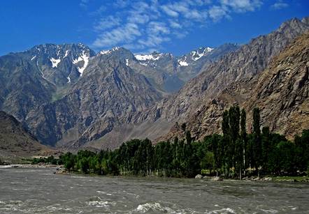
village in the Wakhan corridor), we drove from
Dushanbe to Vrang through the towns of Kulob and Khorog, along the Panj river that separates Tajikistan from Afghanistan. This
river is also known as Amu Darya. In the antiquity it was referred to as the
Oxus.
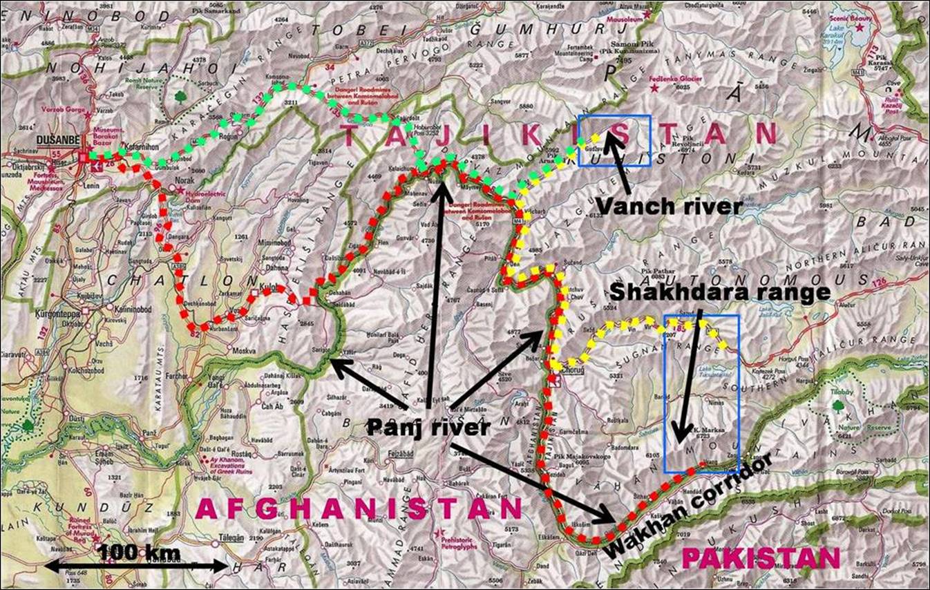
Map:
The blue rectangles delineate the two trek areas. The red-dot line is the road
itinerary to reach Vrang village from Dushanbe. The
yellow-dot-line is the itinerary between the end of the first trek (Jelondy village) and the start of the second (Poimazar village). The green-dot line is the itinerary that
we took to return to Dushanbe.
To see pictures of trip click the following
links:
|
1.
Road
trip along the Panj river |
2. Trek
across the Shakhdara Range |
3. Trek
in the upper Vanch valley |
|
|
|
|

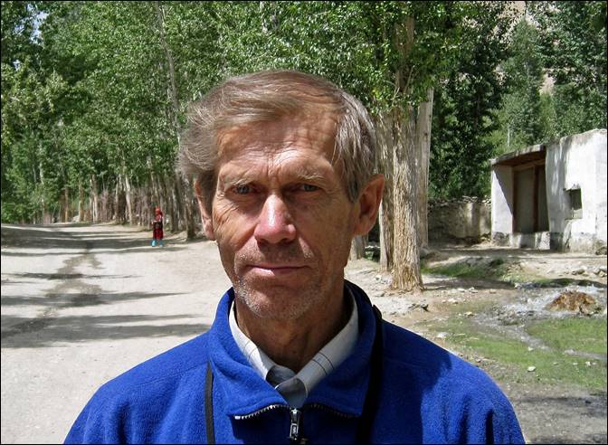
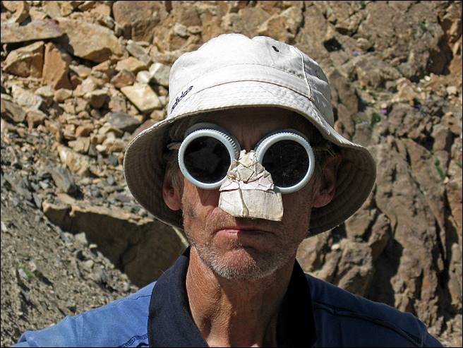
On this trip I was
accompanied by Victor Kanonir, a wonderful guide and
great mountaineer from Tashkent. The logistics (transportation, permits) was
arranged by Boris Karpov, who had already arranged my
previous trips in
Victor in
town and in the mountain.
|
|
|
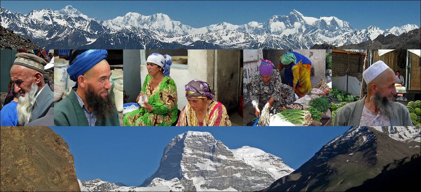
Pictures
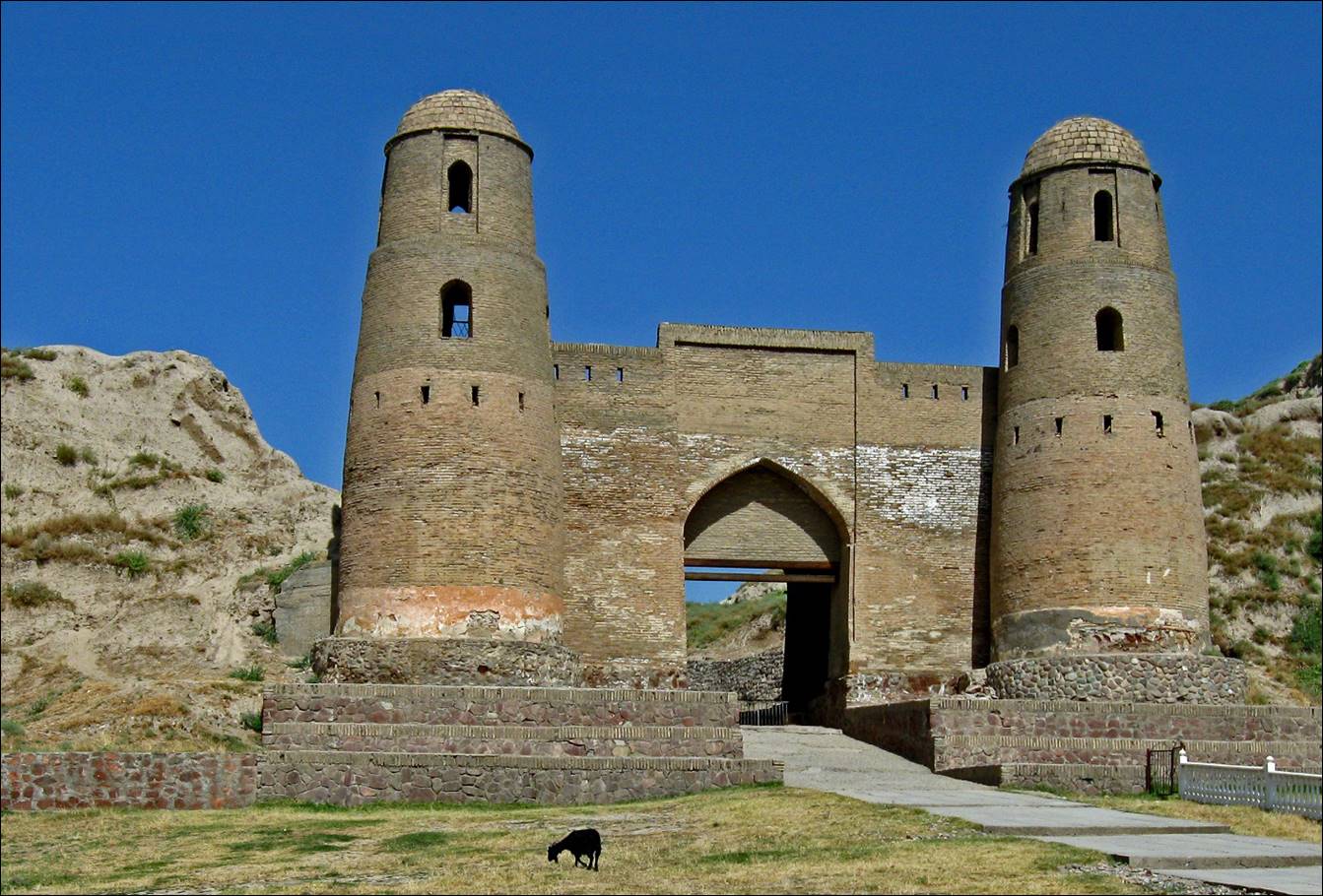
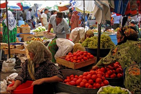
from the Dushanbe area:
- Hissar
fortress.
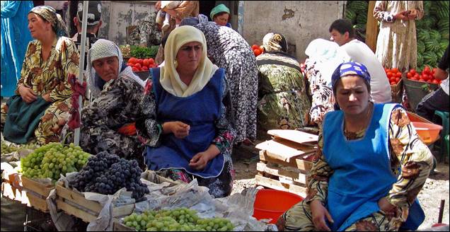
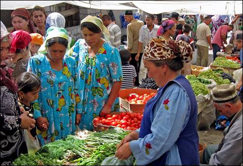
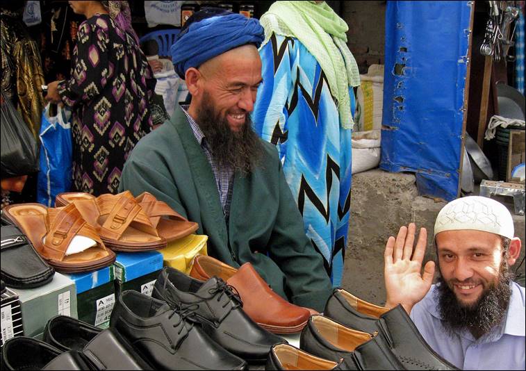
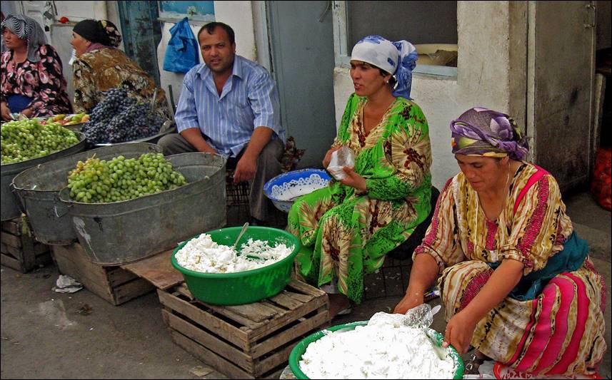
- In the bazaar of Hissar.
|
|
|
|
|
|
|
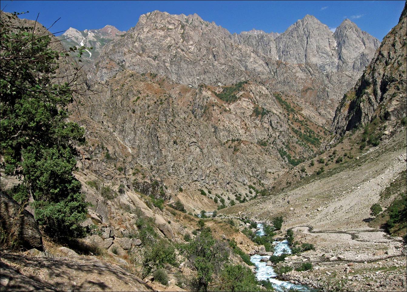
- Valley of the Siama river, about 50km north of
Dushanbe.
![]()