Trek in the upper Vanch valley![]()
Return
to main Tajikistan 2009 webpage
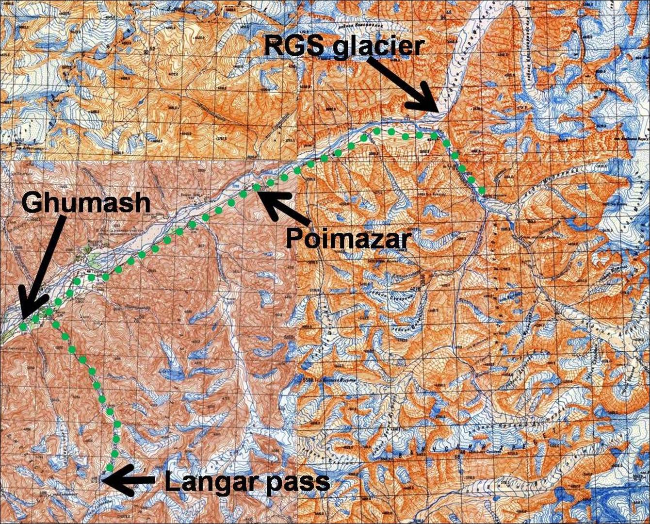
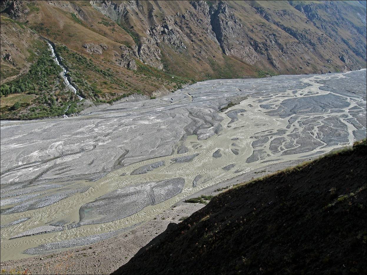
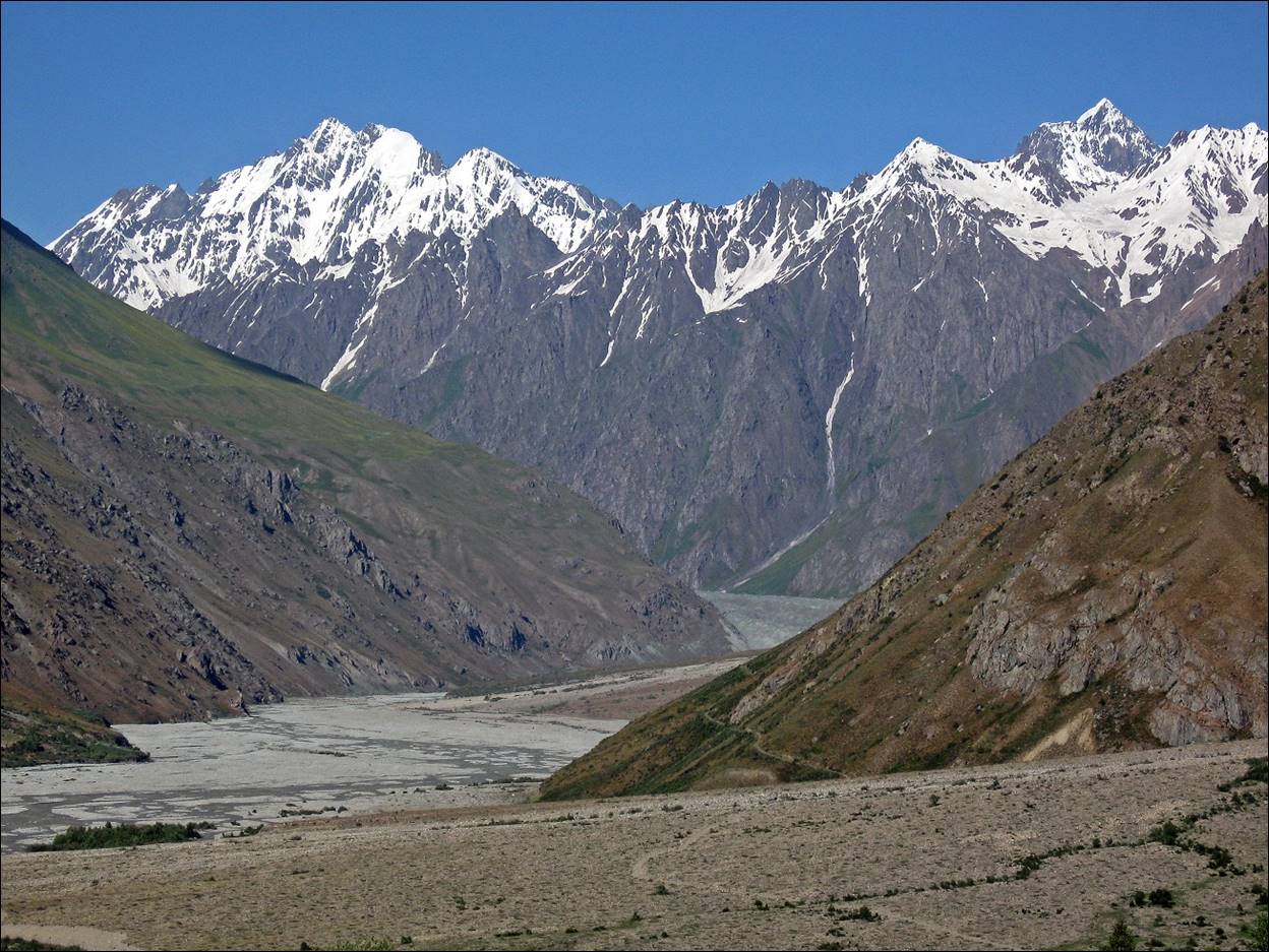
The upper Vanch valley is wide and makes many bends. At each bend, fertile soil provides support for one or two villages. The last bridge across the river is located more than 30km downstream from the last village, Poimazar. Crossing the Vanch river, even at the end of the summer, is quite dangerous, but a few locals do it. We stayed on the south (left) bank of the river. We started our trek in Simgud village a few kilometers west of Poimazar, skirted the bottom of the Russian Geographic Society glacier, and followed the Abdukagor river for a few kilometers. We then turned back and walked back to Langar village. From there we went up the canyon of the Langardara river toward Langar pass. We turned back just below Langar pass, returned in the Vanch valley, and ended our trek in Ghumash village.
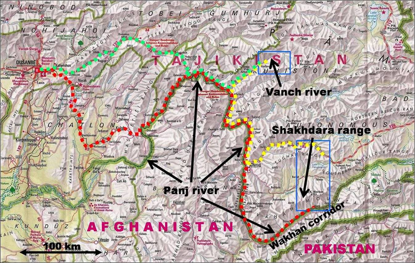
Map of the whole trip.
Map of the trek (each
square represents a 2x2km area).
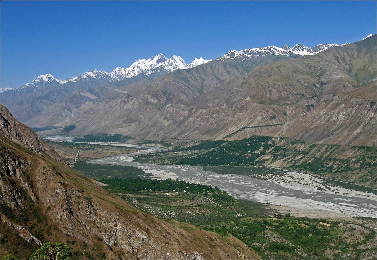
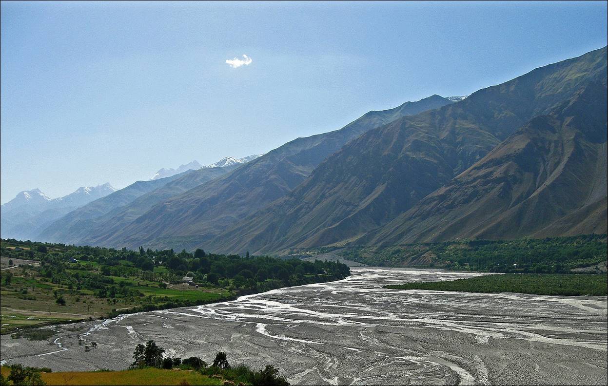
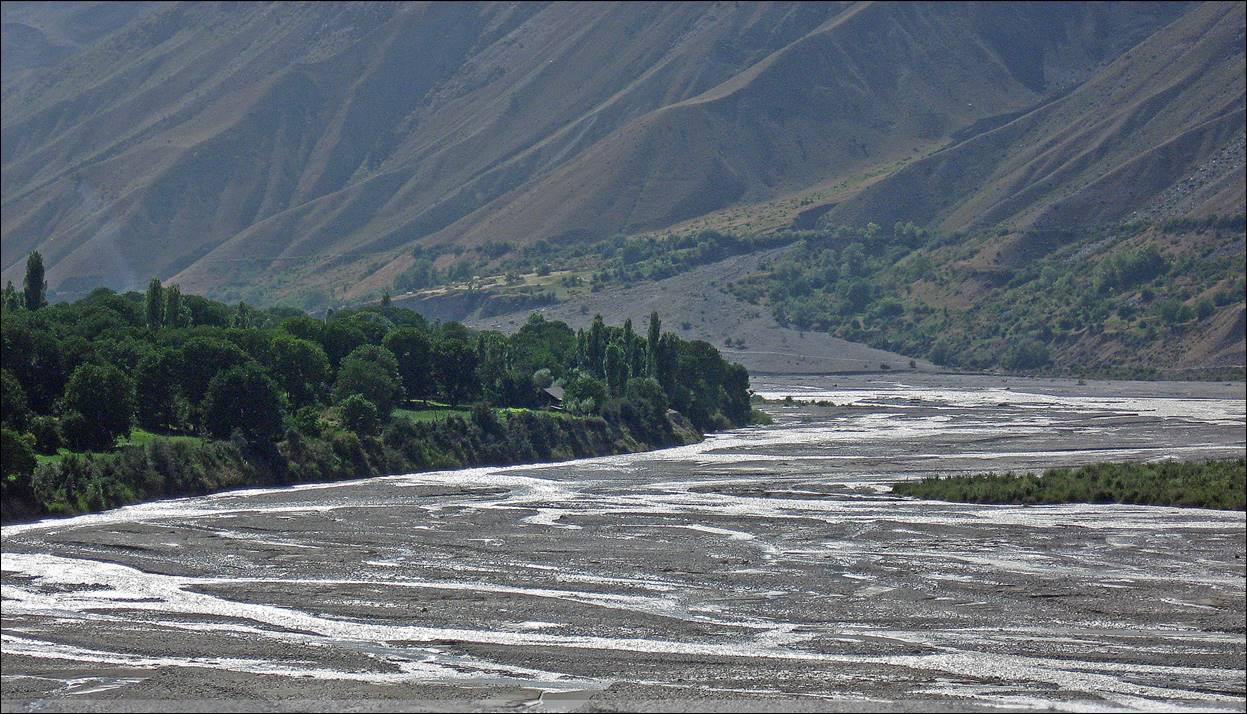
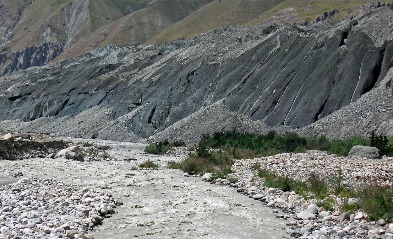
Views of the Vanch valley near the village of Ghumash.
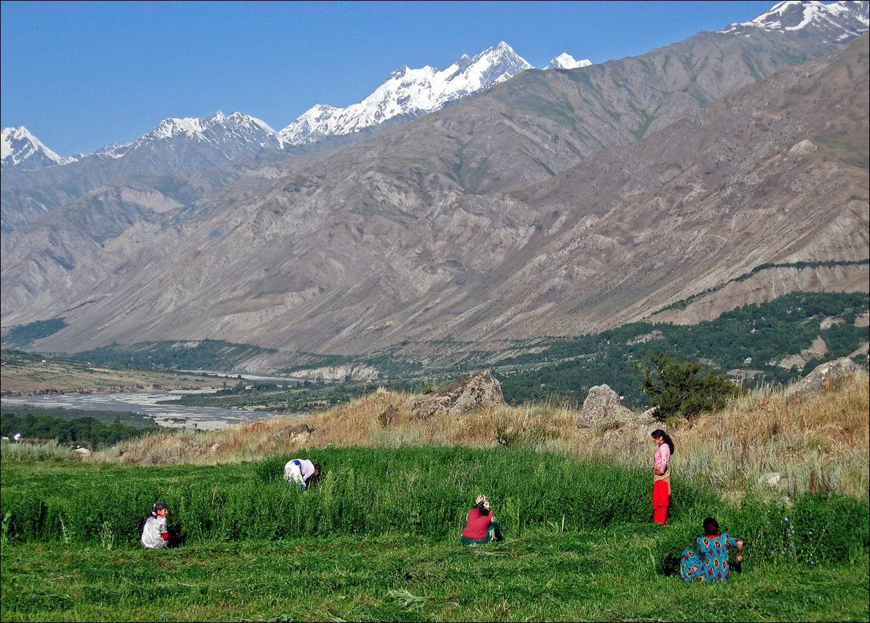
Women working
in fields in the valley.
Start of the trek near Simgud village.
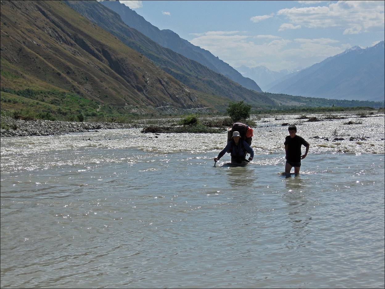
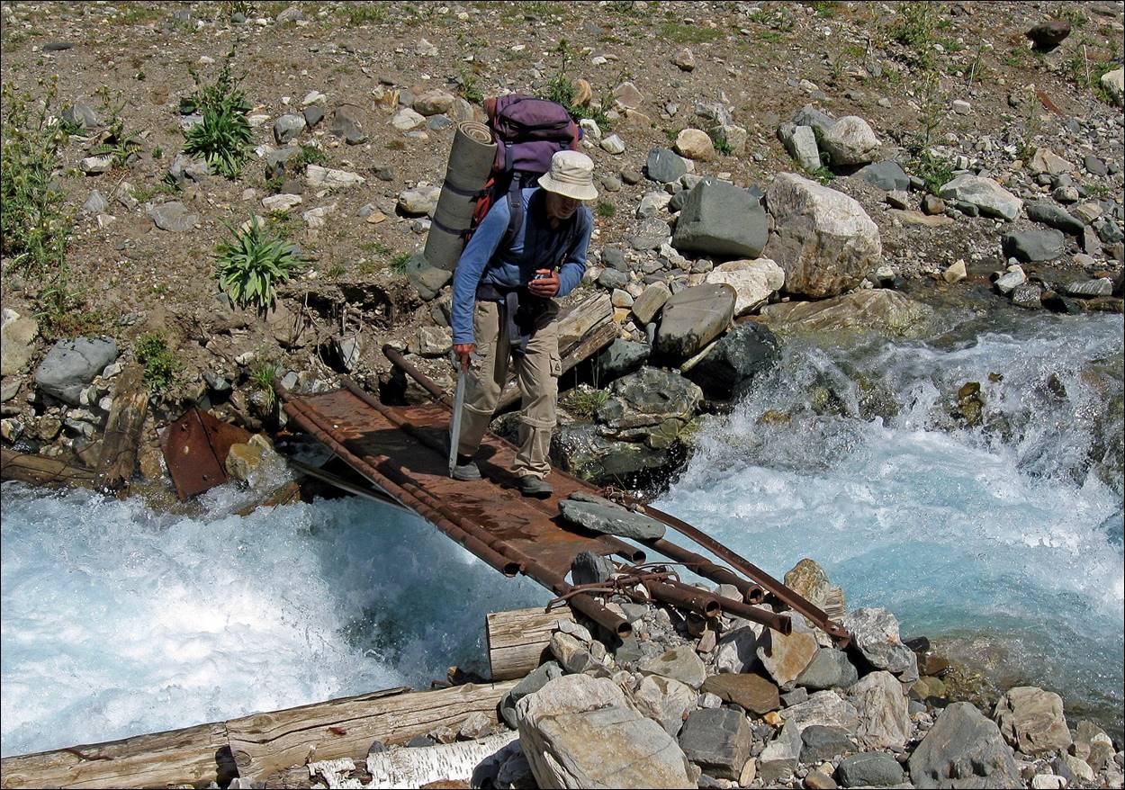
River crossing.
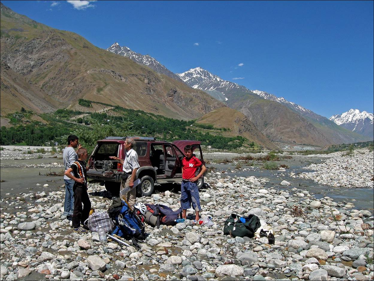
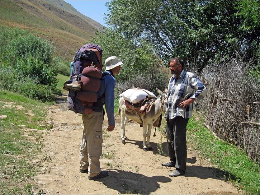
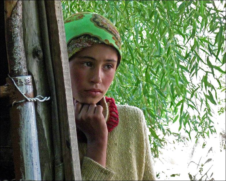
In Poimazar village. Left: Victor talking with a local. Right:
Young girl.
|
|
|
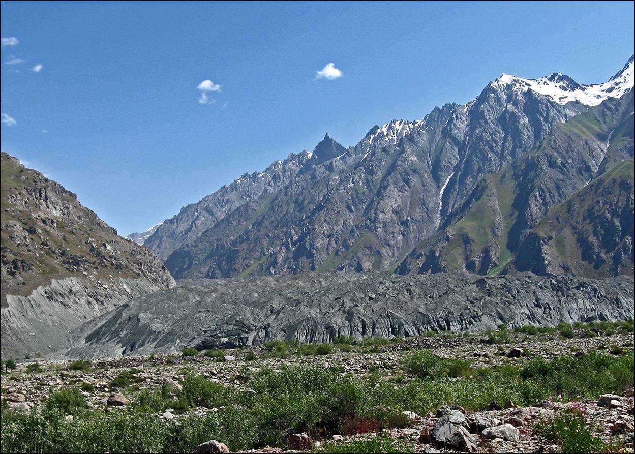
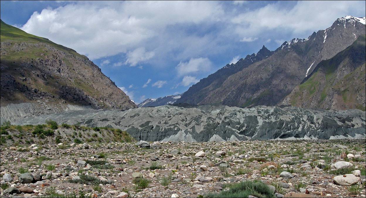
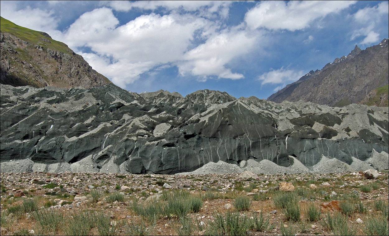
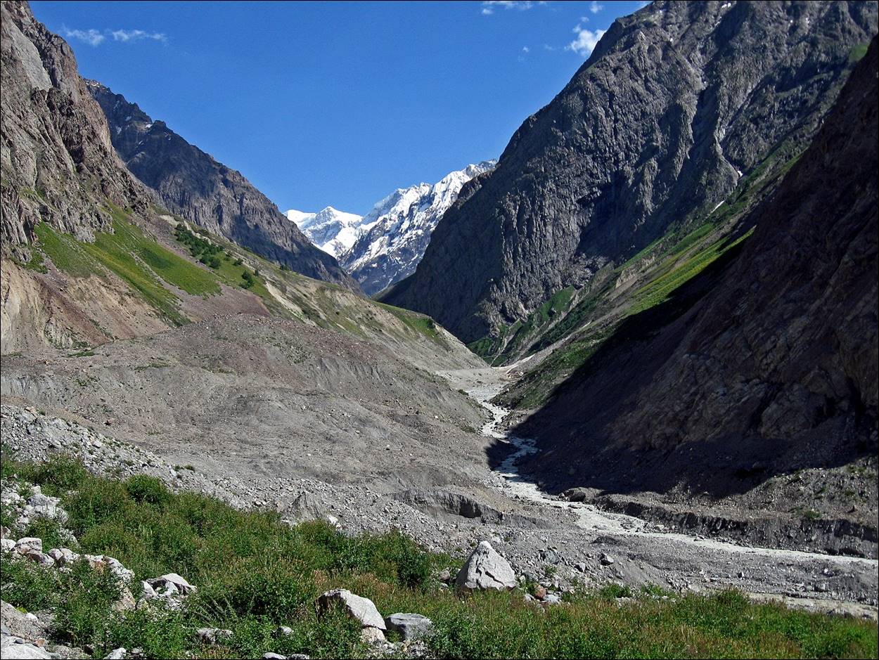
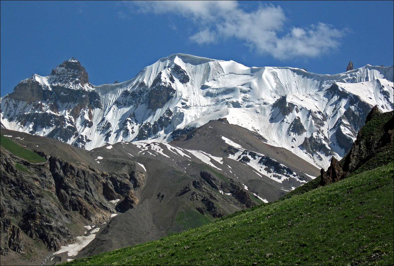
The Science
Range above the Russian Geographical Society (RGS) glacier (barely visible in the
first photo below).
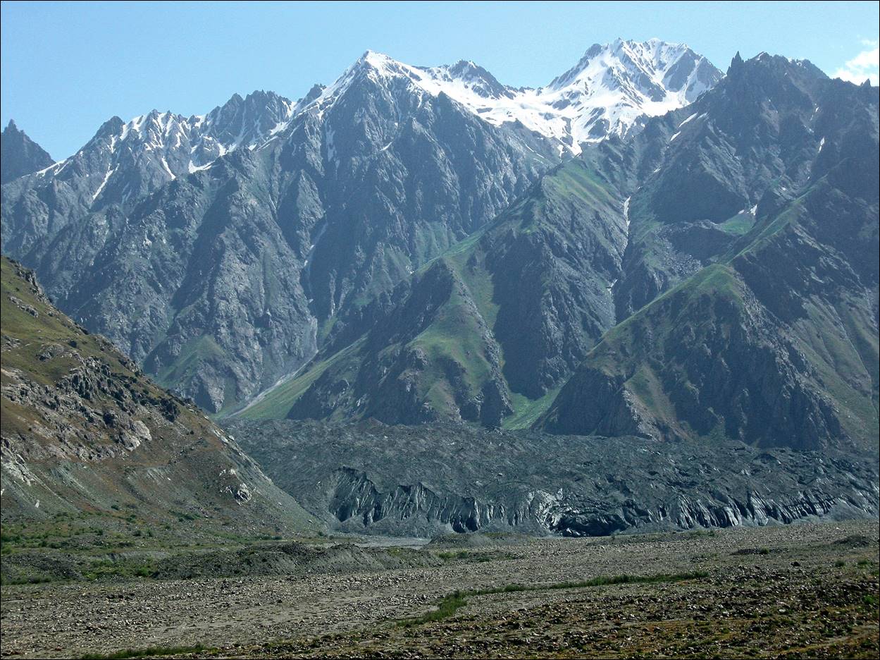
At the bottom of the RGS glacier.
Along the Abdukagor river beyond the RGS glacier.
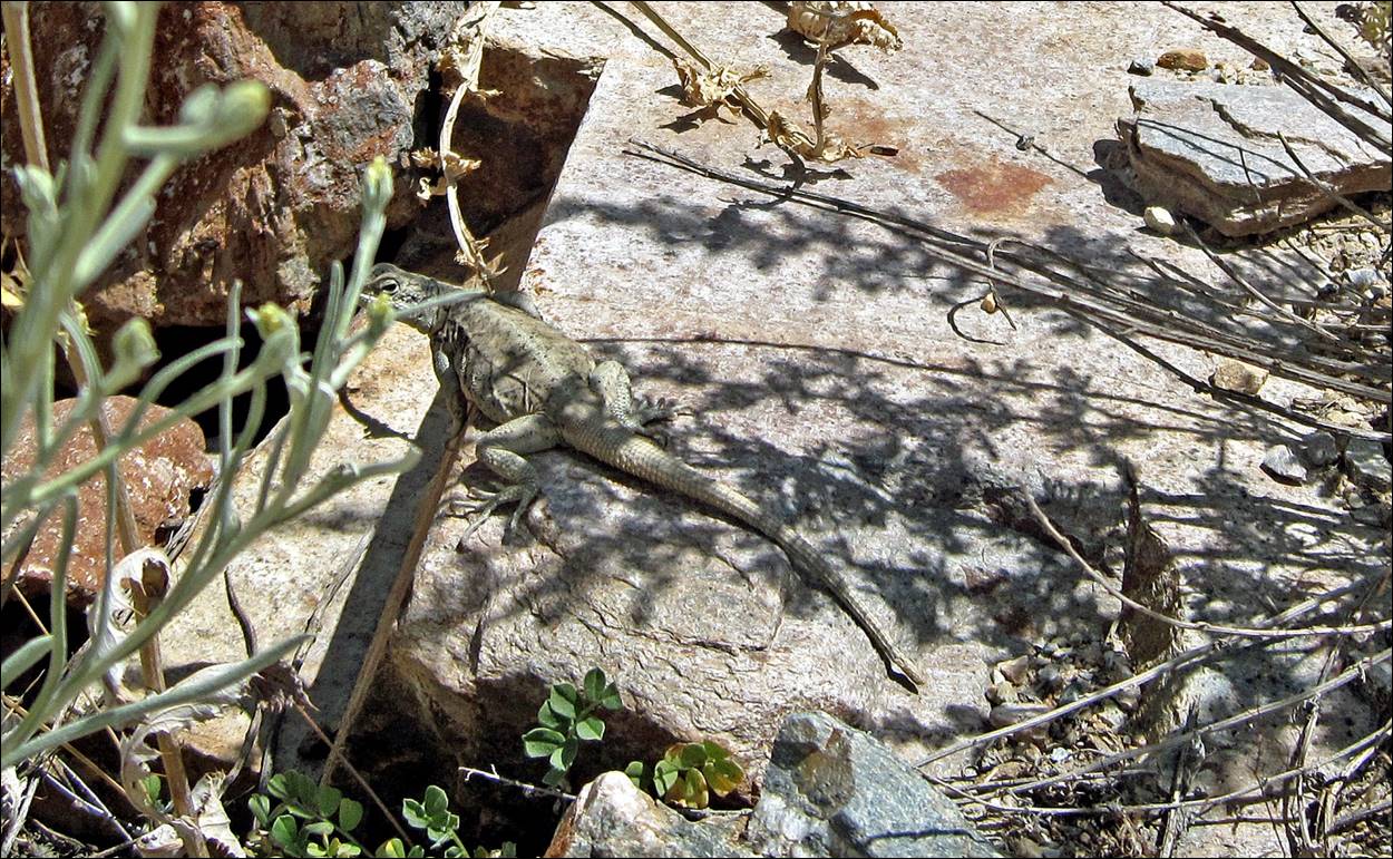
Big lizard warming up in the sun.
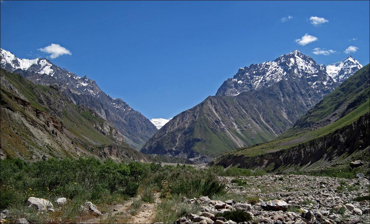
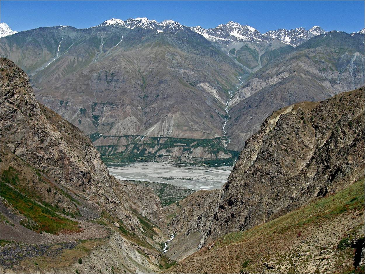
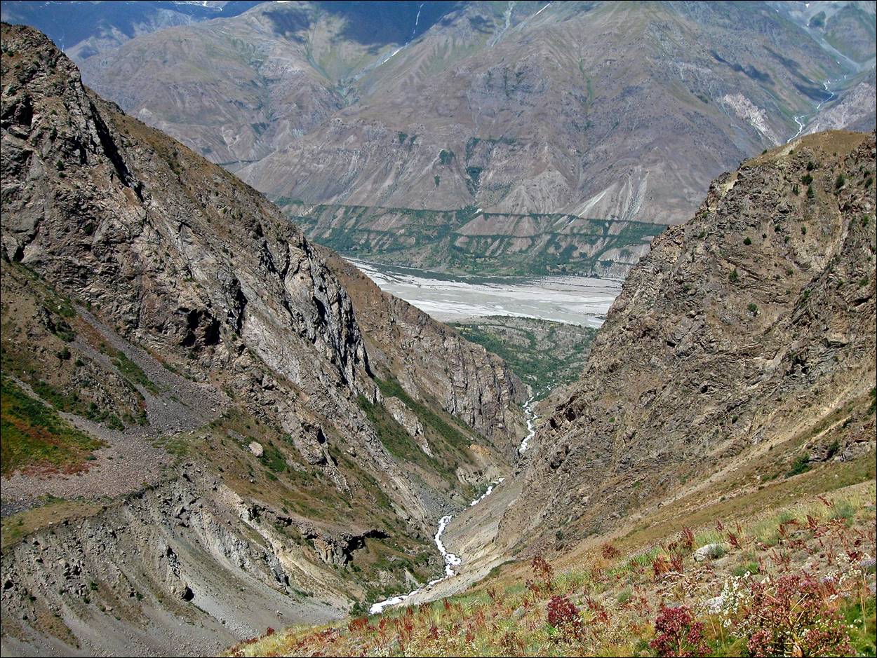
Views of the
canyon of the Langardara river
during our ascent toward Langar pass. The Langardara river merges into the Vanch river between the villages of Ghumash
and Langar.
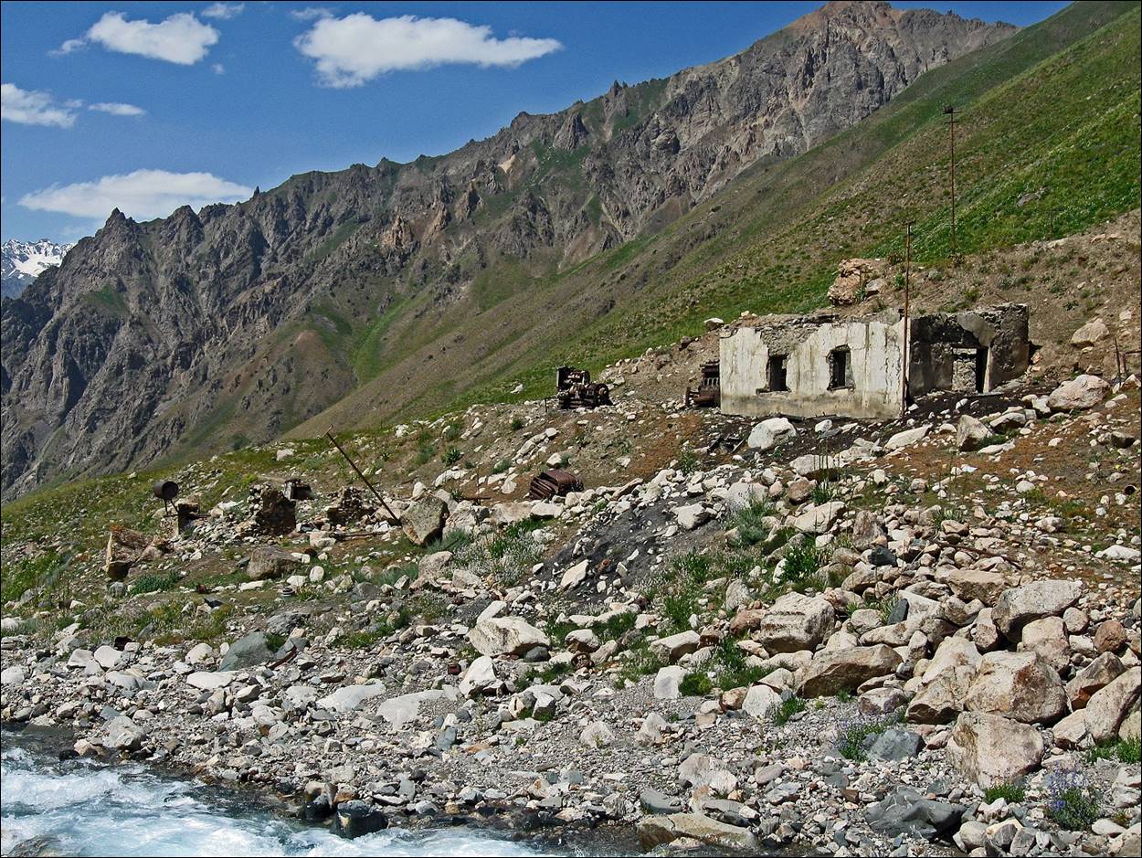
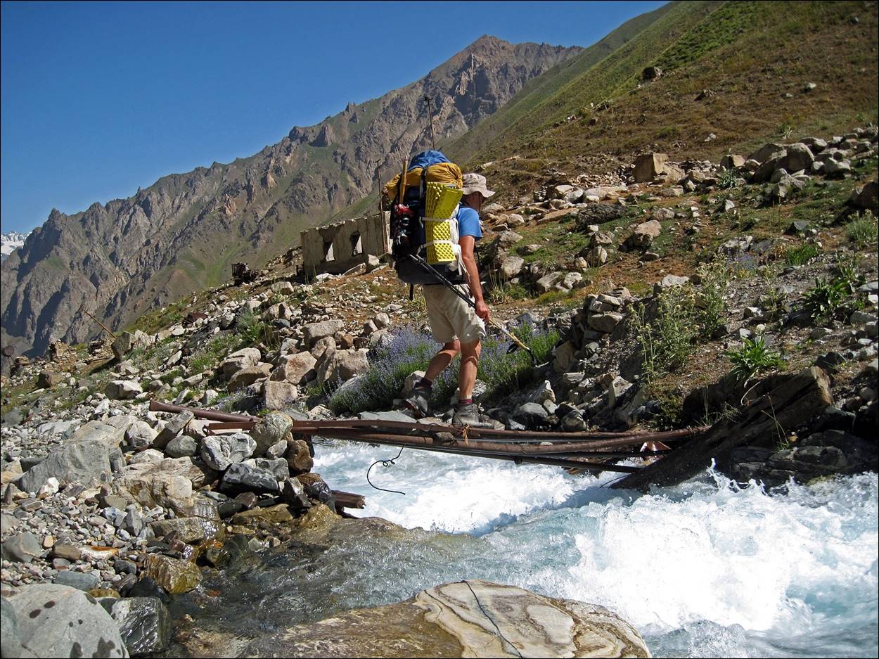
Abandoned
quartz mine (built in Soviet time) along the way.
Crossing the Langardara river on a precarious
bridge made of materials from the mine.
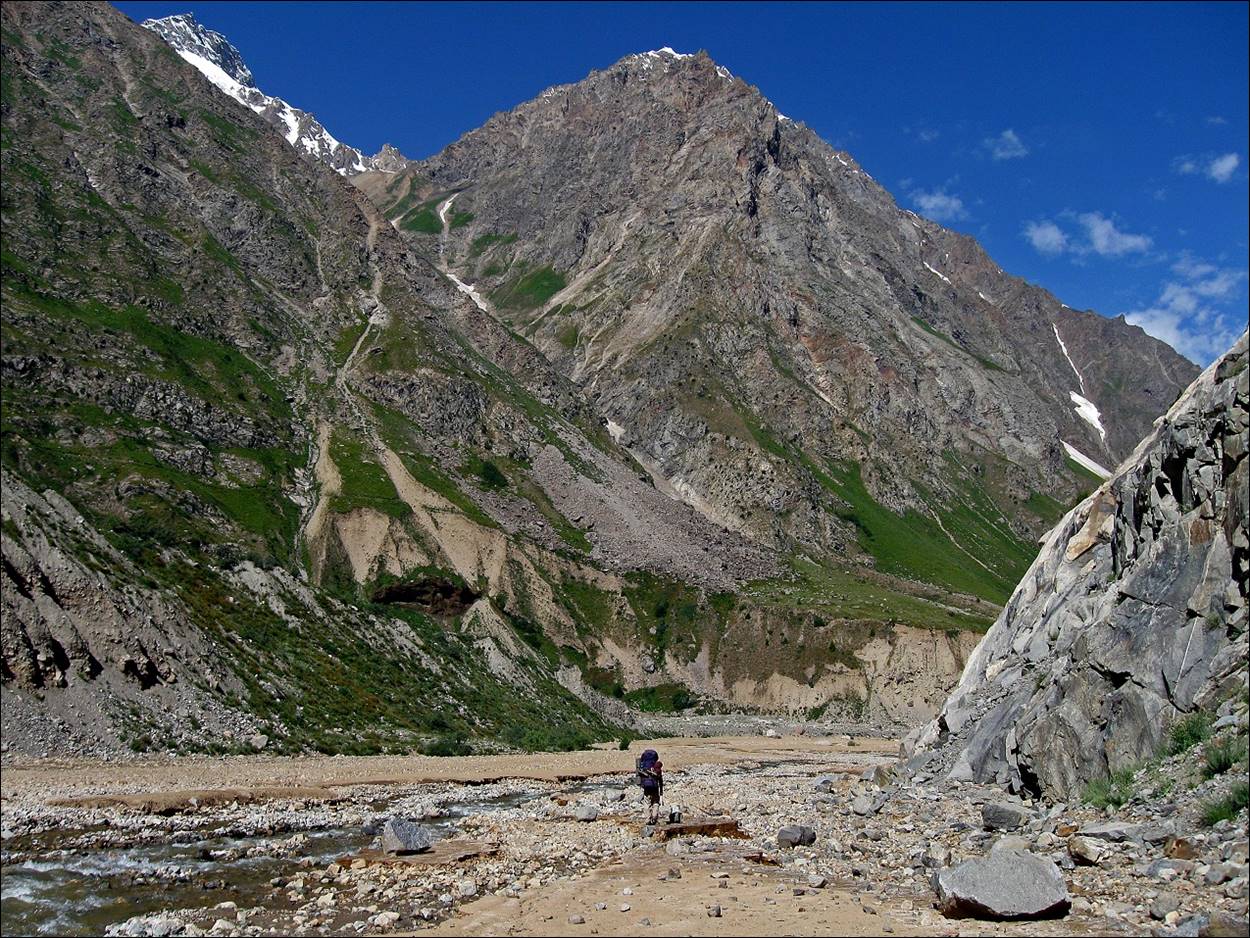
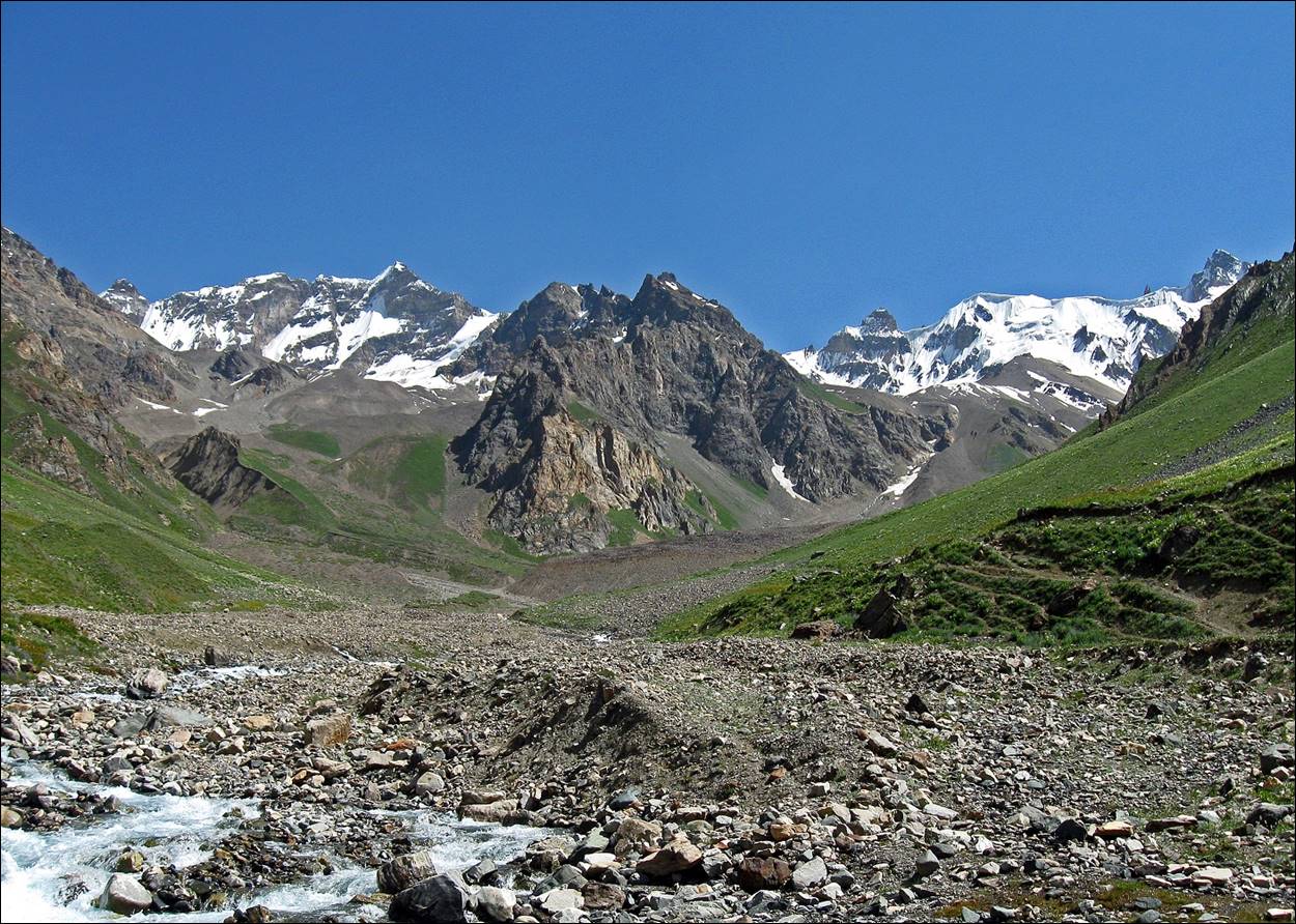
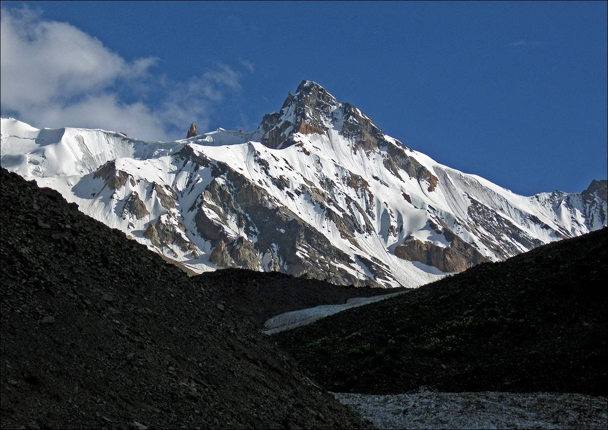
In the upper Langardara valley with the Vanch mountain range in the background.
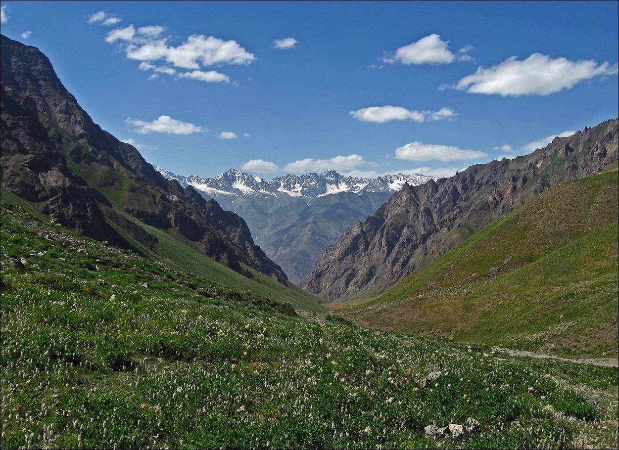
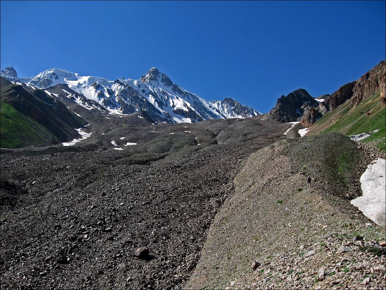
Looking back
toward the Vanch valley and, in the background, the
High Pamir range.
Peaks of the Vanch range.
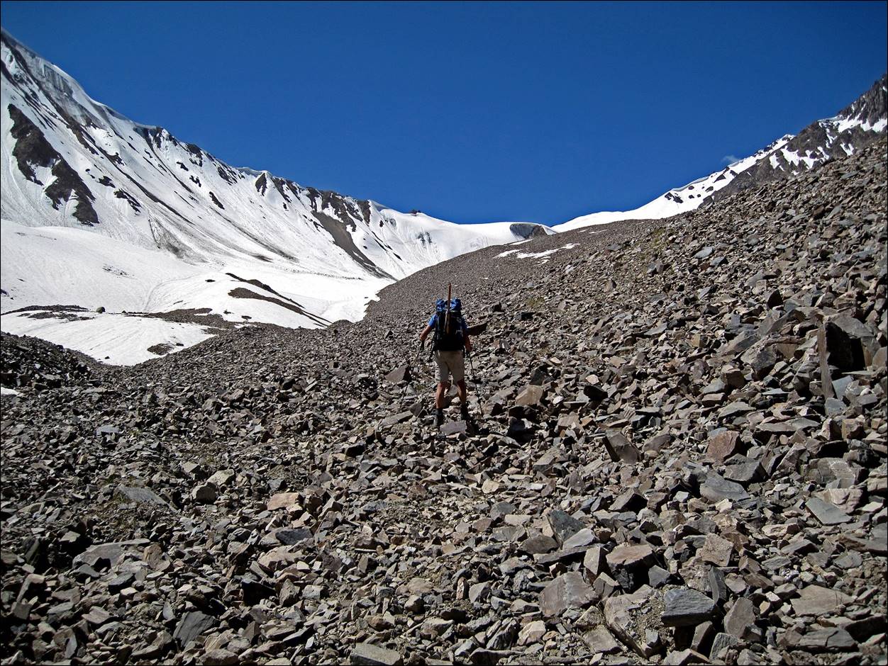
Ascending the long moraine toward Langar pass.
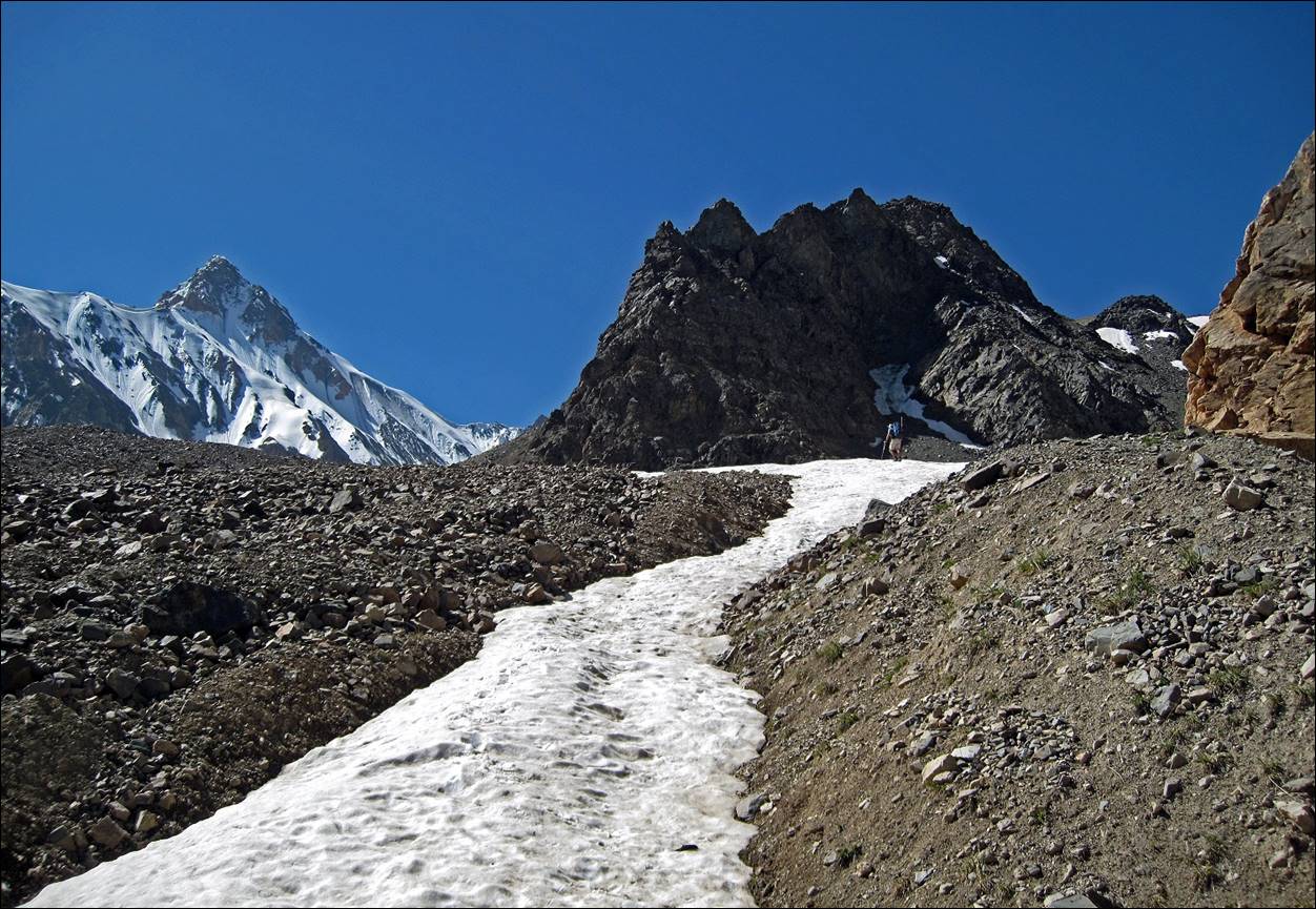
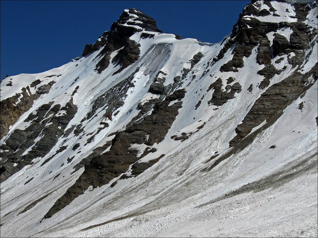
Views of the ridge on the northern side of the pass.
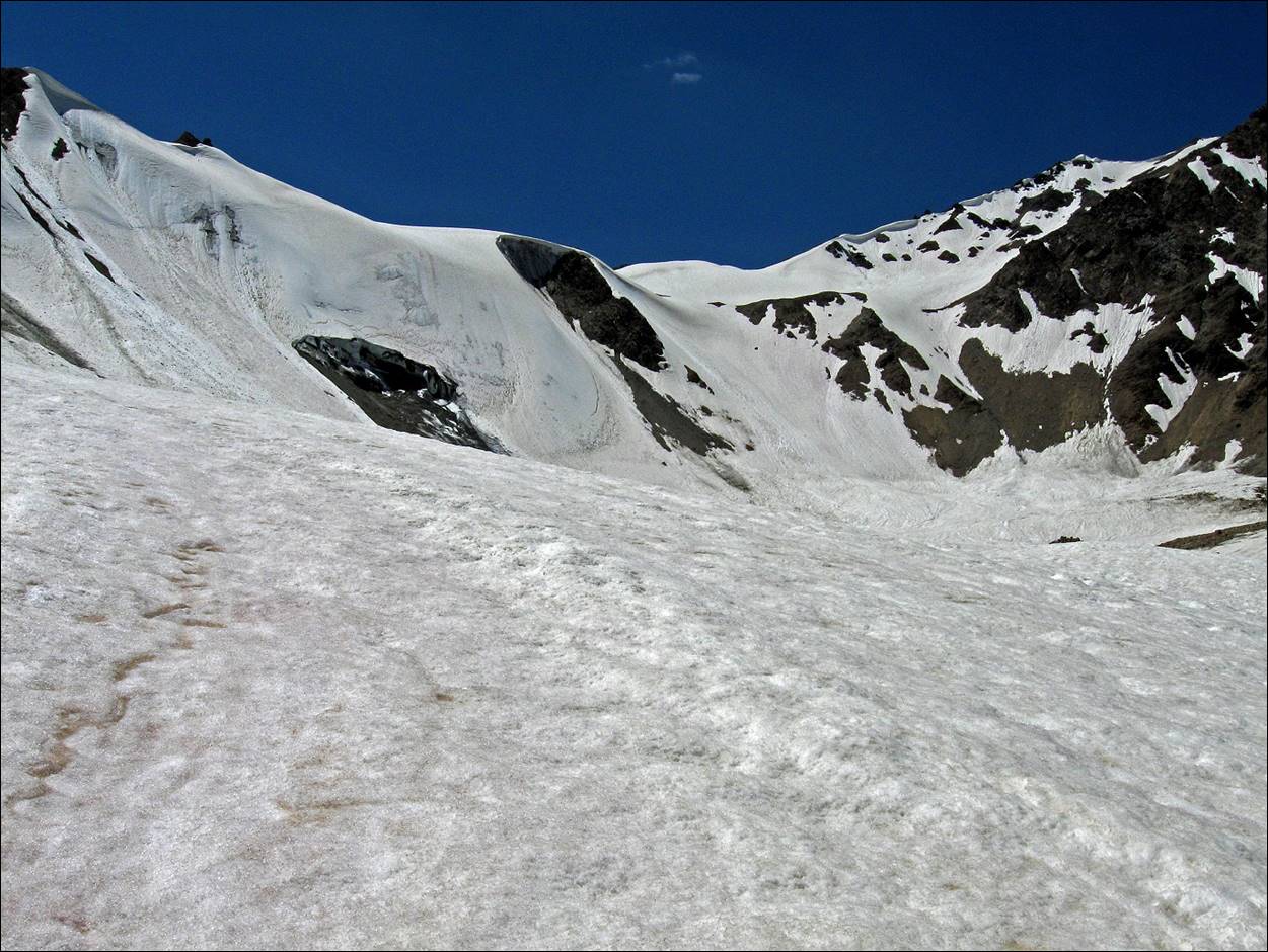
Langar pass (4418m).
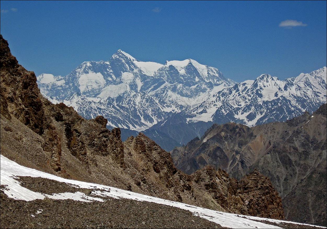
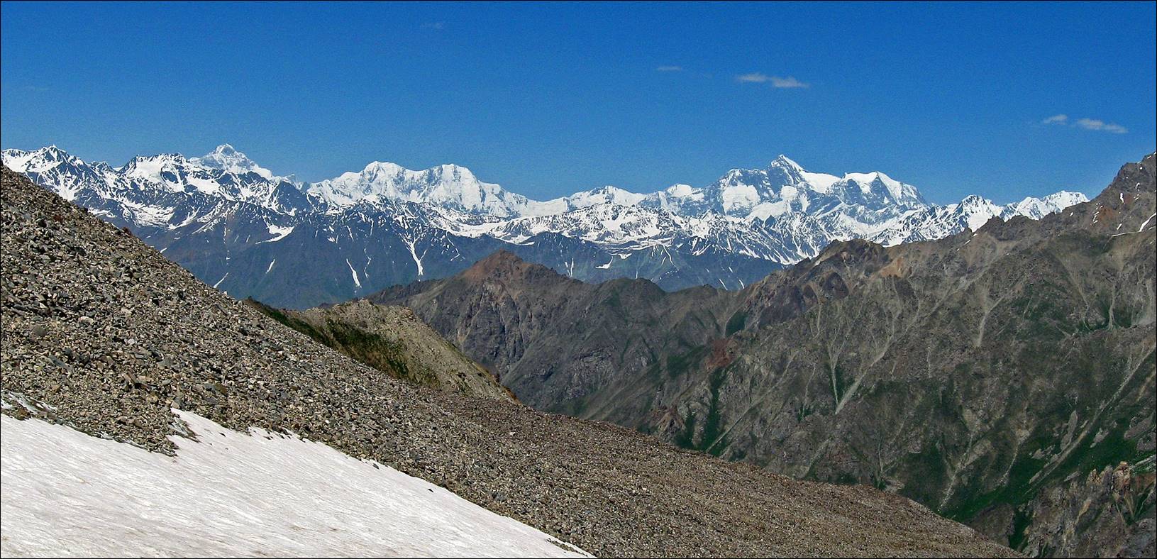
Views (toward
the north) of the Central Pamir from Langar pass,
with 7495m Peak Somoni (former Peak Communism), the
highest peak in the Pamir mountains.
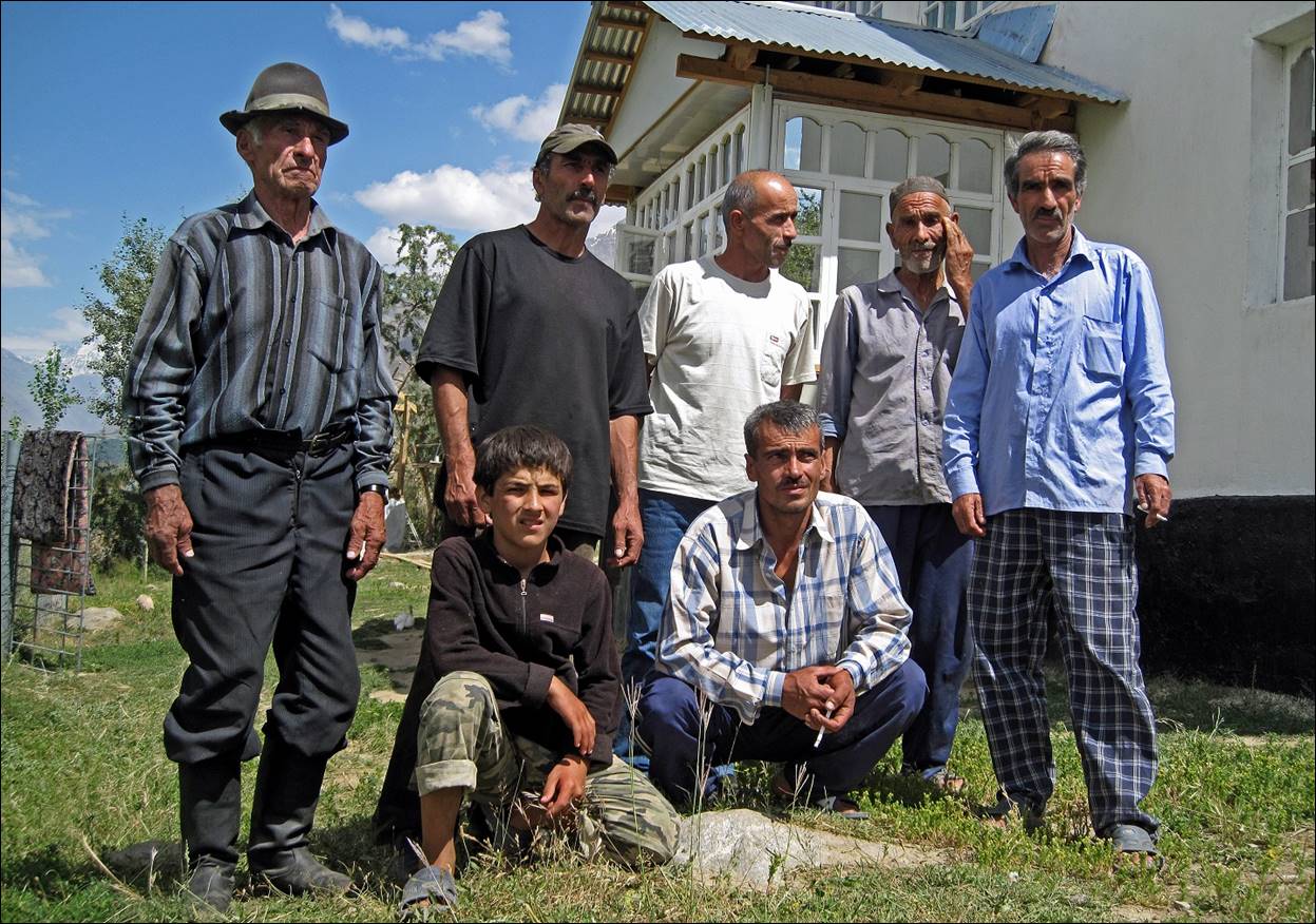
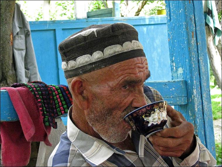
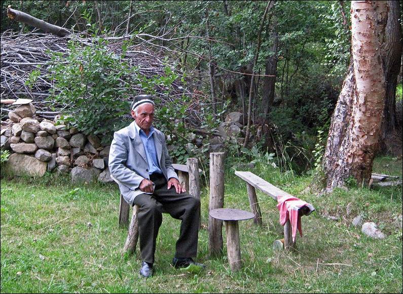
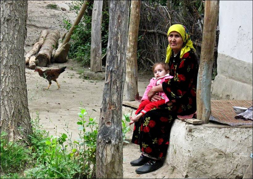
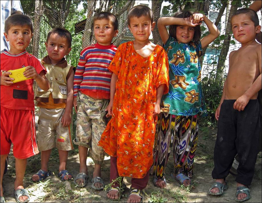
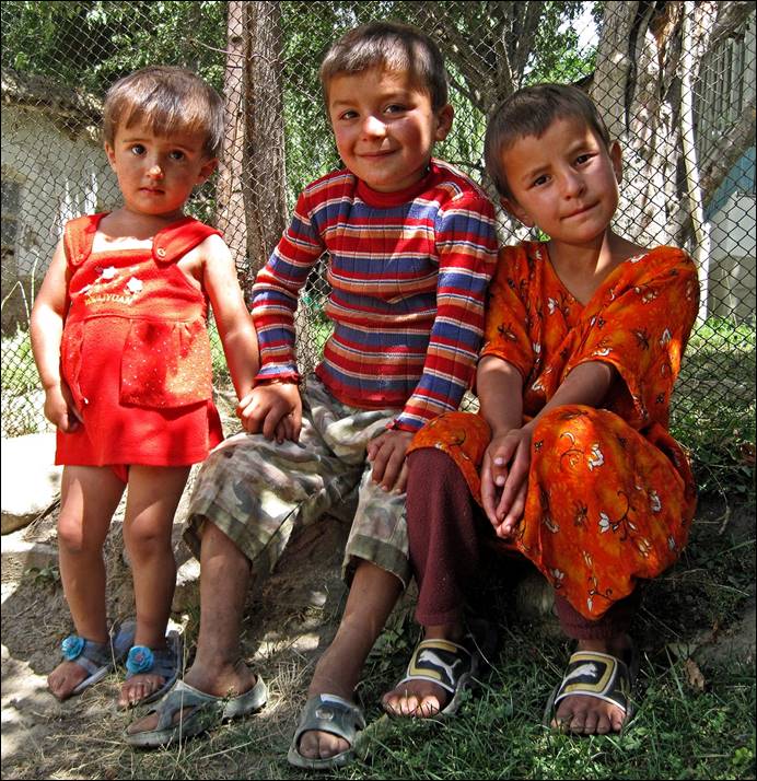
After descending from Langar pass, we stayed two days in Ghumash village, waiting for the car that would drive us back to Dushanbe. The people‛s hospitality in Ghumash was overwhelming. We were invited in almost every house of the village for breakfasts, lunches, and dinners.
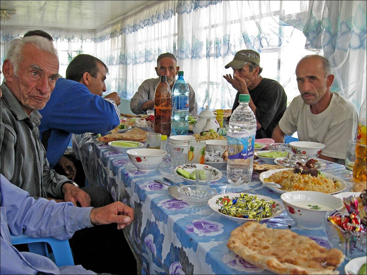
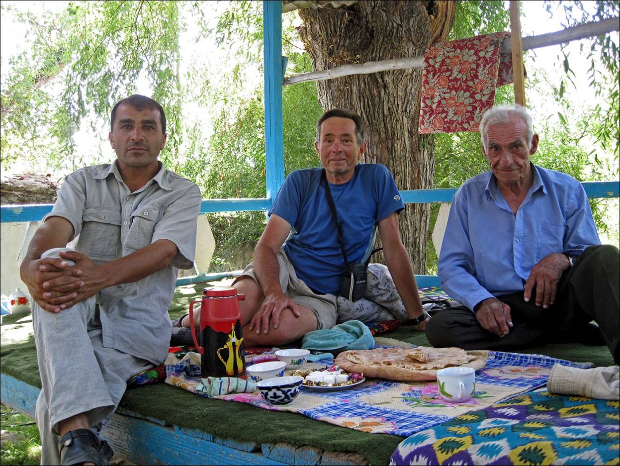
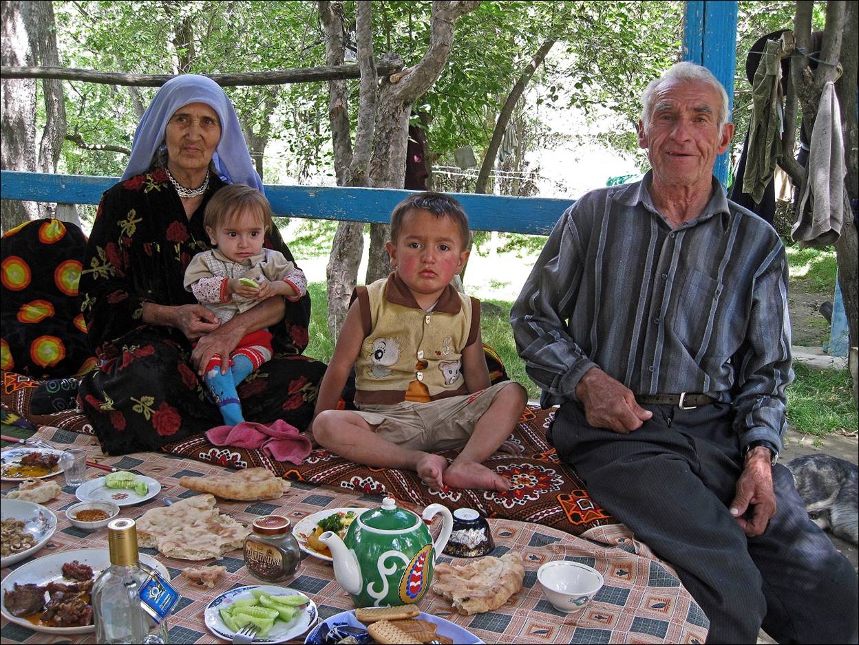
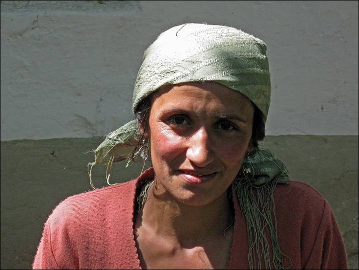
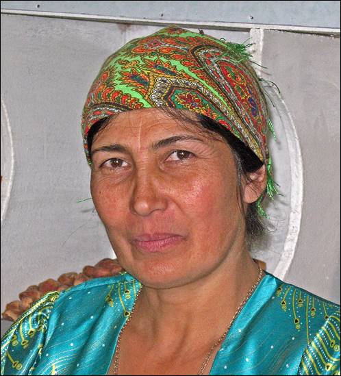
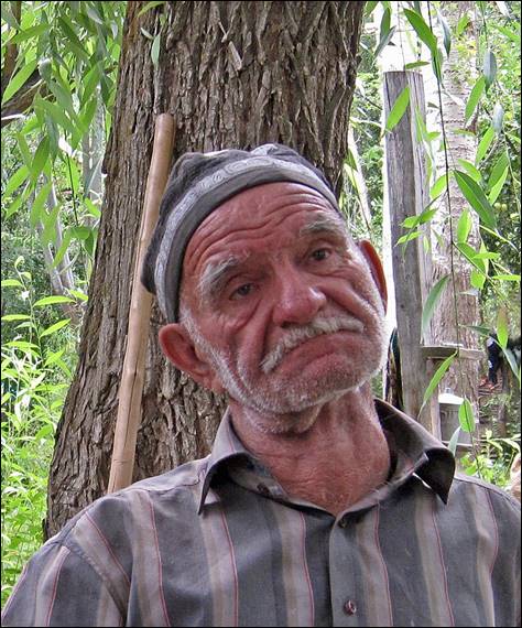
Some people of Ghumash village.
|
|
|
|
|
|
|
|
|
|
|
|
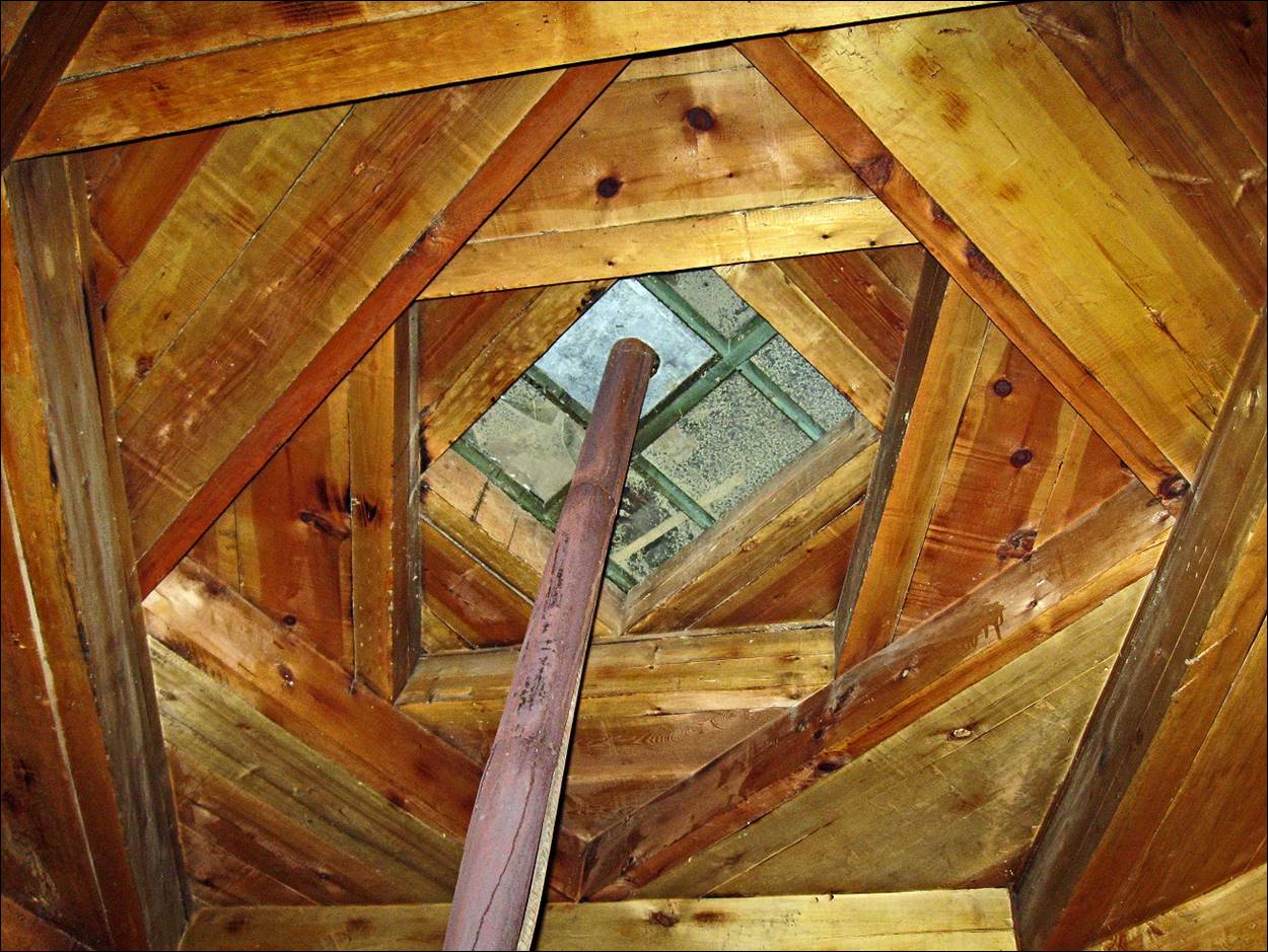
Typical ceiling in a Pamiri home (photo taken in one of Gumash‛s houses). It is made of four stacked square layers, each representing one of the four Zoroastrian elements (from bottom to top: earth, water, air and fire).
![]()