Uzbekistan (April 2018): Boysun and around
![]()
Return to main Uzbekistan 2018 page
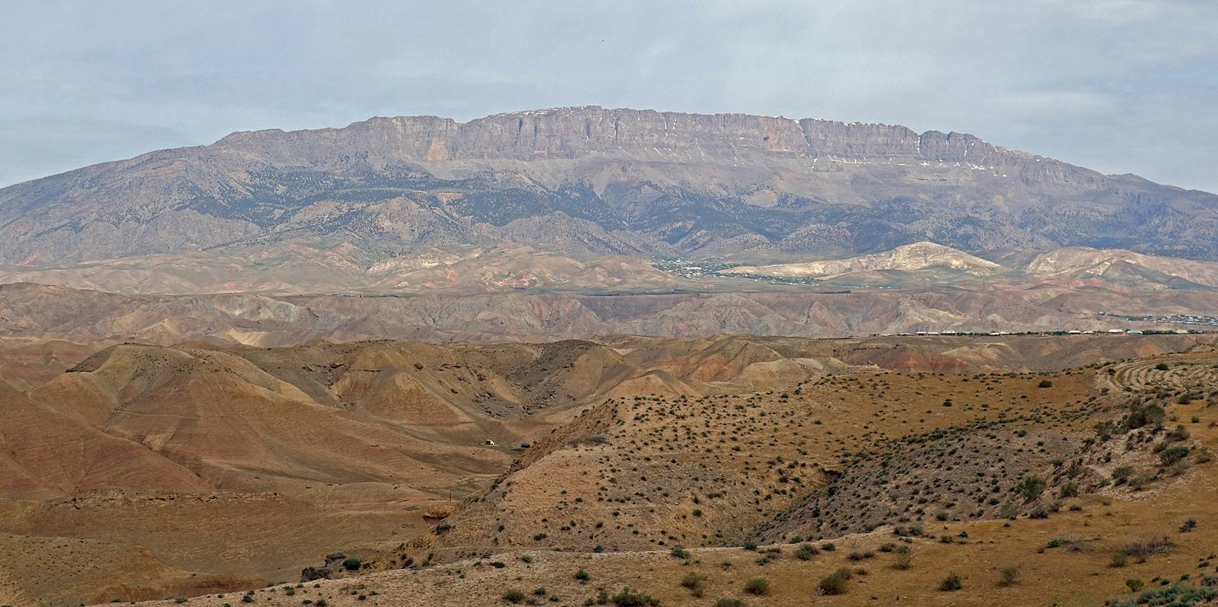
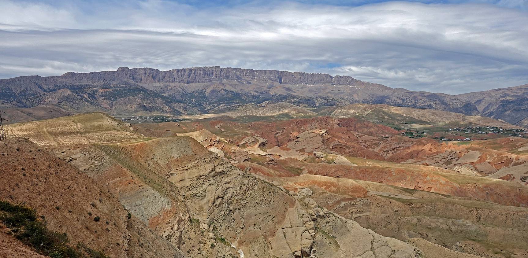
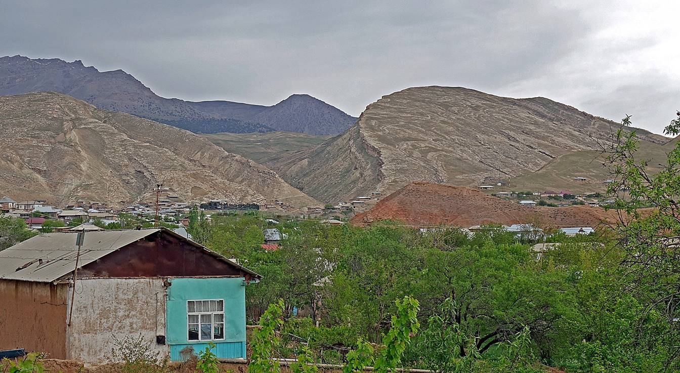
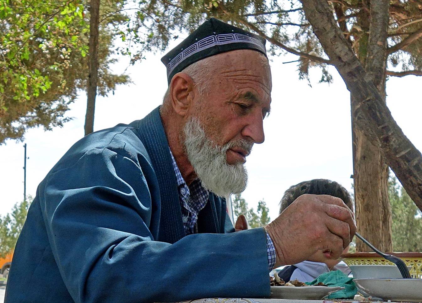
Located roughly 100km north of Termez, the small town of Boysun (pop. ~30,000) is nestled in a landscape of colorful hills and canyons. It is overlooked on its northern side by a dramatic ridge, which is part of the 200km-long Hissar range that extends across the border between Tajikistan and Uzbekistan. The town is populated mostly by ethnic Tajiks, some of whom had fled the civil war of the 1990′s in Tajikistan. It is proud of its multiple traditions: clothes, weaving, embroidery, music, dances, food, kupkari (called buzkashi in Afghanistan)... Unfortunately, I only stayed two days in Boysun. I missed its annual Bahori festival, which featured a major kupkari two weeks after my visit. The area seems also to be an ideal place for multi-day hiking and some serious rock climbing.
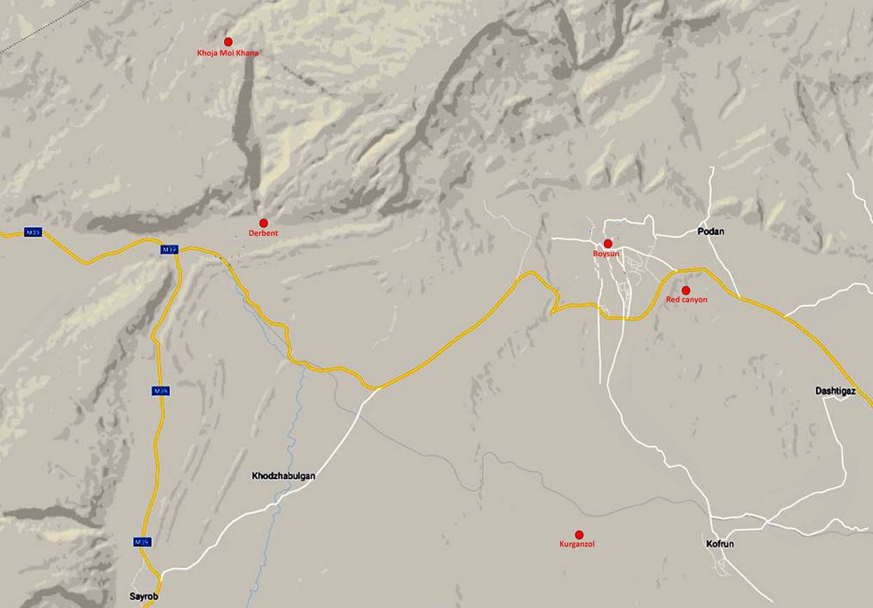
Map showing the approximate locations of the sites I visited (red dots). Their precise coordinates can be downloaded by clicking here (.kmz file) and opening the downloaded .kmz file in Google Earth.
Boysun:
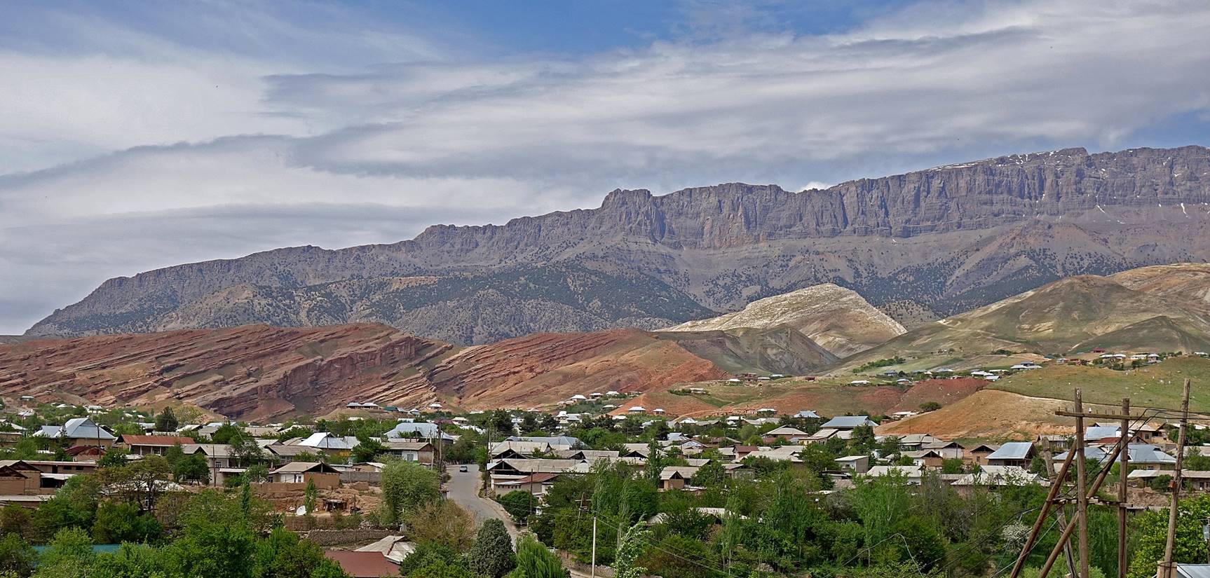
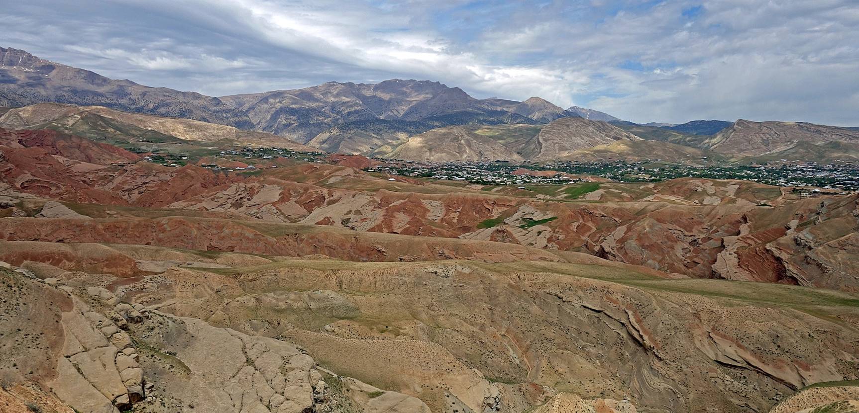
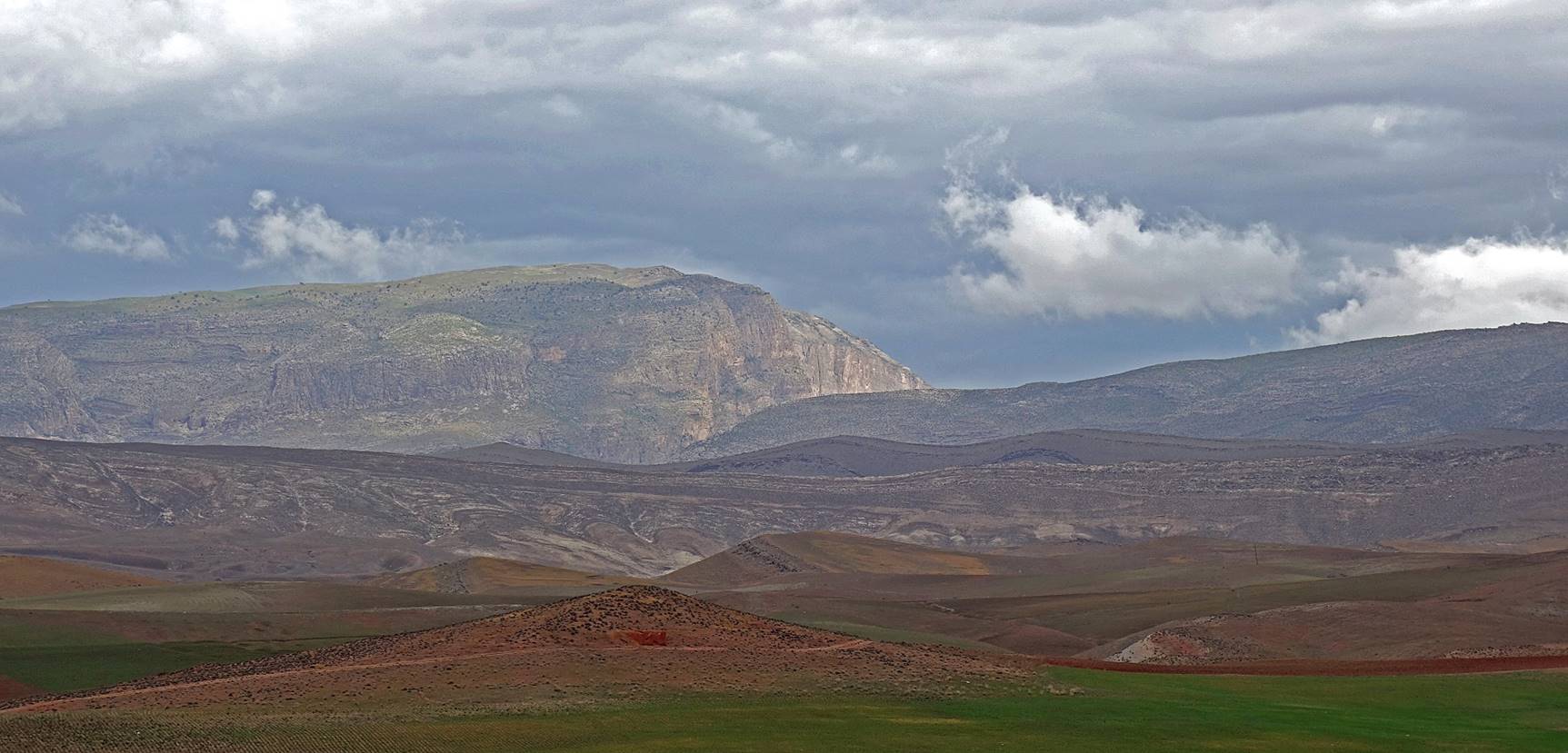
View of the ridge (called Boysuntoq?) above Boysun. The western extremity of the town is visible on the right of the photo.
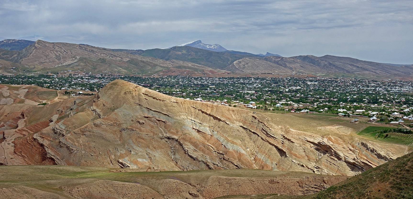
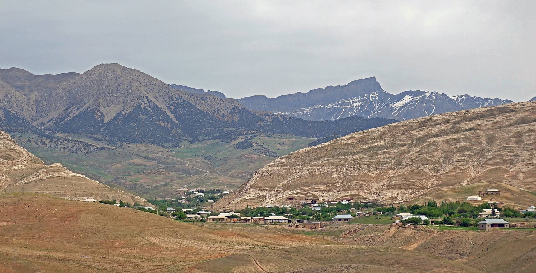
Various views of the town and the surrounding hills.
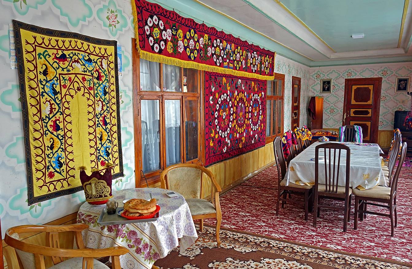
Reception/dining room in a traditional house, actually the friendly homestay where I stayed while in Boysun. The colorful embroidered hangings on the wall are called ″suzani″ (derived from a word that means ″needle″ in Persian). The owners of the homestay did not speak English, but the wife spoke very good French, which was helpful to arrange excursions around Boysun. Her husband drove me around for these excursions (Kyzyl canyon, Kurganzol, Khoja Moi Khana).
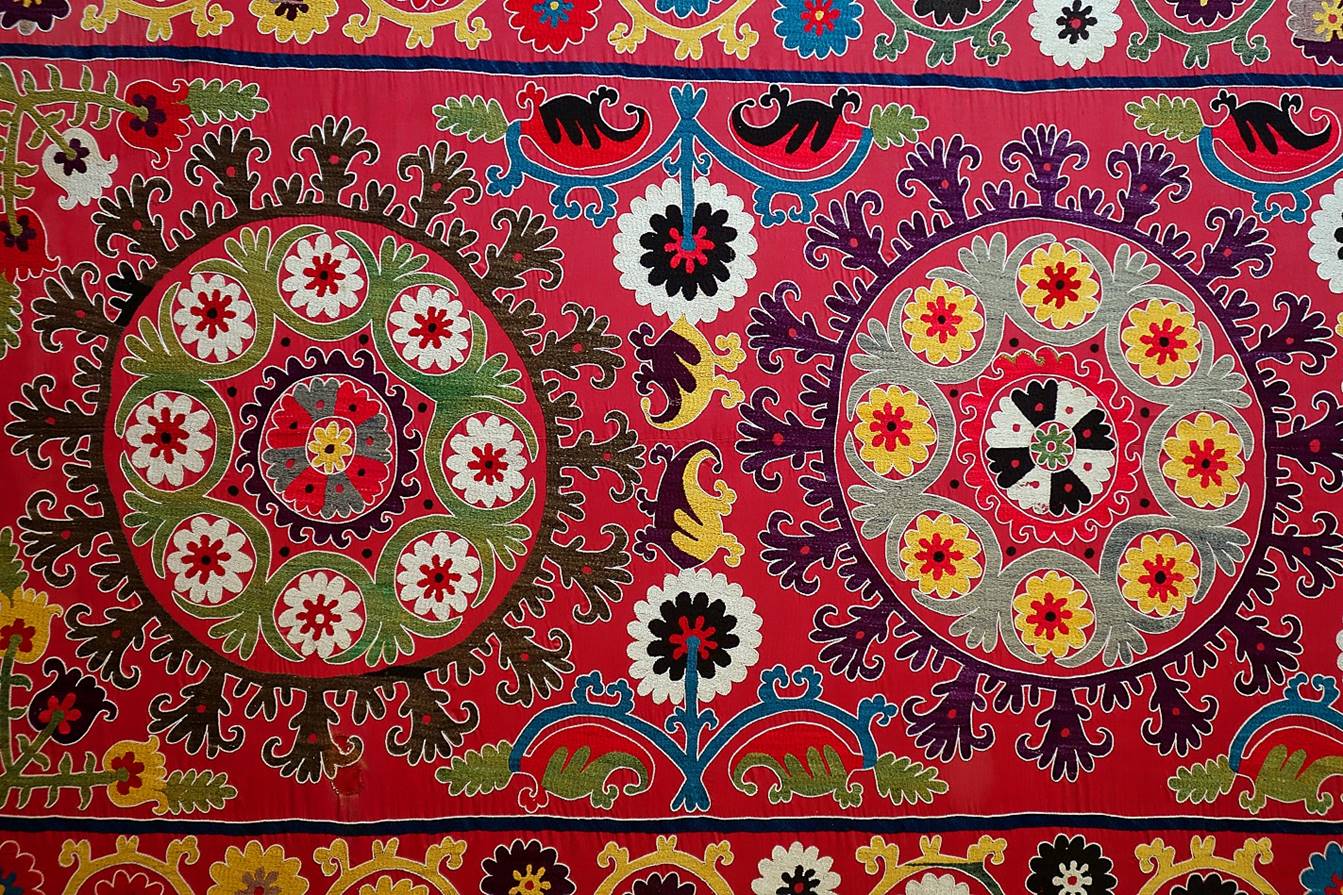
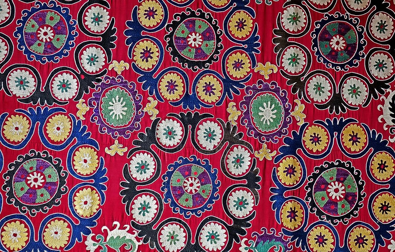
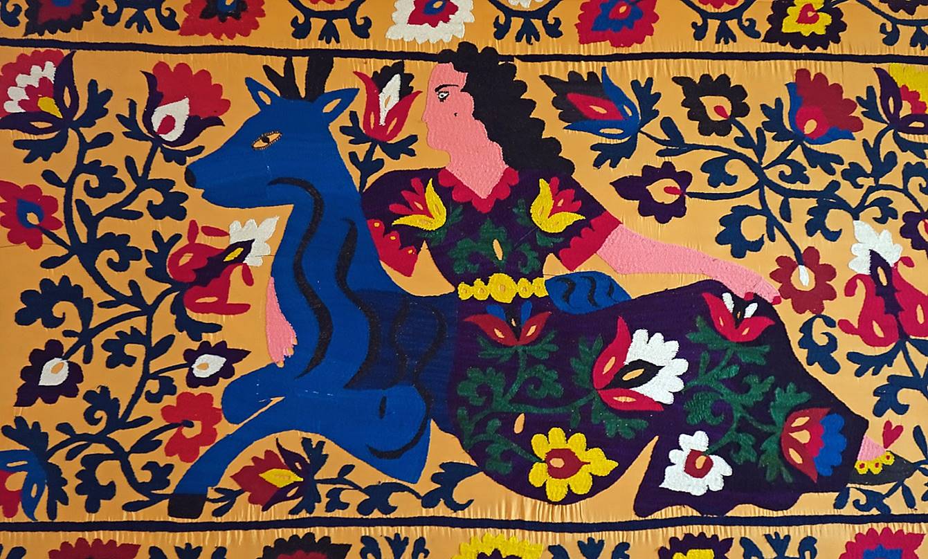
Other examples of suzanis (exposed in the small Boysun′s Museum of Applied Arts).
View from the homestay.
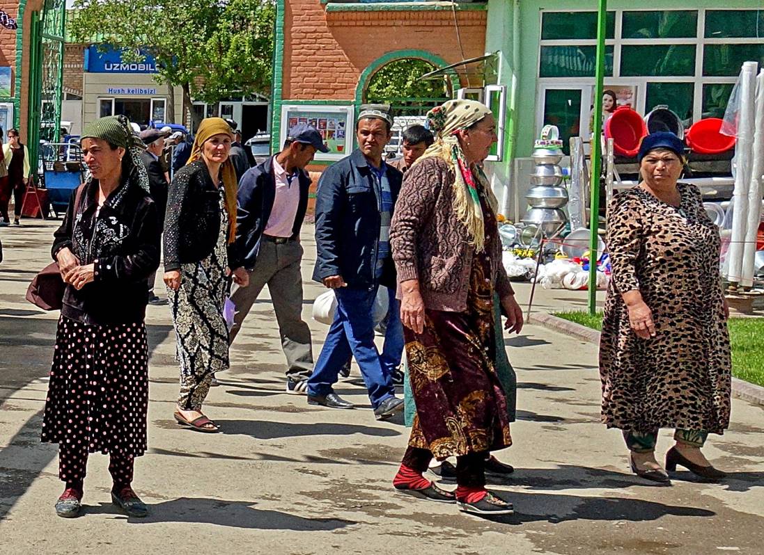
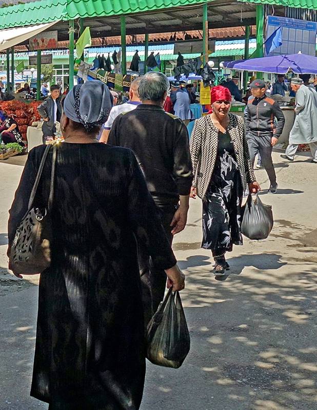
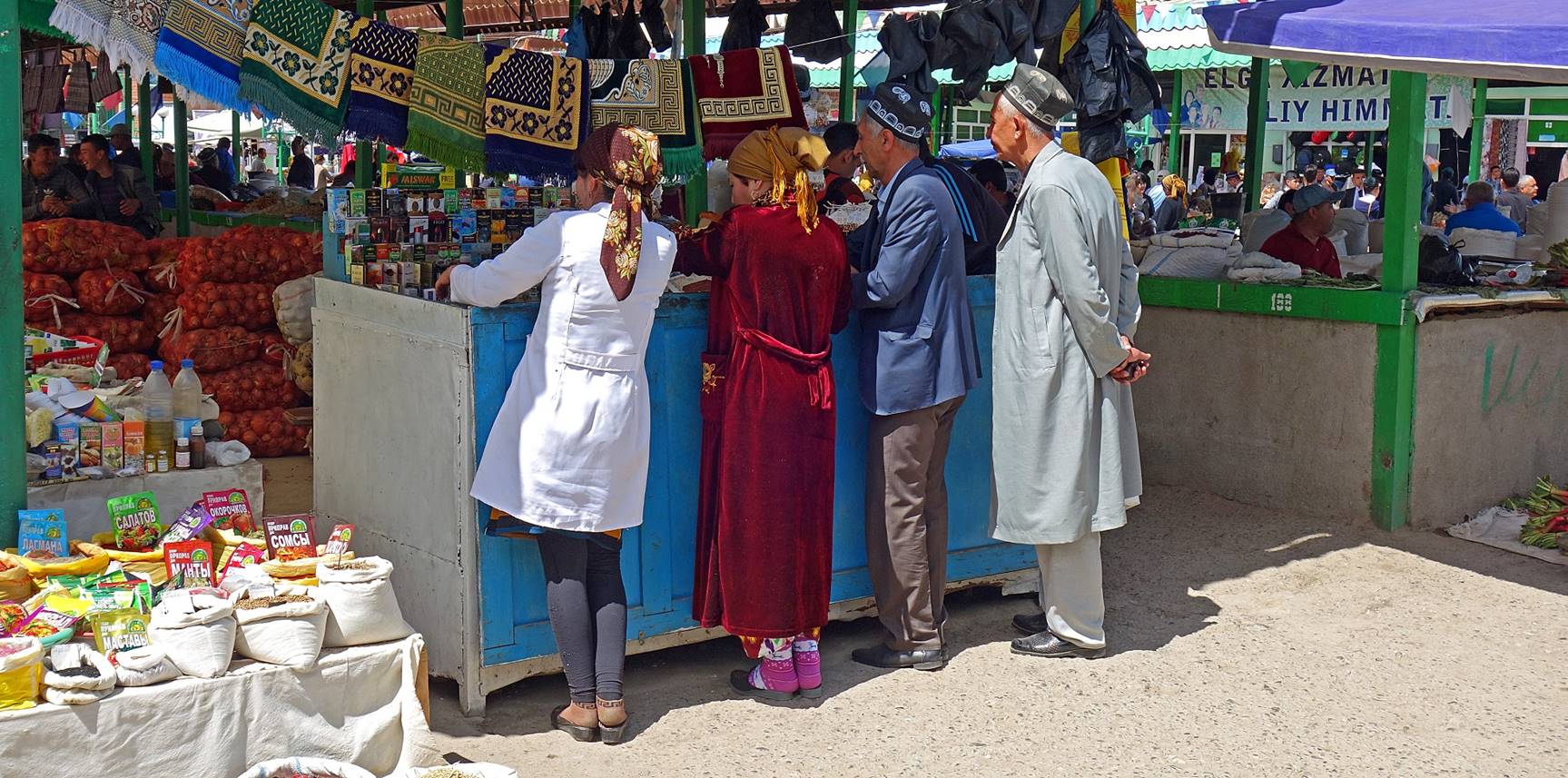
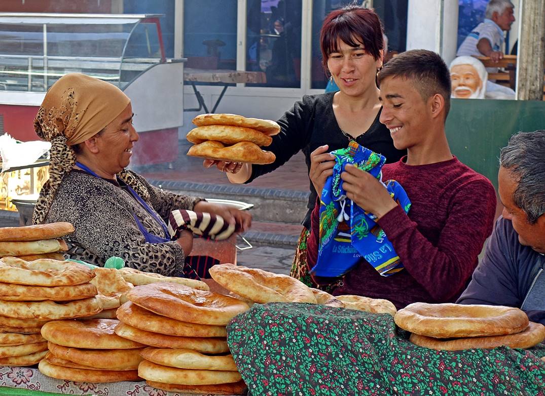
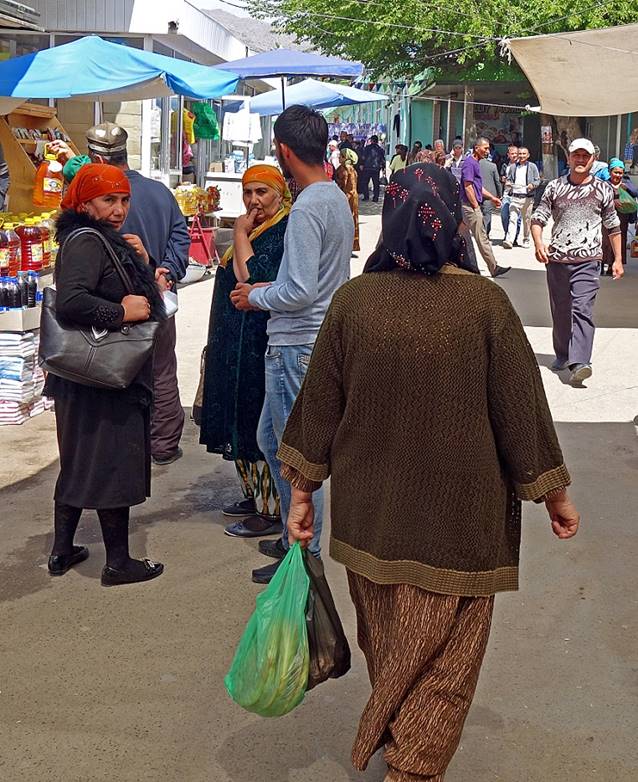
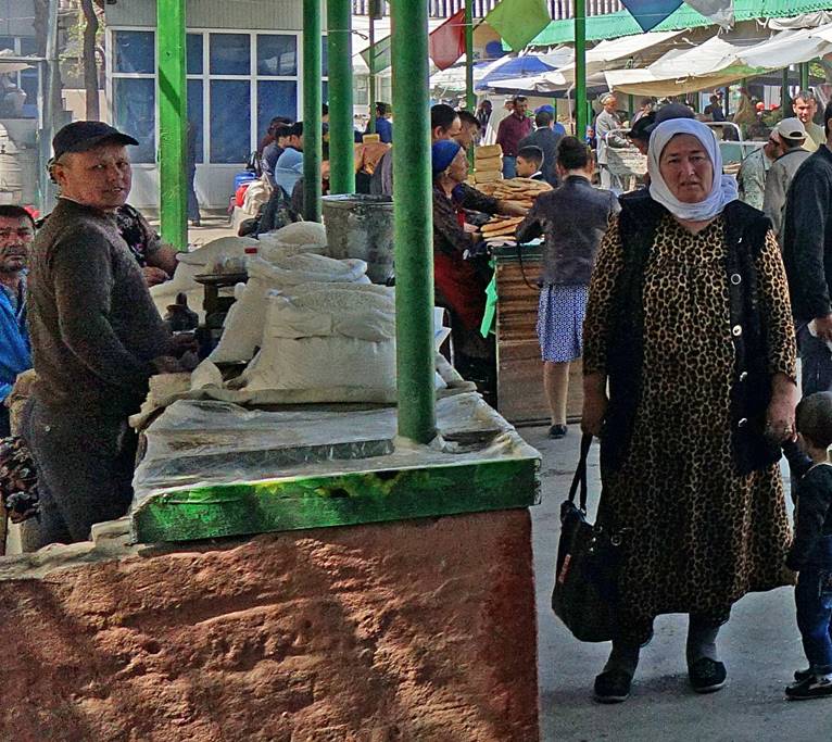
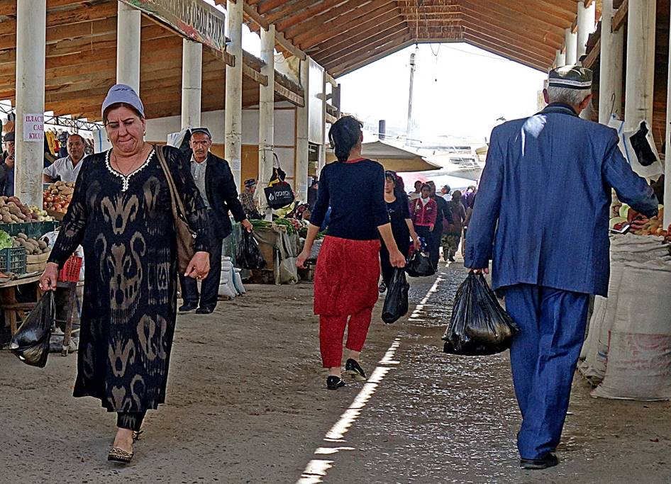
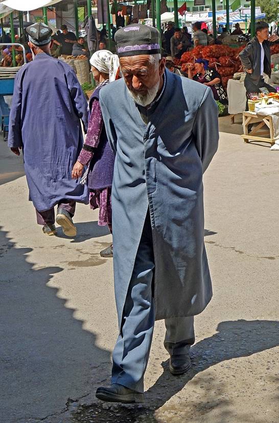
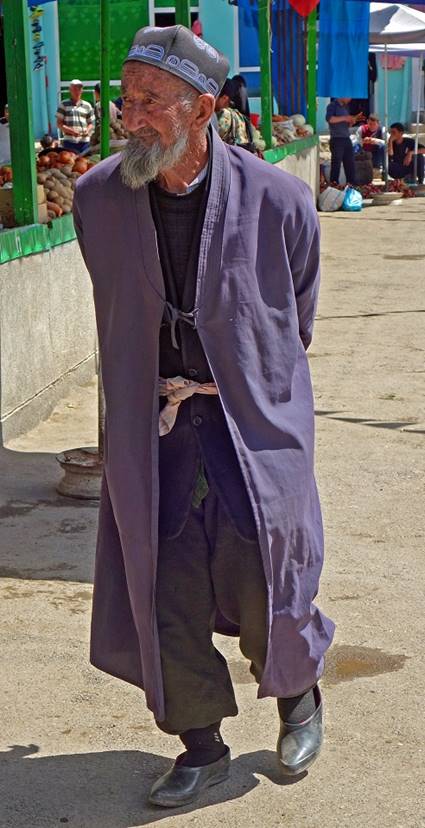
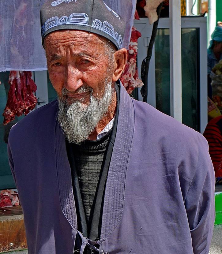
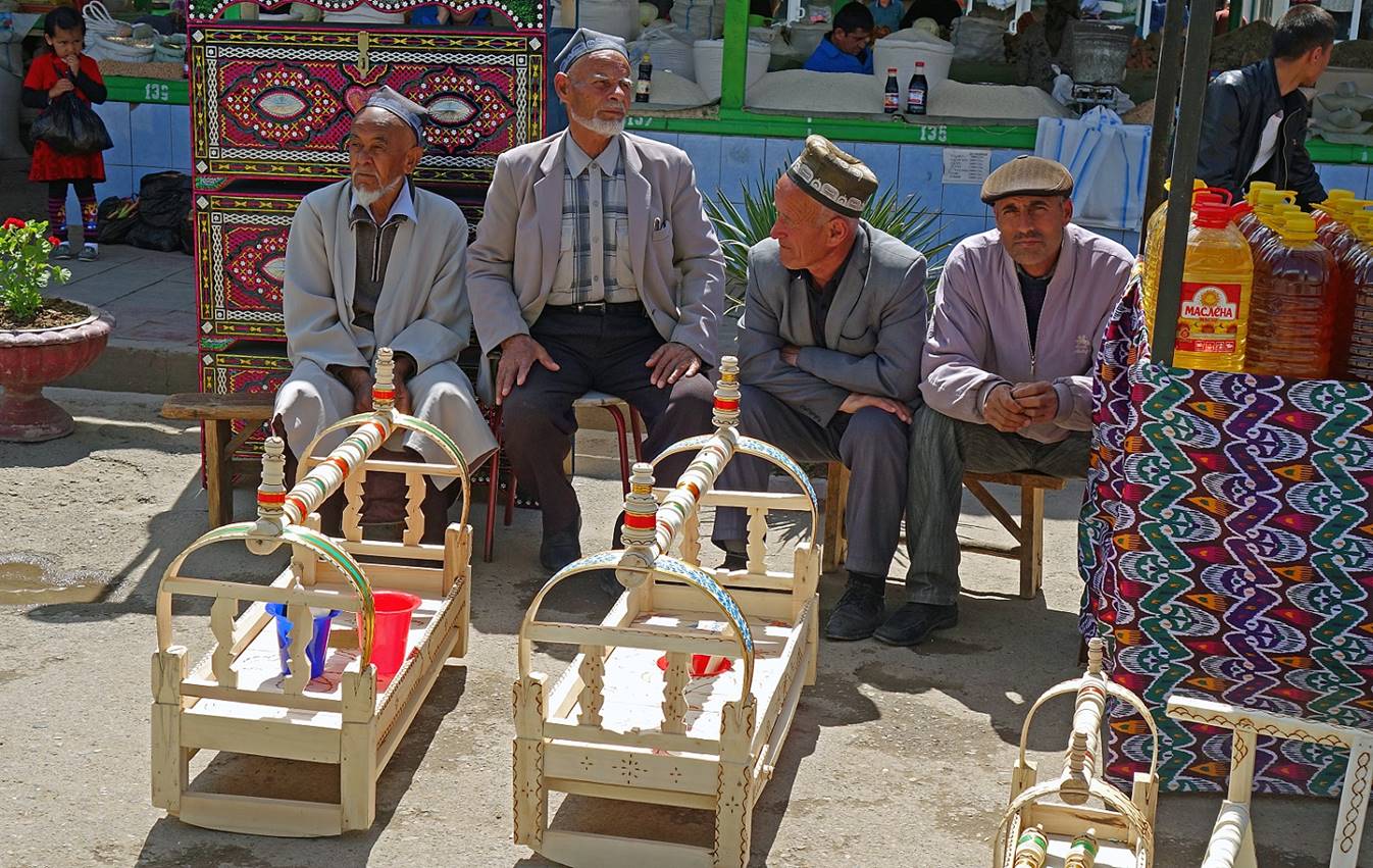
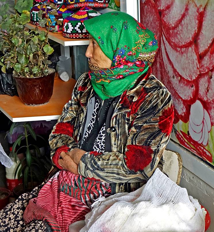
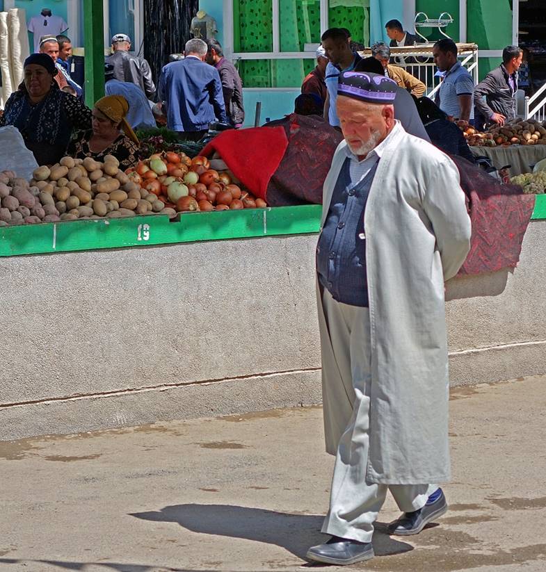
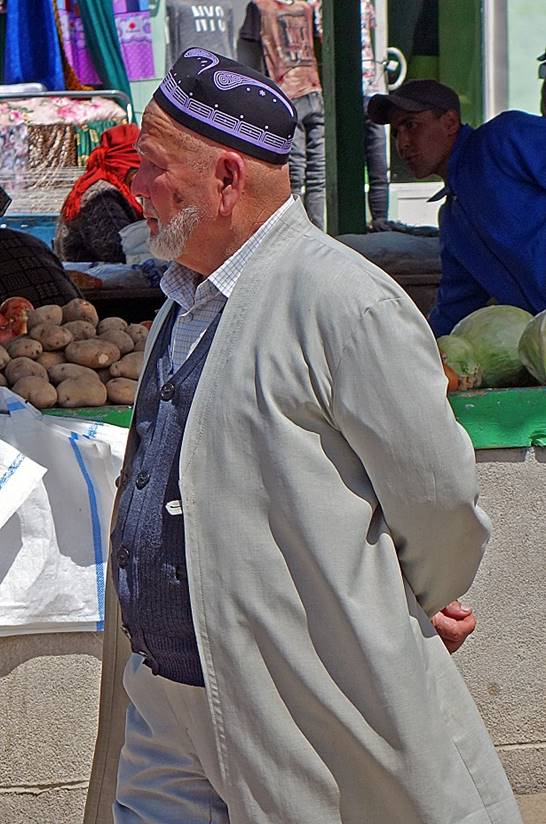
In the bazaar.
|
|
|
|
|
|
|
|
|
|
|
|
|
|
|
|

|
|
|
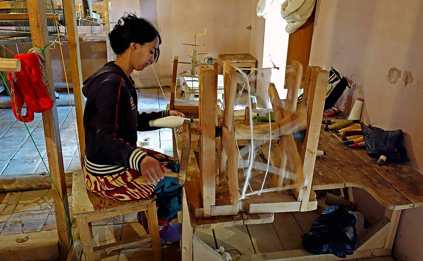
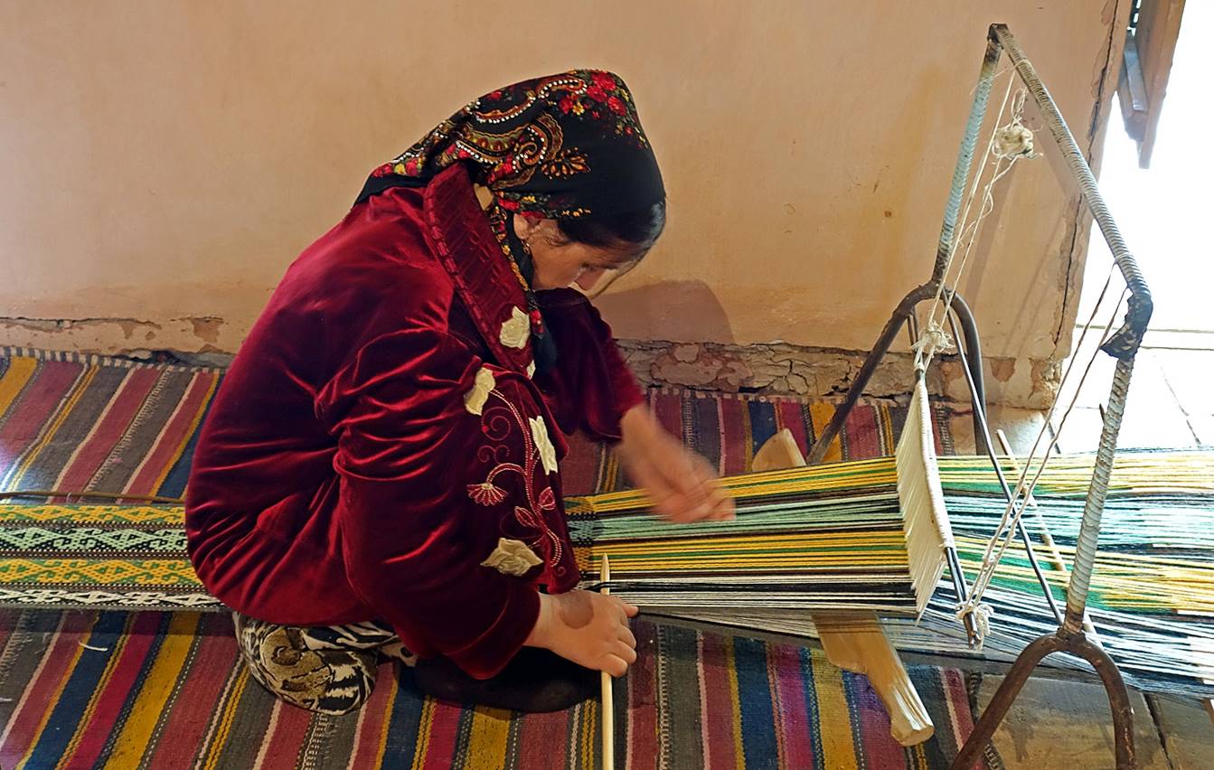
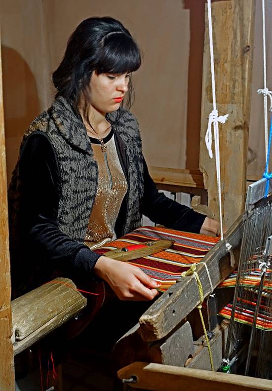
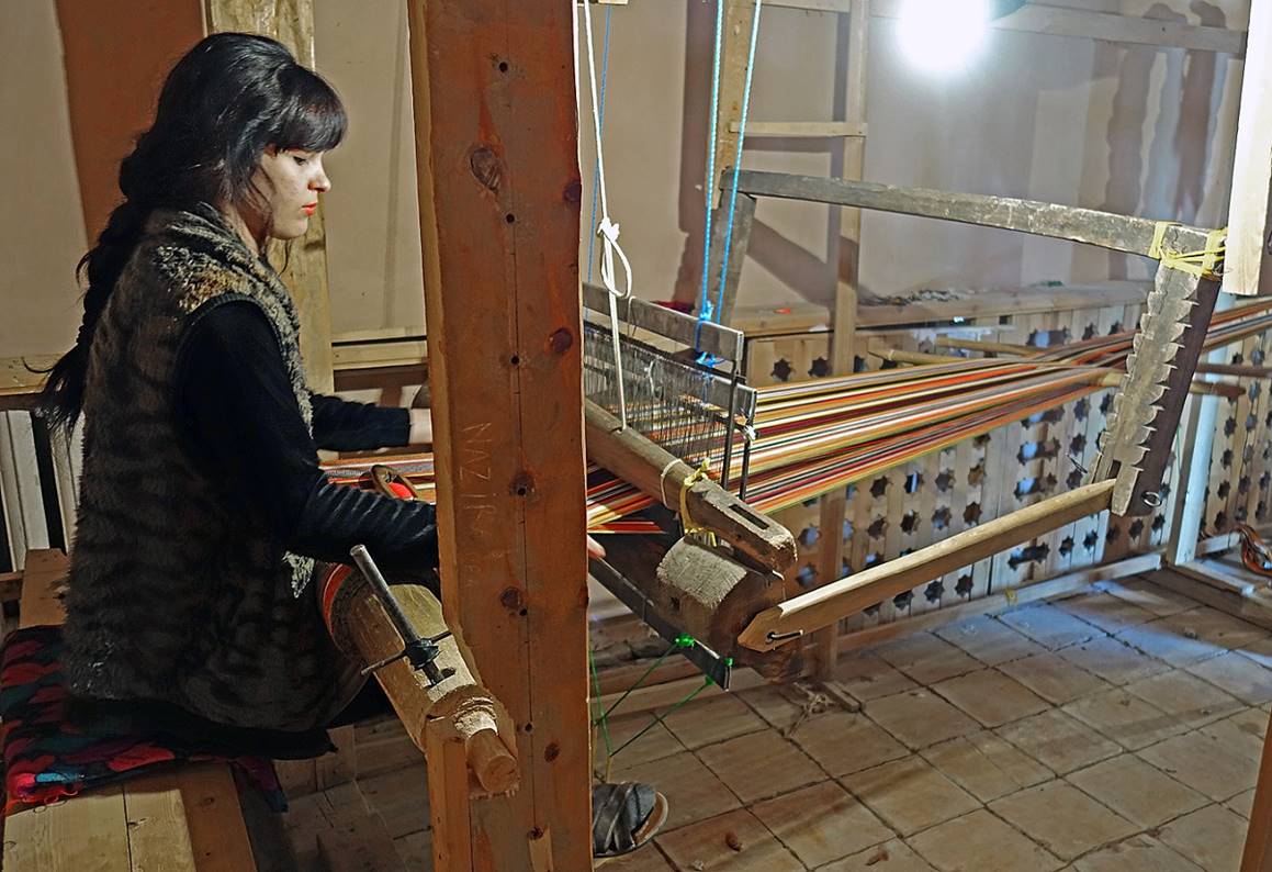
Spinning and weaving.
|
|
|
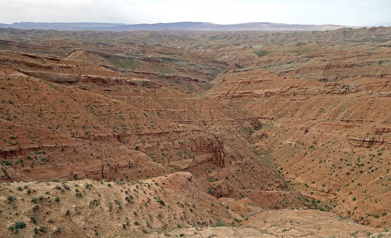
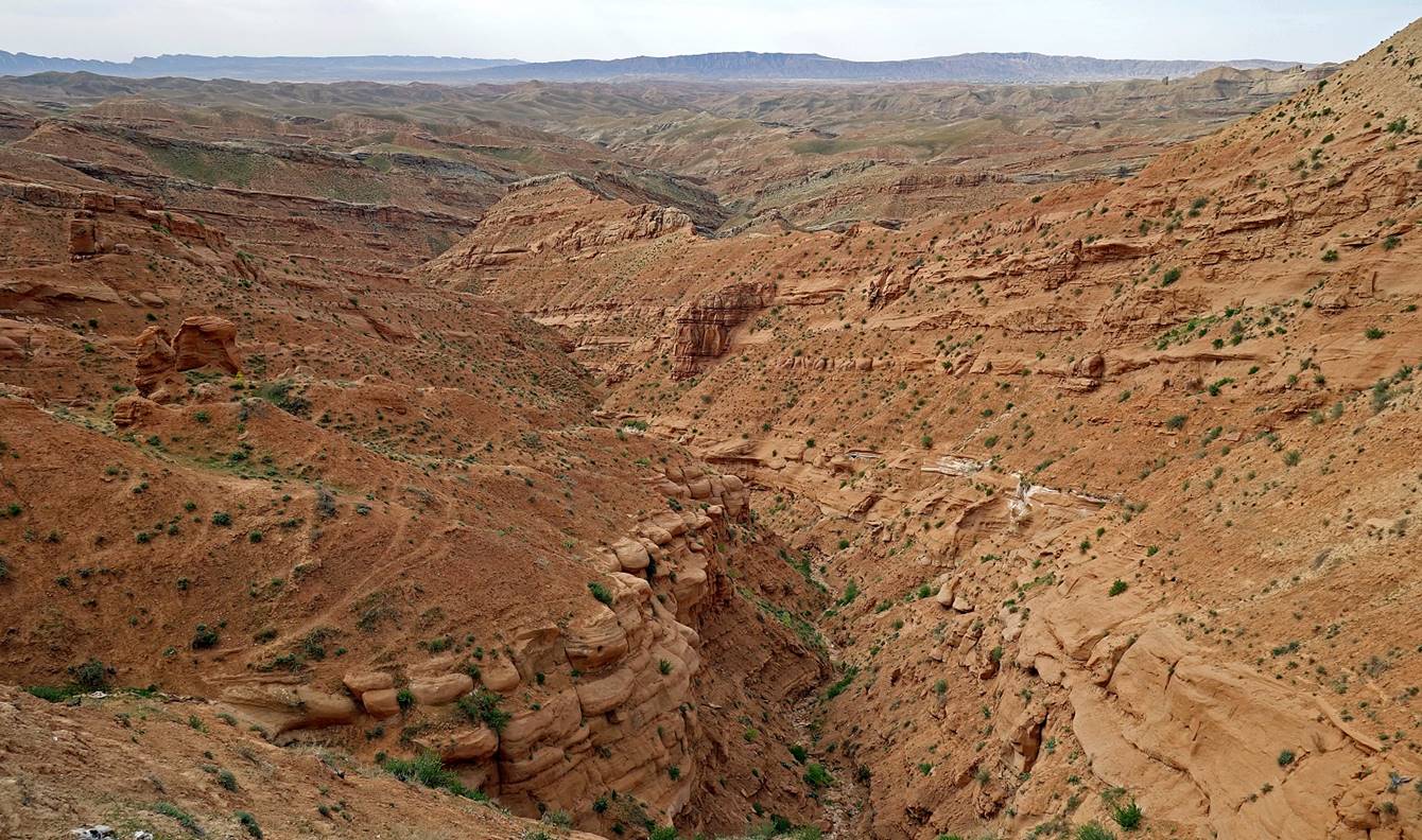
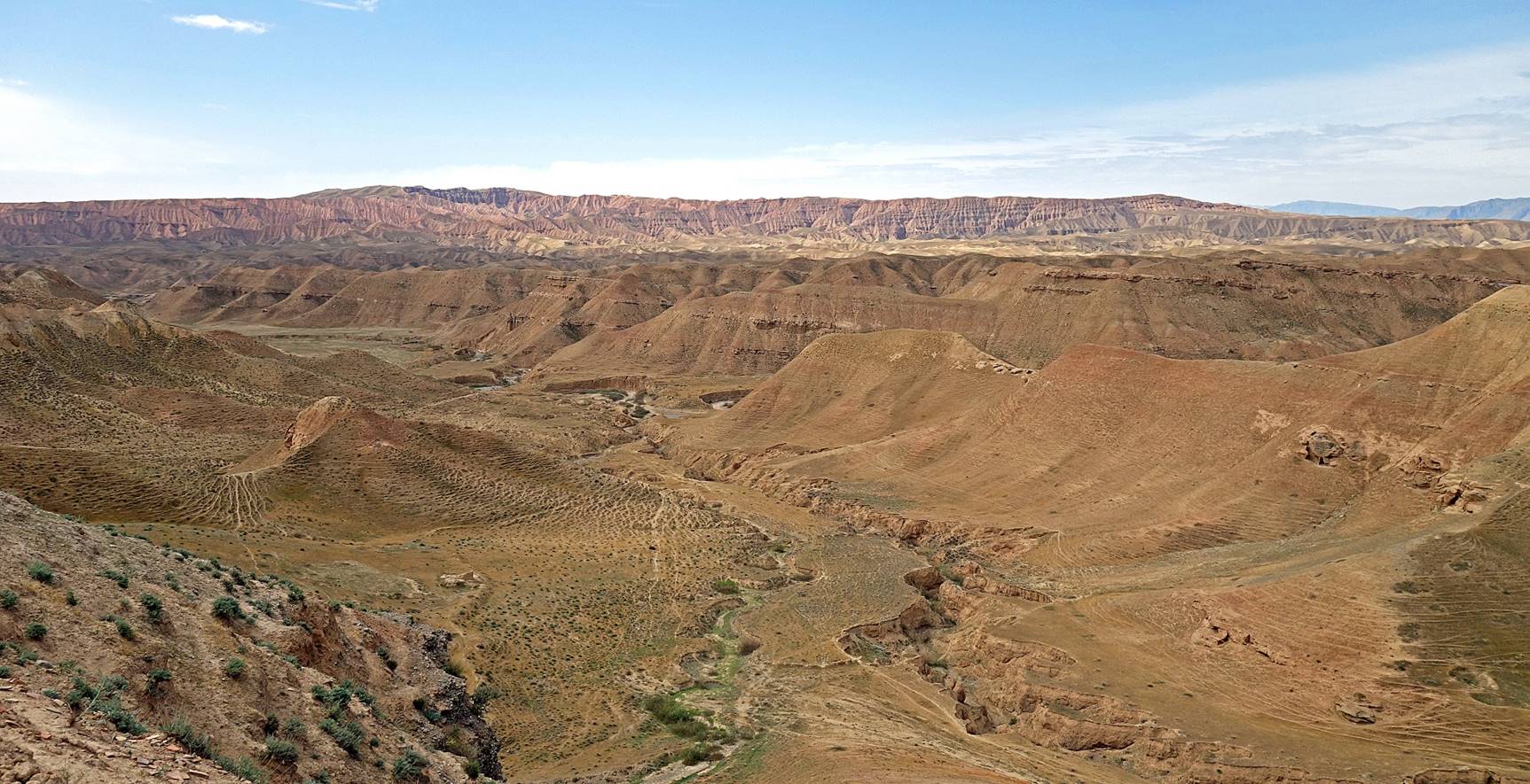
Views over the Kyzyl (red) canyon on the southeastern side of the town.
Kurganzol fortress:
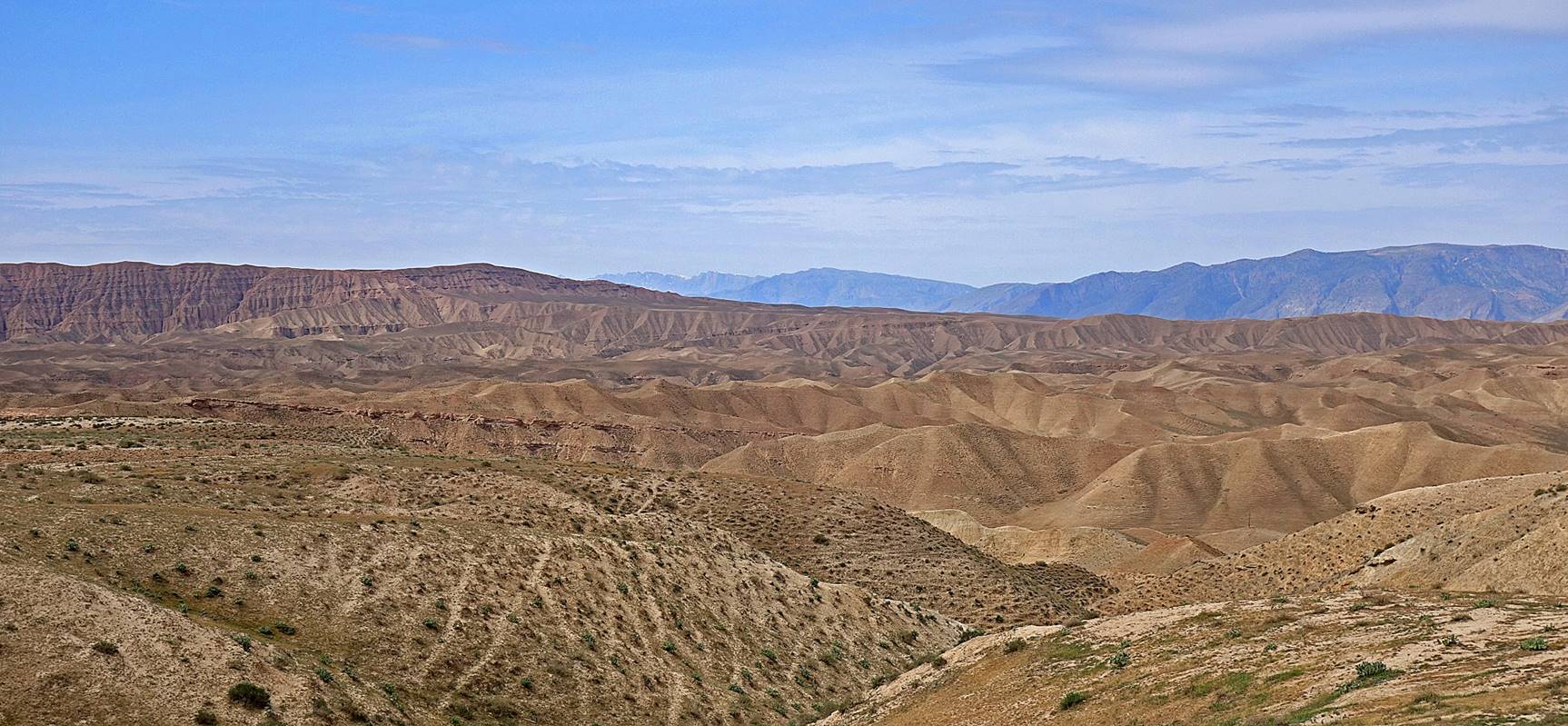
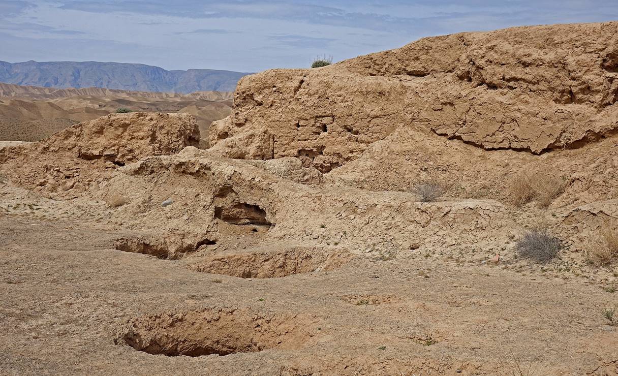
This ruined fortress, also known as the Alexander fortress, is located 12km south of Boysun (~1.6km southwest of the railway station). Analysis of pottery fragments has shown that it was built in the late 4th century BC during the conquest of the region by Alexander the Great and that it was occupied until the first half of the 2nd century BC. Although the archeological site does not look very impressive, the surrounding landscape is splendid.
Scenery before reaching the fortress (view toward the south).
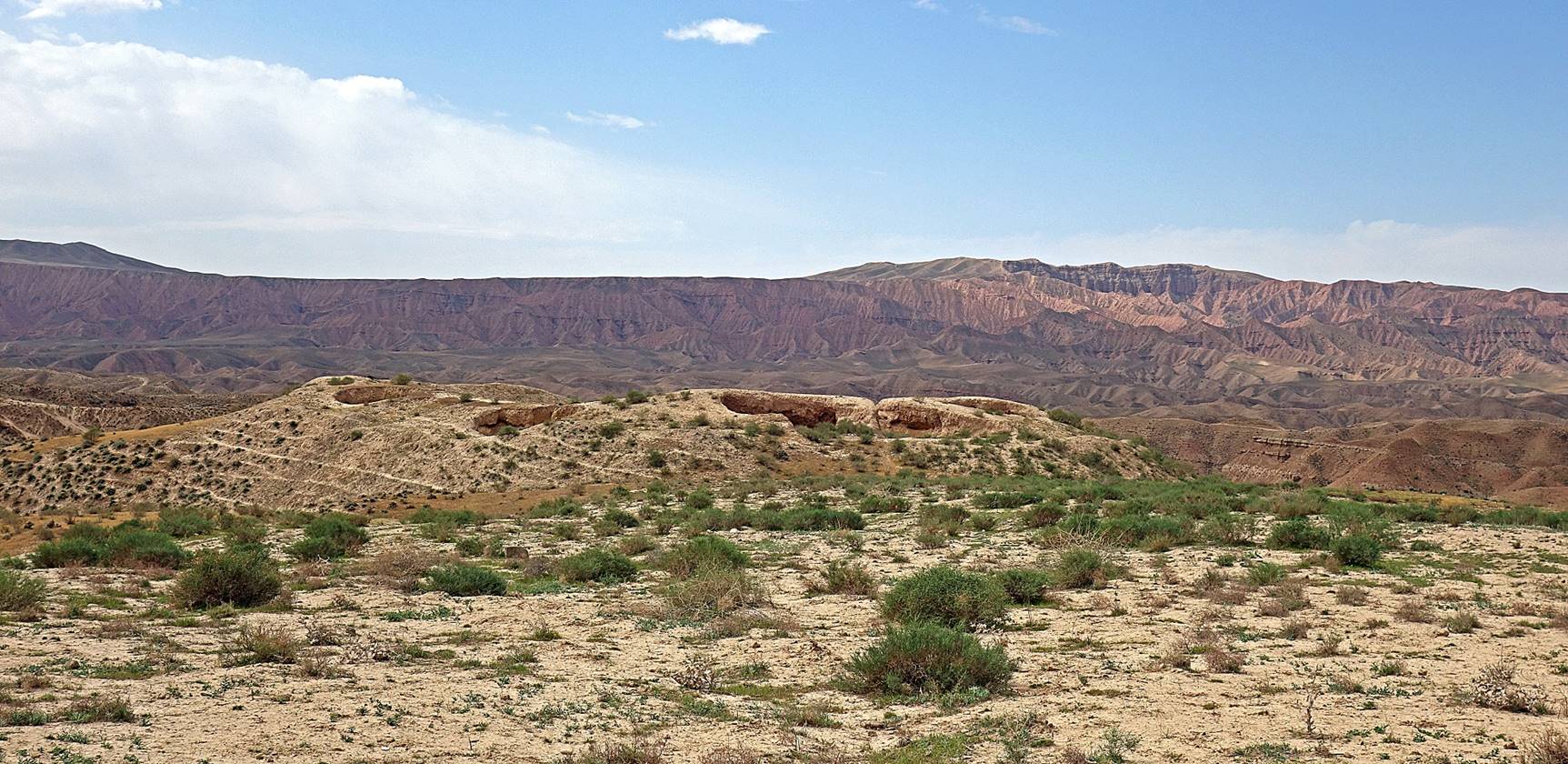
View over the ruined fortress from a distance.
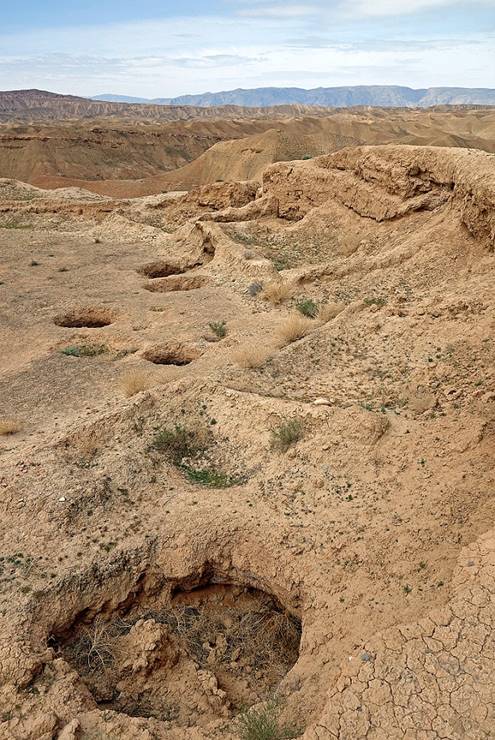
In the fortress. Holes (similar to those found at Kampir Tepe near Termez) have been created by large buried jars, probably used to store food.
|
|
|
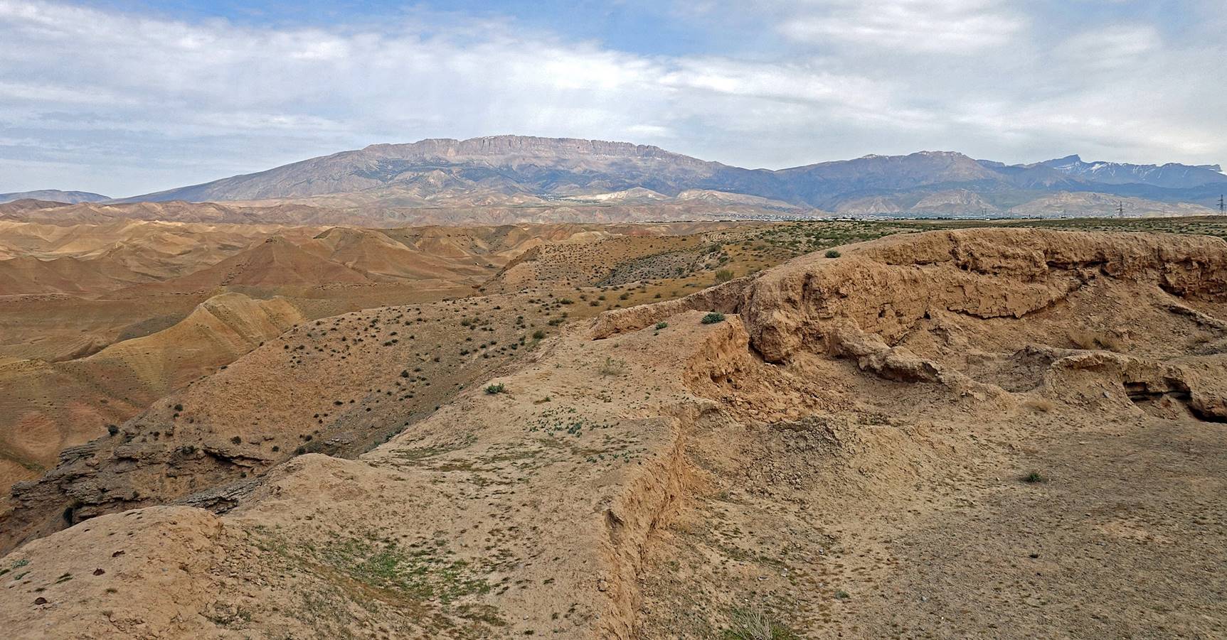
View from the fortress toward the north, hence toward Boysun.
View toward the south.
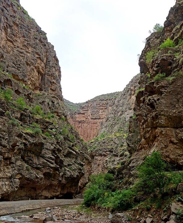
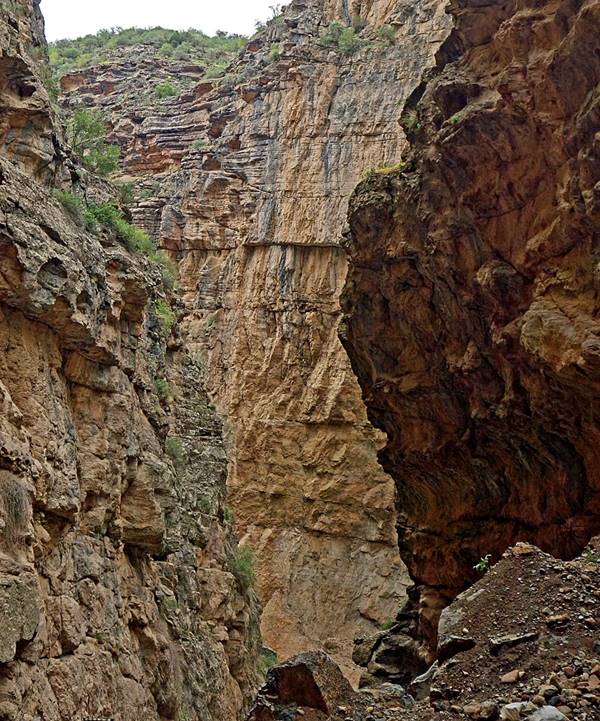
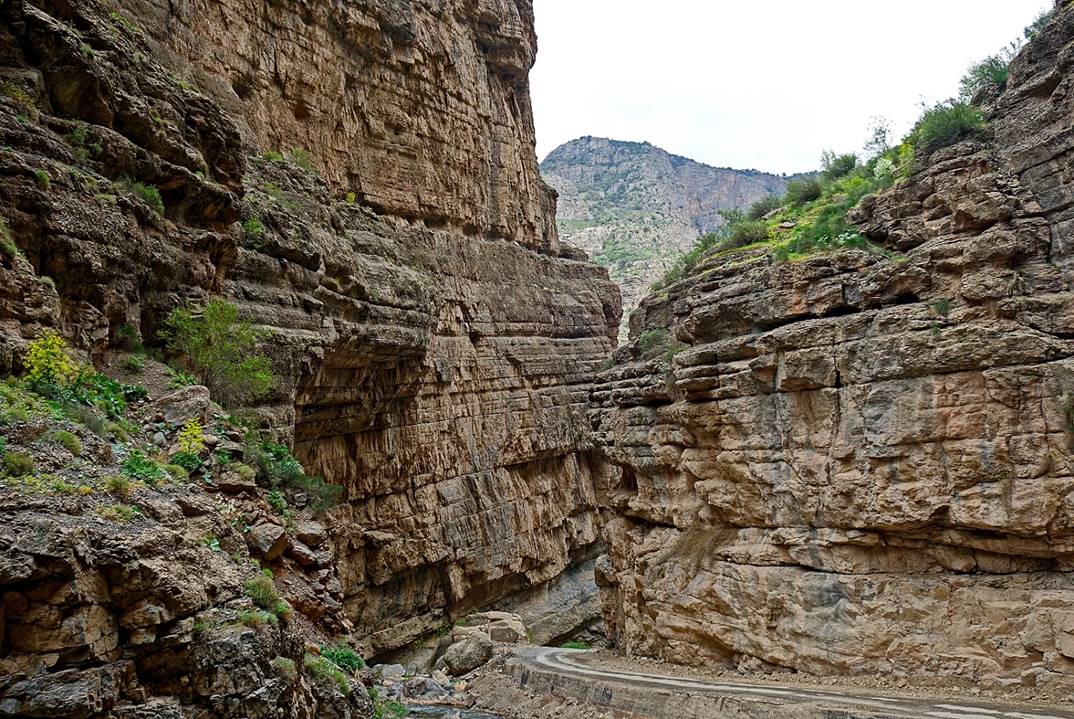
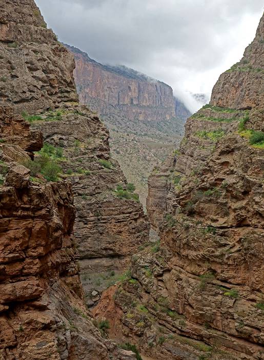
Derbent canyon and Khoja Moi Khana:
The village of Derbent is located 15km west of Boysun near the entrance of a deep narrow gorge. Not much reliable information is available regarding this gorge. Some websites suggest that it is the legendary Iron Gate that was used in ancient time as a year-round passage to cross the mountains between Bactria and Sogdiana. Sometimes the canyon is also called the Machay canyon, after the name of its river. The name Khoja Moi Khana was given to me by local people. It seems to refer to a sacred source of water located in the gorge, but I haven′t been able to confirm the accuracy of this information.
View toward Derbent from the south. Derbent lies at the foot of the huge cliff.
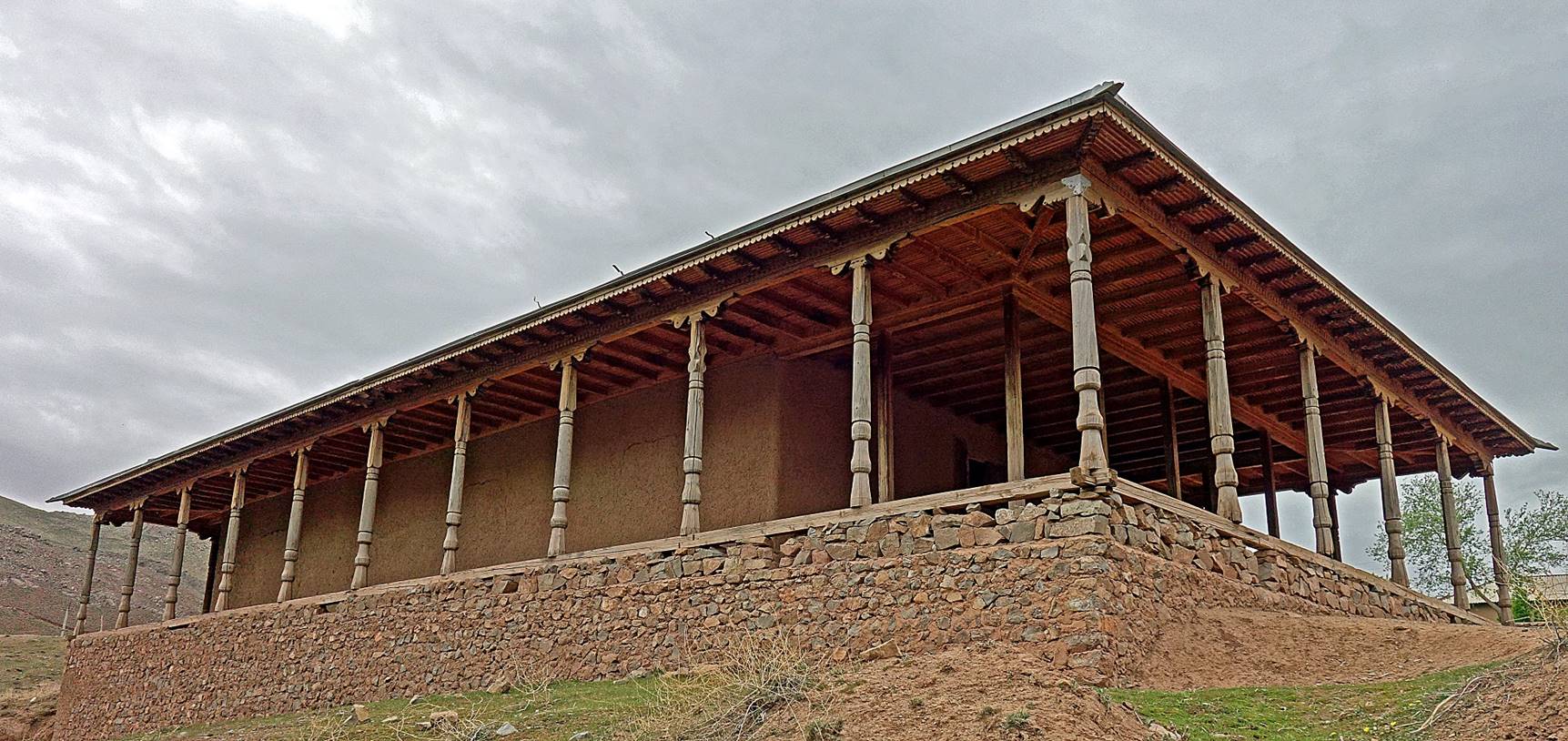
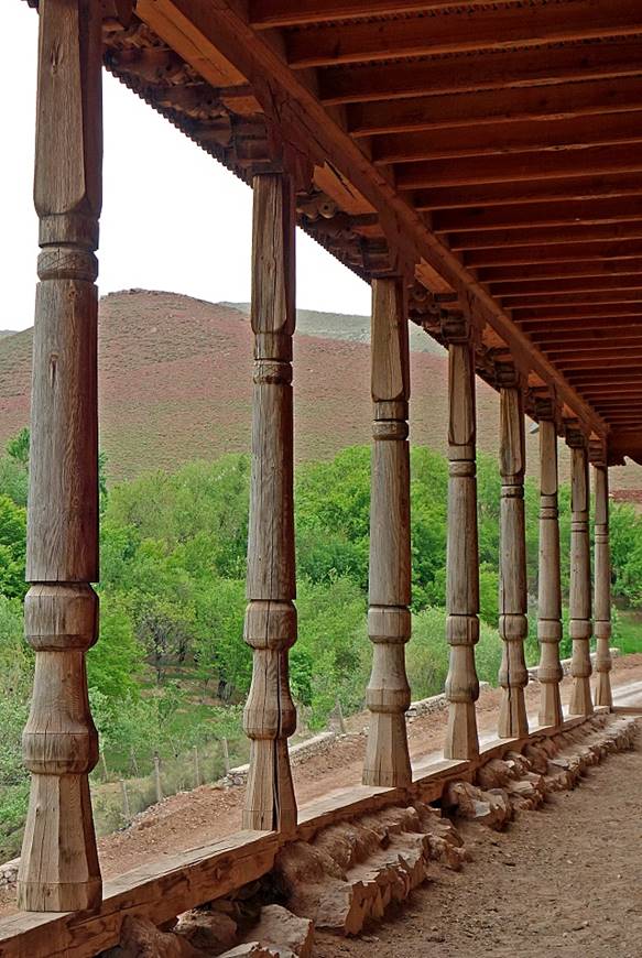
Old mosque surrounded by wooden columns in Derbent. Its general shape and proportion bear similarities with those of ancient Greek temples. Is this another example of Greek influence on religious art and architecture in this region?
|
|
|

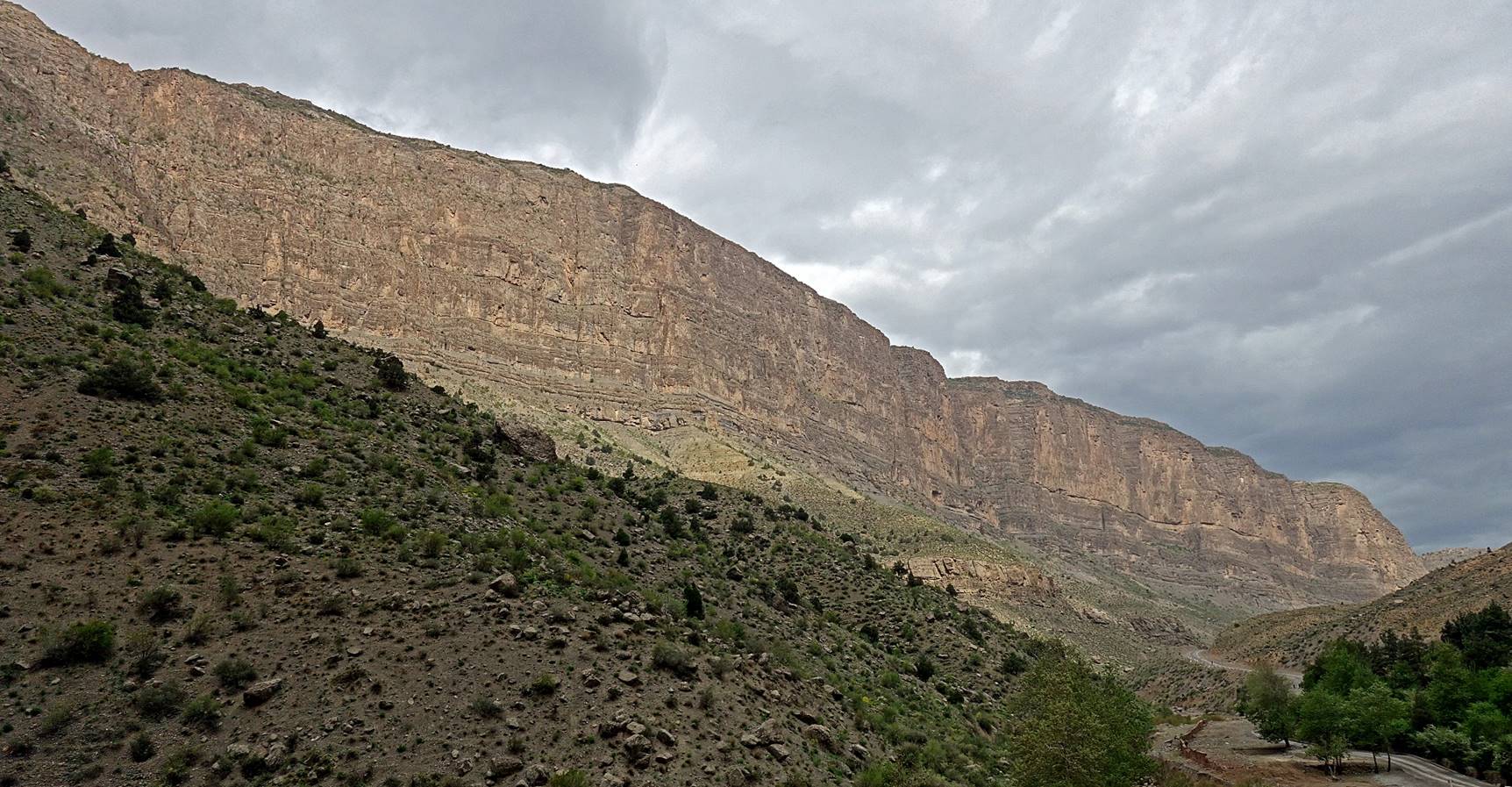
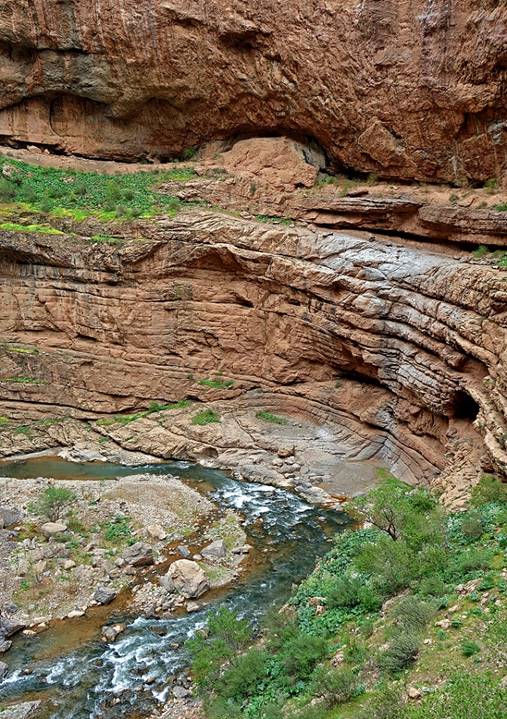
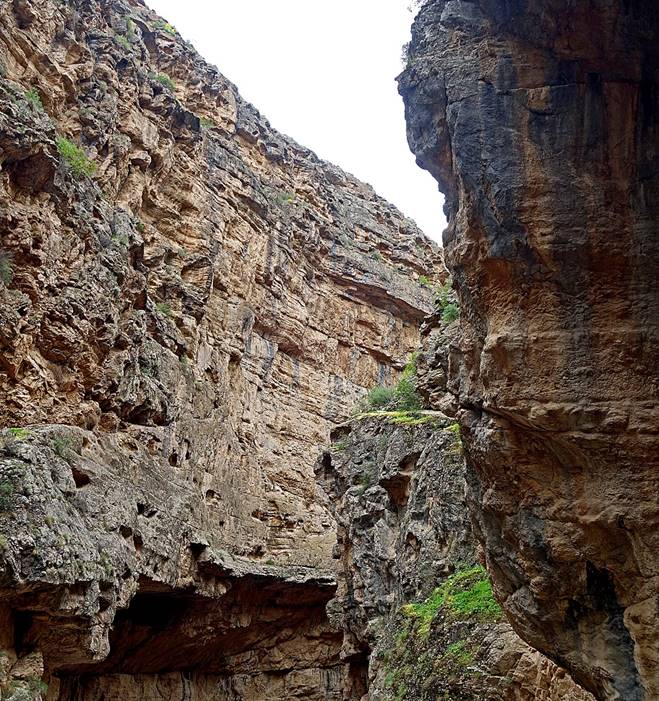
Huge cliff overlooking the Machay river, upstream from Derbent. It could be a paradise for big wall climbers.
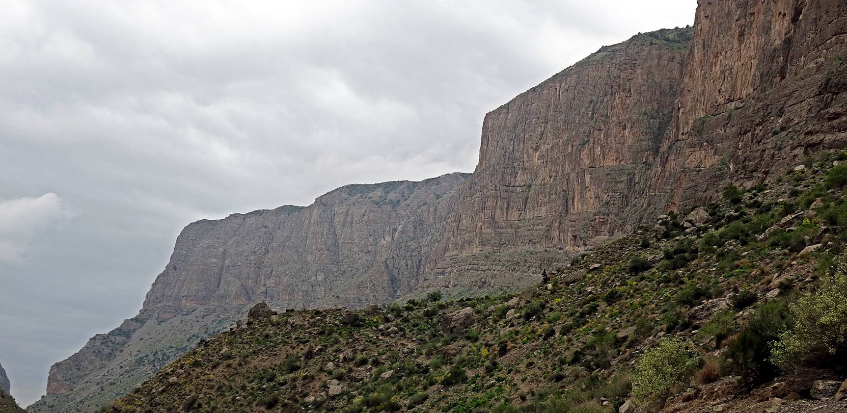
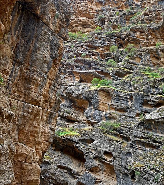
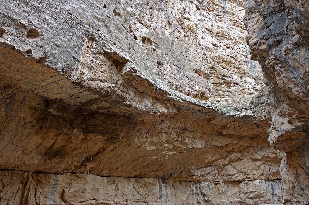
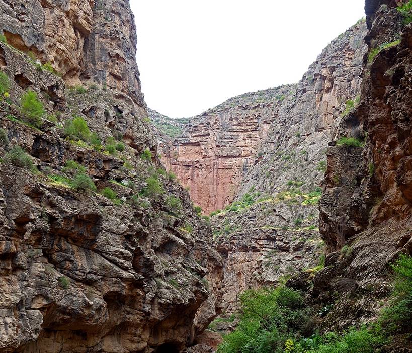
Views of the Derbent gorge.
|
|
|
|
|
|
|
|
|
|
|
|
|
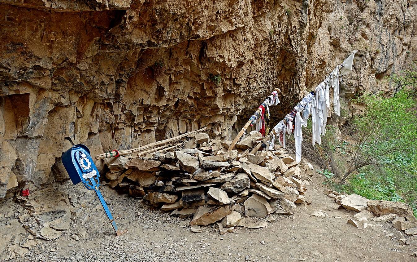
The source I believe to be called Khoja Moi Khana, about 35km by road from Boysun and 15km from Derbent.
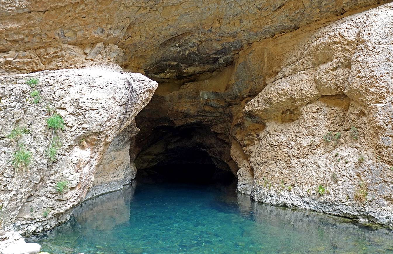
Facing the source, on the opposite side of the Machay river, a small cave reachable by a metallic ladder is an unassuming place where people come to knot scarfs and make donations, hoping their wishes will come true.
![]()