Traverse of
Turkestan range, South-West Kyrgyzstan (2011)
![]()
Return to my
mountaineering-trekking-travel webpage
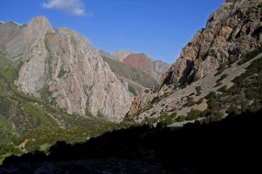
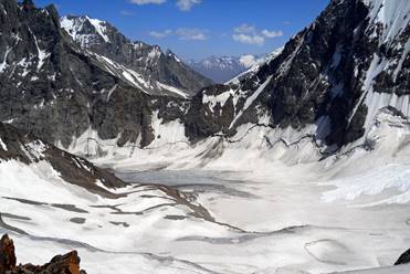
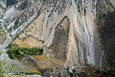
The Turkestan range
lies at the remote south-western end of Kyrgyzstan, on its border with
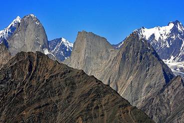
Tajikistan. It boasts a wide diversity of spectacular sceneries, including
sharp peaks rising above 5000m, large glaciers, huge granite walls, green lush
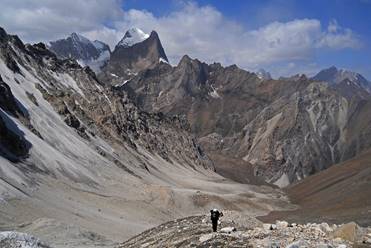
valleys, and deep gorges. I had made two previous trips to this range, in 2004 (Aksu peak and Karavshin areas) and 2005 (Matcha area). My goal in 2011
was to ″connect these dots″ and traverse the entire range from its
western end near the village of Andarak (located a
dozen kilometers south-west of the small town of Isfana)
to its western end at the village of Zardaly (located on the Sokh
river, south of the Uzbek Sokh
enclave). I did this traverse with Maksim and Slava, two Russians who live in Tashkent. I had already
traveled with Maksim in 2005 and 2010, and with both Maksim and Slava
in 2008. They are terrific companions and guides, and have become
good friends over the years. The logistics for this trip was organized with the
help of Boris Karpov in Tashkent (Boris had helped me
on all my previous trips to Central Asia) and Aksai
Travel in Bishkek. All the topographic maps shown below were provided to me
by Boris Karpov.
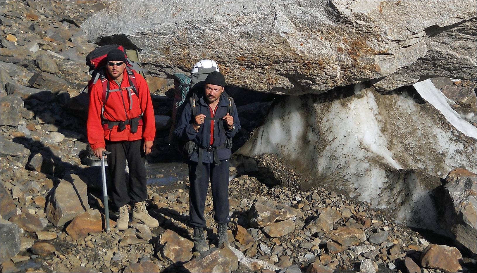
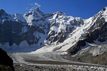
Slava, left, and Maksim, right, on Minteke
glacier.
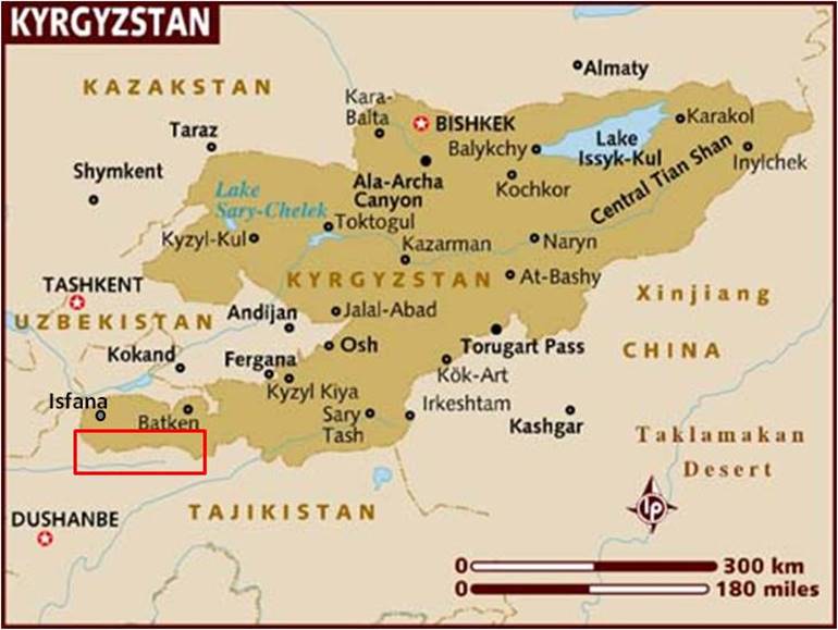
Location of
the Turkestan range, in red box:
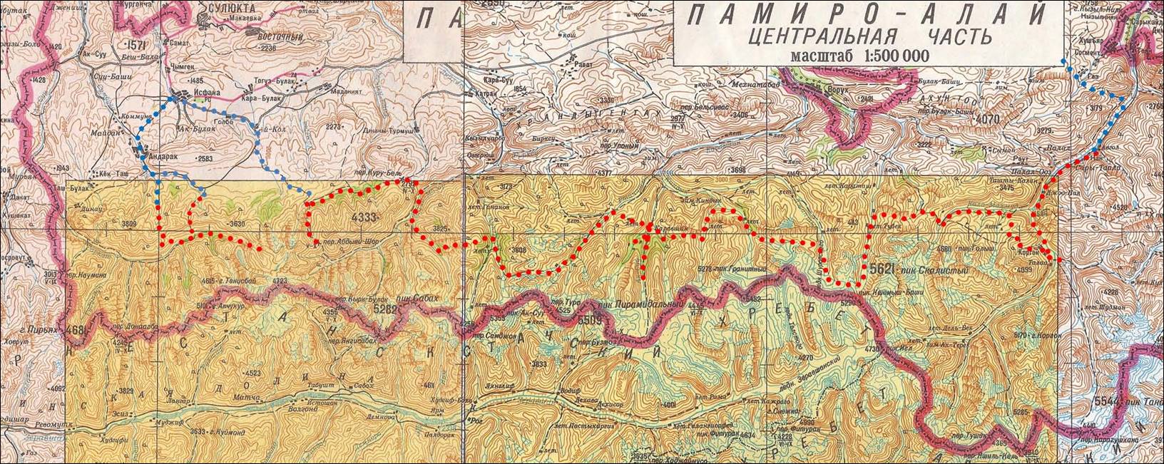
Approximate itinerary
below: on foot in red, by car in blue (more detailed maps will be shown for
each ″leg″ of the traverse, see links below). The distance between
two vertical black lines in this map is 42.5 km. We did the traverse in 23 days. We had initially arranged two food deliveries by horses,
one below Aksu peak and the other in Kshermish valley. Amazingly, both deliveries were done
right on time.
The pictures
of the traverse are divided below into 7 ″legs″. To see them click
on the following links:
|
|
|
|
|
|
|
|
|
![]()